The Glyderau – or Glyders – run laterally through the north of Snowdonia National Park. Comprising five summits over 3,000 feet, it is possible to tramp the entire range in one arduous day.
Those who prefer to take their time, however, might consider a shorter loop (though still strenuous), starting at the Llyn Ogwen and climbing past Llyn Bochlwyd and the Bwlch Tryfan saddle before veering west on to the Glyderau backbone.
Once up high, the views are immense, no matter where you stand.
Other walks in the area include a circular walk around Llyn Idwal, an ascent of Snowdon via the Llanberis Path and a spectacular climb along the Cnicht ridgeline.
Discover more walks in Snowdonia
Packed with great mountain climbs, idyllic river walks, lakeside rambles and coastal hikes, Snowdonia National Park is the perfect getaway location for hiking – our pick of the best walks in Snowdonia, Wales.
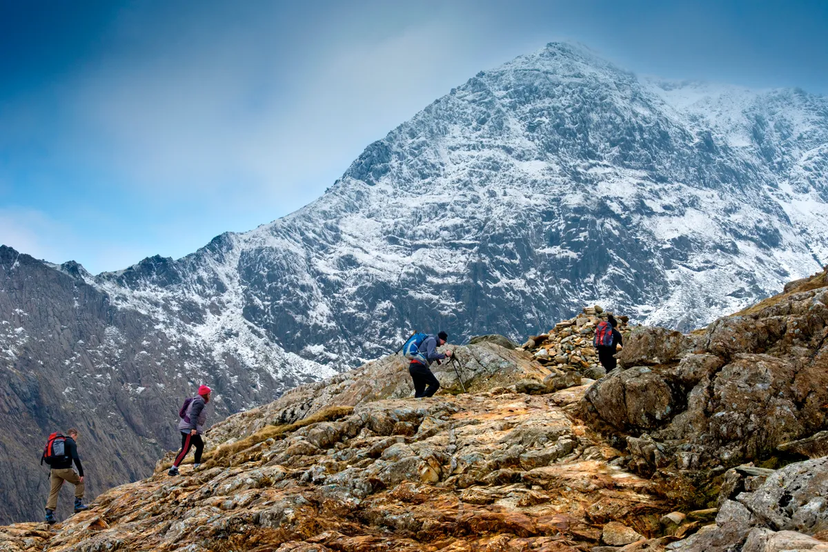
Glyder Fach walk
4.7 miles/7.5km | 743m accent | 4 hours | challenging
1. Llyn Ogwen
From the National Trust’s Carneddau and Glyderau parking area beside Llyn Ogwen, take the path to the left of the toilets.
The way immediately veers left, climbing among heather on stone slabs for 50m to reach a wooden gate. Just beyond is the Afon Idwal, a vivacious river of split rock and steaming white water, spanned by a wooden bridge. Beyond the falls is the sprawling mass of Y Garn, one of 15 peaks in Wales over 3,000ft in height.
Cross the flow and continue on the well-maintained path for 150m. Cwm Idwal is one of just a few places where the rare Snowdon beetle has been recorded, so keep your eyes peeled.
Where the main track bends right, take the small side-trail to the left. The way becomes rougher underfoot yet remains clear as it ascends, with the distinctive scalene summit of Tryfan straight ahead.
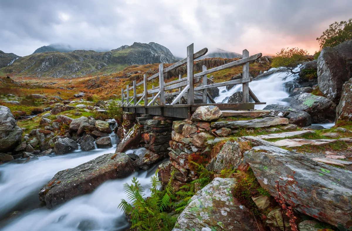
2. Nant Bochlwyd
After about 500m, the path steepens and bends to the right between two hulking buttresses: Clogwyn Y Tarn and Bochlwyd Buttress.
Stick to the right-hand side of the gap (Clogwyn Y Tarn) to meet Nant Bochlwyd. Do not cross the river but instead remain on the main trail. Climb a series of steps alongside the cascade, which gradually become more energetic, before flattening to a boulder field interwoven with mats of grass and plaited waterways.
Llyn Bochlwyd walk
This toppling cascade and high-level lake, hidden in a cwm beneath the great Glyderau range, is an exhilarating alternative to the well-trodden lures of Snowdonia far below
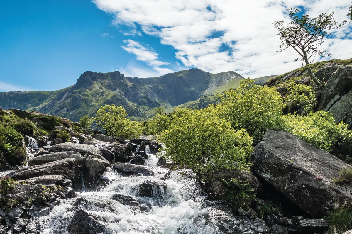
3. Llyn Bochlwyd
Ahead is Llyn Bochlwyd, a placid lake hidden from the tourist trap of Llyn Idwal far below. Take some time to appreciate the grandeur of the water and the surrounding Glyderau mountains before taking the path to the left of the water, climbing steadily south-east to reach Bwlch Tryfan.
4. Bwlch Tryfan
From the pass, continue on the path south-east, undulating over rock and scree before climbing more steeply. The path soon flattens at a meeting of paths, with spectacular views to the south across Snowdonia.
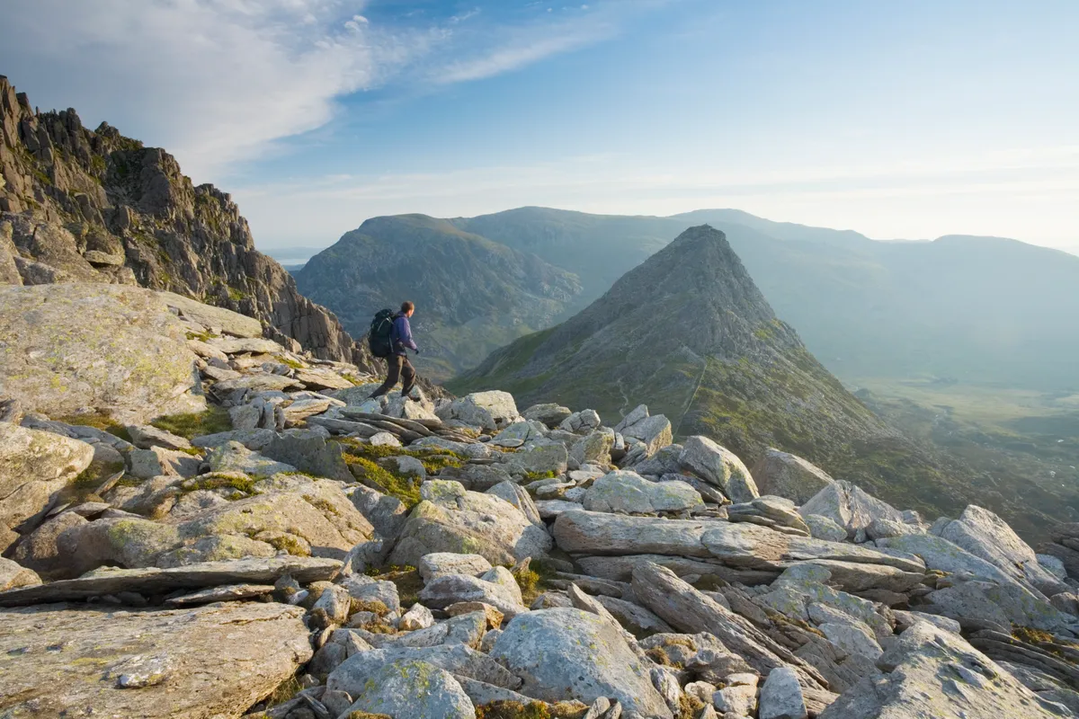
5. Glyder Fach
Turn right and follow the clear path up the side of Glyder Fach. The going is steep but steady. As you near the top you'll be presented with a stretch of huge boulders. You may need to use your hands here, picking a route easily through the rock.
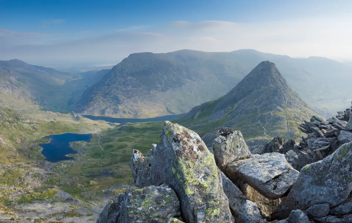
Once over the boulders, Glyder Fach's 994m summit lies to the west. Take care as you make you way too it – the drop to your right is sheer.
The Snowdon Massif dominates the scene to the south, its iconic horseshoe ridge swinging towards the horizon, while to the north lies Nant Ffrancon Valley. Fed by the slate-blue waters of Llyn Idwal and Llyn Ogwen, the Afon Ogwen winds through the heart of the flat-floored basin and north towards Conwy Bay.
Fields of sheep and drystone walls fan out from the river, dissipating as the flanks of the valley steepen – 800m up, more mountains loom. The clouds come and they go, a raven rises on a thermal, and a mountain wind blows.
6. Castell y Gwynt
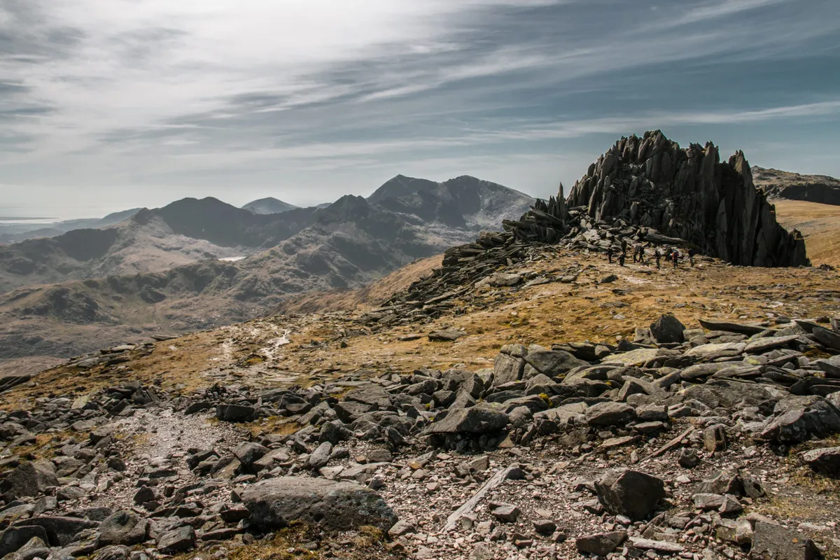
Descend south-west over rough ground to Castell y Gwynt. Shaped like a mound of jousting lances, Castell y Gwynt has a foreboding aura. Yet in truth it is a refuge, the very nature of its splintered form making it the perfect place to shelter from Snowdonia’s default weather of wind and rain.
7. Bwlch y Ddwy-Glyder
Continue in a westerly direction, skirting the left-hand side of Castell y Gwynt. An easy scramble over large boulders takes down to a clear path which then curves to the right up to a flat-topped highpoint.
Those with energy to spare can continue on west to Glyder Fawr, but this route takes you north down the Y Gribin ridge.
8. Y Gribin
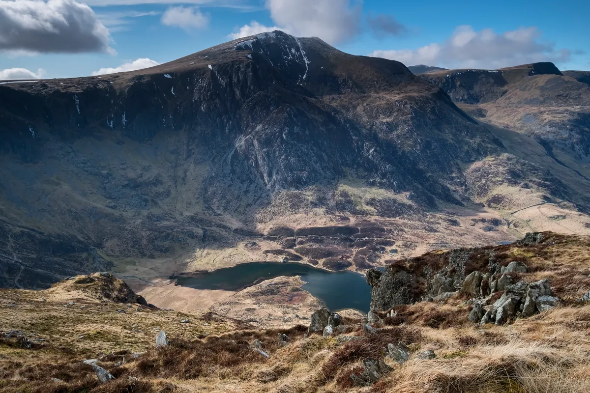
Walk north, edging to the left-hand side of the summit. Take care as you scramble down the rocky ridge. This first 200m stretch is the most difficult.
The ridge soon plateaus then descends again, this time on an easier, yet still steep, path. Stick to the ridge for about 1km until you reach a crossing of paths. Here, turn right and continue descending to reach the shores of Llyn Bochlwyd, eventually meeting your outbound route and the lake's outflow.
9. Car park
Now, it's simply a case of returning the way you came back down to the car park.
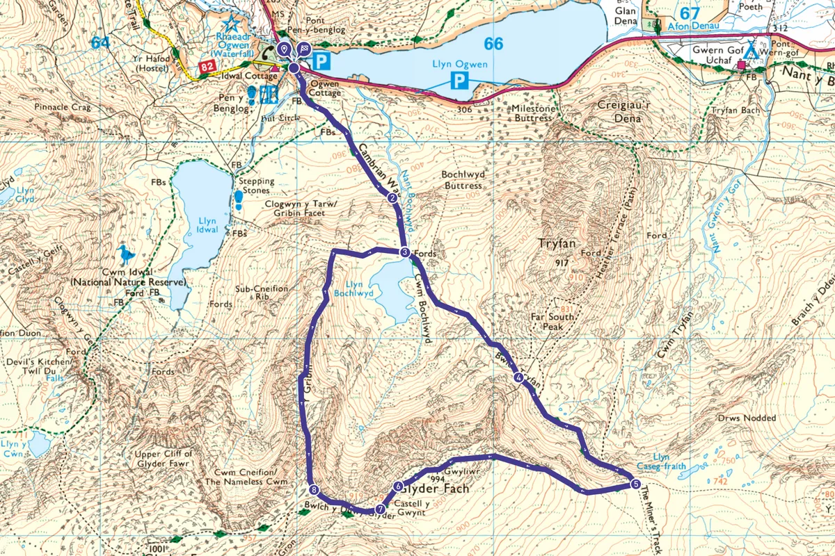
Glyder Fach map
Glyder Fach walking route and map
Visit the National Outdoor Centre in the nearby village of Capel Curig to learn more about outdoor pursuits in Snowdonia. pyb.co.uk
