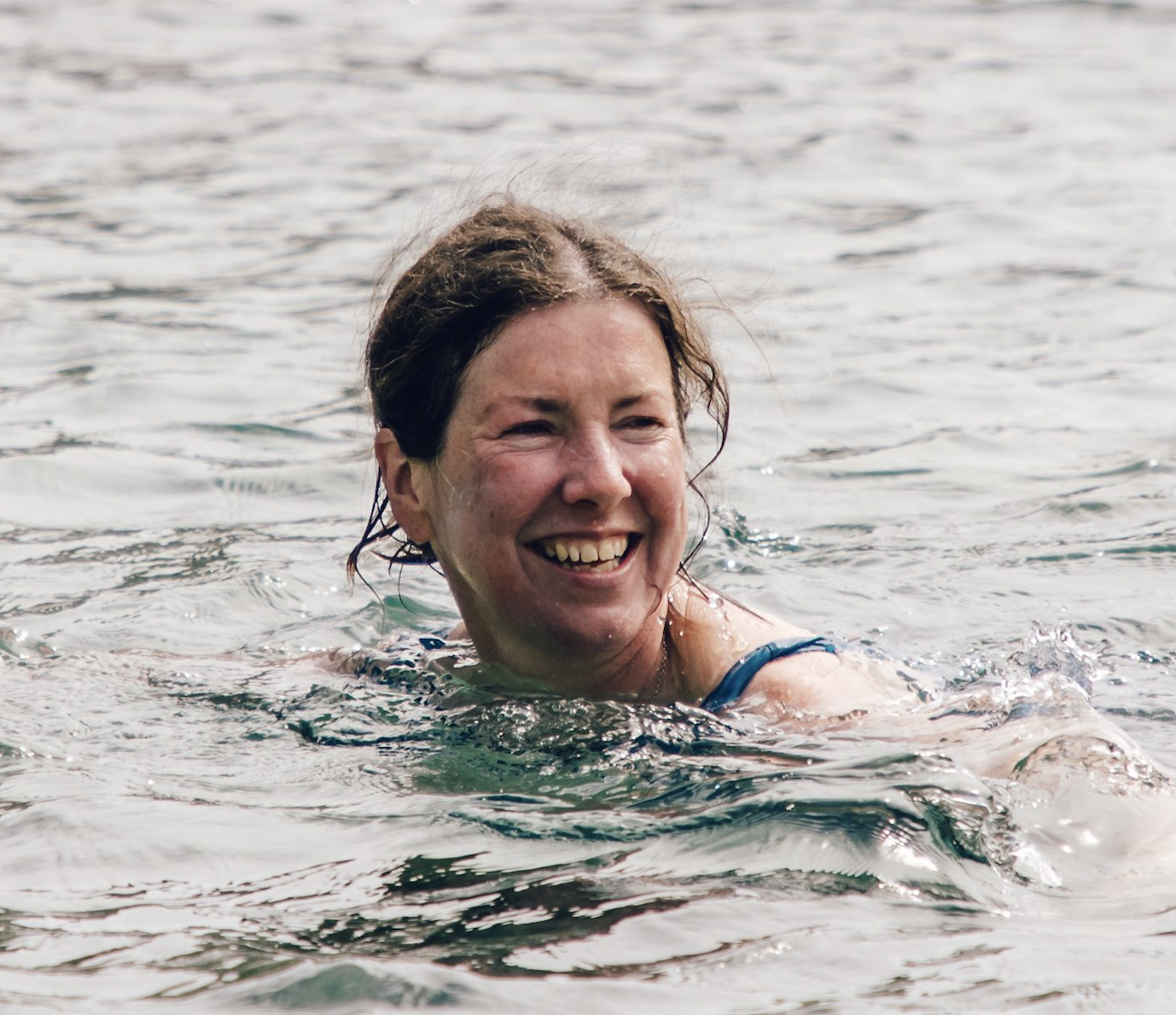
With its sprawling sandy beaches, endless skies, atmospheric castles and churches, and a dramatic coastline teeming with wildlife, Pembrokeshire is one of the most beautiful places to visit in Britain.
From hiking the gorgeous Pembrokeshire Coast Path to sea kayaking or surfing or even coasteering, this wild and wonderful place is the perfect holiday destination for families, friends and lone-rangers alike
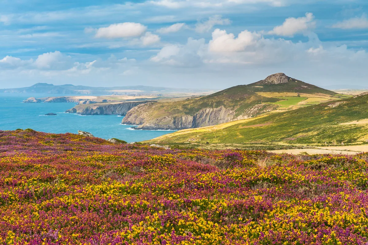
Guide to Pembrokeshire, including the best towns and villages, places to eat, history and the best walks.
Towns and villages
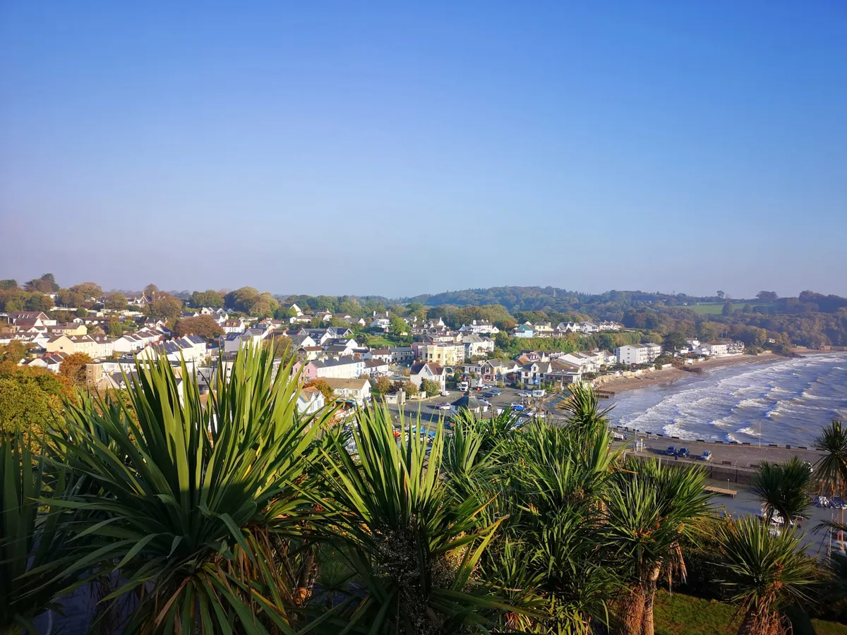
Saundersfoot
Saundersfoot is the perfect location for some bracing sea air, set right on the Pembrokeshire coast in the heart of Britain’s only coastal National Park. It boasts a number of sandy beaches, some bustling and buzzing with activities such as watersports and sailing, others more secluded for those wishing to enjoy a bit of solitude while admiring the views. Saundersfoot’s picturesque harbour was originally built in 1829 to expedite the transport of coal – over 30,000 tonnes a year – from nearby pits.
The Woodlands Hotel is set in the heart of Saundersfoot, just 350 yards from the beach and village centre. All nine rooms have en-suite facilities and have a view of the sea or patio garden. Tel: 01834 813338.
If you’re looking for a taste of Wales, then the Orangery Restaurant, which is part of the Gower Hotel, is the place to visit. Most of the menu is produced from locally sourced goods – including seafood – while the meat is all organic.
St David's
St David’s is attractively equipped with tea-shops, pubs and an art gallery, but the cathedral, sunk in a lush valley, is its beating heart. Stuffed with tombs and chapels, it seems to emanate peace and light from its stones. Perhaps it’s the ancientness of the rocks that creates the sense of tranquillity suffusing this peninsula. Or perhaps it’s still saturated with the prayers, hopes and goodwill of all those pilgrims.

Porthgain
Sweeping around the south wall of Porthgain’s narrow harbour is a ruined brick structure, full of arches and windows like battlements. But it was never a castle. There’s a clue to what it once was in the area’s name; Porthgain means ‘chisel port’, and it’s a reference to the slate that was quarried nearby and shipped from here during the 19th century. In later years, when slate production gave way to crushed granite, the channels and hoppers that make up the castellated complex were used to pour the aggregate directly into ships waiting in the harbour below.
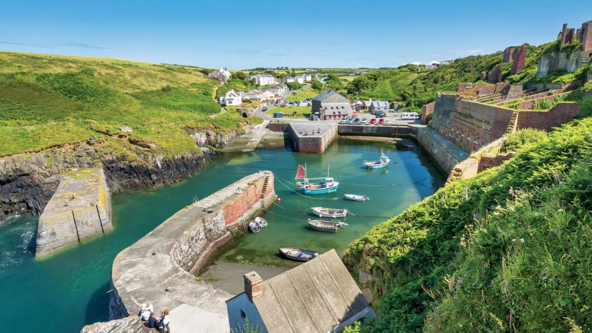
The quarrymen’s cottages that line the edge of the village are now art galleries festooned in fishing floats and the old machine shop is The Shed Bistro, selling fish and chips. All this makes Porthgain the perfect place for a short break. (Accommodation is in short supply here, but there’s more in nearby Trefin.)
Fishguard
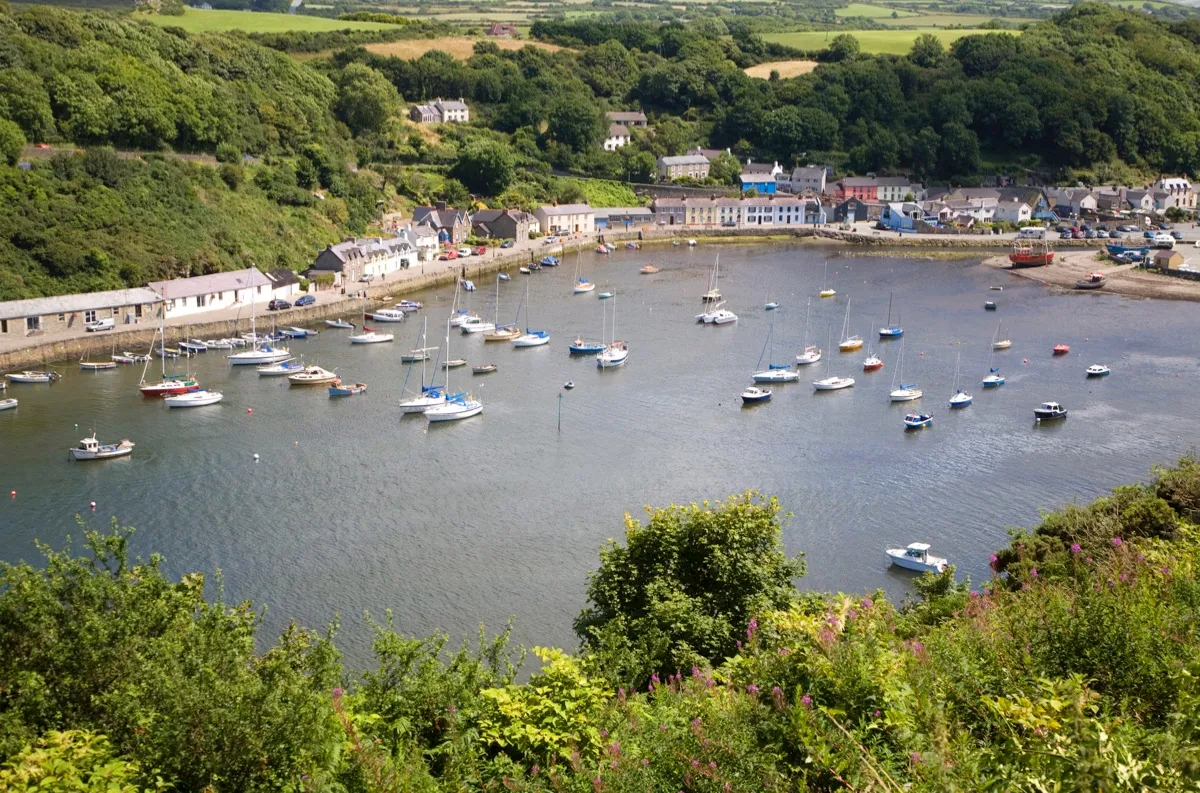
Fishguard is an excellent place to start or finish a walk through the ancient Pembrokeshire landscape. Craggy, quaint and accessible, it’s a glorious colourful muddle of pubs and shops, with a steep ascent to the town centre and an easy stroll to the old and utterly charming harbour.
Places to visit
Porthclais Harbour
Porthclais Harbour, around six miles from Solva, is a pretty, sheltered inlet. In the Middle Ages, pilgrims landed here, bound for the cathedral at St David’s. To follow in their footsteps, set off a short distance inland, down dusty white roads between tall hedges and medieval fields, to the smallest city in Britain.
Treginnis headland
At Treginnis headland, an emerald sea booms and seals sing haunting songs in the caves. This peninsula was formed 600 million years ago; the rocks beneath my feet are the oldest in Wales.
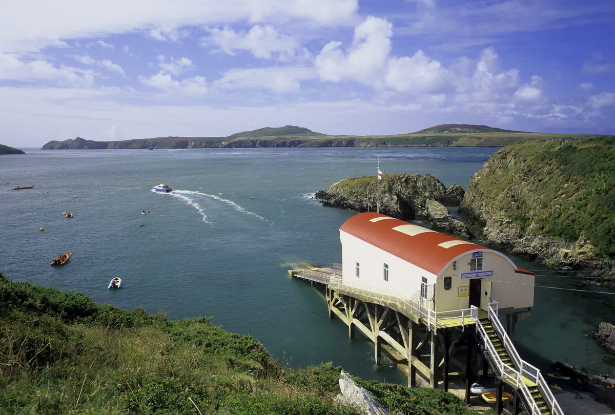
The views across perilous Ramsey Sound are dramatic, as Ramsey Island rises like a wall, with its outlying islets and their gulls and auks. Just as striking is the approach to the tiny settlement of St Justinian’s with its purple rock formations shot through with white stripes and orange crystal.
Whitesands Bay
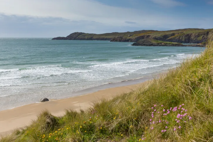
Green and gold fields undulate around the big scoop of beach at Whitesands Bay, from where St Patrick set sail to convert Ireland to Christianity in the 6th century.
The severity of the sea here can be startling – the heavy storms in the winter of 2014 were enough to exhume the ancient remains of those buried long ago at St Patrick’s Chapel. At very low tides, the sands sometimes recede to reveal the bones of auroch, red deer and brown bear among the blackened, fossilised stumps of a submerged, prehistoric forest.
Regardless of the sea’s mood, Whitesands is a good place to stop and refuel (it has a lovely café). But it’s also home to a surf school, which means its waters can get busy, so if you fancy a swim, Porth Lleuog – just over the headland – is quieter.
St David's Head carns
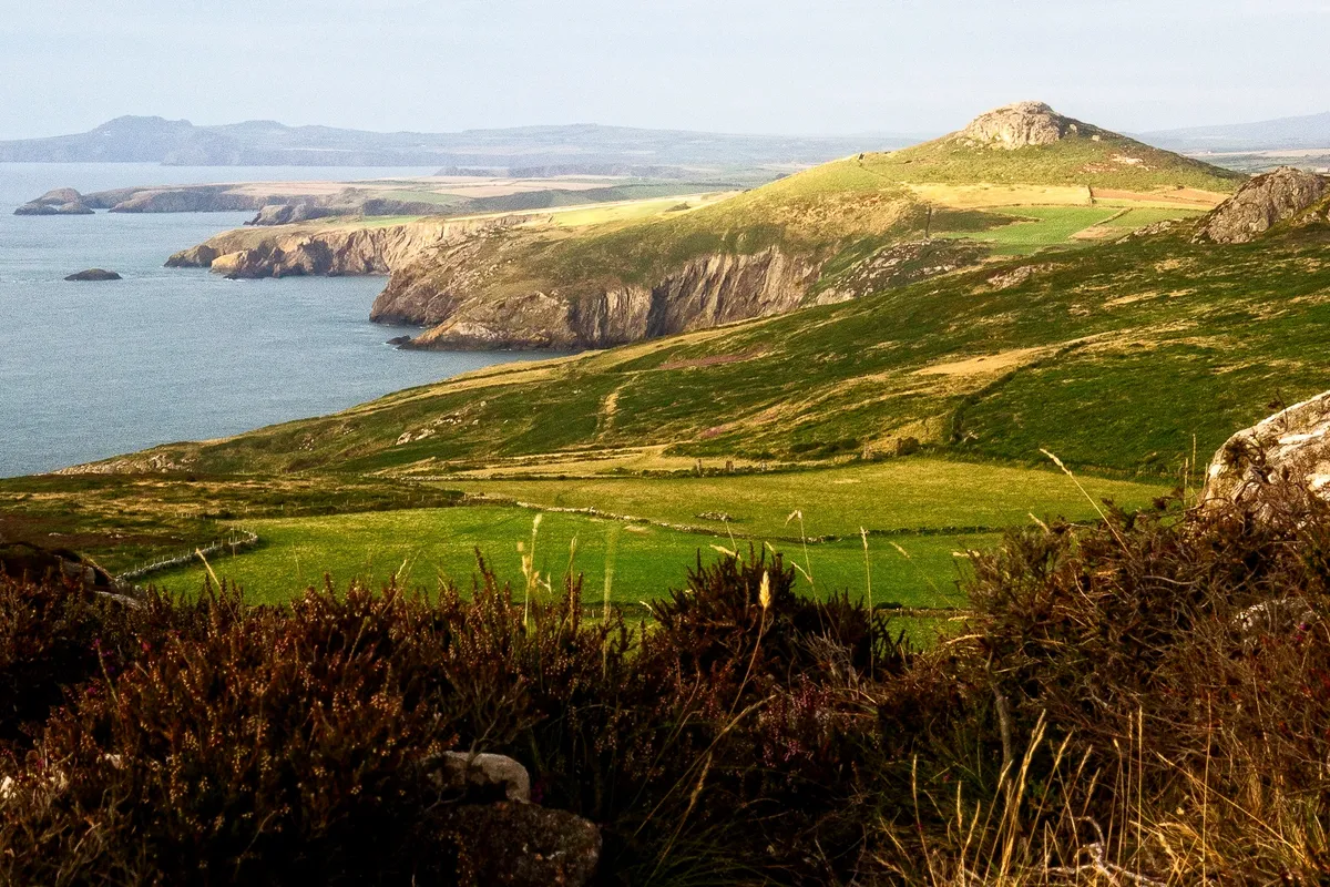
North-east of St David’s Head, the cliffs are wild and high, and the few tiny coves are inaccessible. But the rocks beg to be explored – they’re shot through with quartz that sparkles against black earth.
The coastline here is rugged, dominated by the carns – small rocky knolls that poke up through the earth as if straining to reach the sky. The tallest of them stretches almost 180m above sea level. There’s Carn Hen, Carn Llidi, Carn Penberry and others. Each is crusted with hard volcanic rhyolite and dolerite; thousands of years of erosion have washed away the softer stone around them. Labyrinthine paths take you among these deserted hills, alongside Iron Age field enclosures and burial chambers that imbue the place with a powerful sense of antiquity.
Abereiddy
After roaming these empty hills around St David's Head, the hamlet of Abereiddy seems busy, with visitors relaxing on the beach or swimming in its blue pool. Once a slate mine stood here; the ruins of quarrymen’s cottages still remain and overlook the beach.
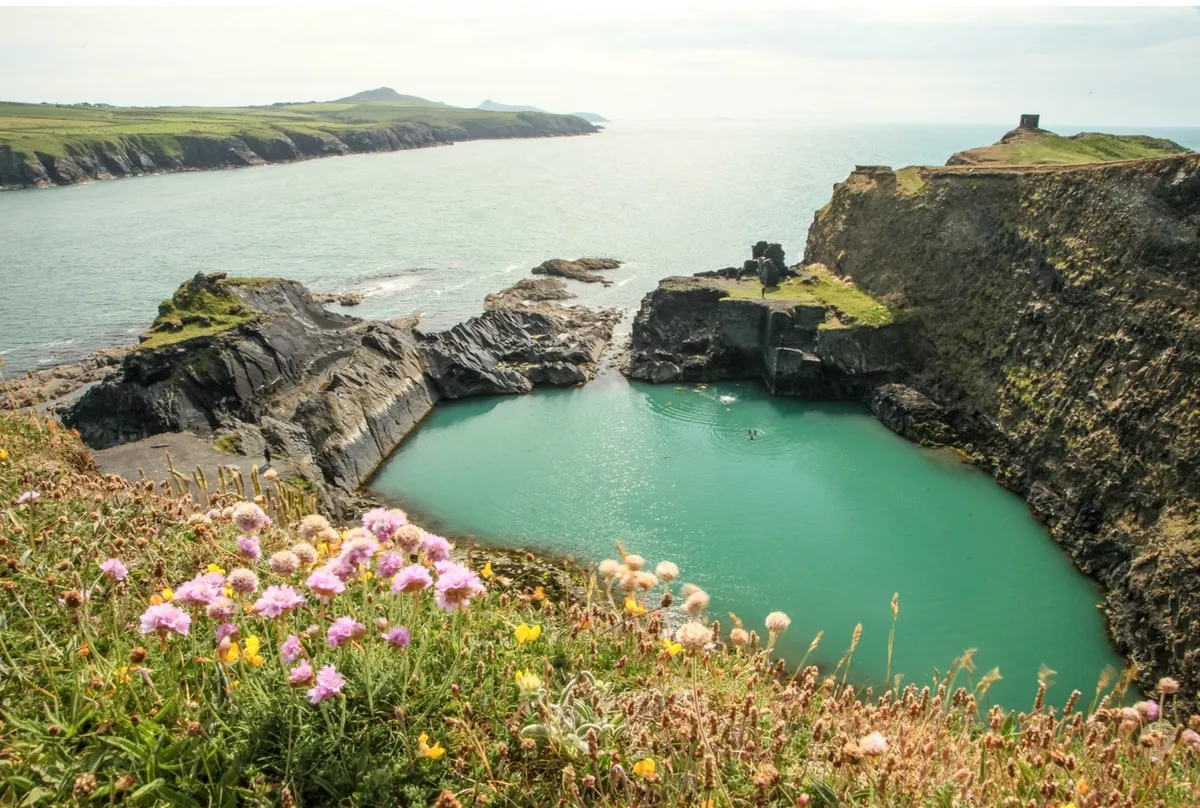
After the quarry was abandoned, fishermen blasted a passage through the cliff to allow the sea to pour in and provide a sheltered harbour. The resulting ‘lagoon’ is now used for high-diving contests and a local company operates a safer but no-less adventurous coasteering experience around its rocks. (www.celticquestcoasteering.com).
Traeth Llyfn beach
After Abereiddi the path edges over a grassland plateau. Below it is the beach Traeth Llyfn, like a bite taken out of the cliffs. It’s a wide strand of clean, brown sand, draped at low tide in glistening green seaweed.
Tregwynt Woollen Mill
Just inland from Abermawr is Tregwynt Woollen Mill. This humble stone mill has been in the same family since 1912 and you can watch rolls of beautiful woollen cloth being woven in the working factory today (www.melintregwynt.co.uk).
Strumble Head
The always-vibrant Strumble Head peninsula excels in shimmering summer showers and muted light, when the warm earth’s scents are enhanced and heather glows like amethyst. The small sandy bay at Pwllcrochan is awesome in any weather. Here the coast path slumps down to deliver you to its rocky shore and caves booming with swell. High above, like those at St David’s, are the ancient hills: Carn Ogof, Garn Fawr, Garn Folch. They combine to form a phenomenal, deep-purple landscape edged with mighty cliffs that, when wet, appear steeped in theatrical light.
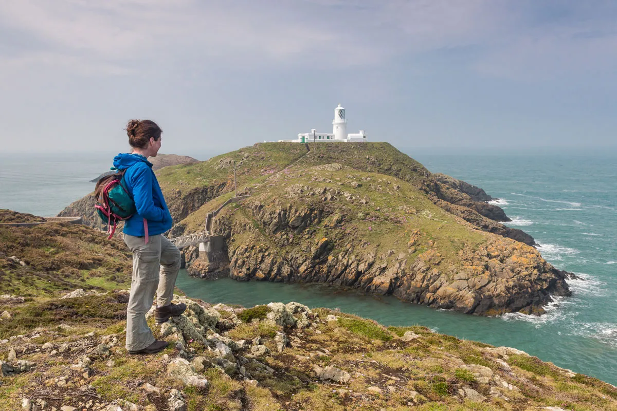
At the lighthouse, waves from the west clash with tides from the north. It’s an easy romp from here to Fishguard, along the cliff-top heath tangled in lady’s bedstraw and kidney-vetch. Below the cliffs, the pebbled coves wobble with fat grey seals.
At Carreg Wastad Point, you pass the site of the last – failed – invasion of Britain in 1797, before arriving in Goodwick and then Fishguard.
Pembrokeshire islands
Ramsey
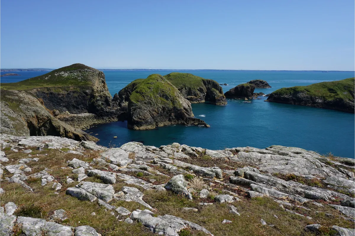
Ramsey lies just a mile from the St. David’s peninsula (in fact its Welsh name, Ynys Dewi, means ‘St. David’s Island’) and is one of the most spectacular of all the islands off the Pembrokeshire coast. Ramsey island walking route and map.
Skomer
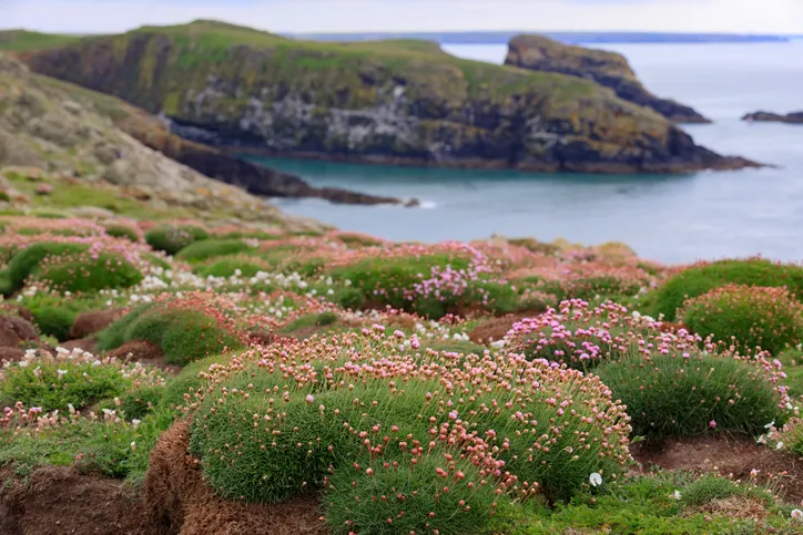
A protected National Nature Reserve since 1959, Skomer Island is one of the most important wildlife sites in Europe. In one day you can see puffins, grey seals, rare wild flowers, stunning views and much more. Skomer walking route and map.
Caldey Island
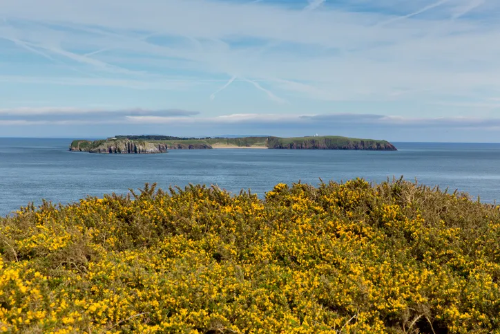
Explore the historic Welsh island of Caldey and its Cistercian abbey, where woodlands resound with birdsong and path verges blush pink in spring with clumps of thrift. Caldey walking route and map.
Places to eat
Fish and Chips: The Shed, Porthgain
Specialising in local seafood, fish and Pembrokeshire potatoes, the service is great and the premises (right) creatively snug. Warning: they also do cream teas. 01348 831518, www.theshedporthgain.co.uk
Tea and Ice cream: The Bench, St Davids
The delicious artisan Italian ice creams, sorbets and yoghurts served here are made from local Caerfai Farm organic milk. 01437 721778, www.bench-bar.co.uk
Pub food: The Farmers Arms, Mathry
Just half a mile inland from Abercastell, The Farmers Arms serves classics and local specialities, such as Abercastell crab cakes. Pembrokeshire SA62 5HB, 01348 831284, thefarmersarmsmathry.co.uk
The perfect pint: The Sloop Inn, Porthgain
An 18th-century pub with a view over the former industrial port, ideal for watching sunsets, www.sloop.co.uk
Places to stay
Camping: Caerfai Farm, Caerfai
Right on the coast, the campsite on this farm has superb views and a shop that sells croissants and cheese made on-site with milk from the Caerfai cows. 01437 720548, www.caerfaifarm.co.uk
Bed and Breakfast: Old Cartlett House, Trefin
Retreat from bad weather with Welsh cakes and an open fire, or enjoy pretty gardens when it’s fine. Serving hearty locally sourced breakfasts for hungry walkers. 01348 837476, oldcartletthouse.com
A friendly inn: The Hope and Anchor, Goodwick
A great pub with good beer, excellent food and rooms that overlook the bay, a hop from ferries to Ireland and the lively town of Fishguard. Fishguard SA64 0BP, 01348 872314
Pembrokeshire Coast National Park
Established in 1952, the Pembrokeshire Coast National Park, designated within the county of Pembrokeshire, is one of three national parks in Wales. Covering 243 sq miles, it includes an incredible coastline of natural arches, stacks and sea caves, along with a wealth of sandy beaches and seaside towns – all can be discovered on the Pembrokeshire Coast Path. Away from the coast, the park also includes marshes, inland forests and the rolling Presell Hills.
Wildlife highlight: puffin
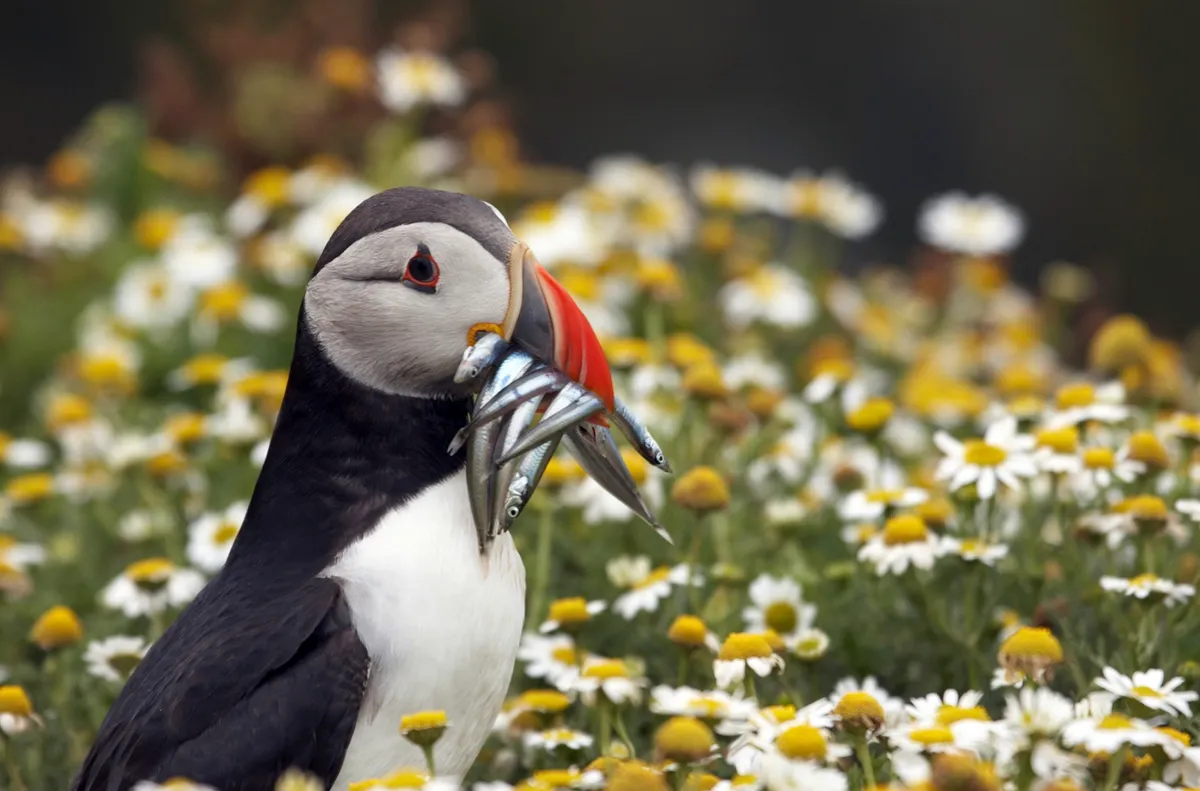
Puffins are carnivores, living off small fish such as herring, hake and sand eels. They can hold their breath for up to a minute – although they generally stay underwater for about thirty seconds – and can dive as deep as sixty metres. Head to the Pembrokeshire and spot these comical seabirds perched on the cliffs and neighbouring islands.
Walks
Explore the rugged cliffs, sweeping bays, rolling hills and extraordinary wildlife of Pembrokeshire with our favourite walks.
Pembrokeshire Coast Path
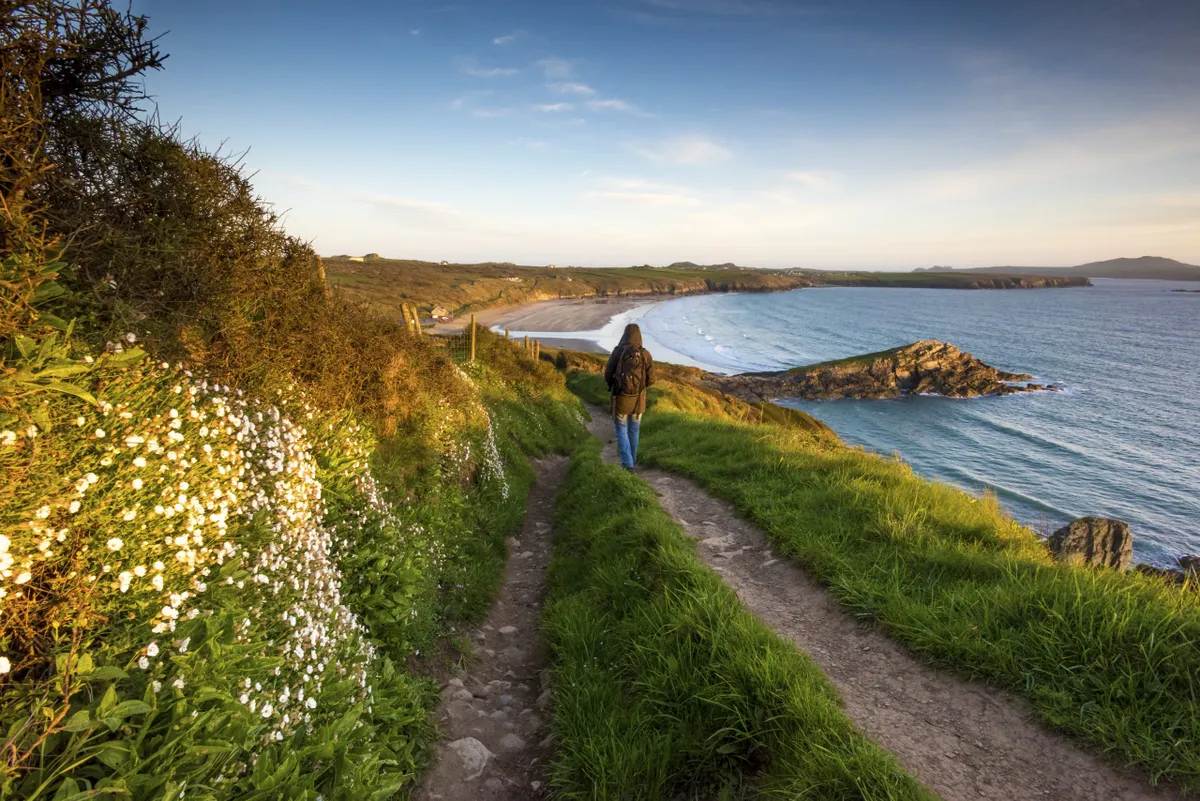
Like a squashed-together ball of plasticine, the Pembrokeshire coast is a glorious, colourful muddle. To protect the diverse geology and the wildlife it supports, the Pembrokeshire Coast National Park was founded in 1952. Threading its way around the park is the Pembrokeshire Coast Path, which has been thrilling hikers and strollers alike since 1970.
Be warned, though: the ups and downs on this coastline are numerous. Its cumulative ascent equals the height of Mount Everest. Some sections are tough and remote, but others are easier, allowing for relaxed rambles among coastal flowers and beaches. With the help of an excellent coastal bus service, much of the route is accessible, even without the use of a car. And, generally speaking, you’re never far from a bed or a cappuccino. nationaltrail.co.uk/pembrokeshire-coast-path
Marloes Peninsula
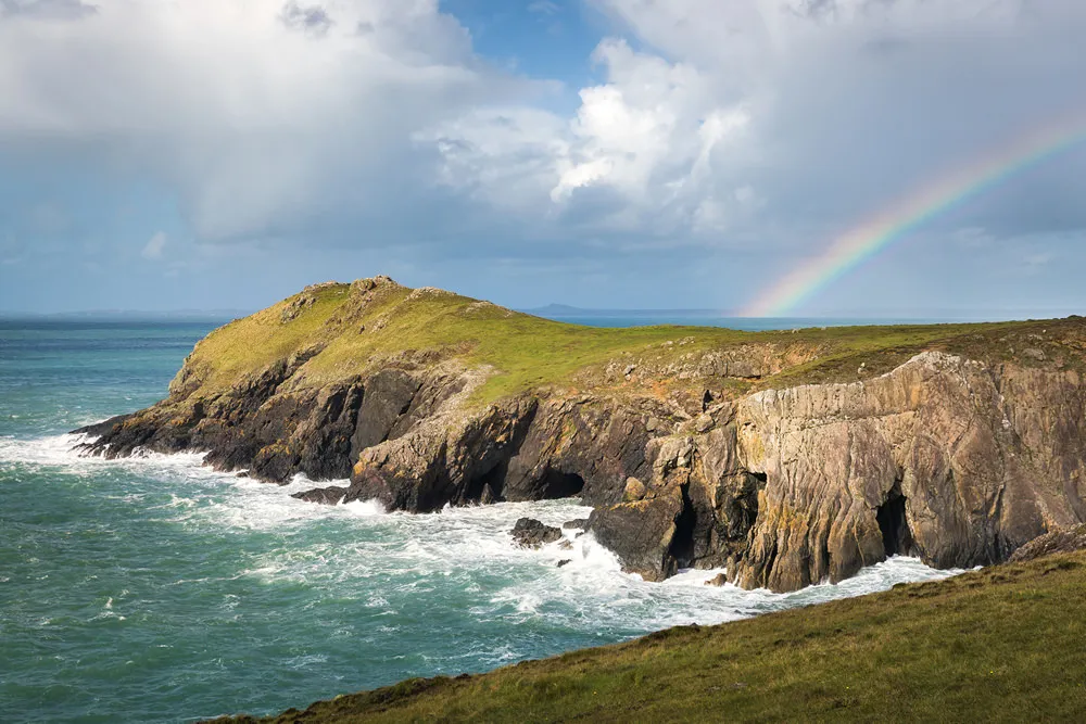
One of the finest stretches on the Pembrokeshire coastline, the Marloes Peninsula takes in a long sandy beach, dramatic rock formations and clifftops of wildflowers. Marloes Peninsula walking route and map.
Tenby to Saundersfoot
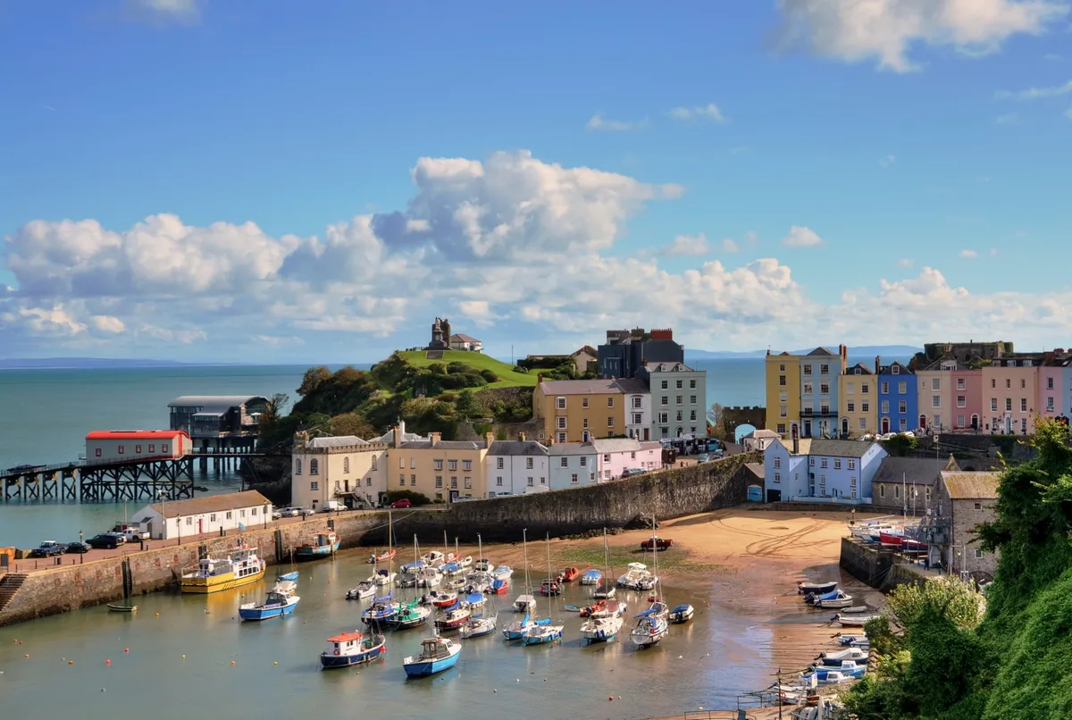
Perched on the western fringes of Carmarthen Bay, the charming seaside towns of Tenby and Saundersfoot are designated conservation areas that offer superb Blue Flag beaches and picturesque harbours. Explore the beaches and seaside towns of south Pembrokeshire’s sandy coast with a seven-mile circular walk. Tenby walking route and map.
Preseli Hills
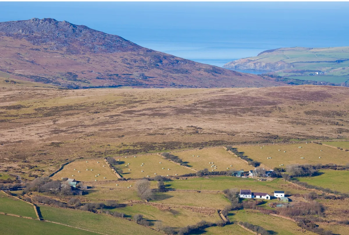
The Preselis have a rich and dramatic past, not least being the fabled source for the bluestones that make up the inner ring of Stonehenge. Explore them on foot with a six-mile walk. Preseli Hills walking route and map.
Porthmelgan
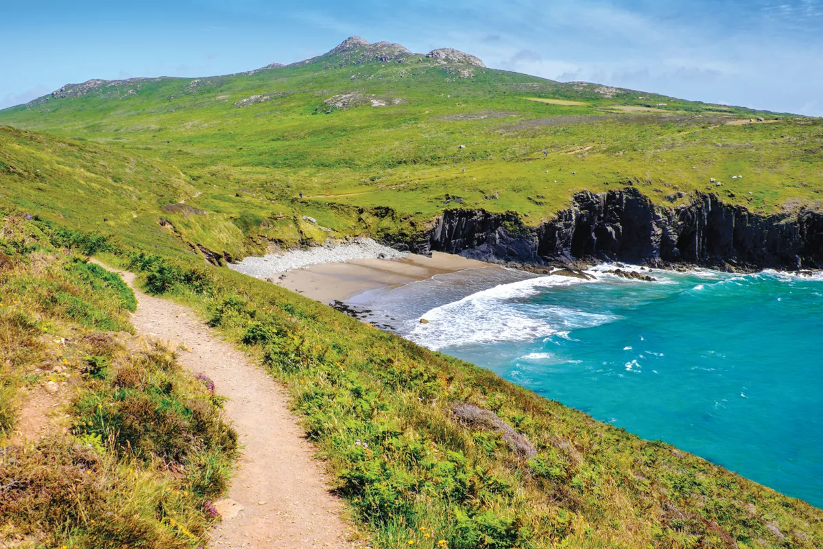
Sheltered beneath the bulk of St David’s Head and its Iron Age remains is a half-moon of silvery rock and blonde sand known as Porthmelgan – the perfect summer escape. Porthmelgan walking route and map.
Julie Brominicks left a career in sustainability education to become a nature writer who lives off the grid in a tiny yellow caravan.
