Learn all about Britain's long-distance walking trails, known as National Trails, including history, length and walking advice on day hikes and multi-day routes in our comprehensive guide.
How many National Trails are there in the UK?
There are 16 National Trails in England and Wales and 29 Great Trails in Scotland. These long-distance hiking, biking and horse-riding routes explore some of Britain's most spectacular landscapes.
What are National Trails?
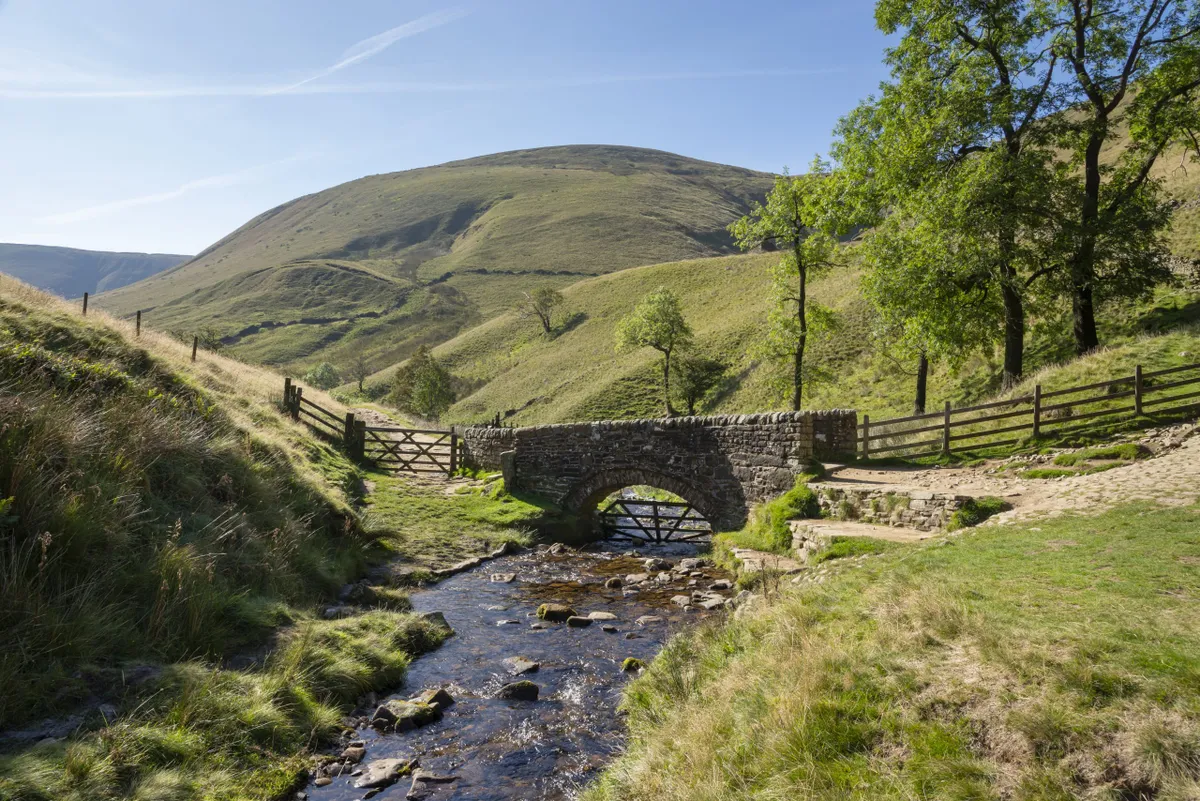
National Trails are long-distance paths that traverse some of the the most scenic and historic landscapes in England and Wales. Designated by the government, the trails adhere to a certain set of standards, setting them apart from other walking routes. They are well waymarked – look out for the distinguishing acorn symbol – and are maintained by one or more trail officers as well as volunteers.
There are 16 National Trails, varying in length from the historic 81-mile-long Hadrian's Wall Path to the epic 630-mile-long South West Coast Path. Each path has its own character, too; the Cleveland Way explores wild heather moorland, the Offa's Dyke Path traces the English-Welsh border and the Glyndwr’s Way journeys through a landscape famous for its connections with 15th-century warrior Owain Glyndwr.
Some sections of England and Wales' National Trails are suitable for bike riders and horse riders.
What are Scotland's Great Trails?
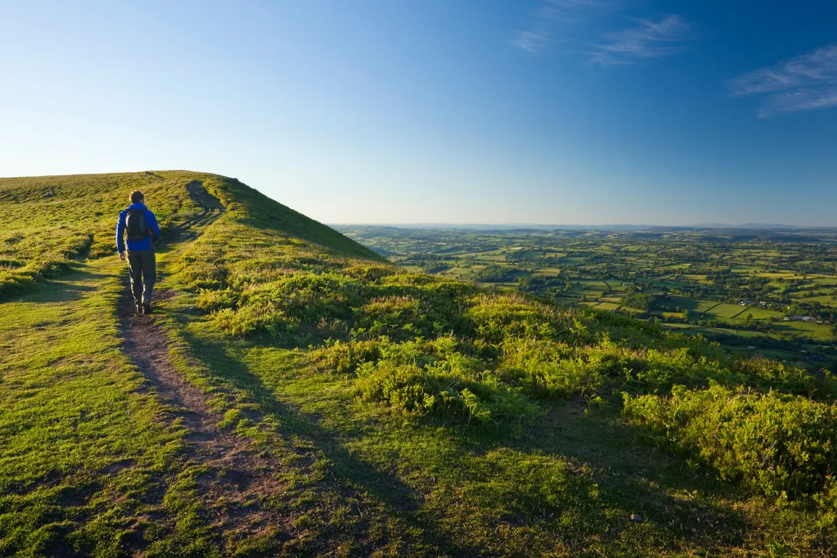
Scotland's Great Trails are, in essence, defined in much the same way as the National Trails of England and Wales, in that they are long-distance trails set among some of the county's most significant landscapes. The routes are at least 25 miles (40km) in length and are usually completed over a series of days. They are well waymarked, mostly off-road and have a good supply of amenities en route.
There are 29 Great Trails, used largely by walkers but also cyclists, horse riders, canoeists and kayakers.
National Trails of England and Wales
There are 16 National Trails in England and Wales. Find out more about each trail, including a brief route description, how long they are, the landscapes they pass through and their heritage.
Cleveland Way, 109 miles (175km)
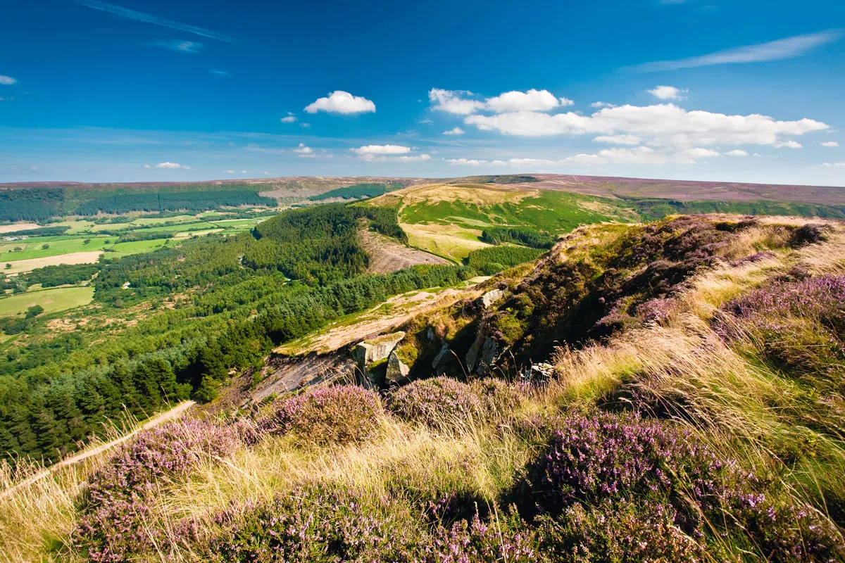
Route: this 109-mile-long route begins in Helmsley in the North York Moors, navigating the national park's heather moorland before following the Yorkshire coast from Saltburn-by-the-Sea south to Filey. The route's total ascent is 5,562m, the equivalent of climbing Ben Nevis four times from sea level.
Landscape: rugged hills and heather moreland, coastal cliffs, fishing villages and ancient monuments. Its highest point is on Urra Moor (454m:), which boasts prehistoric remains, including barrows and a rock marker carved into a face.
History: the path became a National Trail in 1969 after nearly 16 years’ work, becoming England’s second oldest National Trail.
Website: nationaltrail.co.uk/cleveland-way
Cotswold Way, 102 miles (164km)
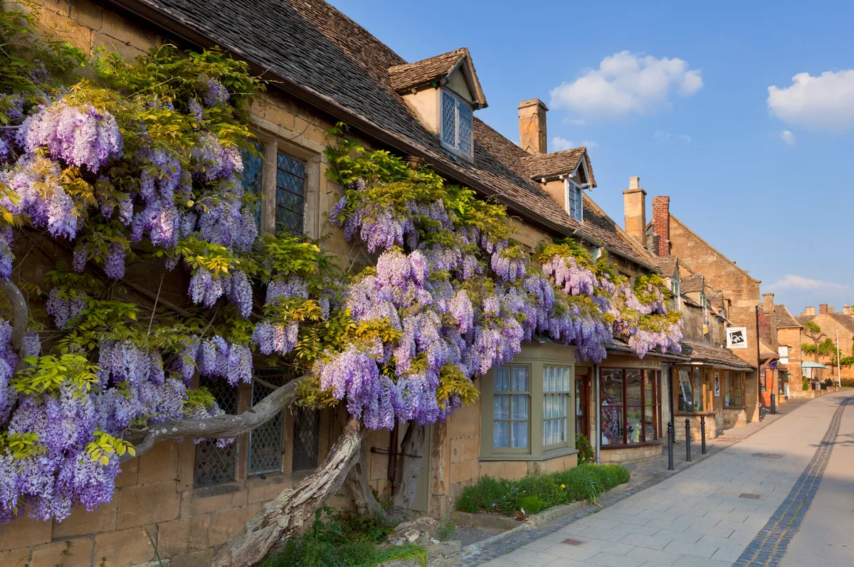
Route: the Cotswold Way is a 102-mile National Trail that runs from Chipping Campden to Bath in south-west England, mostly clinging to the edge of Britain’s most famous hills, but occasionally dipping down to visit the charming Cotswold villages. From one particular viewpoint, walkers are treated to an unforgettable panoramic view across 16 counties.
Landscape: wildflower meadows, beech woodland, classic Cotswold towns and villages and remarkable historic sites.
History: the way was devised by members of the Ramblers’ Association some 50 years ago, but it wasn't until May 2007 that the long-distance footpath was officially launched.
Website: nationaltrail.co.uk/cotswold-way
England Coast Path, 2,800 miles (when completed)
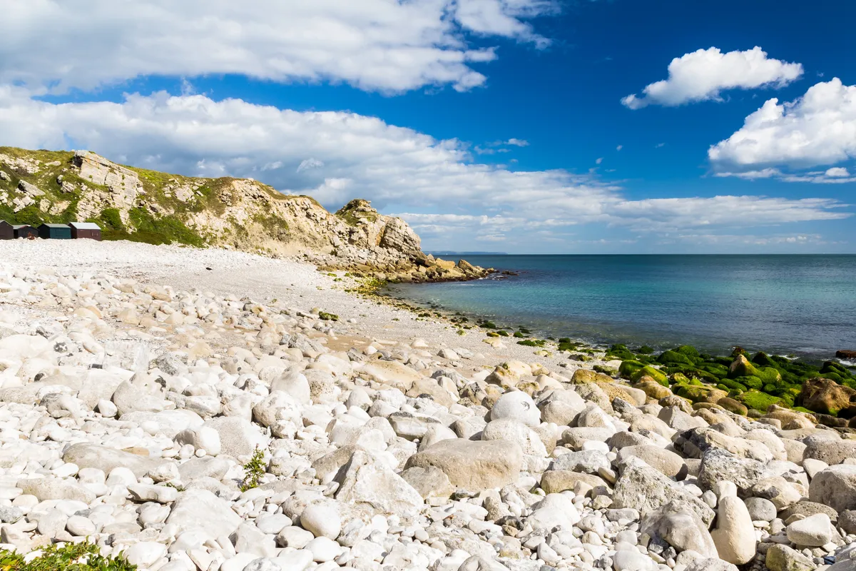
Route: once completed (2020), this coastal route around England will become the longest trail in Britain, and one of the longest in the world, covering an incredible 2,800 miles (4500km).
Landscape: coastal cliffs, beaches, seaside towns, tidal estuaries and salt marshes.
History: the trail was intended to be complete in 2020. At the time of writing, four sections of the trail have been officially completed:
- England Coast Path – North East
- England Coast Path – North West
- England Coast Path – South East
- England Coast Path – South West
Website: nationaltrail.co.uk/england-coast-path
Glyndŵr's Way, 135 miles (217km)
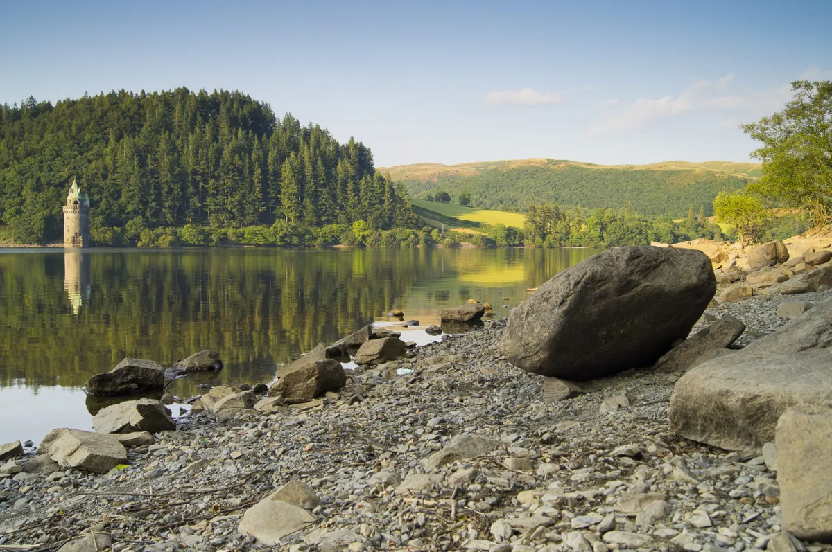
Route: this 135-mile route starts in the small market town of Knighton in Powys on the English-Welsh border. It first heads west, passing through Machynlleth before veering east through Powys to Welshpool a few miles from the border.
Landscape: open moorland, rolling farmland, woodland and forests.
History: the Trail is named after Owain Glyndŵr, Prince of Wales. The Welsh nationalist leader was responsible for a rebellion against England's Henry IV in 1400. The Glyndŵr's Way was designated as a National Trail in 2000.
Website: nationaltrail.co.uk/glyndwrs-way
Hadrian's Wall Path, 85 miles (137 km)
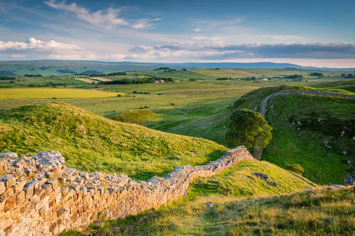
Route: Hadrian's Wall Path runs for 85 miles alongside this iconic defensive barrier built by Roman Emperor Hadrian. The coast-to-coast route is generally walked from east to west, starting at Wallsend on the east coast of Tyne and Wear and ending at the Solway Firth on the west Cumbrian coast.
Landscape: comprising Cumbria, Northumberland and Tyne and Wear, the path includes towns, rivers, estuaries, wild uplands and gentle pasturelands.
History: Hadrian's Wall was built by the Romans in the second century AD and stood as a defensive barrier for 300 years. Hadrian's Wall, and Antonine Wall – another Roman barrier built in Scotland – together form a World Heritage site. In 2003, Hadrian's Wall Path became a National Trail.
Website: nationaltrail.co.uk/hadrians-wall-path
North Downs Way, 153 miles (246km)
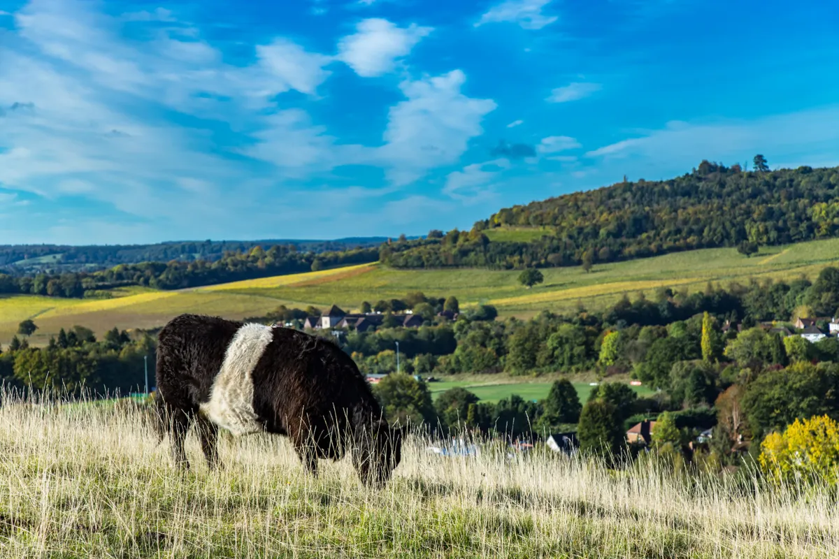
Route: this National Trail runs across the North Downs for 153 miles from Farnham in Surrey, through Guildford, Dorking and Rochester, to Dover on the south Kent coast.
Landscape: the trail winds through downland comprised of chalk-based soil and calcareous grassland, namely the Surrey Hills and Kent Downs AONBs. Boadleaf woodland and open pasture are a regular feature, as well as a number of villages and towns.
History: The North Downs Way National Trail, which follows the historic Pilgrims Way, opened in 1978.
Website: nationaltrail.co.uk/north-downs-way
Offa's Dyke Path, 177 miles (285 km)

Route: Offa’s Dyke Path runs for 177 miles (285 Km) from Sedbury Cliffs near Chepstow, along the English Welsh border to the seaside town of Prestatyn on Wales' north coast.
Landscape: the route navigates through valleys and along ridgelines, farmland and small settlements. Though the Offa’s Dyke Path runs for the entire length of the English-Welsh border, the great earthwork itself comes and goes. Sometimes it rears up through serene ancient woods, a defensive ditch and a steep bank up to 2.5m (8 ft) high. At others it peters out to nothing – just a line through a field.
History: the first record of Offa's Dyke comes from Alfred the Great’s biographer Asser who wrote (in the 890s, 100 years after the attributed date of construction) that King Offa had built a great dyke from sea to sea to divide Wales from his own kingdom of Mercia. While archaeologists dispute whether the dyke was ever completed, all built at once or even built by Offa at all, once you start walking along its more impressive sections, it’s clear that there once stood a truly extraordinary linear fortification to compare to Hadrian’s Wall.
Offa's Dyke Path became a National Trail in 1971.
Website: nationaltrail.co.uk/offas-dyke-path
Peddars Way and Norfolk Coast Path, 130 mile (208 km)
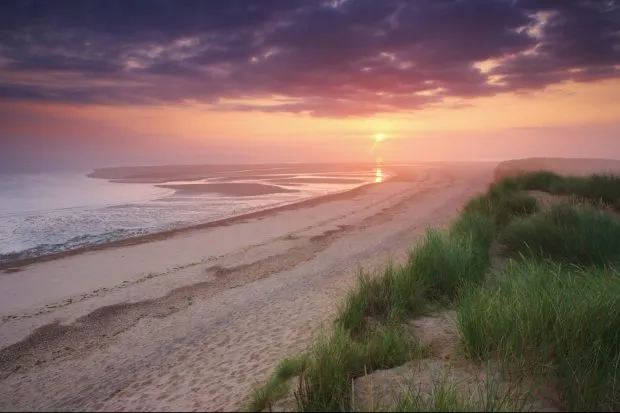
Route: this extremely flat route begins inland at Knettishall Heath in Suffolk, cutting an almost straight line to Holme-next-the-Sea on the Norfolk coast. It then veers south, passing through a number of medieval ports to reach Hopton-on-Sea.
Landscape: heathland, forest, low river valleys, farmland, beaches, sand dunes, salt marshes and nature reserves.
History: it is thought that Peddars derives from the Latin 'pedester', which translates to 'on foot'. The Peddars Way follows a Roman road. The Peddars Way and Norfolk Coast Path became a National Trail in 1986.
Website: nationaltrail.co.uk/peddars-way-and-norfolk-coast-path
Pembrokeshire Coast Path, 186 miles (299 km)
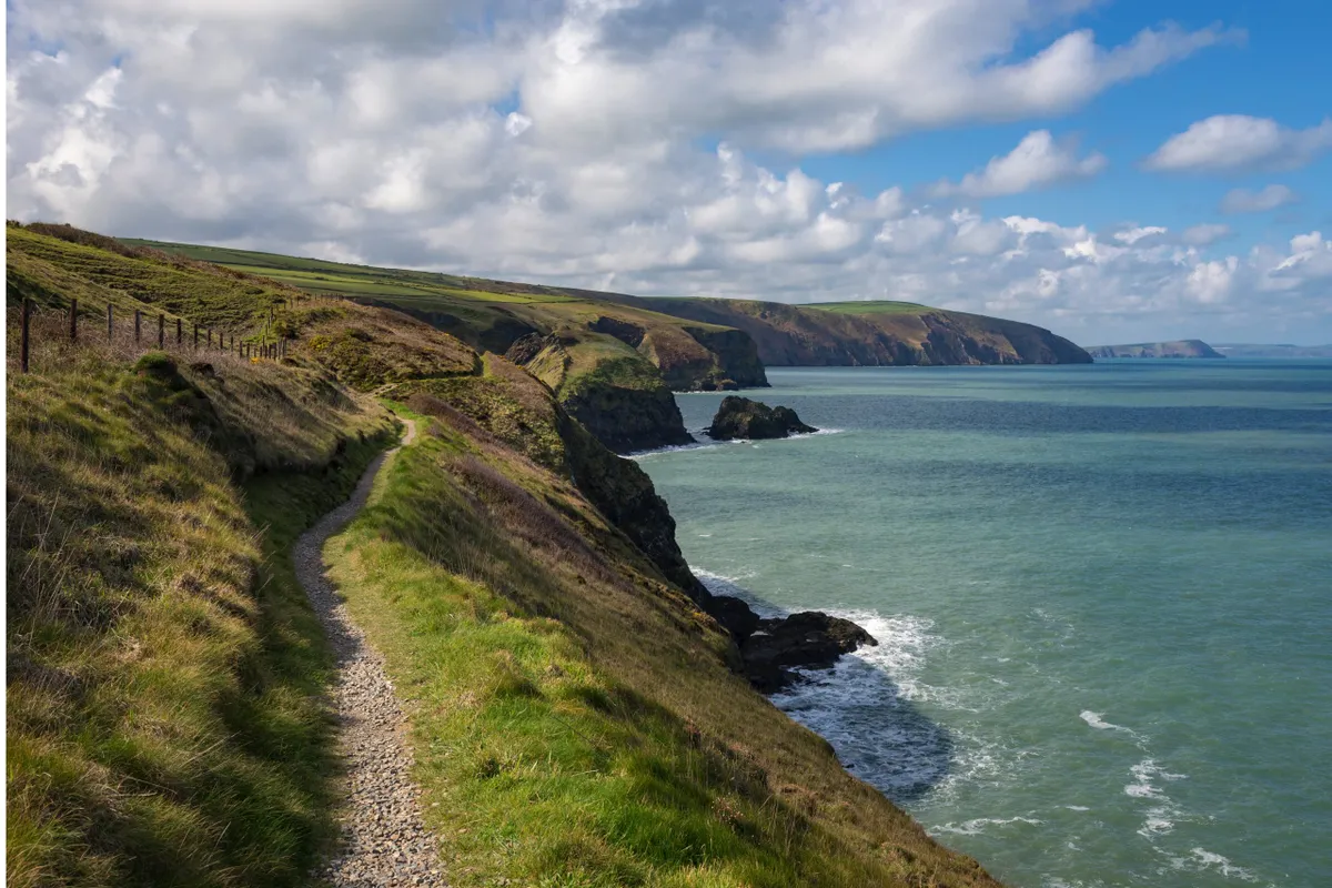
Route: this largely clifftop path has a total ascent of 11,000 m (35,000 feet ). Pen yr afr on Cemaes Head is the highest point on the path, standing 175 m above sea level.
Landscape: with sandy beaches, rolling clifftops, pretty fishing villages and stunning views, Wales' south-west shores are the perfect place to explore on foot.
History: the Pembrokeshire Coast National Park was established in 1952. Almost 20 years later, in 1970, the Pembrokeshire Coast Path became a National Trail.
Website: nationaltrail.co.uk/pembrokeshire-coast-path
Pennine Bridleway, 205 miles (330 Km)
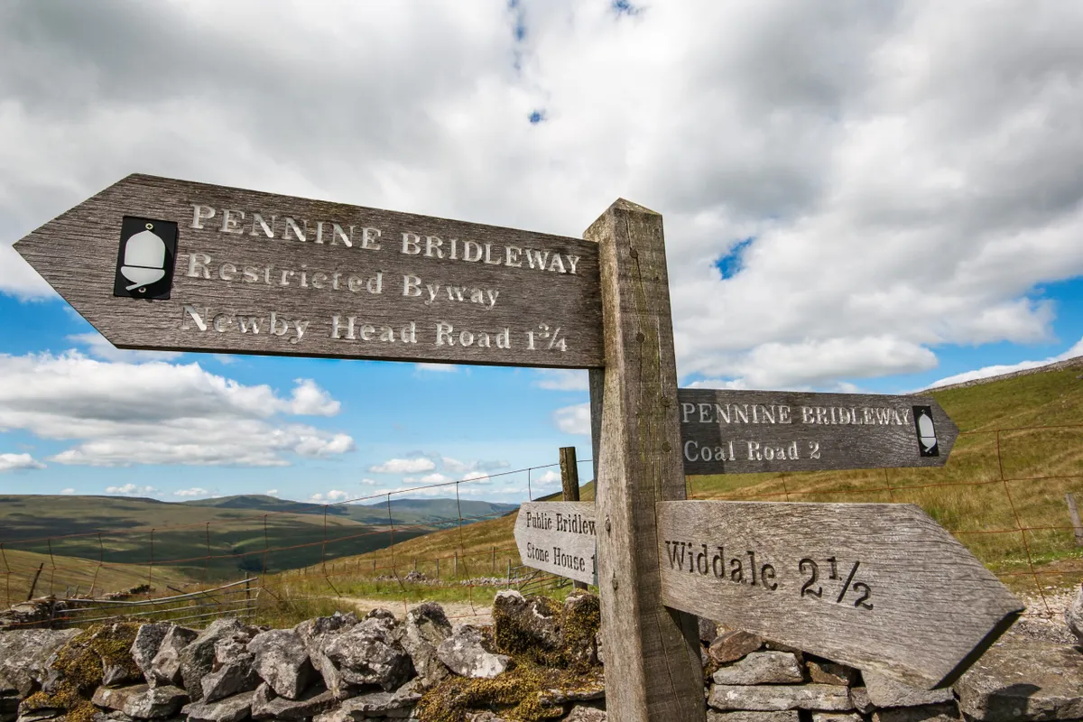
Route: designed specifically for horse riders and mountain bikes, the 205-mile-long (330 km) Pennine Bridleway follows ancient packhorse trails, drovers roads and bridleways through the Pennines.
Landscape: the Pennine Hills, spanning Derbyshire and Cumbria, form a dramatic landscape. The bridleway sticks generally to the valleys, on hillsides and across moorland.
History: the idea of the Pennine Bridleway was conceived by Mary Towneley who, in 1986, rode 250 miles on horseback from Corbridge in Northumberland to Ashbourne in Derbyshire. Following a route investigation, the path was finally approved as a National Trail in 1995.
Website: nationaltrail.co.uk/pennine-bridleway
Pennine Way, 268 mile (435km)
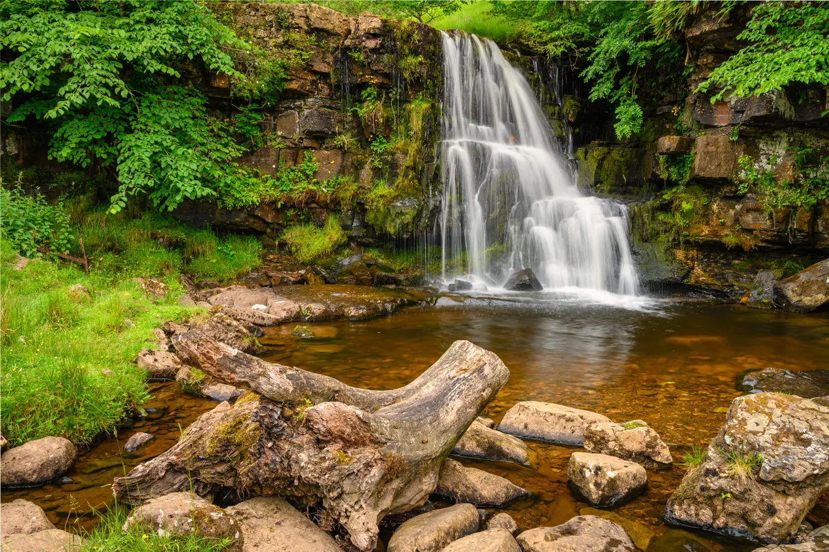
Route: this 268-mile route starts in the Peak District and heads north along the backbone of England – the Pennines – passing though the Yorkshire Dales and Northumberland National Park before reaching the Scottish Borders.
Landscape: not the longest route but arguably the toughest, the Pennine Way follows public footpaths through valleys and villages, over hills and mountains and across moorlands and bogs.
History: the Pennine Way is the oldest of England’s National Trails. After being proposed by journalist and hiker Tom Stephenson in an article for the Daily Herald in 1935, the final section of the Pennine Way was officially opened in 1965.
Website: nationaltrail.co.uk/pennine-way
The Ridgeway, 87 miles (139 km)
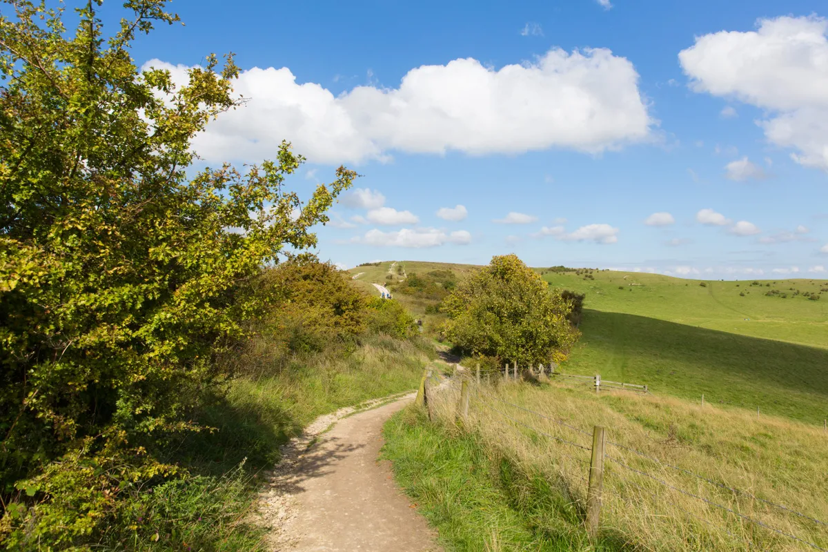
Route: the 87-mile-long Ridgeway National Trail connects Overton Hill near Avebury in Wiltshire to Ivinghoe Beacon in Buckinghamshire.
Landscape: the route comprises rolling chalk downland, villages and towns, and numerous archaeological sites – such as Neolithic long barrows, Bronze Age round barrows, Iron Age forts and chalk white horses.
History: the Ridgeway is thought to be Britain’s oldest road, once used by prehistoric travellers, herdsmen and soldiers. The route was designated as a National Trail in 1972.
Website: nationaltrail.co.uk/the-ridgeway
South Downs Way, 100 mile (160 km)
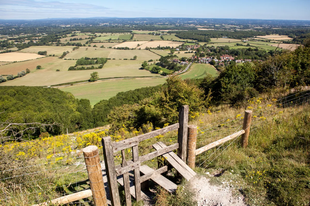
Route: the 100-mile-long South Downs Way stretches from Winchester in Hampshire to the coastal town of Eastbourne in East Sussex,
Landscape: traversing the South Downs, the route rambles over hills, through picturesque villages and past Bronze Age barrows, ramparts and iron Age hill forts. The trail has a total ascent and descent of 4,150m (13,620ft).
History: for more than 8,000 years, the paths of the South Downs have provided wayfarers with a drier and safer alternative to lowlands below. The South Downs Way was the fifth National Trail to be desingted in England and Wales and opened in July 1972.
Website: nationaltrail.co.uk/south-downs-way
South West Coast Path, 630 miles (1014km)
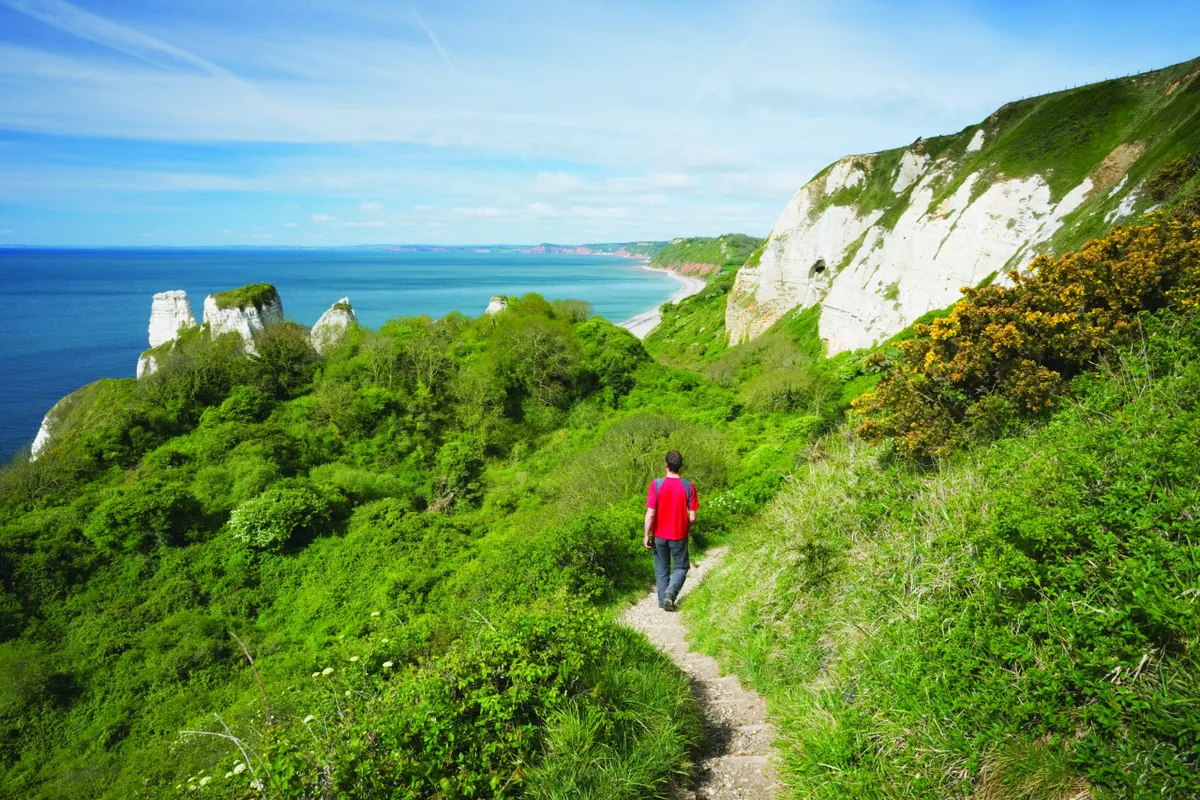
Route: the South West Coast Path is England’s longest waymarked footpath (until the completion of the England Coast Path). The trail navigates the coastline of England's four most south-westerly counties – Dorset, Cornwall, Devon and Somerset – beginning (for most) in Minehead and ending at Poole Harbour.
Landscape: despite there being no mountains on this long-distance coastal path, walkers who complete the entire route will clock up an incredible 35,000m of ascent thanks to its undulating coastline. Expect beaches, clifftops, seaside villages and estuary crossings.
History: in the 19th century, much of the coastline here was walked by coastguard patrol workers to restrict smuggling. The final section of the path became a National Trail in 1978.
Website: nationaltrail.co.uk/south-west-coast-path
Thames Path, 184 miles (294 km)
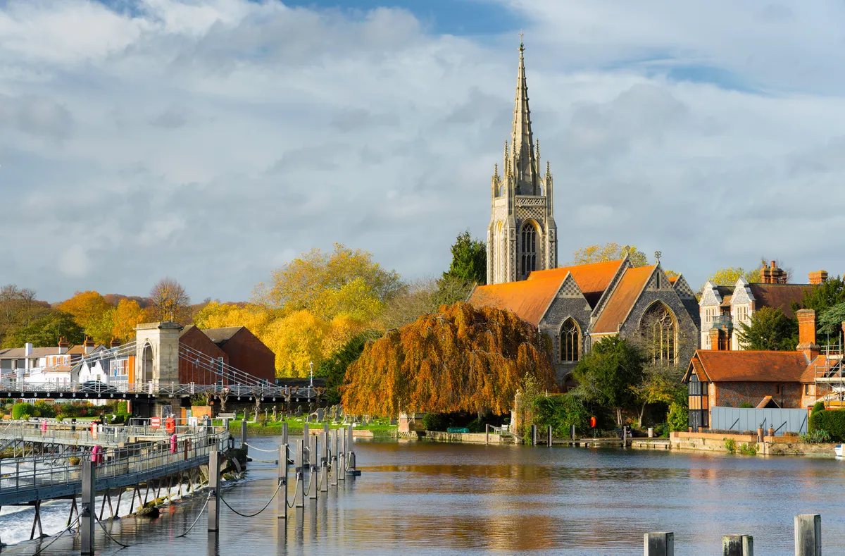
Route: tracing the UK's best-known river, this 184-mile trail begins at the source of the Thames in the Cotswolds, meandering east to the heart of London.
Landscape: the trail is almost completely flat (just 1,438m of ascent on the entire trail) and follows the riverbank through wildlife-rich meadows, rural villages and historical towns, culminating in an on-foot bisection of England's capital city.
History: the path became a National Trail in 1996.
Website: nationaltrail.co.uk/thames-path
Yorkshire Wolds Way, 79 miles (127 km)
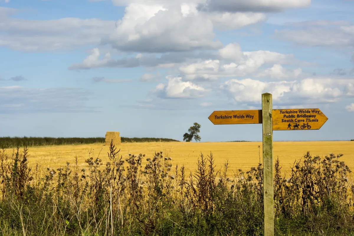
Route: the Yorkshire Wolds Way winds for 79 mile from the Humber estuary through the chalk hills of the Yorkshire Wolds and north to the Cleveland coast.
Landscape: riverside paths, wooded slopes, dry valleys, rolling hills and arable land.
History: The Yorkshire Wolds Way was officially opened as a National Trail in October 1982.
Website: nationaltrail.co.uk/yorkshire-wolds-way
Scotland's Great Trails
Scotland’s Great Trails are a series of 29 routes, each clearly waymarked, well-managed and largely off road, with good amenities and services en route. The trails are all at least 25 miles long and can be completed as a multi-day adventure or over the course of a number of visits.
List of Scotland's Great Trails
Scotland's Great Trails span the country, from the Scottish Borders in the south to the Highlands in the north. Here is a list of the 29 trails – to find out more, visit scotlandsgreattrails.com
Annandale Way
Arran Coastal Way
Ayrshire Coastal Path
Berwickshire Coastal Path
Borders Abbeys Way
Cateran Trail
Clyde Walkway
Cross Borders Drove Road
Dava Way
Fife Coastal Path
Formartine and Buchan Way
Forth & Clyde/Union Canal Towpath
Great Glen Canoe Trail
Great Glen Way
Great Trossachs Path
John Muir Way
Kintyre Way
Loch Lomond & Cowal Way
Moray Coast Trail
Mull of Galloway Trail
River Ayr Way
Rob Roy Way
Romans and Reivers Route
Southern Upland Way
Speyside Way
St Cuthbert’s Way
Three Lochs Way
West Highland Way
West Island Way