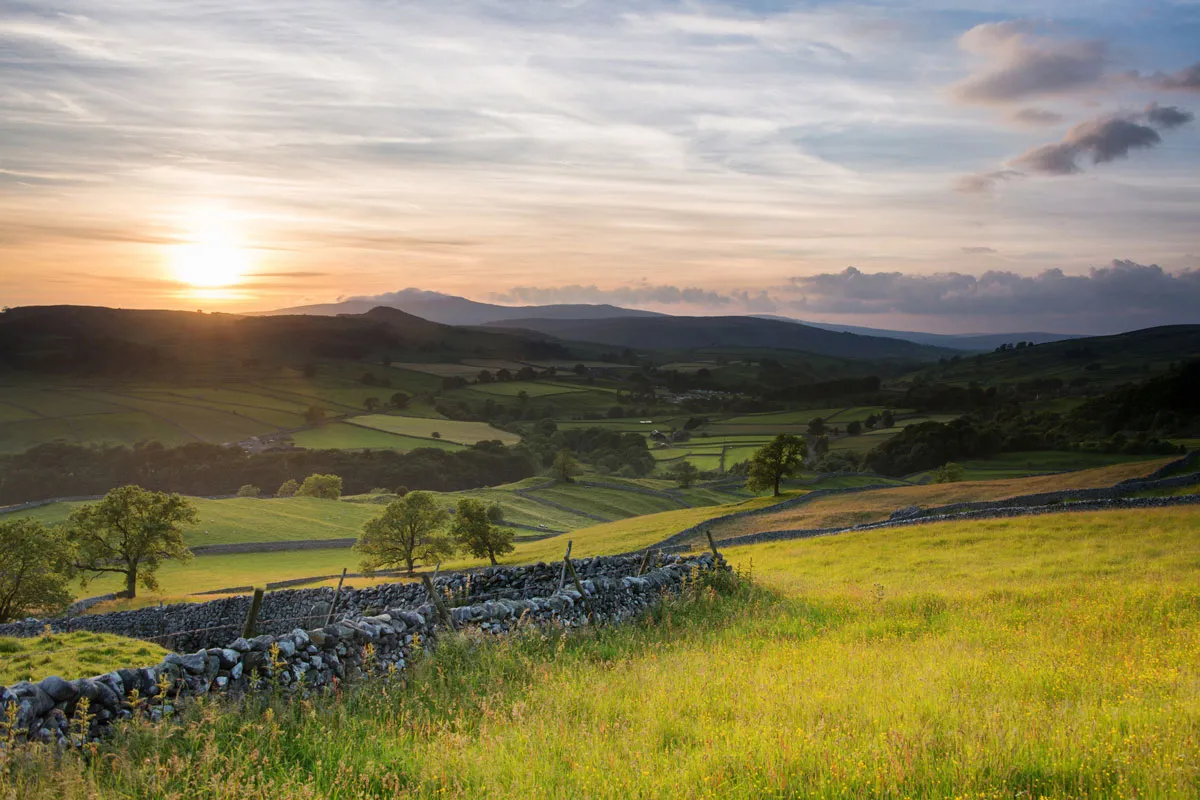
The Lake District National Park was established among the first wave of parks designated in 1951 – the Yorkshire Dales National Park followed in 1954.
The omission of the areas covered by the new extensions was questioned at the time, but the powers-that-be concluded that the busy A6 trunk road formed a natural eastern boundary to the Lake District (the M6 hadn’t been built) and that local administrative boundaries needed
to be respected.
The boundaries were reviewed in 1972, when the Sandford Committee clarified the rationale for the national parks, but the original boundaries remained unchanged.
Over the next three decades, some of valleys were threatened with damming,
and the hilltops with windfarms. Local conservation groups relaunched their campaign to secure greater protection in 2005, with the publication of a landmark report, ‘Cumbria’s Forgotten Landscapes’. Natural England was persuaded to support an extension of the National Parks and launched a consultation process in 2010.
Amid opposition from five local authorities and some residents citing concerns about increased bureaucracy and restrictions on development, a public inquiry was held in 2013. In his report, inquiry inspector Roy Foster concluded that the original reasons for excluding the new areas were now largely irrelevant and that they would be more effectively managed by the respective National Park Authorities alongside the landscapes for which they are already responsible.
Former Secretary of State for Environment Liz Truss confirmed the extension in October and they will come into effect
on 1 August, 2016. The park authorities are now planning to improve recreational access to the landscape and boost tourism in the areas.
Lake District National Park

Where: Cumbria
Created: 1951
Area: 885 sq miles
Area of extension 27 sq miles
New total area: 912 sq miles
Population: 41,000
Annual visitors: 16.4 million
High point: Scafell Pike 978m (3,209ft)
Open access: 825 sq miles
Yorkshire Dales National Park

Where: North Yorkshire, Cumbria and Lancashire
Created: 1954
Area: 680 sq miles
Area of extension: 161 sq miles
New total area: 841 sq miles
Population: 24,000
Annual visitors: 9.5 million
High point: Whernside 736m (2,415ft)
Open access: 385 sq miles
Main image: Mark Appleton
