With this bank holiday weekend set to be a scorcher, get on your bike to explore the countryside and enjoy some of the best food and drink.
Here is our expert guide by cycling charity Sustrans on selection of the best off-road bike rides along the National Cycle Network to top foodie destinations in Britain.
Crab and Winkle Way
- Distance: 7 miles
- Start: Canterbury
- End: Whitstable
The Crab and Winkle Way takes you from the cathedral city of Canterbury to the harbour in Whitstable. Starting in Canterbury, there’s a 200 foot climb out of the city leading up to the University of Kent. From here, you’ll follow the old railway line until you reach Clowes Wood, a prime picnic spot where you can see nightingales and visit the Winding Pond, which once supplied water to the engine that helped haul train carriages up the steep hill to the coast.
On the way you also travel through Blean Woods, one of the largest areas of ancient broadleaved woodland in southern Britain, where you can find the rare heath fritillary butterfly. From here, it’s a long gentle descent down to the coast, making for a relaxed and easy ride to Whitstable.
After reaching the harbour, you can enjoy the seaside town’s weatherboard cottages and stroll down Squeeze Gut Alley before sampling its world renowned oysters. If you don't feel up to the ride back, you can get the train from Whitstable to Canterbury East station, changing at Faversham. www.sustrans.org.uk/ncn/map/route/crab-winkle-way
Aire Valley Towpath
- Distance: 17 miles
- Start: Leeds
- End: Bingley
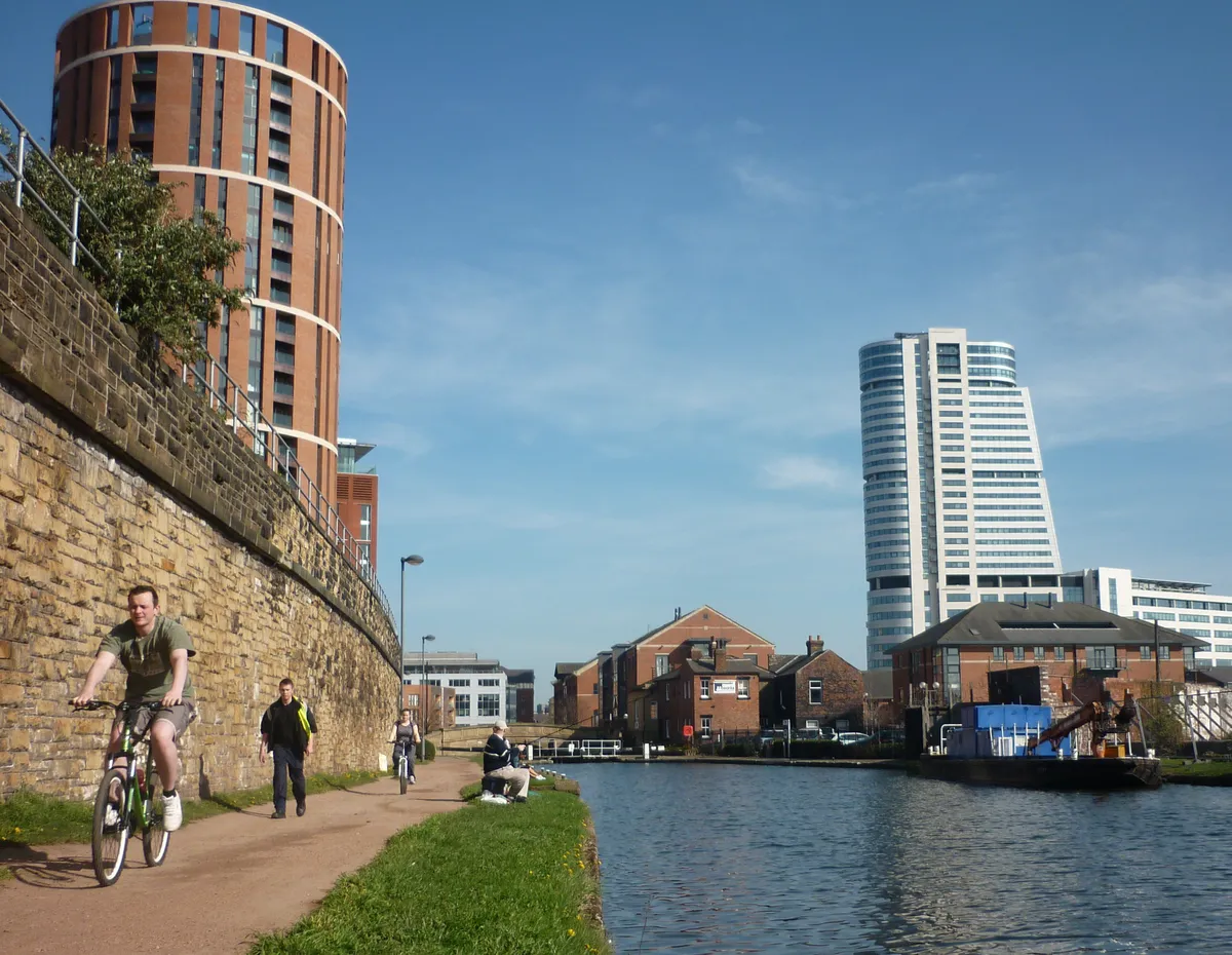
Looking for a day that takes in beautiful countryside, rich industrial history, stunning scenery, galleries, shops, museums, the longest canal in the country and even a World Heritage Site? Then the Aire Valley Towpath is the route for you. This ride takes you on a peaceful journey through Leeds and out past Kirkstall Abbey and Bramley Fall, onto Calverley Woods, Buck Wood at Thackley, and the Three and Five Rise Locks at Bingley.

The highlight of the route is Saltaire, a UNESCO World Heritage Site. It has amazing architecture, galleries and antique shops, and as luck would have it, an award-winning brewery, where a pint of Cascadian Black comes highly recommended. www.sustrans.org.uk/ncn/map/route/aire-valley-towpath
Swansea Bike Path
- Distance: 6 miles
- Start: Swansea Marina
- End: Mumbles
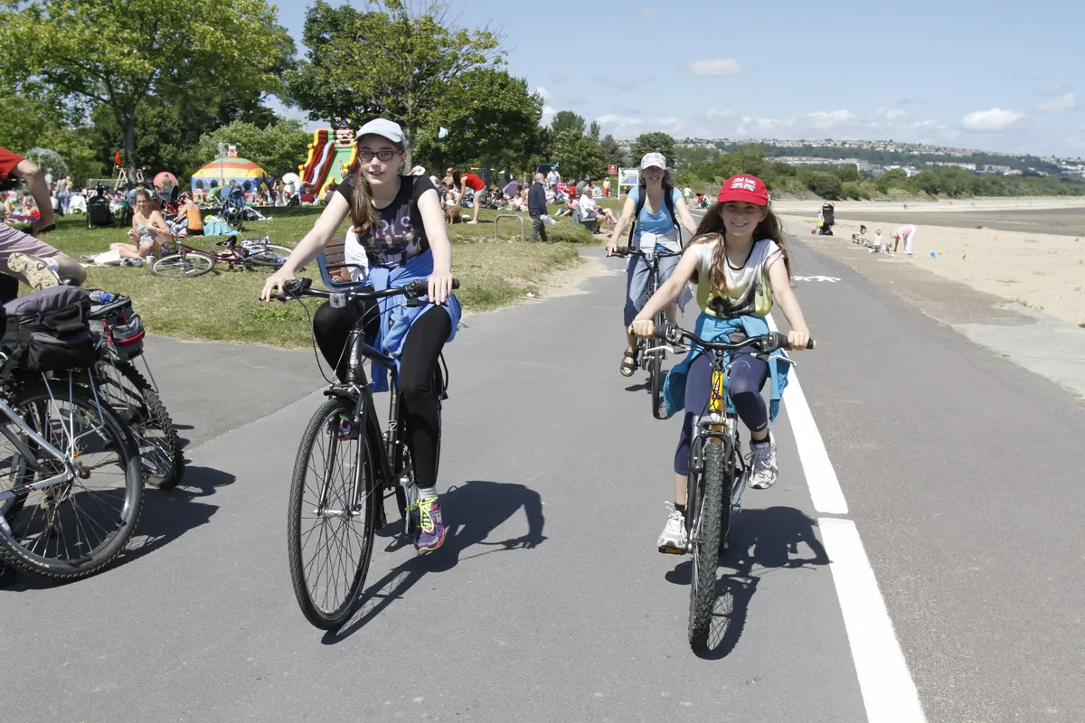
Running along the line of the old Mumbles tramway that carried the world’s very first railway passengers, the Swansea Bike Path is a brilliant family route that hugs the coastline for the entire stretch between the observatory and Mumbles town centre.

Before heading off from Swansea Marina, make sure you visit Wale’s largest indoor market. Here you can sample amazing freshly baked welsh cakes and some other traditional Welsh dishes, including spicy bara brith and laverbread which make for the perfect mid-ride snack.
To extend your adventure follow National Route 4 westward to Gowerton through Clyne Valley Country Park, a pretty woodland path where you can join the Millennium Coastal Path and follow the route to Kidwelly. The full ride from Swansea to Kidwelly is about 24 miles and apart from a short section in Gowerton, is entirely traffic-free and family friendly. A fantastic day out this bank holiday weekend. www.sustrans.org.uk/ncn/map/route/swansea-bike-path
Union Canal
- Distance: 30 miles
- Start: Edinburgh
- End: Falkirk
If you love a Sunday roast but aren’t a fan of cooking, then why not take a trip down Edinburgh canal to the Bridge Inn this Easter Sunday. The staff of this community pub prepare their own home-grown vegetables and home-bred pork, and you’ll have certainly worked up an appetite after the eight mile cycle ride from the centre.

From the pub, the canal between Ratho and Linlithgow is tucked away and offers a great get-away-from-it-all feel. Numerous bridges, impressive aqueducts and the pretty Linlithgow canal basin are highlights on this 13-mile section. At Linlithgow, you’ll also find a great museum and tearoom at the canal basin. From here, its 11-miles onto Falkirk wheel, following a route through a mixture of open countryside and settlements, over aqueducts and through tunnels. www.sustrans.org.uk/ncn/map/route/union-canal
Souter to St Mary’s
- Distance: 11 miles
- Start: Souter Lighthouse
- End: St Mary’s Lighthouse
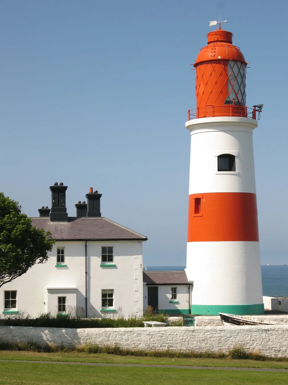
Follow the age old tradition of eating fish on Good Friday by heading down to your local chippy. Riley’s Fish Shack is one of the best places to grab fish in the North East and is on the lovely 11-mile coastal route from Souter to St Mary’s. Its relaxed vibes, delicious charcoal fired seafood and beach shack location, makes this an eating experience not to be missed.

Beginning at Souter Lighthouse, you will pass the 'Old Buoys' artwork which celebrates the confluence of three National Cycle Network routes - 1, 10 and 72. Along the way you’ll also see Tynemouth Priory, which is located on a rocky headland, overlooking Tynemouth Pier before reaching St Mary’s Lighthouse. This is situated on St Mary's Island, which is linked to the mainland by a concrete causeway - easily accessible when the tide is out. The lighthouse is no longer operational but now features a small museum, café and a visitor's centre. www.sustrans.org.uk/ncn/map/route/souter-to-st-marys
About Sustrans
UK walking and cycling charity Sustrans is custodian of the National Cycle Network – a network of traffic-free paths and quiet on-road cycling and walking routes.