Here is our guide to a selection of the UK's best art trails to explore by bike along the National Cycling Network.
Water Railway, Lincoln to Boston
- Distance: 15.5 miles
- Terrain: Flat and predominantly traffic-free
Following the route of the former Lincoln to Boston Railway Line, this route leaves Lincoln alongside the River Witham and passes Washingborough, Bardney and Southrey on the way to Kirkstead Bridge. Here, you can take roads into the village of Woodhall Spa or continue on the Water Rail Way to Langrick Bridge and Boston.
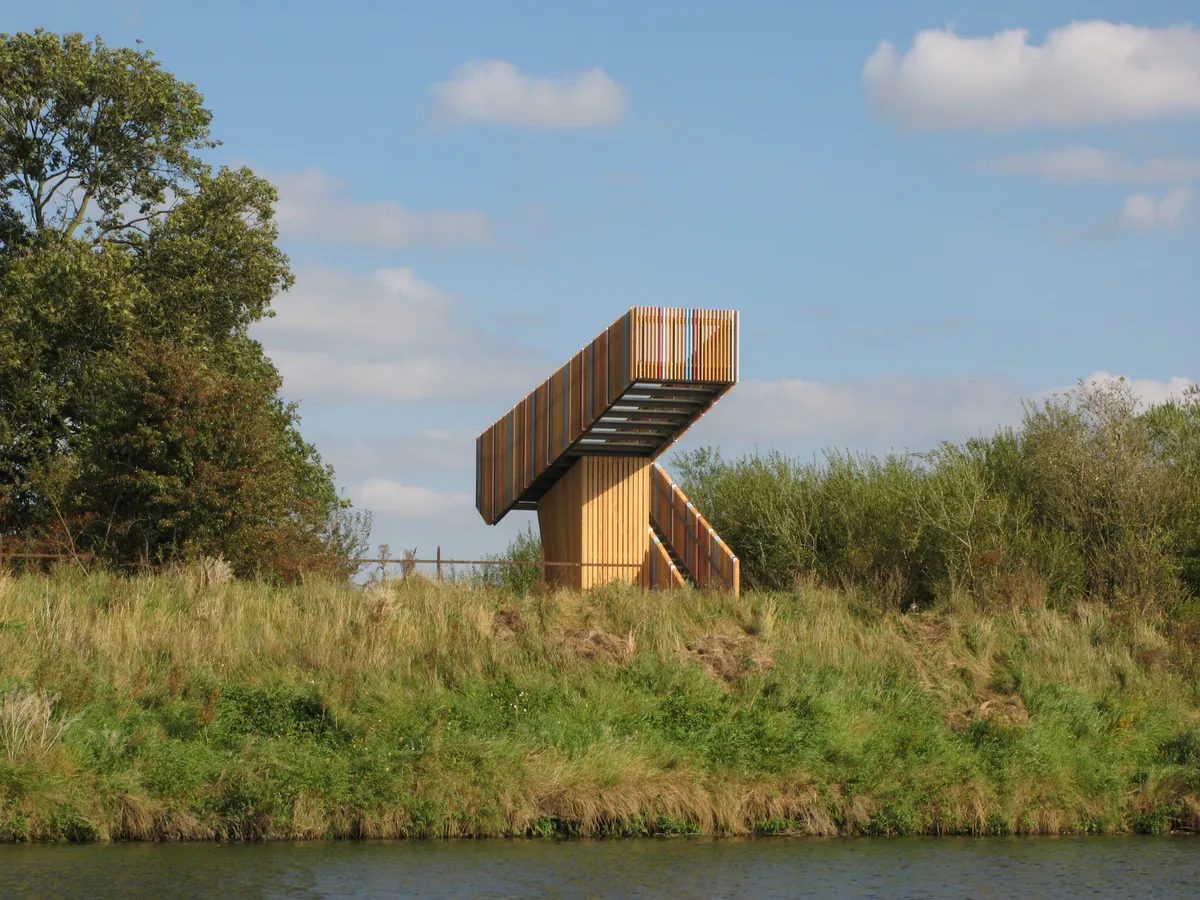
The Water Rail Way passes through vast fenland landscapes with long views and expansive skies. The route also features a sculpture trail commissioned by Sustrans which includes artworks inspired by the poetry of Alfred, Lord Tennyson, the local environment and animal breeds. Make sure you keep an eye out for Sally Matthews 'Lincoln Reds' and 'Lincoln Longwool Sheep' and a viewing platforms designed by Belgian architects Robbrecht en Daem.
Bristol and Bath Railway Path, Bristol to Bath
- Distance: 13 miles
- Terrain: Disused railway path, traffic-free and flat tarmac surfaces
The Bristol and Bath Railway Path is one of the UK’s finest cycling and walking routes and the first route built by Sustrans, following a disused railway path into the beautiful Avon Valley.
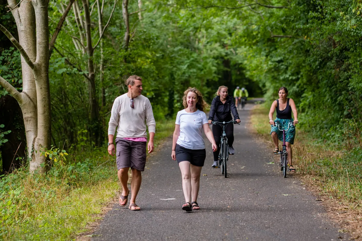
Beginning in the historic port of Bristol you pass by Mangotsfield, Bitton, Warmley and Saltford before arriving in the heart of Bath. Along the way you pass though Staple Hill tunnel and can view a variety of sculptures, including a stone drinking fountain by Gordon Young which represents a thirsty Roman legionnaire, as well as a signal box café at Warmley and working steam engines at the old train station at Bitton.
Once in Bath, you can take in the cities remarkable history by visiting the Roman Baths, Jane Austen Museum and botanical gardens. It’s also easy to jump on the train back to Bristol if your legs are too tired for the cycle back.
Tarka Trail, Braunton to Meeth
- Distance: 30 miles
- Terrain: The first half of the route (Ilfracombe to Braunton) is hilly. From Braunton it’s relatively flat.
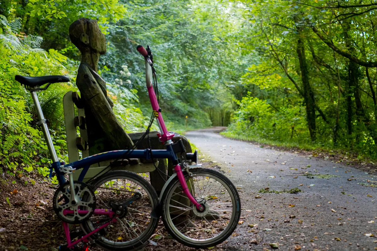
The Tarka Trail is a wonderful route for art lovers, with 30 delightful, functional artworks designed and created by eight local and regional artists to look out for as you travel through estuary mudflats and salt marshes, oak woodland, hazel coppice and meadows.
Beginning in the pretty village of Braunton, the route continues along the banks of the River Taw, passing through Chivenor and crossing the tributary river Yeo on the new swing bridge at Barnstaple. A detour into Barnstaple town centre, where you can take in the Pannier Market and the Museum of Barnstaple and North Devon, is worthwhile. The route then takes you up the Torridge Estuary, passing Instow and Bideford.
You can either leave the Tarka Trail on the line of the old tramway route and finish in the beautiful town of Great Torrington or continue on the route across the river on the railway to a stop at Yarde Orchard or to where the path currently ends at Meeth. If travelling onto Meeth, it’s worth visiting the Peters Marland area on route where Katy Hallett has developed a series of animal seats.
Bliss Trail, Strathyre to Lochearnhead
- Distance: 5 miles from Strathyre to Lochearnhead via NCN7 known as route 7. Or 17 miles if you’d like to take in all four villages.
- Terrain: Mostly traffic-free, tarmacked and sealed surfaces with some quiet on-road sections. Some steep gradients, particularly at the Locheanhead zig-zags.
The BLiSS trail (which stands for Balquhidder, Lochearnhead, Strathyre and St Fillans) links up to 25 sculptures, architectural installations and fun ornamental features in four villages.
This route starts at Strathyre and finishes at Lochearnhead, with options to go on to St Fillans via quiet road on South bank of Loch Earn and Balquhuidder via quiet road to Kingshouse.
Starting at the Broch Café, a cycle and walking-friendly food spot in Strathyre, travel North along the traffic-free path through the village to the Drover’s Bho. This is a Sustrans funded sculpture which features a small cow to represent the Drover’s route through the village and where the herders would stop for a well-earned drink.
Continue along past the horses and through the beautiful valley to Kingshouse where you can stop for a well-deserved drink or lunch at Mohr 84. There is an option to go to Balquhidder along a quiet road to see more artwork and also visit the grave of Rob Roy. From Kingshouse the route continues up through old woodlands towards Lochearnhead where you can pop into the village before you go under the bridge and see artworks including Ewen the Westie.
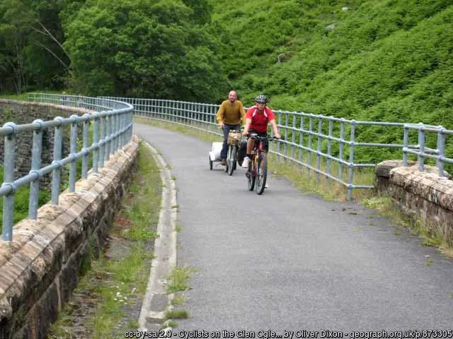
Back on the Netwok, the path winds up the hill in a steep zig-zag with breath-taking views of Loch Earn. Beyond Lochearnhead you can cycle across the great Glenogle Viaduct which has spectacular views across the valley.
The Phoenix Trail, Princes Risborough to Thame
- Distance: 15 miles out and back
- Terrain: Mostly flat. Part tarmac, part limestone dust
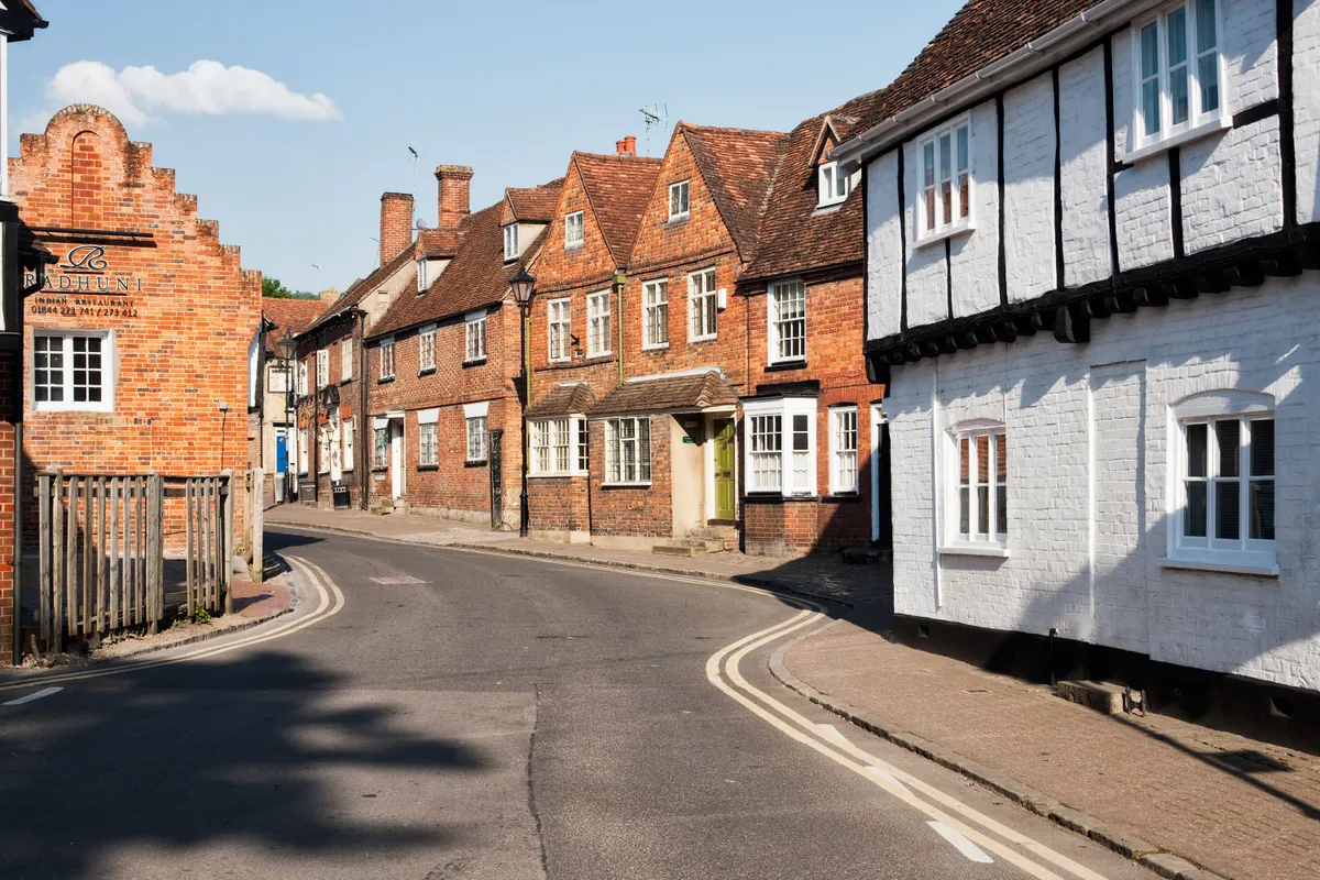
This quiet traffic-free ride takes you between the attractive market towns of Princes Risborough and Thame comprises a series of 30 artworks inspired by the old railway environment and the landscape looking out to the Chiltern Hills. From Princes Risborough station, follow National Route 57 signs along local roads and a byway which crosses the heritage railway to Chinnor for a couple of miles to the start of the trail. If you’re a fan of the detective series ‘Midsomer Murders’, you may recognise some of Thame’s popular landmarks, including Thame Town Hall, the Market House, Rumsey’s Chocolaterie and the Black Horse.
Three Parks Trail, Sirhowy Valley Country Park to Taff Bargoed
- Distance: 13 miles
- Terrain: Mix of tarmac and gravel path
This easy, traffic-free ride takes in three of Wales’ most beautiful parks. Starting from the Sirhowy Valley Country Park near Crosskeys, the route takes you over Hengoed’s impressive 16 arch listed viaduct. Don’t forget to look out for ‘The Wheel of Drams’ on your way – an eight metre high artwork and well known landmark that represents an industrial age gone by.
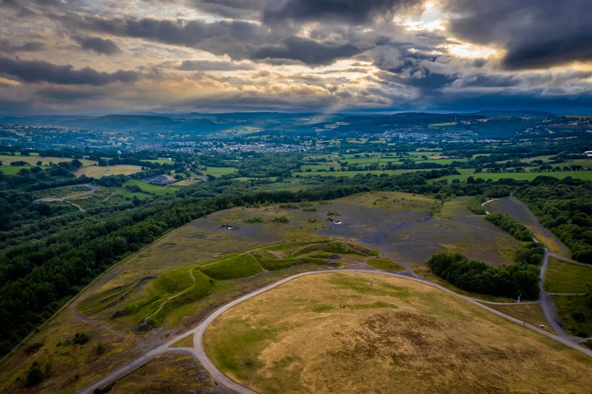
Continuing along the valley, the route passes through Parc Penallta, carved from a former coal pit and from the High Point Observatory you can enjoy spectacular views across Caerphilly county borough. Look out for Sultan the Pit Pony, the UK’s largest figurative earth sculpture. From here travel to Trelewis, where you leave National Route 47 and follow National Route 476 to Parc Taf Bargoed, formally a large coal mining area. The once black river is now a haven for dippers and wagtails and the green river banks provide the perfect picnicking spot. The route ends at Rock UK climbing centre or alternatively you can follow National Route 47 to Quakers Yard which joins up with the Taff Trail and provides access to railway stations to Cardiff
East Coast Mainline railway, York to Selby
- Distance: 14 miles
- Terrain: Mix of traffic-free and on-road
This route uses the trackbed of the old East Coast Mainline railway, travelling through York all the way to Selby.
York has many attractions including York Minster, the Jorvik Viking Centre, and the Treasurer’s House, but this cycle route will take you out of the city on a riverside path alongside Rowntree Park. After passing Knavesmire Wood and through York racecourse, the route turns left onto the railway path that stretches almost all the way to Riccall. From Riccall you cycle on a mixture of back roads and a path alongside the A19 to Selby.
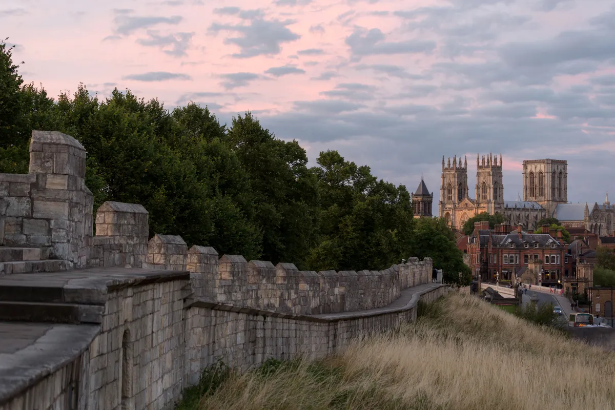
Along the way, you can see the ‘Cycle the Solar System’ artwork commissioned by Sustrans. Three scientists from the University of York constructed the 10.4 km scale model of the solar system between Bishopthorpe and Riccall. Along the path, there are scale models of the planets, the correct distance (proportionally) from the Sun and from each other.
About Sustrans
UK walking and cycling charity Sustrans is custodian of the National Cycle Network – a network of traffic-free paths and quiet on-road cycling and walking routes. For more route inspiration please visit: www.sustrans.org.uk/everydayadventures