Peter Pan would feel right at home on the Channel Islands. This lush archipelago is made up of eight permanently inhabited islands - the largest is Jersey, followed by Guernsey, Alderney, Sark, Brecqhou (Brechou), Herm and Jethou (population three) - as well as uninhabited islets, and these gems look especially fairytale-like from the air, surrounded by aquamarine water. They may be part of the British Isles, and have the Queen as their sovereign, but they are not part of the UK - French and English are both official languages here. Planning to explore them?
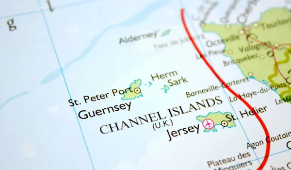
Our Channel Islands travel guide to what to do on the archipelago includes our highlights for each island.
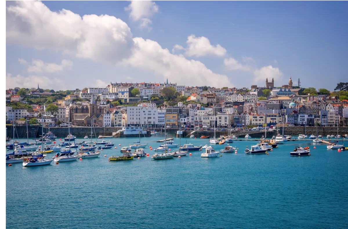
Guernsey: coastal views and ancient places
You don’t have to go far from the bustle of Guernsey’s capital St Peter Port before you’re in a landscape of cliffs and headlands. Here the narrow country lanes are edged with traditional hedgerows – part granite, part earth, held together with cropped gorse and surreally punctuated with subtropical plants such as tall cabbage palms. The roads make a series of right-angled turns as the old hedgerows find their way through the island’s ancient strip-farming plots.
While the hedges date back some 400 years, there are signs everywhere of much earlier, prehistoric life on Guernsey. Perhaps the most impressive of these ancient places is Le Dehus, a Neolithic passage grave with a surprisingly spacious interior (at least, spacious as far as passage graves go). While you’re in here, look up at the ceiling, where you’ll find a human face carved into the rock, as well as a bow and arrow.
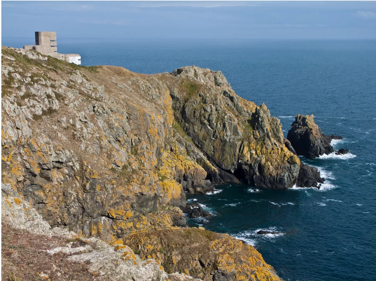
During the Second World War, Guernsey, like the rest of the Channel Islands, was evacuated, and invaded by the Germans. The islands thus earned the unhappy distinction of being the only part of the British Isles to have been occupied by German forces during the war. Hitler fortified the islands out of all proportion to their size and strategic importance, building a vast number of bunkers, gun emplacements and anti-tank walls, many of which remain, including the five-storey Pleinmont Observation Tower.
A short walk north along the coast path brings you views of tiny Lihou, to the western tip of Guernsey. The island can be reached at low tide via a causeway, rather like a miniature Lindisfarne. The surrounding area is a Ramsar site, which recognises wetlands of international importance where you may see common ringed plovers, peregrine falcons and sea storksbill. The organised rockpooling days here in summer are fascinating for grown-ups and kids alike.
To watch the sun set on Guernsey, head for the beaches on the island’s northwest coast, in particular Vazon Bay and Cobo Bay. The latter also has one of the island’s best pubs, The Rockmount. Turn up here on a Friday evening and you’ll hear a good pattering of Guernésiais – the old Norman language still spoken by a few people on the island, or ‘patois’ as locals call it. One of the reasons Channel Islands languages are not spoken more widely today is that during the occupation, a whole generation of Channel Islands children spent the war years living in England and returned having largely forgotten how to speak them.
The southern coast is completely different in character, a series of spectacular cliffs and headlands, including Jerbourg Point’s fantastic view over to the Normandy coast.
Sark: Sea birds and starry skies
Nine miles east of Guernsey lies the beautifully wild island of Sark. Its coast is a succession of cliffs riddled with sea caves, its upper plateau a patchwork of farmland surrounding the main settlement, known simply as The Village. There’s no airport, but ferries make the crossing from St Peter Port – unless the weather turns rough, in which case the island is effectively cut off, as I experienced on my most recent visit. Transport around the island is by bike, by horse and carriage, or on your own two feet.
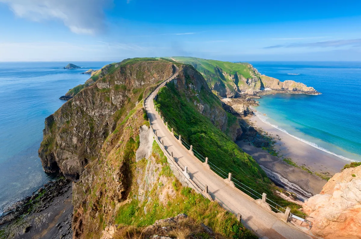
It’s here on Sark that you’ll find what is arguably the most dramatic spot on the Channel Islands – La Coupée, a narrow causeway 90m long, with a drop of about 100m on either side. These days, there are railings but that wasn’t always the case, and the story goes that children used to crawl across to avoid being blown off by the wind.
On Sark you leave many of the trapping of modern life behind. There are no cars and, with no street lamps, the night skies sparkle with bright stars. Thanks to its exceptionally low levels of light pollution, Sark was named a ‘Dark Sky Community’ in 2011, becoming the first island in the world to be recognised by the International Dark Sky Association.
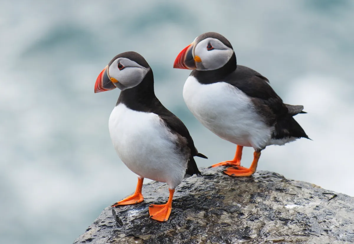
Sark’s Gouliot headland is also a wetland designated of international importance, and to the south the tiny islet of L'Etac is home to masses of seabirds, including razorbills, puffins and guillemots. (In contrast, Gouliot also offers views of the little island of Brecqhou, fiefdom of the Barclay brothers, the reclusive billionaire owners of the Telegraph Group.)
Alderney: Wild seas and wildflowers
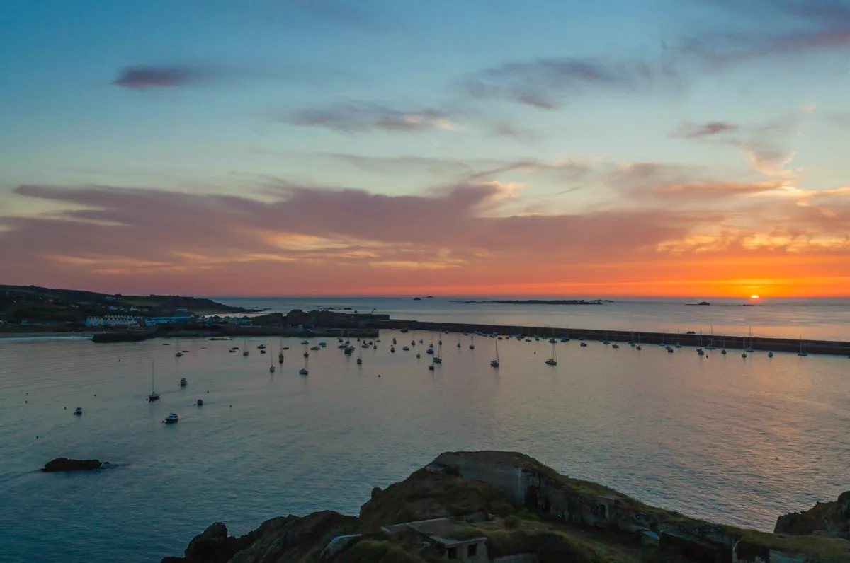
The wildest, least manicured of the inhabited Channel Islands is Alderney. Its rugged western shore lies exposed to the full force of the Atlantic. The waves of a fully fledged storm hitting the stout Victorian breakwater of its main settlement, St Anne, are by all accounts a sobering sight.
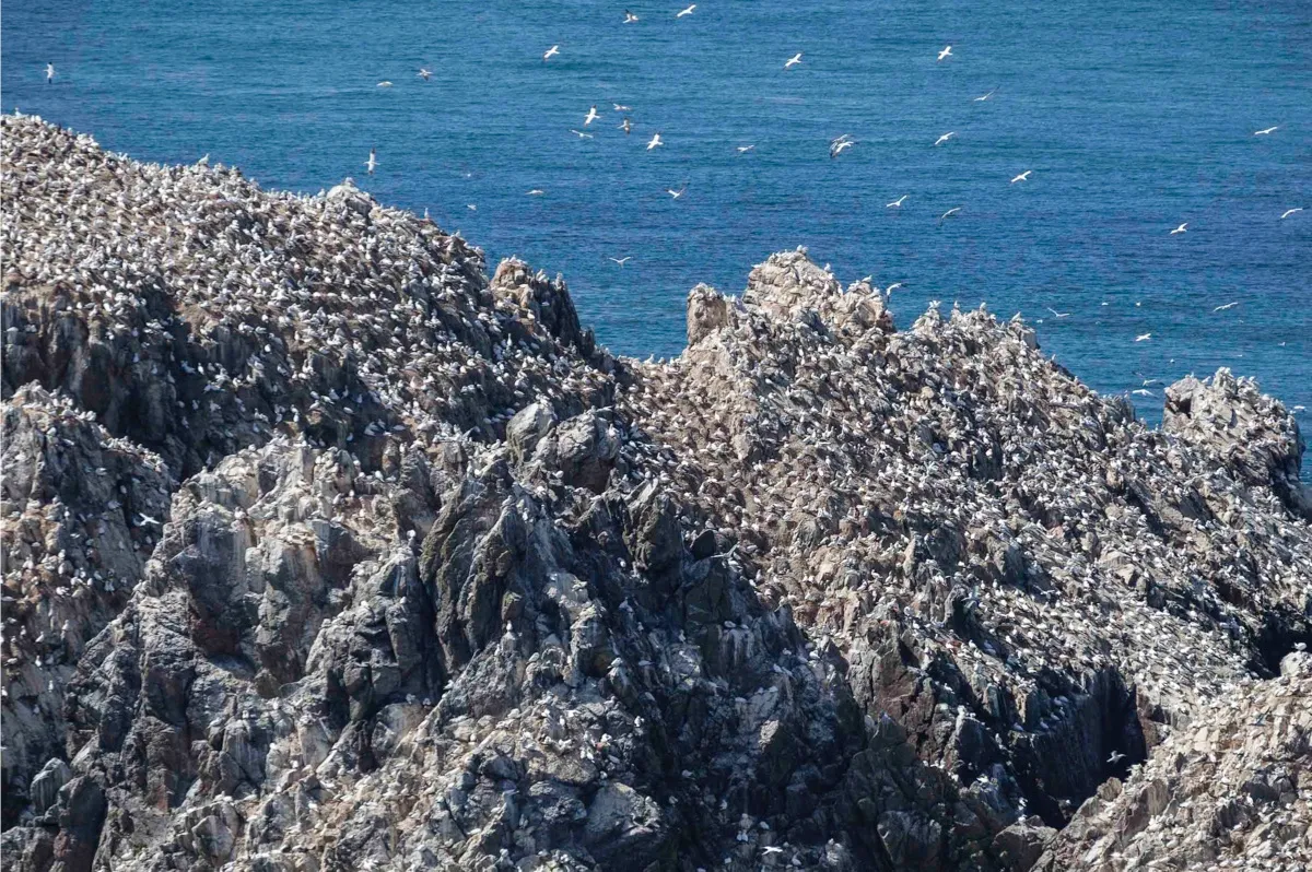
Although tiny, Alderney has some 850 to 900 species of wildflower – one of the richest concentrations of flora anywhere in the British Isles. It’s also a place to see puffins, grey seals, northern gannets, storm petrels and more. To the west, a great swathe of heathland hugs the coast; a few hundred metres beyond its shores lie the islets known as Les Etacs, with their enormous gannet colony. Flung off the northwest coast of Alderney, and surrounded by an armada of spiky black rocks poking out above the sea, is Burhou, home to a puffin colony in the summer and a wealth of other birdlife.
Among the narrow streets of Alderney’s main town – St Anne, population 2,000 – is its disproportionately grand parish church, built by none other than the great Victorian architect Sir George Gilbert Scott. The church owes its size to the date it was built – 1850, a time when the island was doing rather well for itself from privateering, that lucrative business in which the government licensed private individuals to attack foreign vessels during wartime. At that time, Alderney had a garrison of some 17,000 troops. The church has the distinction of having 12 bells, and some particularly fine stained glass.
A nice story attaches to the 17th-century Bible in the church. When the island was evacuated ahead of the German occupation in 1940, the Bible was left behind – and the new German chaplain, recognising its worth, took it back to Germany. After his death, his wife took it upon herself to return the Bible to its home – and she arrived unannounced on the island with the precious book in 1998.
Herm: silver sands and a friendly Mermaid
The little island of Herm is only a mile and a half long and half a mile wide. The best way to explore it is to follow the coastal path, which makes an easy circuit of the island. The walk follows a broad track from the ferry dock up the west coast, while the return down the east coast is a wildly beautiful cliff path, with great views of Sark. This is just one of many footpaths on the Channel Islands, several of which can be linked to form the Channel Island Way, a 115-mile route around the coasts of Jersey, Guernsey, Sark, Herm and Alderney.
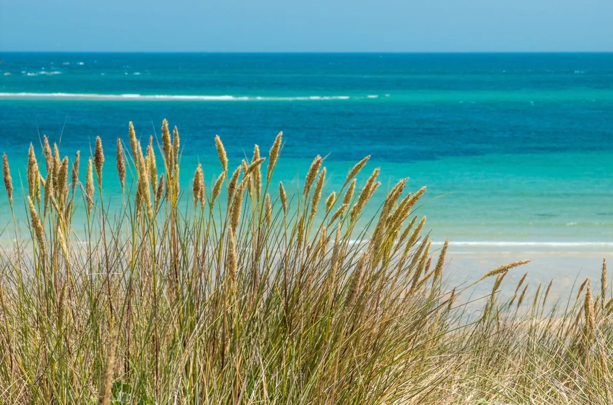
From a low hill studded with granite boulders, I look out over the level moorland at the northern tip of Herm. It’s an extraordinarily lovely spot, edged with dunes and the magnificent stretch of pale golden sand that is Shell Beach. Shafts of sunlight strike the distant cliffs of Alderney, and a kestrel glides across the moorland in front of me. Then it’s time to head down towards the Mermaid Tavern, Herm’s only pub, to wait for the ferry over a smooth pint of Jersey-brewed Liberation Ale.
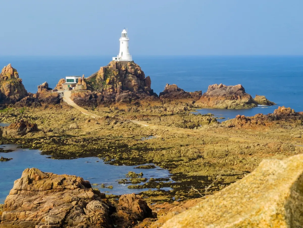
Jersey: castles and beaches
The largest and most populous of the Channel Islands, Jersey is also popular with visitors; therefore tends to be the busiest of the islands in peak season. Jersey has some great beaches, excellent walks and cracking castles, some fascinating prehistoric sites (in particular La Hougue Bie) and more remnants of Hitler’s Atlantic Wall than you can shake a stick at. The vast intertidal area between Jersey’s southeast coast and Seymour Tower is wonderful to explore at low tide.
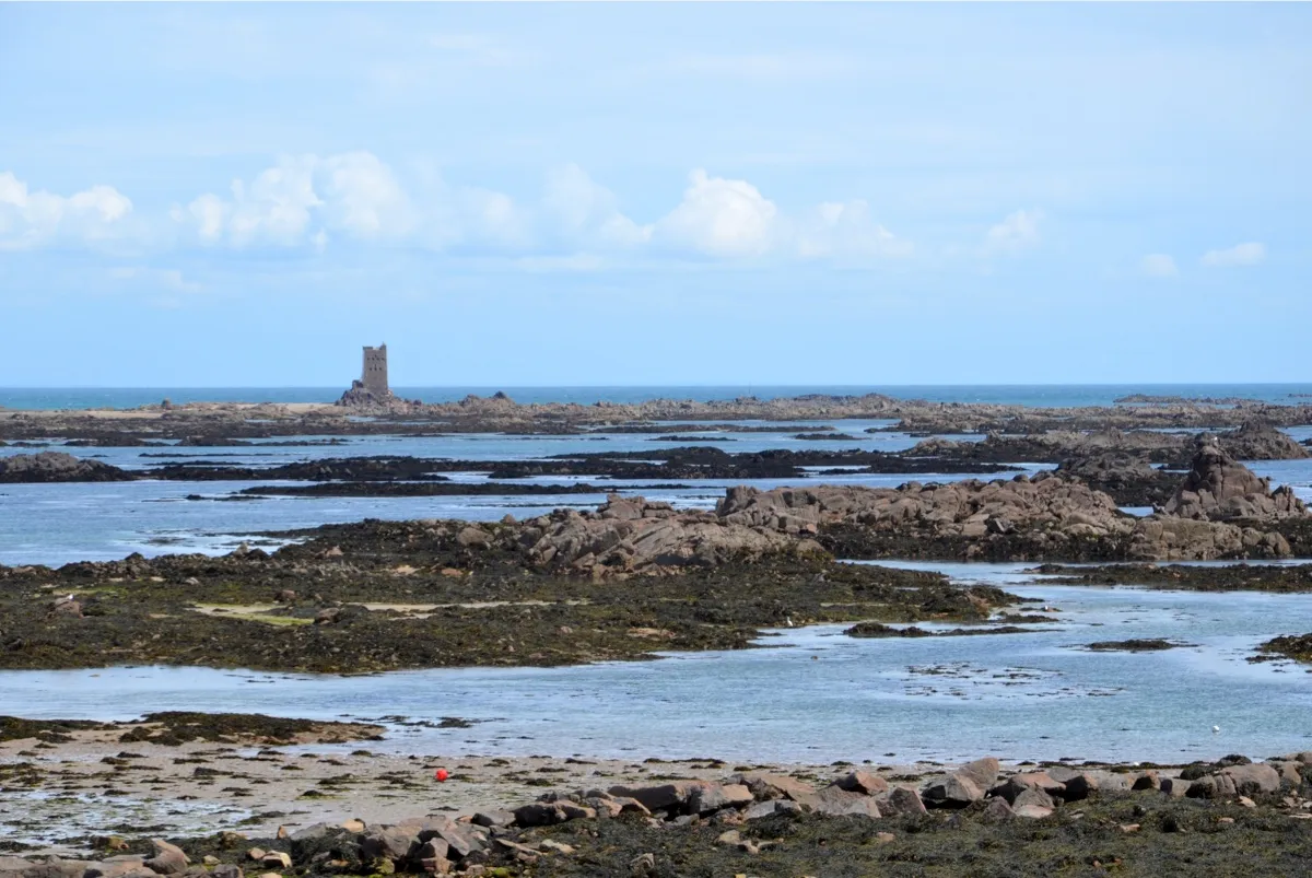
Getting there
Travelling to an archipelago is wonderfully alluring, however you get there – in the case of the Channel Islands, regular ferries and flights from the UK mainland and France, as well between the islands themselves, make visiting a doddle. The Aurigny flight to Alderney from Guernsey, in a tiny Britten-Norman Trislander – skimming below the clouds at 600m (2,000ft) over an expanse of foam-speckled ocean and black rocks – is worth a trip in itself.
By Air: Regular flights to the Channel Islands from 30 regional airports depart during the summer. Find their frequency and schedule here.
By Sea: Ferries to Jersey (10 hrs 30 mins) and Guernsey (6hrs 30 mins) depart from Portsmouth and a fast ferry from Poole Guernsey (3 hours) Jersey (4 hours 30 mins).
Getting about: Car hire is available on Jersey and Guernsey.
Stay
Plan your perfect island escape with our nine favourite beachside places to stay on the Channel Islands.
Rudolf Abraham is an award-winning travel writer and photographer.
