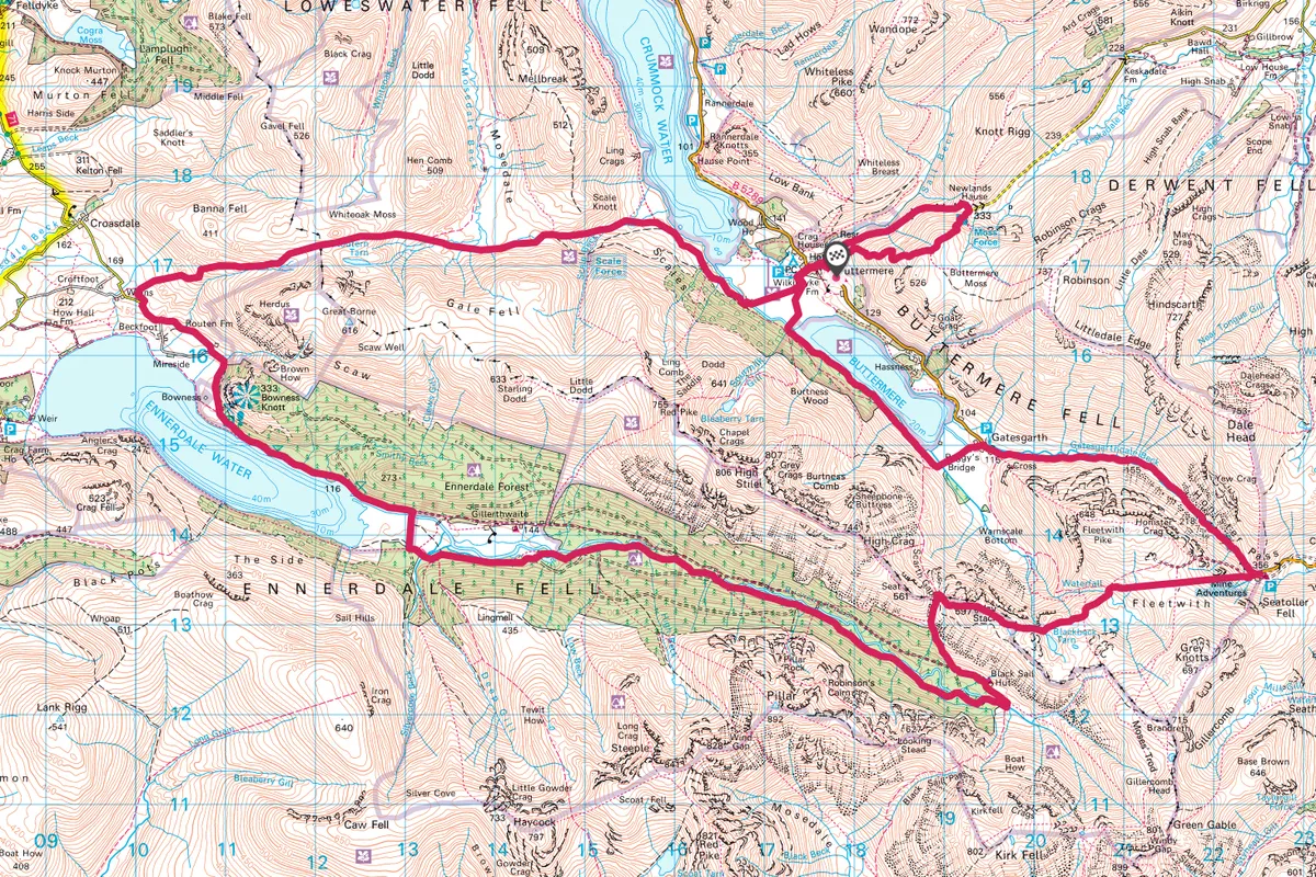
This 25-mile (40km) hostel-to-hostel walk passes Buttermere lake and crosses fields before rising through Honister Pass. The next day, head south-west across moors, tors and beside lonely tarns to one of the most remote hostels in the UK, Black Sail, before returning through the wild forests of Ennerdale Valley, up and over Whiteoak Moss and back to Buttermere.
The route can be completed in three-four days, making it perfect for less experienced long-distance walkers.
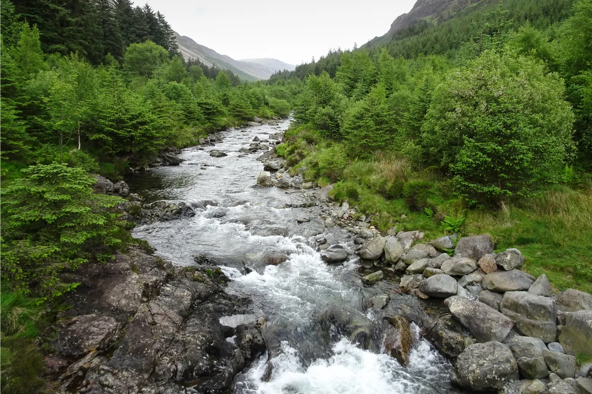
Buttermere and Ennerdale walk
25 miles/40km | 1,435m accent | 2–4 days | moderate–challenging
Day 1 - Buttermere to Honister
1. YHA Buttermere
Turn right out of YHA Buttermere and follow the road downhill for a few hundred metres to a right-hand turn. This next section is a diversion, offering walkers the chance to get a wide-ranging view of the valley below. If you would rather stay low, or the weather is bad, continue on the main road into Buttermere Village. To continue with the diversion, join the side-road on your right, heading uphill past a parking area.
2. High Snockrigg
Look out for a small footpath heading off to the right beside another narrow parking area. The track climbs steadily at first, then steepens, ascending 350m over the next 1.5km.
3. Moss Force
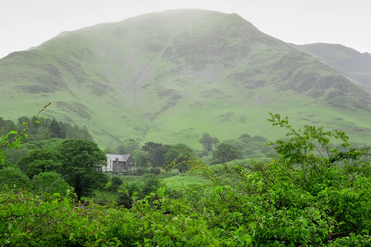
The path flattens out just beneath the summit of High Snockrigg. Take the path heading north-east, descending into a gully beside Moss Force. The path is steep and care should be taken in wet weather. Once you reach the road, turn left and continue to descend into Buttermere Village.
4. Buttermere water
Where the road swings to the right, turn left towards the Fish Inn, passing through the gate the the left of the pub. A gravel path doglegs towards Buttermere, crossing a footbridge over Buttermere Dubs to enter Burtness Wood.

5. Burtness Wood
A forest path follows the shoreline for about 1.5km beneath a canopy of rowan, beech and larch. The track crosses Comb Beck then, 1km on, turns left across Peggy's Bridge. Cross farmland to meet the road at the foot of Honister Pass.
6. Honister Hause
Turn right, climbing first gradually then steeply through Honister Pass (B5289) for about 4km. Stay the night at YHA Honister Hause.
Day 2 – Honister to Ennerdale
7. Little Round How
Take the route behind the slate mine car park, veering away from the main track on the dismantled tramway, climbing east through shattered slate workings. After about 1.5km you'll reach Dubs quarry and bothy. Descend to the river and cross it (you might have to take boots off when the river is in spate). Ascend past Little Round How.
8. Hay Stacks
Ignore the turn-offs to the right and left then skirt the southern side of Green Crag. The trail jinxes through a rough landscape, first past Blackbeck Tarn, then Innominate Tarn and up to Hay Stacks.
9. Scarth Gap
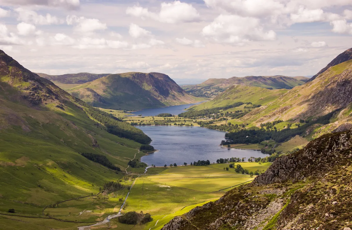
There are several east-bound routes off the summit of Hay Stacks. Essentially, your aim is to reach a flat pass known as Scarth Gap.
10. Black Sail
Walk south from Scarth Gap, descending to meet a path of stone steps. Continue downhill, bending left between moorland and trees to meet a stony track. Turn left and make for YHA Black Sail (accommodation).
Day 3 – Ennerdale to Buttermere
11. Ennerdale
From Black Sail, continue on the main path into the valley for 300m. Cross the bridge over the Liza River and turn sharp right to follow a faint path beside the water. Pass through a gate and join the south bank's main forest track. Stick to this for about 4km.

12. River Liza
The path drops down to a bridge over the River Liza. Don't cross but instead take the narrow trail beside the river, wending through an enchanting woodland. The river braids in places, offering lots of great picnic spots. Stay with the main waterside path for about 4km.

13. Ennerdale shores
Cross a footbridge. Ignore the first path to the right but take the second, walking between meadows with Ennerdale Water to your left and the valley to your right. You'll soon meet a second bridge; cross it then turn left, sticking to the lake shore for about 2km.
14. Flourtern Cop
The track turns away from the water, soon passing a parking area. Stay on the lane as it winds beneath Bowness Knot and past Routen Farm. The road rises gradually. On a bend, opposite a small parking bay, look out for a footpath on the right. A hedge-lined green path ascends first north then west, opening out into fields, then moorland. Keeping Great Borne on your right, climb steadily to the broad pass below Flourtern Cop. From here you can see Buttermere valley.
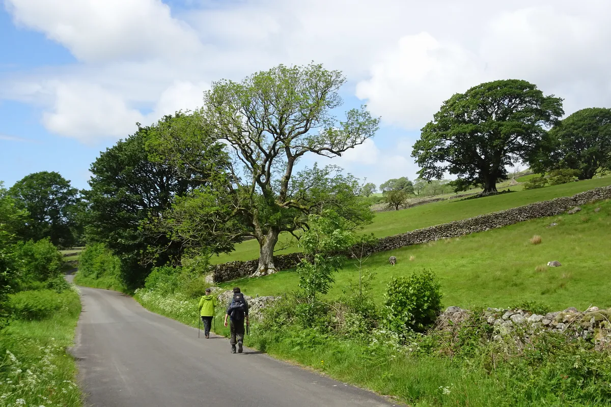
15. Crummock Water
Stick with the west-bound path for 4km, ignoring any side paths as you drop steeply beside Hen Comb, flatten through blog, then drop steeply again. A worthy diversion peels off to the right to Scale Force. If your legs are beginning to tire, continue downhill, crossing Scale Beck to pick up Crummock Water's lakeside path.
16. Scale Bridge
It's now simply a case of remaining on the waterside path. After a little over 1km, cross Scale Bridge and take the track though fields back to Buttermere Village. Enjoy a well-deserved drink at the Fish Inn before returning to YHA Buttermere and the start of your three-day walk.
Buttermere and Ennerdale map
Buttermere and Ennerdale walking route and map
