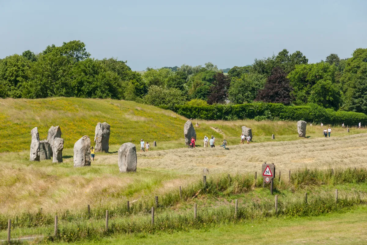
This relatively easy route around Avebury rambles past Silbury Hill (Europe’s highest manmade mound) to West Kennet Long Barrow (a burial site dating to 3650 BC), and then sends you ambling back to Avebury via an avenue of standing stones, to a 200-year-old thatched pub built around an ancient well that echoes with dark stories.
Looking for something a bit longer? Try our Avebury Ridgeway walk, which takes you from Avebury Stone Circles along the Ridgeway – one of Britain’s most ancient roads – to the glorious heights of Hackpen Hill.
- Best walks in Wiltshire
- Guide to Neolithic Britain: when was the Neolithic period, history and best sites to visit
- British hillforts guide: history and best places to visit
Avebury walk
5.4 miles / 8.7km | 3 hours | moderate | 110m ascent
1. Start
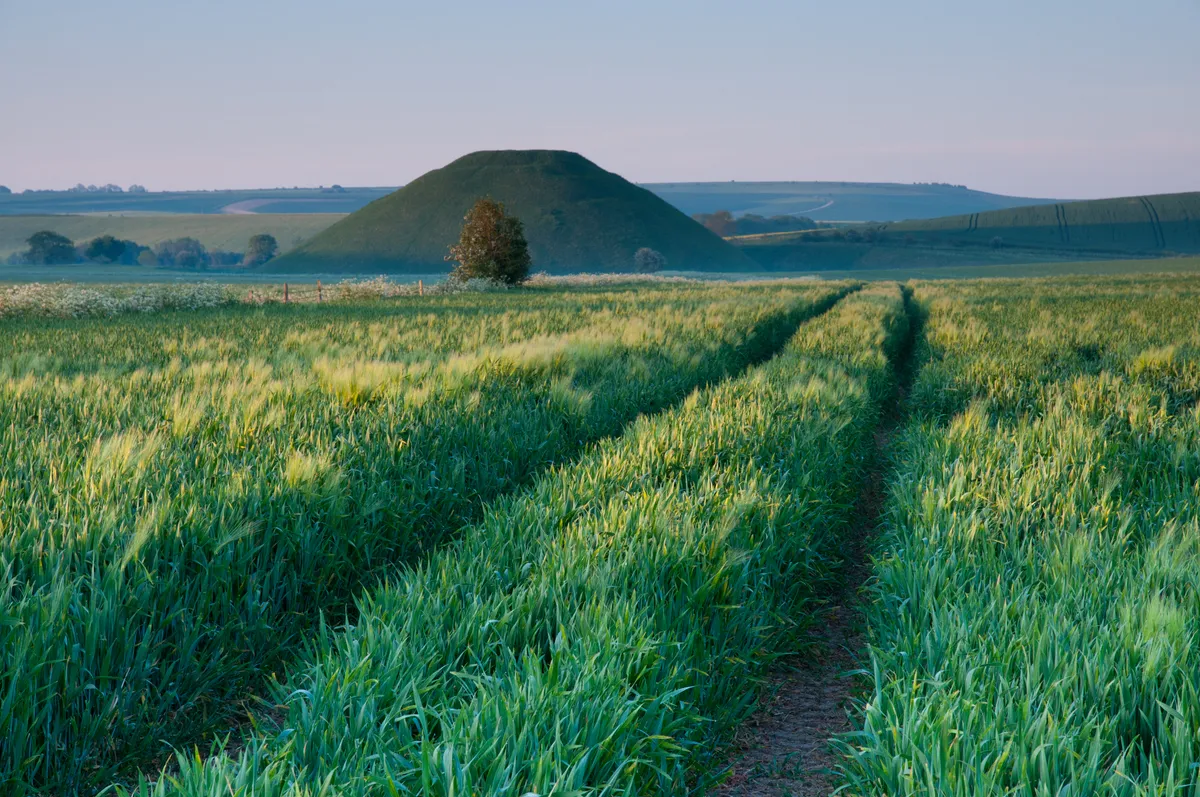
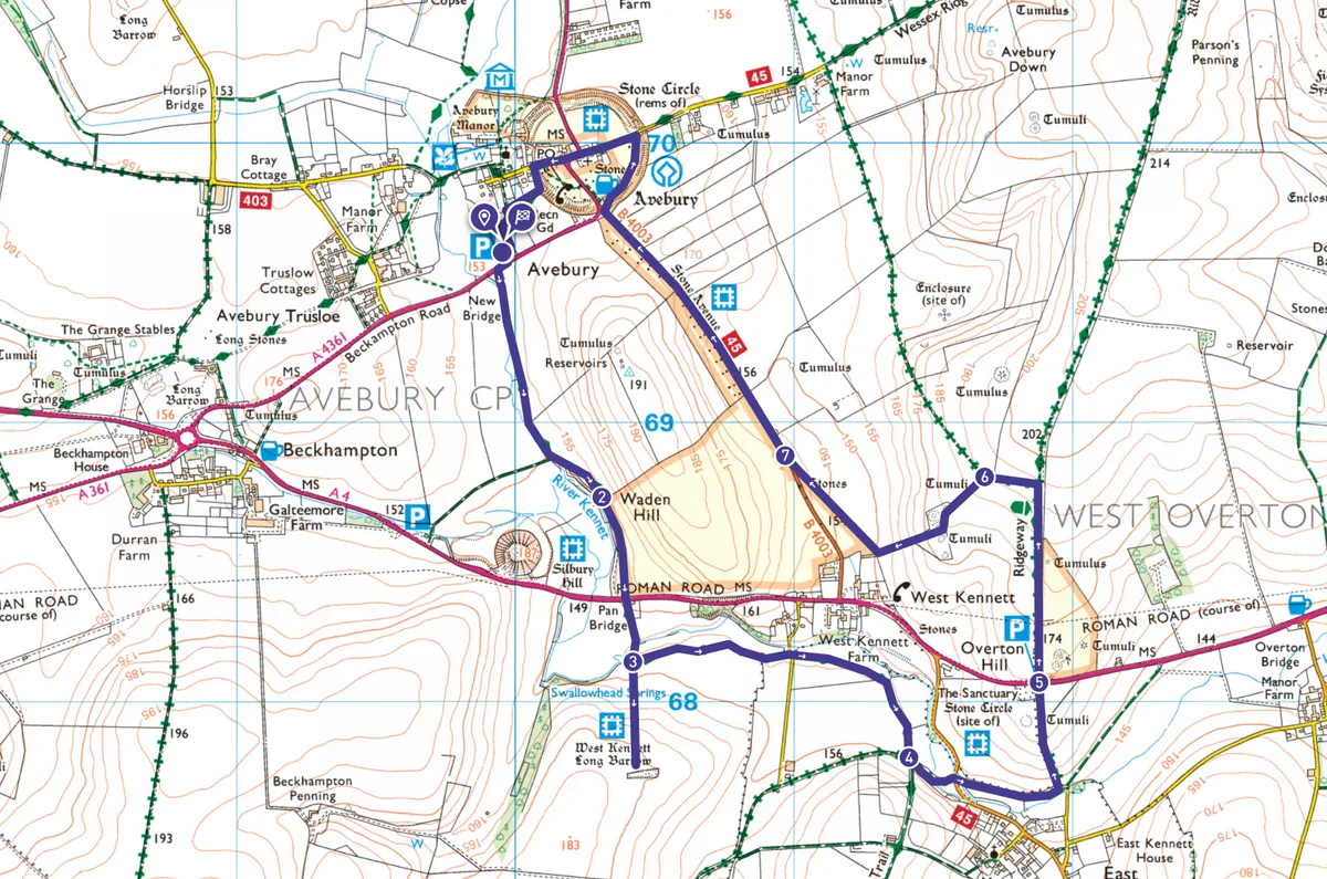
From the car park, carefully cross the A4361 and follow the footpath (part of the White Horse Trail) towards the distinctive pyramid shape of Silbury Hill, a massive, mysterious, manmade mound dating to 2400 BC.
2. Silbury Hill
Pass Silbury Hill and continue along the bottom of Waden Hill (left), with the River Kennet on your right.
Cross the A4 by a thatched cottage, and follow a fingerpost pointing towards the Long Barrow. Pass through a kissing gate and trace the footpath left for 50 yards.
3. West Kennet Long Barrow
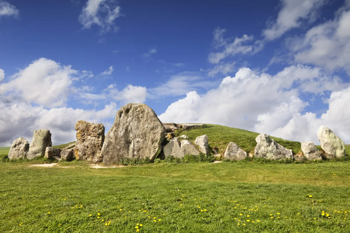
By a big oak tree, divert right, up a broad track through fields to West Kennet Long Barrow. You can enter this chambered long-barrow tomb, used for human burials from around 3670 BC. After exploring, retrace your footsteps, turning right when you rejoin the path. Cross a lane and keep following the footpath and White Horse Trail waymarkers through a wooded copse.
4. Green lane
Meeting a green lane byway, turn left, leaving the White Horse Trail and continuing to the road. Cross and turn left, passing over a stream. Go past a bridleway sign, turn right into a field and head to the top right corner. Just before the road, go left and walk up a wide track between fields to a car park.
5. Ridgeway
Cross the A4 and stroll along the Ridgeway National Trail, with barrows left and right. Ascend the hill to a junction, then turn left – leaving the Ridgeway.
6. Kennet Avenue
After about 165 yards, go left through a National Trust gate. A barrow crowned by beech trees is on your right (one of three tumuli). Descend, go through a gate and follow the path right. Cross the road, go through the gate and follow fingerpost pointing towards Kennet Avenue.
7. Red Lion
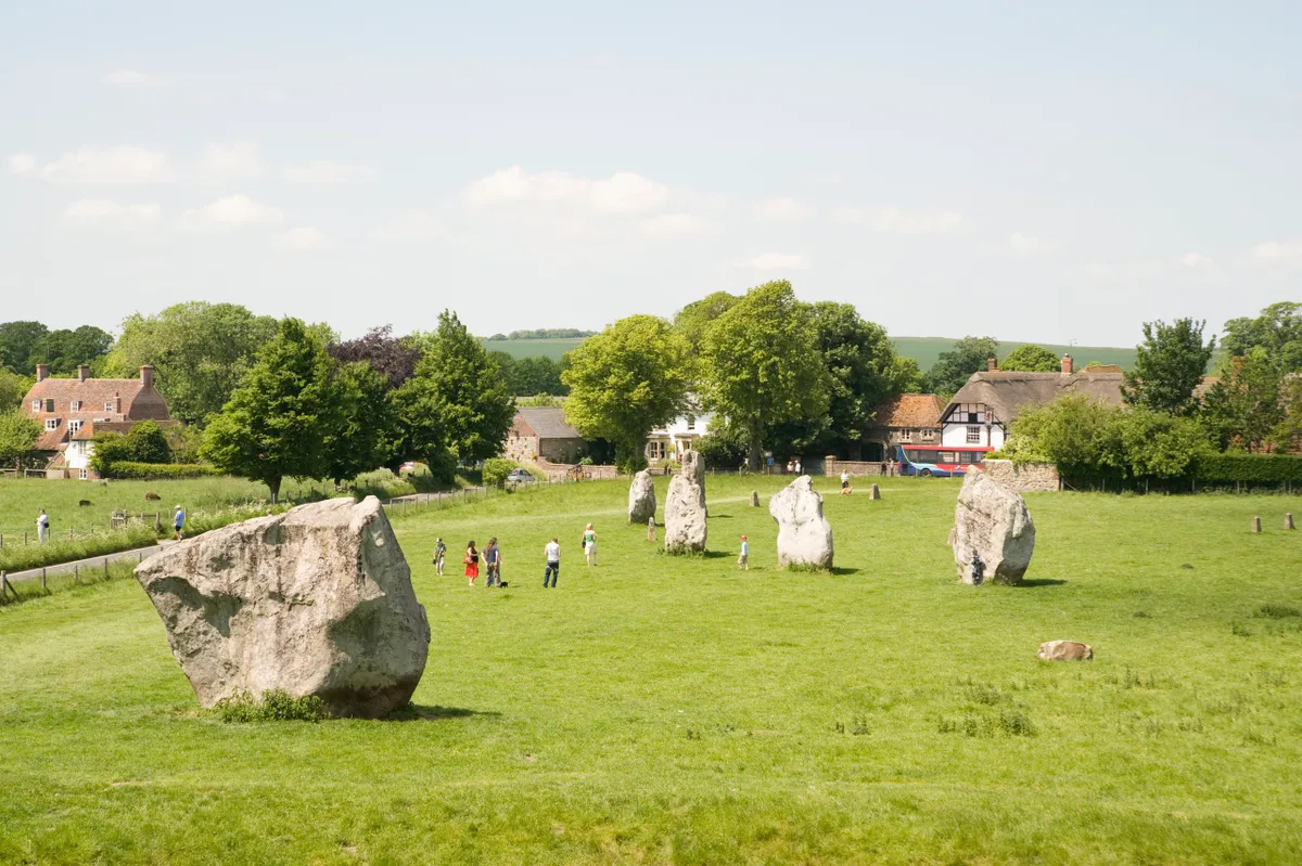
Go through a double gate and walk across a field of standing stones, with Waden Hill to the left and the foothills of Avebury Down on your right. Exit, cross the road and go through a gate opposite. Walk around the raised henge until you meet the lane, then turn left to the Red Lion. After leaving the pub, follow signs back to the car park.
Avebury map
Useful information
Starting point
The main visitor car park in Avebury (free for National Trust and English Heritage members), postcode: SN8 1RD; Grid ref: SU 098/697
For drivers, Avebury is 6 miles west of Marlborough on the A4361. The closest train station is Pewsey (10½ miles / 17km). Buses 49 (Swindon–Devizes) and 42 (Calne–Marlborough) stop opposite the Red Lion.
Terrain
Well maintained footpaths, farm fields and tracks.
Map
OS Explorer 157
Eat and drink
The Red Lion dates to 1802. The thatched building was constructed within the stone circle and around a well that’s 200 years older than the pub, and is full of stories. Food is served all day, every day.
Stay
Located within the stone circle, the Avebury Lodge offers boutique B&B accommodation, with all rooms overlooking the henge.
