East Riding of Yorkshire – also known as East Yorkshire, or East Riding – is a county in north-east England. It shares its borders with North Yorkshire, South Yorkshire and Lincolnshire, with its eastern and southern boundaries flanked by the chilly waters of the North Sea and Humber Estuary.
The county is famed for its rolling chalk hills – the Yorkshire Wolds – as well as its sweeping vales and over 50 miles of characterful coastline.
The Yorkshire Wolds Way is the county's best-known trail, but there are many more great walks in the area. Here are a few of our favourites to get you started.
Best walks in East Riding of Yorkshire
Millington and Huggate, East Riding of Yorkshire
13 miles/21km | 6–7 hours hours | challenging
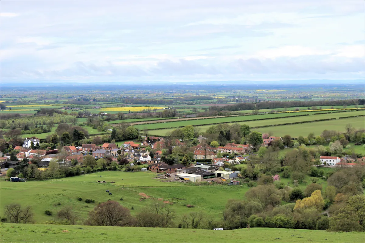
This 13-mile walk starts at the village of Millington in the East Riding of Yorkshire, heading north-east to another Yorkshire village, Huggate, before returning south. The route passes through 11 dales and includes locations made famous by the English painter David Hockney.
Millington and Huggate walking route and map
Warter
8.5 miles/13.7km | 6 hours | moderate
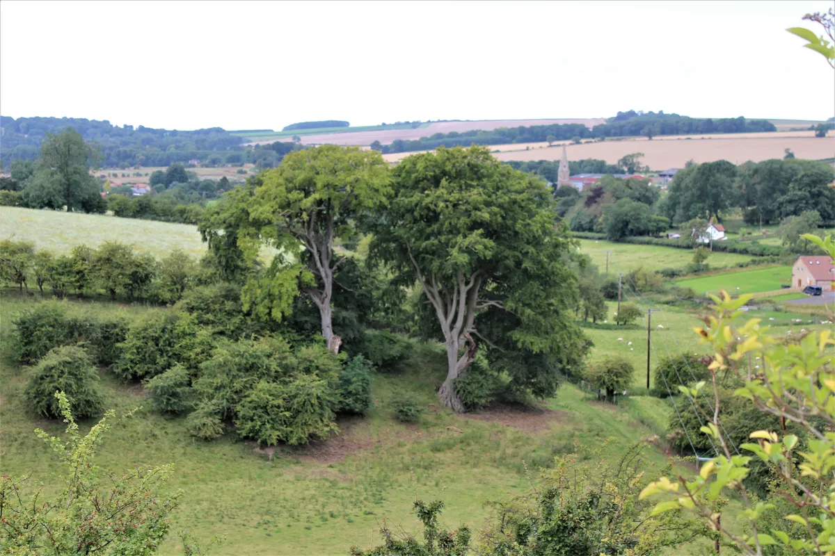
A moderate-level 8.5-mile walk through the Yorkshire Wolds. The artist David Hockney loves the landscape here, and one of his largest and most famous paintings was based on a scene from this walk.
Fridaythorpe
7.7 miles/12.4km | 4.5 hours | moderate
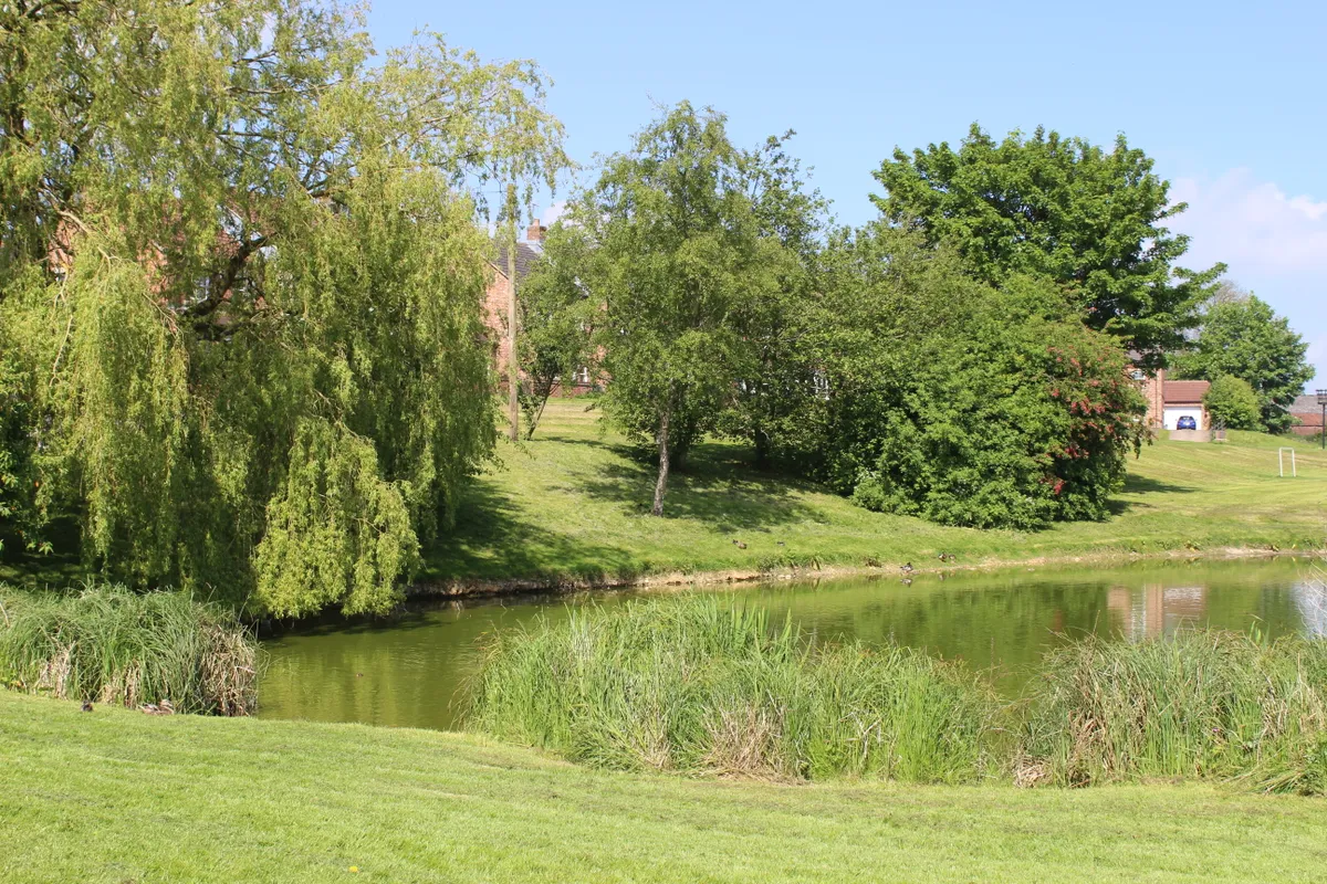
Fridaythorpe village is on the A166 and about a mile beyond the turning for the village of Thixendale. Turn left at the Farmers Arms and park opposite the village pond. Fridaythorpe is the highest of the Wolds villages.
This 7.7-mile walk is especially magical in January and February when snowdrops fill the landscape, marking the onset of spring.
Fridaythorpe walking route and map
Londesborough and Nunburnholme
10 miles/16.4km | 5-6 hours | moderate-challenging
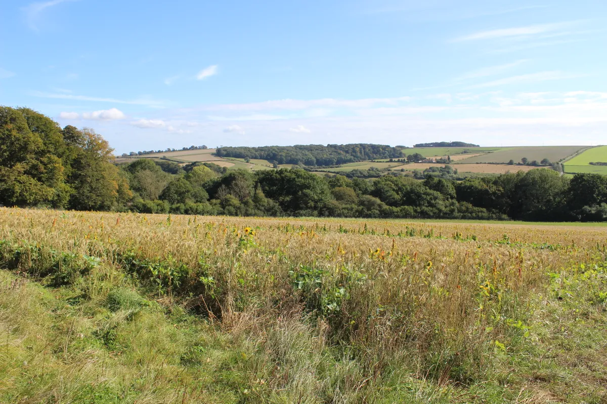
This walk takes you through one of the most scenic valleys of the Wolds. Take the A1069 from York, heading east. As you approach Shiptonthorpe, look for the left turn to Londesborough. From here, a short drive, then a quick right and left, leads you on a narrow country road to Londesborough and Nunburnholme.
The village of Londesborough, nestled among woodland, is well worth a visit as it is quite entrancing. It’s well known to Yorkshire Wolds Way hikers as the route deliberately diverts them through it.
Londesborough and Nunburnholme walking route and map
Deep Dale and Bishop Wilton
6 miles/9.8km | 4 hours | moderate-challenging
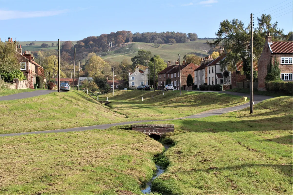
This walk at the western edge of the Yorkshire Wolds is probably one of the area’s more demanding routes. To get to the start of the walk, turn off the A166 at the top of Garrowby Hill, signed ‘Millington/Pocklington’. Head south along the Roman Road – they did seem to like it here. About half way down the road you can pull onto the grass verge opposite Callis Wold farm, leaving room for tractors to turn.
This is farming and rambling country. There are no campgrounds, hotels or trinket shops, but instead homely pubs and the Ramblers Rest restaurant and tearooms at Millington – this is a good option for anyone interested in staying in the area.
Deep Dale and Bishop Wilton walking route and map
Flamborough Head
2.4 miles/3.9km | 1.5 hours | easy-moderate
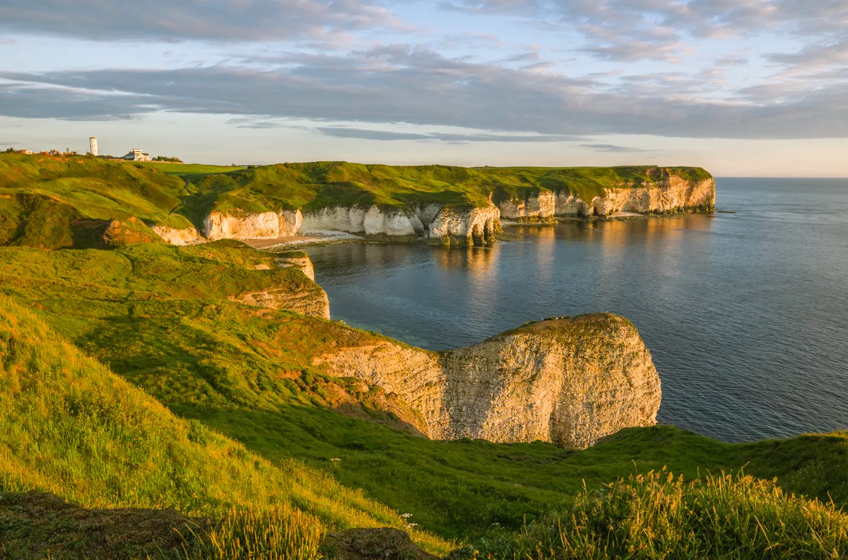
The name Flamborough is thought to come from ‘Flaneberg’, possibly from the Saxon word flaen meaning an arrow – which when you look at the area on a map it certainly resembles. It is a promontory of eight miles on the Yorkshire coast and Britain’s only northern chalk sea cliff. It is famous as a nesting site for thousands of seabirds and, as the most easterly headland in Yorkshire, it is a great spot to see migrating birds too.
Flamborough Head is a Local Nature Reserve (LNR) as well as a Site of Special Scientific Interest (SSSI), protected for its wildlife and its geology – the spectacular cliffs are formed from chalk deposited 70-90 million years ago. In August 2006, a lightning bolt hit one of the cliffs and sent 100 tonnes of rock crashing into the sea.
Flamborough Head walking route and map
Wintringham and Boynton
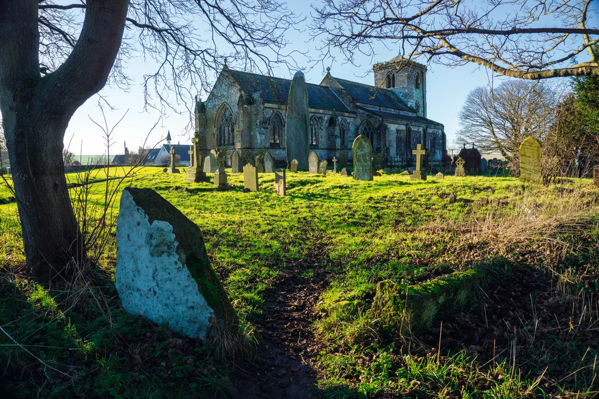
Wintringham and Boynton are classic Yorkshire Wolds hamlets in a quiet corner of East Riding, both surrounded by footpaths and bridleways. Wintringham is on the 79-mile Yorkshire Wolds Way. A short introduction to this National Trail climbs steeply through the Deep Dale plantation to Knapton Brow, where there are panoramic views across the Vale of Pickering from the stunning sculpture of Enclosure Rites by Jony Easterby.A fine network of paths strides out from Boynton, past Strickland’s hall and up on to Woldgate – an old Roman Road that would have been familiar to Strickland – which leads on via the Gypsey Race chalk stream to the prehistoric Rudston Monolith. A wider circuit includes Argam Dikes, one of a number of ancient earthworks, burial howes, tumuli and henges, so characteristic of the Yorkshire Wolds. Wintringham and Boynton walks