The Yorkshire Wolds encompasses well over 120 deep glacier-formed dales, dotted with isolated farmhouses and tiny villages. Many of these settlements were in existence before the Doomsday Book and are not much bigger now than they were then.
You will encounter some of these places on the Yorkshire Wolds Way, but there are many more great walks in the Yorkshire Wolds, each embedded with history, wildlife and an overriding sense of peace and solitude.
Here are some of the best circular walks in the Yorkshire Wolds, varying in length for easy half-day walks to more demanding full-day hikes.
Best walks in the Yorkshire Wolds
Hanging Grimston Wold, North Yorkshire
8.6 miles/13.8km | 5 hours | moderate
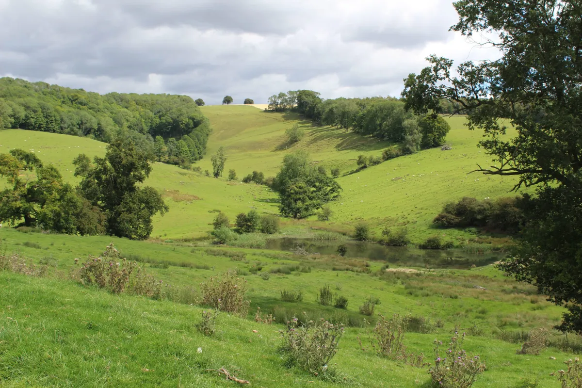
Take a hike through peaceful dales and wolds and along country lanes on this moderate-level route through the Yorkshire Wolds. The circular walk passes though Thixen Dale, Open Dale and Water Dale and includes a great panoramic view of the Vale of York as well as a welcome drink at the Cross Keys in Thixendale.
Thixen Dale and Hanging Grimston Wold walking route and map
Fridaythorpe, East Riding of Yorkshire
7.7 miles/12.4km | 4.5 hours | moderate
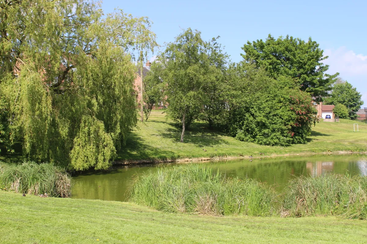
Fridaythorpe village is on the A166 and about a mile beyond the turning for the village of Thixendale. Turn left at the Farmers Arms and park opposite the village pond. Fridaythorpe is the highest of the Wolds villages.
This walk is especially magical in late January when snowdrops fill the landscape, marking the onset of spring.
Fridaythorpe walking route and map.
Deep Dale and Bishop Wilton, East Riding of Yorkshire
6 miles/9.8km | 4 hours | moderate-challenging
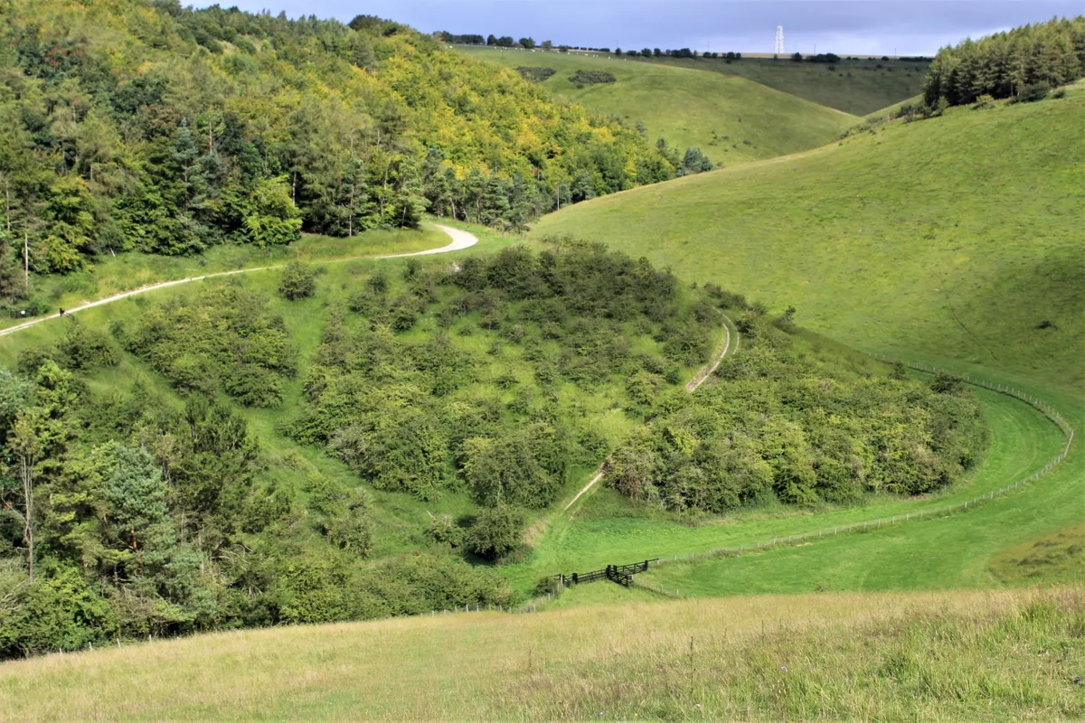
This walk at the western edge of the Yorkshire Wolds is probably one of the area’s more demanding routes. To get to the start of the walk, turn off the A166 at the top of Garrowby Hill, signed ‘Millington/Pocklington’. Head south along the Roman Road – they did seem to like it here. About halfway down the road you can pull onto the grass verge opposite Callis Wold farm, leaving room for tractors to turn.
This is farming and rambling country. There are no campgrounds, hotels or trinket shops, but instead homely pubs and the Ramblers Rest restaurant and tearooms at Millington – this is a good option for anyone interested in staying in the area.
Deep Dale and Bishop Wilton walking route and map
Londesborough and Nunburnholme, North Yorkshire
10 miles/16.4km | 5-6 hours | moderate-challenging
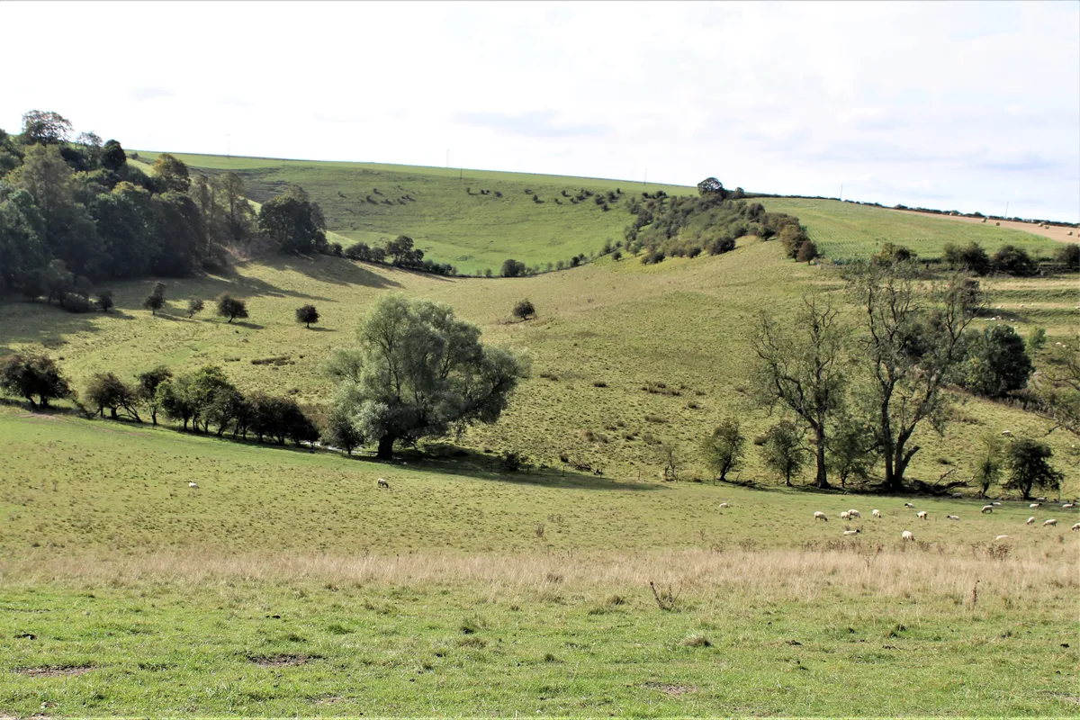
This walk takes you through one of the most scenic valleys of the Wolds. Take the A1069 from York, heading east. As you approach Shiptonthorpe, look for the left turn to Londesborough. From here, a short drive, then a quick right and left, leads you on a narrow country road to Londesborough and Nunburnholme.
The village of Londesborough, nestled among woodland, is well worth a visit as it is quite entrancing. It’s well known to Yorkshire Wolds Way hikers as the route deliberately diverts them through it.
Londesborough and Nunburnholme walking route and map
Thixendale, North Yorkshire
Length: 7.4 miles/11.9km | duration: 4 hours | difficulty: moderate
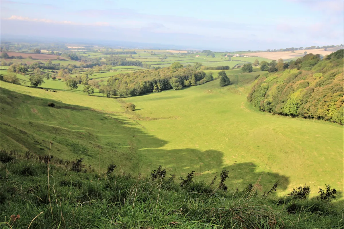
There are many more great walks in the Yorkshire Wolds, including this route from the village of Thixendale. The village lies in the valley of Waterdale, just off the A166 York to Bridlington road (17 miles from York).
Parking is available in Thixendale, either outside the church or the pub. The name Thixendale, or Thixen Dale, is also used to describe two nearby dales.
Thixendale walking route and map.
Warter, East Riding of Yorkshire
8.5 miles/13.7km | 6 hours | moderate
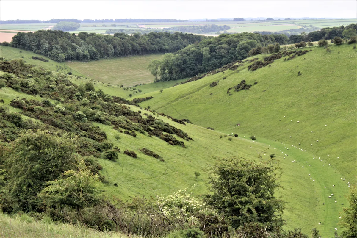
To reach the start of this Yorkshire Wolds walk, take the A1079 east of York, turn left on the B1246 and drive 17 miles to reach the village of Warter. Once in the village, turn right at the white thatched cottages and park in the large car park next to the school.
The artist David Hockney loves the landscape here, and one of his largest and most famous paintings was based on a scene from this walk. Unfortunately, many of the Dales around here are privately owned by the Healey Family and – unless you like and can afford a day’s pheasant shooting – access is denied to many of them.
Cowlam, Cottam and Garton-on-the-Wolds, East Riding of Yorkshire
14 miles/23km | 8 hours | moderate-challenging
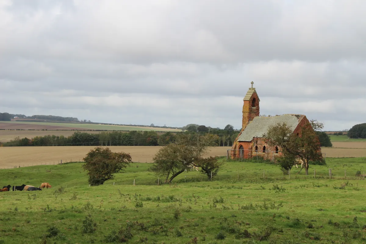
This walk takes you to the home of Sir Tatton Sykes, who was a great benefactor to the people of the Yorkshire Wolds in the 19th century. You’ll also have the chance to visit the remains of two medieval villages, Cowlam and Cottam on the Sledmere Estate, a fitting end to the day in the Wolds.
This figure-of-eight walk through the Yorkshire Wolds includes medieval villages and quiet wolds - the route can be cut in half for those looking for a half-day adventure.
Cowlam, Cottam and Garton-on-the-Wolds walking route and map.
Millington and Huggate, East Riding of Yorkshire
13 miles/21km | 6–7 hours hours | challenging
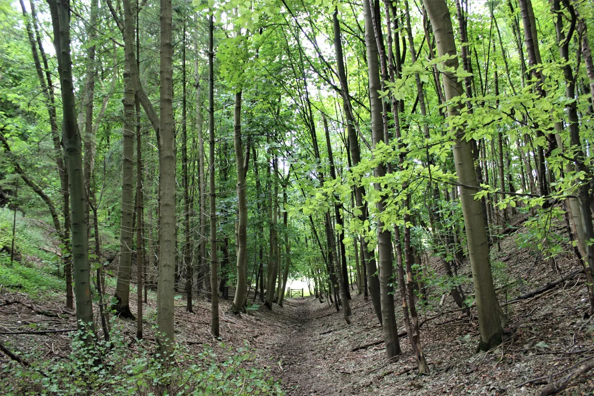
This 13-mile walk starts at the village of Millington in the East Riding of Yorkshire, heading north-east to another Yorkshire village, Huggate, before returning south. The route passes through 11 dales and includes locations made famous by the English painter David Hockney.
To reach the village, leave the A166 (heading east) at a right-hand signpost for Millington/Pocklington, The turn is at the top of Garrowby Hill, just beyond Wayrham Farm. Continue down the hill, keeping an eye out for a left turn to Millington. Turn left here and, at the bottom, take a right turn and park opposite the church.
Millington and Huggate walking route and map
Thixendale and Wharram Percy, North Yorkshire
9 miles/14.5km | 6 hours | moderate-challenging
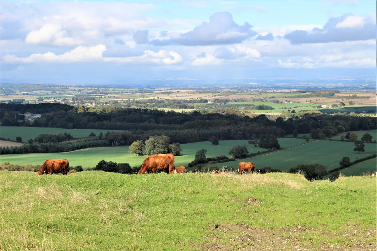
The walk from Thixendale to Wharram Percy is popular with hikers as it is part of the Yorkshire Wolds Way. That is probably the reason that most ignore this walk – which takes the long way round to reach Wharram Percy – and as a consequence miss the spectacular changing scenery around Birdsall.
This 9-mile walk includes numerous climbs within a small area, encapsulating the diverse and picturesque countryside found in the Yorkshire Wolds.
Thixendale and Wharram Percy walking route and map
All walks and article images by Jim Bradley.