The Isle of Wight has a little of everything that southern England has to offer: the chalk downs of the South Downs, the marshy coastline of the New Forest, the estuaries of Sussex, Kent and Devon, plus geology to match Dorset’s more-heralded Jurassic Coast.
The island’s Area of Outstanding Natural Beauty is the only AONB to comprise five areas of unconnected coast and downland. It even has an important castle at Carisbrooke, where Charles I was imprisoned, with a fine wall walk.
The most enchanting way to arrive is by ferry across the Solent, from Lymington in the New Forest. As you approach the small port of Yarmouth, this 40-minute journey gives you fine views of the iconic chalk-rock stacks known as the Needles, before you berth by the Western Yar estuary – a low-lying, swamp-like world of marshes, lagoons and tidal mudflats.
Once on the island, opportunities for walking abound. Here are a few ideas to get you started.
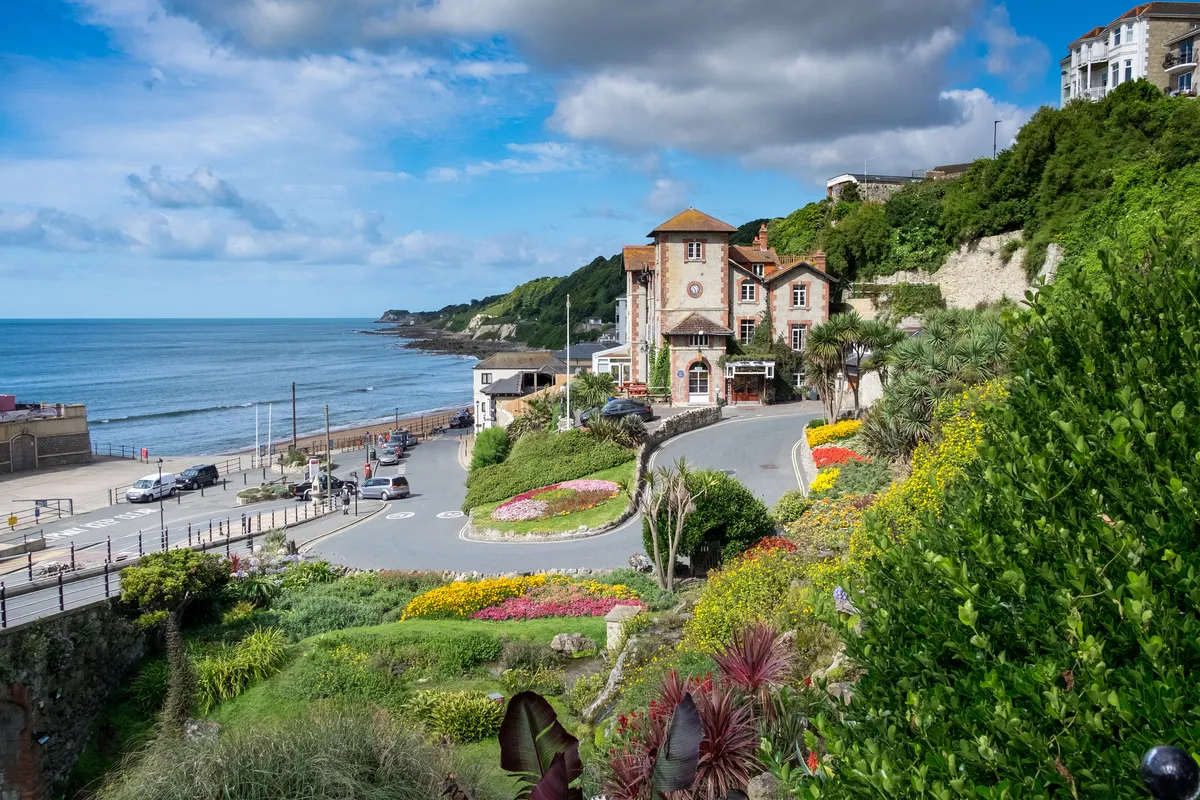
Best walks on the Isle of Wight
Shanklin to Ventnor
4.6 miles/7.3km | 3.5 hours | moderate
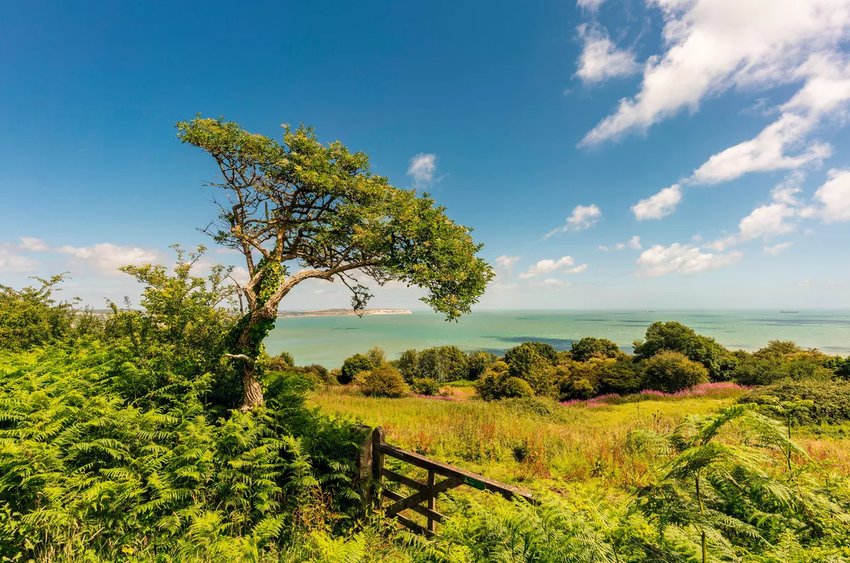
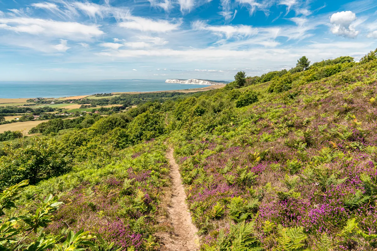
One of the very first places to welcome spring arrivals to the UK is the high downs that bunch together in the south-east corner of the Isle of Wight. This is where the chalk spine of downlands that crosses the island finally runs out of steam and collapses into a heap of undulating ridges. Extremely easy on the eye, these fall away precipitously into a series of concentric punchbowl valleys.
You’ll find the greatest drama – and the bulk of the arriving birdlife – up above the bucket-and-spade bustle of the coast, from Ventnor Down and Wroxall Down in the west to Shanklin Down and St Martin’s Down in the east. In the middle lies St Boniface Down, at 241m the highest point on the island, which in turn morphs into Nansen Hill, named after the great Norwegian polar explorer Fridtjof Nansen (even though he never visited the Island).
Shanklin to Ventnor walking route and map
Ventnor to St Lawrence
4.3 miles/6.9km | 3 hours | moderate
The Isle of Wight’s south coast footpath from Ventnor to St Lawrence (4.3 miles) offers an opportunity for a Mediterranean and Caribbean experience. Here you will discover bright green wall lizards, and great sightings of bottlenose dolphins close to shore.
Another highlight of this coastal walk is quirky and hidden-away Steephill Cove, a mix of old wooden beach shacks, upturned boats and crab pots, hugely reminiscent of the Caribbean.
Stop at The Beach Shack or The Crab Shed for locally caught crab salad and a cold, refreshing Isle of Wight beer – just the job on a hot summer’s day. The cove is not accessible by car and generally only discovered by those lucky enough to know about it.
The coastal path presses on to Woody Point below St Lawrence, where you can turn around and retrace your steps back to Ventnor, or alternatively, carry on to the village of Niton and catch the bus back.
Ventnor to St Lawrence walking route and map
St Catherine’s Oratory
4.6 miles/7.4km | 3 hours | moderate

Some 700 years ago, it is said, the opportunistic Lord Walter de Godeton found a shipwreck off his land, and duly helped himself to the casks of wine on board. But what he didn’t realise was that the wine belonged to the Church.
As penance, Lord Walter was ordered to build a lighthouse above the wreck on the site of an oratory: a small chapel not connected to a parish church dedicated for prayer and celebrating Mass.
Today, his little octagonal hilltop tower is all that remains of the oratory and is Britain’s only surviving medieval lighthouse, standing firm against everything the elements can throw at it. The oratory is accessed via a steep scramble, but it’s a worthy hike with breathtaking views across the island and beyond. Just remember to wrap up warm and pack a flask of hot coffee to stave off any chills.
St Catherine’s Oratory walking route and map
Tennyson Down
5.8 miles/9.3km | 3.5 hours | moderate
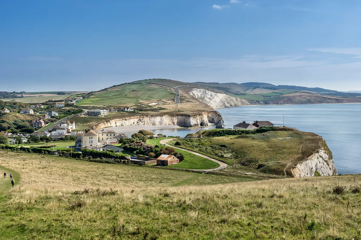
Tennyson Down is a life-enhancing place, where you can enjoy striding over the springy, flower-rich turf in the footsteps of poet Alfred, Lord Tennyson (1809-1892). Tennyson, who was Poet Laureate during the reign of Queen Victoria, lived nearby and found peace and inspiration in the downland landscape.
Walking westwards, accompanied by the hedgerow chatter of whitethroats, chaffinches and yellowhammers, you’ll find your pace quicken as you sense the gathering climax of the western edge of the Isle of Wight, tumbling into Scratchell’s Bay and the Needles.
Tennyson Down walking route and map
Bonchurch Landslip
5.6 miles/9 km | 3.5 hours | moderate
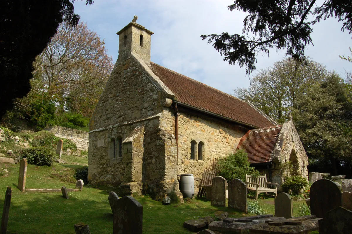
The landslip is a long-collapsed cliff face that was developed into a picturesque woodland walk in Victorian times. The route meanders to St Boniface Old Church and squeezes through a narrow rock cleft known as The Devil’s Chimney. Bus number three from Shanklin stops outside the entrance.
Bonchurch Landslip walking route and map
Mottistone and the Long Stone
3.9 miles/6.2km | 2.5 hours | moderate
From St Peter and St Paul’s Church, Mottistone, cross the road and follow footpath BS43 and waymarkers uphill for 1.2km along a lane to reach the Long Stone. The ‘stone’ comprises two blocks; with a now-lost lintel, they were an entrance to a Neolithic tomb.