Overlooking the bustling coastal villages of Brancaster Staithe and Burnham Deepdale, sits the peaceful, botanically-rich Barrow Common.
Named after a Bronze Age round barrow, the site gained ancient prominence through the views afforded by its height in the landscape.
Spot the white dots of seabirds that nest on Scolt Head Island amidst the dynamic mosaic of habitats shaped by the tides. On the common itself, songbirds sing, invertebrates buzz and common lizards bask in the sunshine.
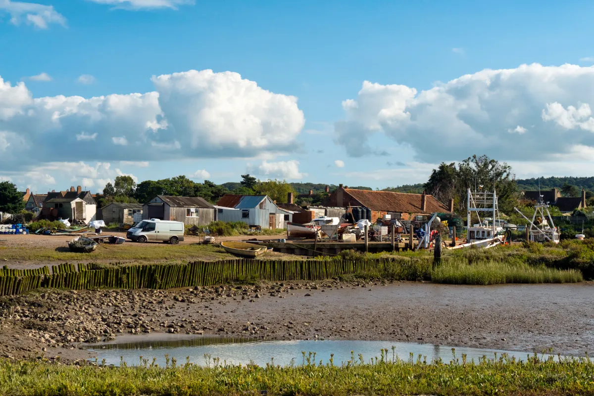
Brancaster Staithe walk
4.4 miles/ 7km | 3 hours | easy | 53m ascent
1. Start
On the edge of Brancaster Staithe Quay, spot the large red and white buoy. From here, pick up the Norfolk Coast Path westwards. The reeds on your right occasionally harbour bearded tits.
After half a mile, you will reach a National Trust sign for Branodunum Roman Fort.
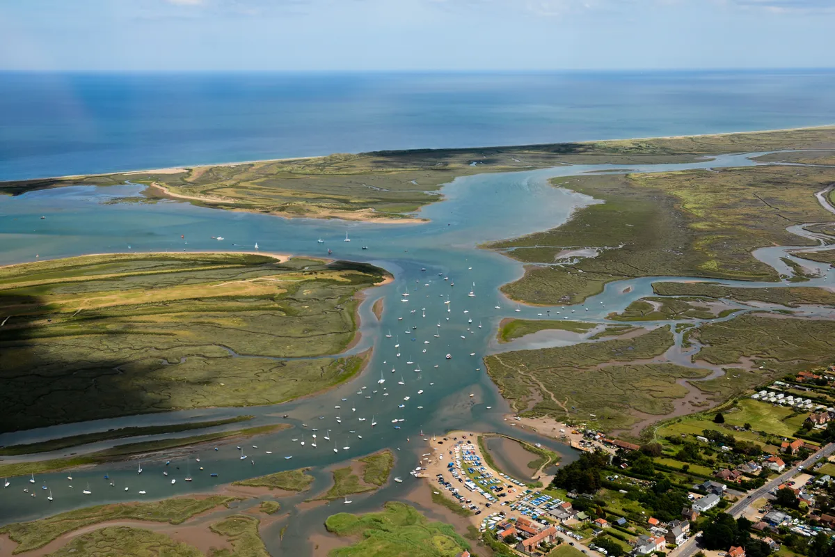
2. Branodunum
Through the gate, cross the field, forking slightly left. Go through the next gate, across the track and through another gate into another field. This is the site of a Roman shore fort.
Built around 230 AD to guard against Saxon invasion, Branodunum is the most northerly fort of its kind in Britain.
Across the field, you reach a gate by the main road.
Norfolk walks
Discover sandy shores, spectacular wildlife and classic seaside towns with our guide to the best walks in Norfolk.
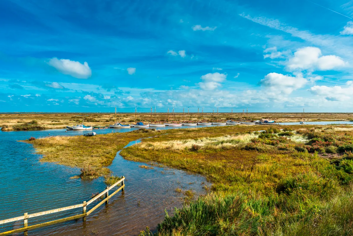
3. Green Common Lane
Cross the road and follow Green Common Lane uphill.
As you gain height, look behind you and out to sea. East of the SS Vina wreck marker, lies Scolt Head Island, internationally important for its nesting birds. In summer, look out for terns flying to the island with sand eels in their bills, foraged from the North Sea.
4. Barrow Common
Barrow Common is not only a cracking vantage point but a gem of a nature site. Softly purring turtle doves have recently returned and are believed to breed here.
In late spring and summer, the open grassland contains a plethora of wildflowers, which support solitary bees and butterflies, look out for lizards too and maybe a marsh harrier.
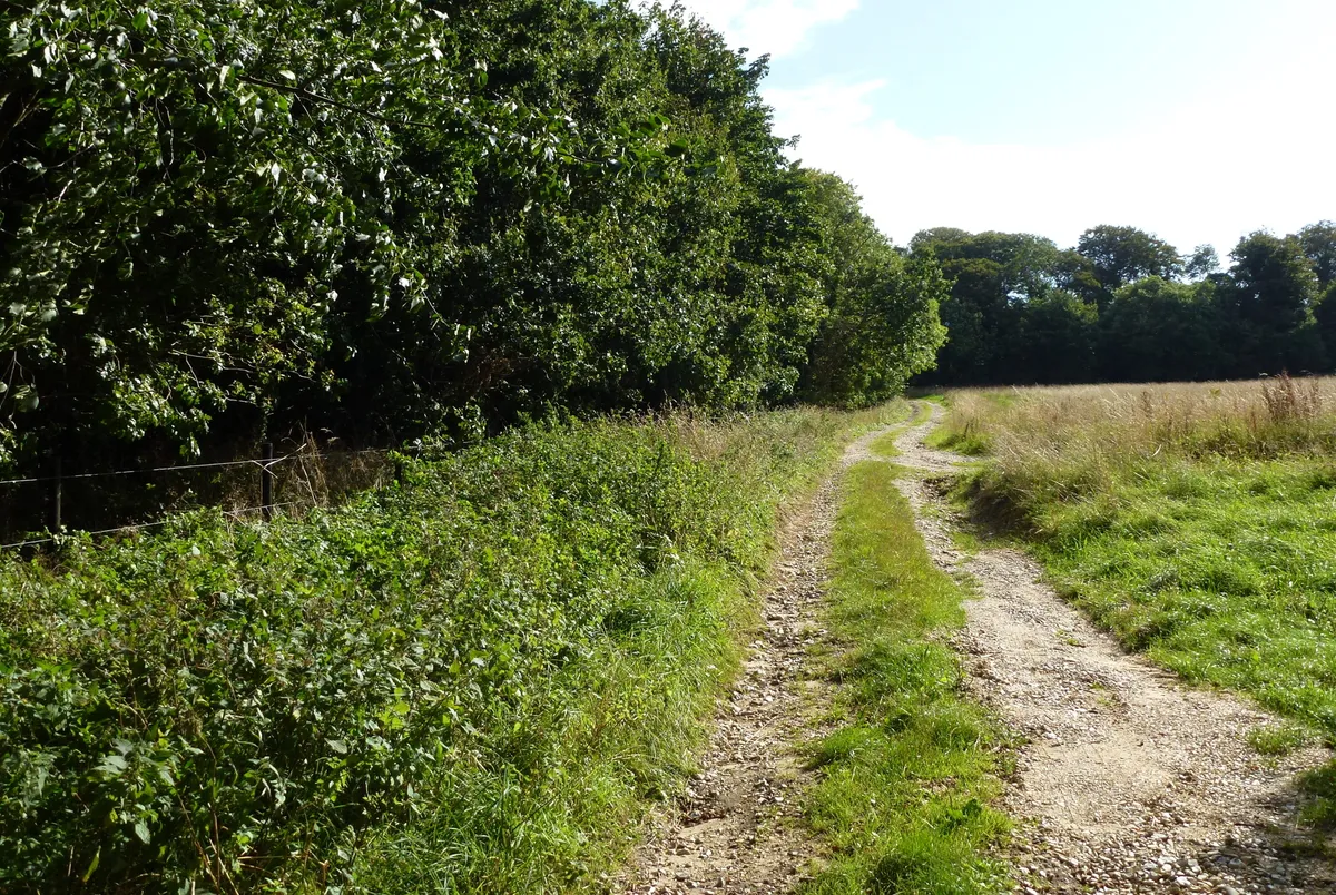
5. The Downs
Follow the path around the edge of the common to Common Lane.
Bear briefly right and then left onto Delegate Lane. This mile-long stretch takes you on a back road to Deepdale Market, passing The Downs woods where fallow deer may sometimes be spotted.
6. Brancaster Staithe Quay
Cross the road, heading right. Opposite Dalegate Stores, The Drove takes you to the Norfolk Coast Path. Head left and follow the path westwards back to Brancaster Staithe Quay.
You can divert to The White Horse to sip a well-earned beverage or tuck into a delicious meal while savouring the marsh views. Listen out for noisy oystercatchers, curlew and redshank (‘warden of the marsh’), and spot samphire growing in summer.
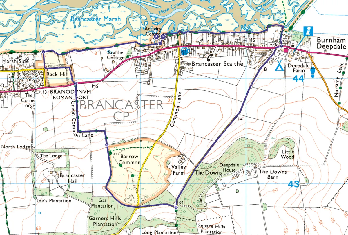
Brancaster Staithe map
Brancaster Staithe – OS Maps walking route
Useful information
Starting point
Car: Park for free on Brancaster Staithe Quay (Harbour Way, Brancaster Staithe, PE31 8BW), where there is also a public toilet. There is limited space at peak times and the car park floods during big tides, so check tide times.
Bus/train: Catch the Coastliner 36 Lynx bus (between King’s Lynn train station and Fakenham), alighting outside the Jolly Sailors pub. Head 0.1 miles west along Main Road to Harbour Way where the walk starts.
Bike: A one-mile detour from the Norfolk Coast Cycleway (Route 30).
Terrain
Mostly flat, with some slopes. Some paths may be muddy after heavy rainfall and during winter. One third of the route follows the way-marked Norfolk Coast Path.
There are no stiles, making the walk accessible to pushchairs and wheelchairs, providing operators are happy with some slopes.
Map
OS Explorer 250
Eat and drink
Brancaster Staithe boasts two award-winning pubs: the Jolly Sailors (stone-baked pizzas, pub classics, rum) and White Horse (fine dining, local seafood, breakfasts). Or grab a hot drink and snack from Deepdale Cafe.
Stay
Camp at the award-winning, eco-friendly Deepdale campsite or stay on the organic Deepdale Farm. For a bit of luxury, stay at the White Horse. If you’re a group of up to 22, there’s the National Trust’s Dial House.
