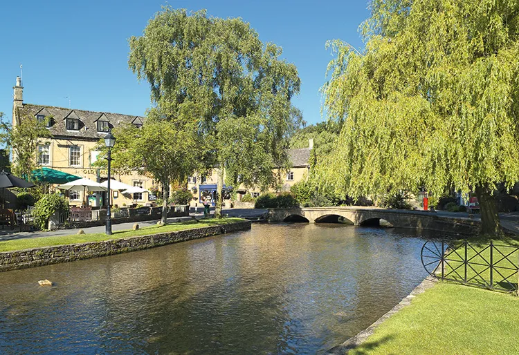
This winter, don’t let the shorter days and colder weather keep you indoors. The season of Jack Frost brings its own enchantments to the countryside and taking even a brief walk can bring health benefits and boost morale.
That’s the message of The Ramblers’ Walk in Winter campaign. The organisation has over 3000 routes to choose from on its website, and all their walks of three miles or under are freely available to everyone, making them perfect for a short but sweet saunter in the fresh air. Go with family or friends, or set off on your own winter mini-adventure.
Here is a selection ten of the best brisk walks all under three miles to get you started – all from The Ramblers’ website. You can also find more walks in our walking section, so what are you waiting for?
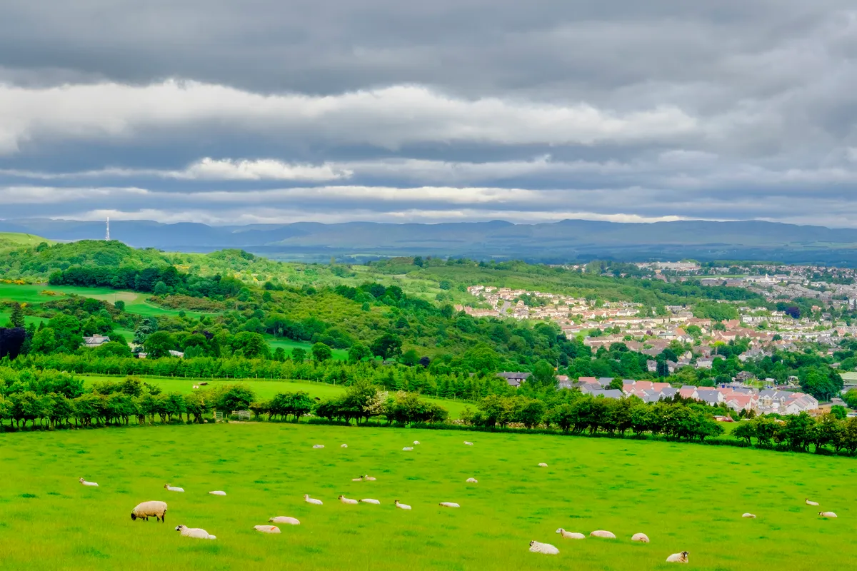
Moncreiffe Hill and Hill Forts, Perthshire (3 miles/4.8 km)
It’s amazing how much is packed into this quick jaunt up the Woodland Trust’s Moncreiffe Hill, just outside Perth. Wide tracks take walkers through woods of varied conifers and broad-leafed trees and past a sculpture trail. Keep your eyes peeled here for red squirrels and roe deer.
At the summit, there’s not just one Iron Age hill fort but two – Moncreiffe and Moredun Top. There are some cracking views of Fife and the Lomond Hills to enjoy too before the gentle descent begins.
View the Moncreiffe Hill and Hill Forts walk
Mull of Galloway, Dumfries and Galloway (2.9 miles/4.7 km)
This circular cliff-top walk around Scotland’s most southerly extreme is sure to blow away the cobwebs. After passing the elegant Mull of Galloway lighthouse, grassy paths follow the dramatic cliff edge before crossing to the unspoilt peninsula’s northern shore.
As you gaze out to sea, you may spot passing harbour porpoises and bottlenose dolphins or over-wintering barnacle geese. At the end, drop in for a warming beverage at the award-winning Gallie Craig Coffee Shop.

View the Mull of Galloway, Dumfries and Galloway walk
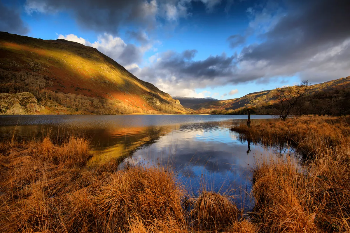
Llyn Gwynant, Snowdonia (2.9 miles/4.7 km)
Starting at the Bryn Gwynant youth hostel in the shadow of Snowdon, this route takes walkers around Llyn Gwynant, one of the region’s lesser known lakes. Despite staying relatively low the whole way, the views are stunning – both across the lake and down the Glaslyn valley towards Beddgelert.
You may even be lucky enough to spy out some feral goats in the woods. Near the end, a short detour along Snowdon’s Watkin Path will lead you to the delightful sylvan waterfalls of Afon Cwm Llan.
View Llyn Gwynant, Snowdonia walk
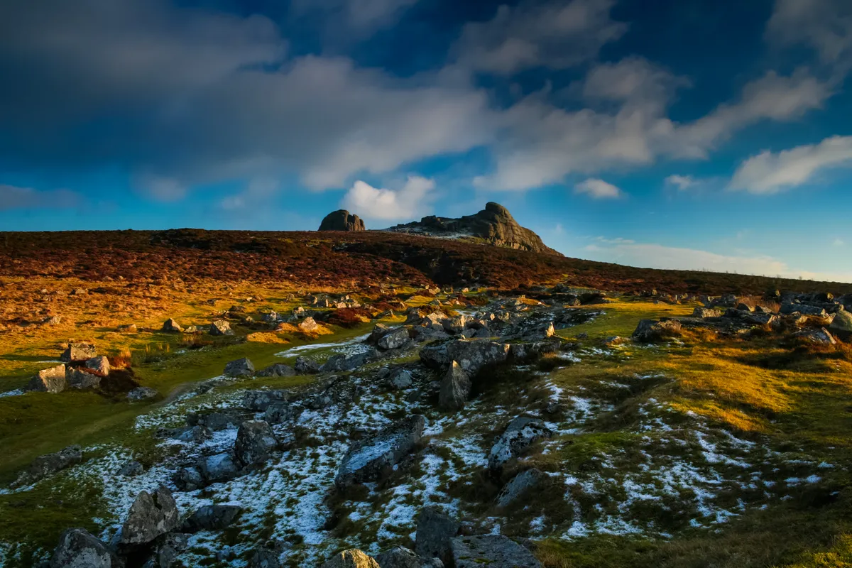
Historic Hidden Haytor, Dartmoor (2.8 miles/4.4 km)
Fans of England’s industrial heritage will be surprised to stumble across this little gem while taking in a picturesque corner of Dartmoor. The route passes former quarrymen’s cottages, the entrance to an iron mine, a wildlife-rich flooded quarry and, most impressively, the extensive remains of the Haytor Granite Tramway. These granite rails guided horse-drawn wagons on their way between the quarries and the Stover canal below. All this and views across the Bovey valley towards far away Teignmouth too.
View Historic Hidden Haytor, Dartmoor walk
Smiddy Shaw Reservoir, County Durham (1.8 miles/2.9 km)
Smiddy Shaw, Waskerley and Hisehope form a trio of reservoirs sitting on Muggleswick Common, a deliciously lonely expanse of heathland in the North Pennines Area of Outstanding Natural Beauty. This easy route around Smiddy Shaw Reservoir offers walkers the chance to drink in a 360-degree panorama of moorland wilderness. It’s an important site for many species of birds too. Roaming beneath you in the heather you might spot red grouse, while red kites, merlins and short-eared owls patrol up above.

View Smiddy Shaw Reservoir, County Durham walk
Going into Battle, East Sussex (2.7 miles/4.3 km)
Step back in time to explore the most famous date in English history: 1066. Setting off from Battle railway station, you’ll cross some of the very fields on which the Battle of Hastings was fought. You’ll climb the gentle slopes of Caldbec Hill, where King Harold’s troops slept the night before their defeat, and which today offers a fine view over the battlefield. On your return, it’s time to enjoy medieval Battle Abbey and the cavalcade of listed buildings that pack the attractive village.
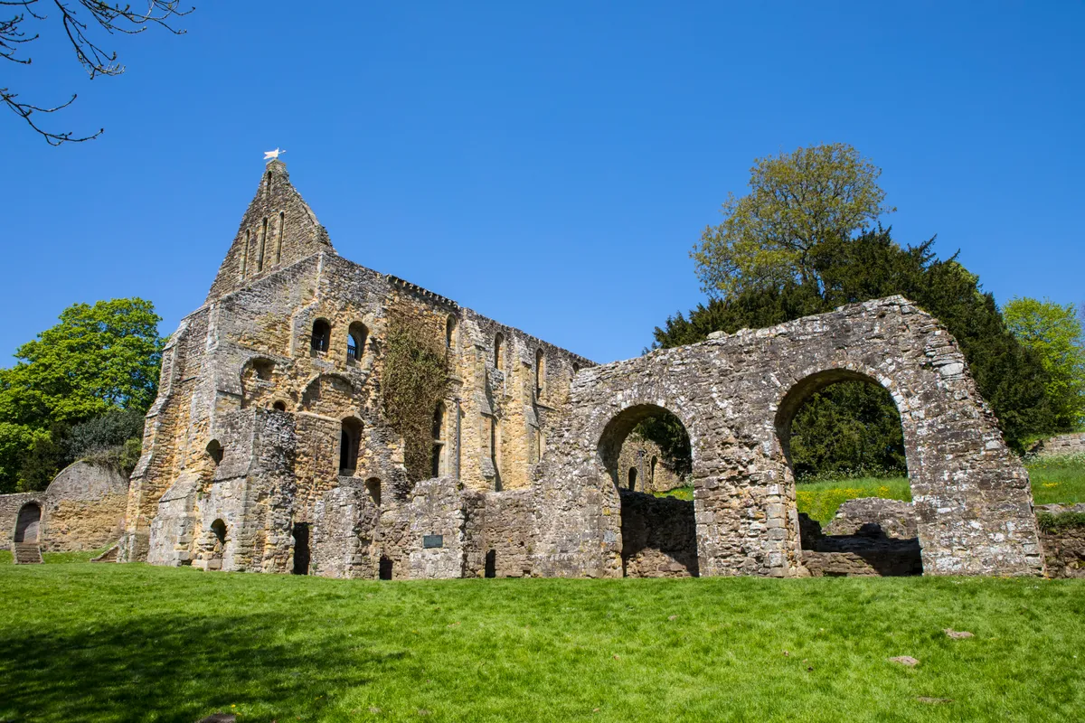
View Going into Battle, East Sussex walk
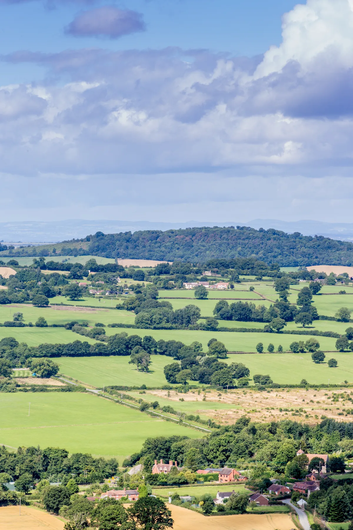
Wenlock Edge, Shropshire (2.6 miles/4.1km)
Immortalised by the poet A E Housman in , the 19-mile limestone escarpment of Wenlock Edge makes for some truly dramatic scenery. It’s actually the remains of a 425 million-year-old coral reef that formed near the equator and has slowly shifted to its current position. This circular route starts high, so there’s not too much climbing of the wooded ridge to do before you can feast on the striking vistas of Long Mynd, Caer Caradoc, Brown Clee Hill and Titterstone Clee Hill.
The Aire at Malhamdale, Yorkshire Dales (2.9 miles/4.7 km)
Avoiding the honeypots of Malham village, cove and tarn, this route explores the lesser-walked more southerly reaches of Malhamdale. Starting at the impressive Victorian stone mansion of Newfield Hall, follow footpaths through farmland to the village of Airton. Listed in the Domesday Book, the community is home to a 17th-century Quaker Meeting House and tea room, if you fancy a break mid-walk. To return, the path piggybacks a sliver of the mighty Pennine Way as it follows the east bank of the River Aire.
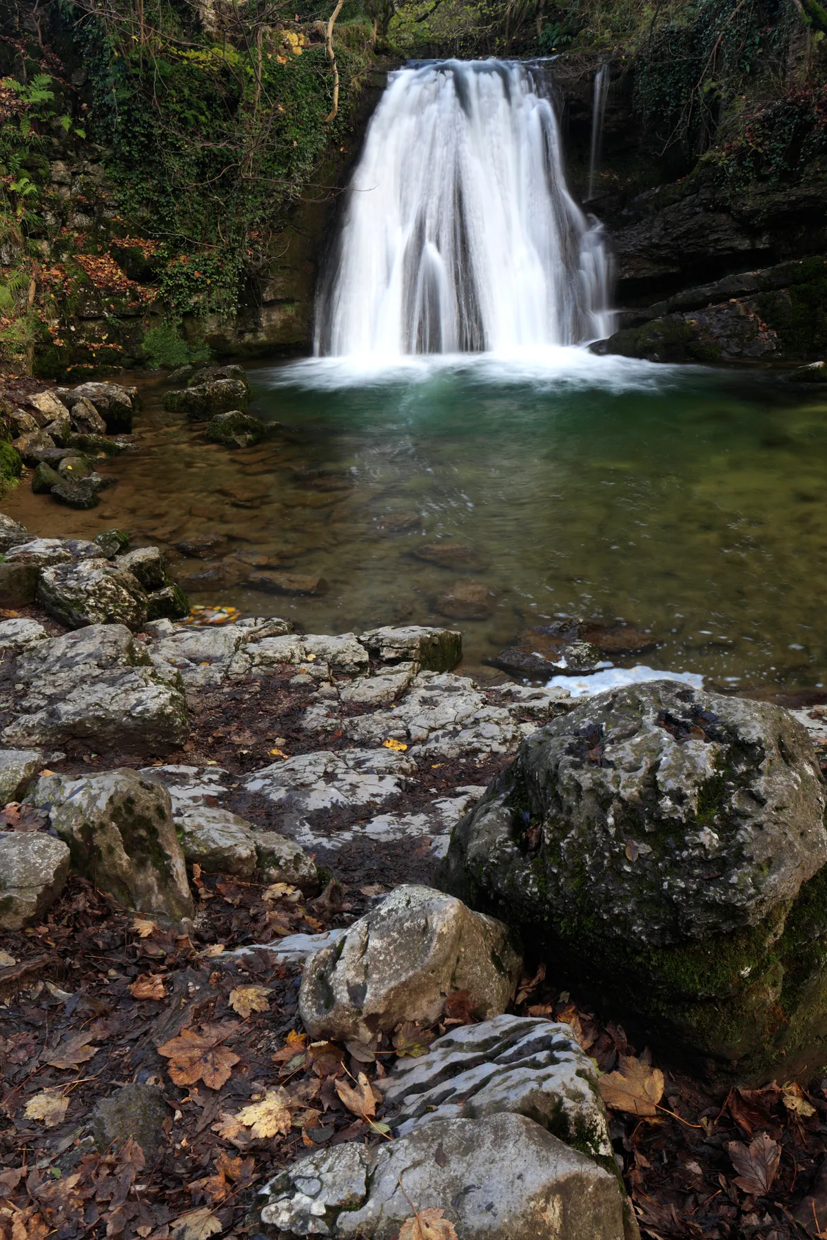
The Aire at Malhamdale, Yorkshire Dales walk
Old Bolingbroke, Lincolnshire (1.3 miles/2 km)
Nestling between two low hills in the Lincolnshire Wolds, Bolingbroke is a bucolic setting for this very easy saunter. And happily, taking a stroll around the only ‘Royal Village’ in England involves seeing a good bit of greenery too. Near its end, the route crosses the extensive grounds of Bolingbroke Castle, birthplace of the future Henry IV. The earthworks, moat and remains of the 13th-century fortress give an evocative glimpse into the nation’s turbulent past and afford lovely views across pasture and woodland. The castle is open during daylight hours and entry is free.
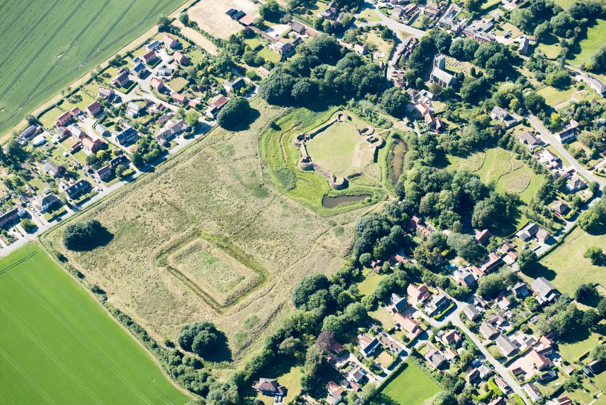
View Old Bolingbroke, Lincolnshire walk
Bourton-on-the-Water, Gloucestershire (2.9 miles/4.6 km)
The ‘Venice of the Cotswolds’ is famous for its exquisite high street, fringed with broad greens and flanked by the River Windrush with its five stone bridges. After enjoying the scene, escape into the fields by crossing the Fosse Way, the Roman Road that once ran from Exeter to Lincoln. A short section of the waymarked Monarch’s Way will take you up to the edge of the picturesque village of Lower Slaughter – well worth a small detour – before your return to Bourton.
