Smoke-filled skies. Soot-saturated streams. Sporadic birdsong. The industrial revolution of the 19th-century spelt squalor for those in its heartlands. As a philanthropic response the National Trust was born in London. In a colloquial response the area to the north-west of Birmingham took the name Black Country. For some, temporary relief was the green lungs of the Clent Hills.
Still used as an escape from urbanisation, the National Trust has owned the partially wooded Clent Hill and Walton Hill since 1959. The two peaks rise either side of St Kenelm’s Pass. Gaps between the trees seem only to enhance the fantastic views.
Access to the Client Hills can be gained via a number of car parks. This route begins at Nimmings Wood Car Park, which contains a well-priced and friendly open-air café dispensing hot drinks and snacks throughout the year.
Looking for more walking inspiration? Check out our favourite walks in England, Scotland, Northern Ireland and Wales.
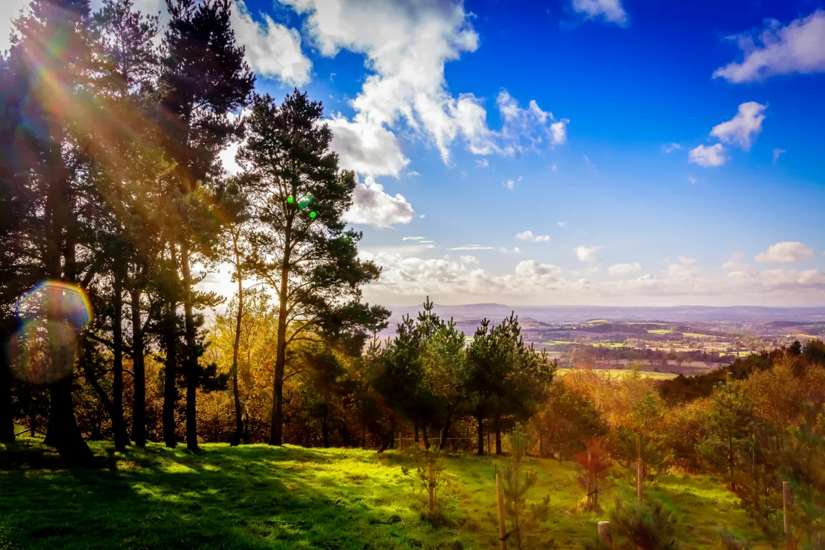
Clent hills walk
3.8 miles/6.1km | 237m accent | 2.5 hours | moderate
1. Under the arch
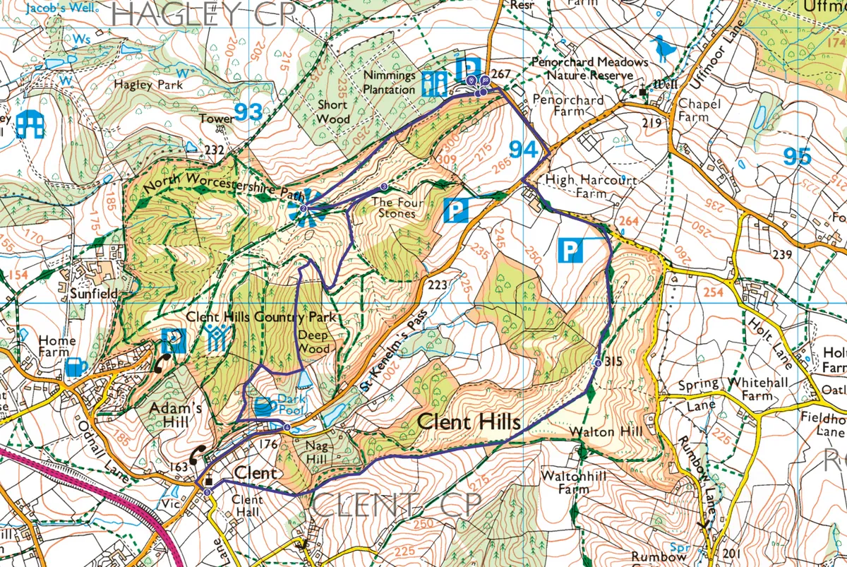
Take the main path from the car park and pass through the carved wooden "Clent Hills" archway. Shortly before emerging from the woods look for a majestic beech on the left commanding a sloped clearing of its own. This is the area's oldest tree at around 250 years old.
Love your hill walking?
One of the best ways to explore Britain's bounty of ridges, knolls and uplands is on foot. There are thousands of paths to choose from – here are a few our our favourites, each with its own route description and map.
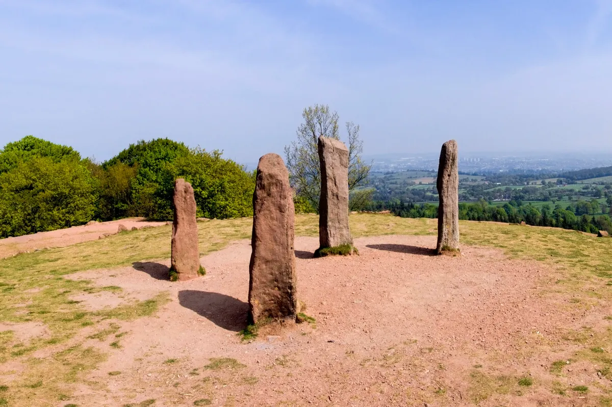
2. Four stones
Identify surrounding hills at the viewpoint; you can see beyond the Mendips to the Black Mountains and gaze over the Black Country to the Wrekin. Follow the path to the Four Stones. Look for the mid-18th-century Hagley Park castle and Wychbury Hill obelisk. The Four Stones are thought to have been erected at the same time.
3. To the Dark Pool
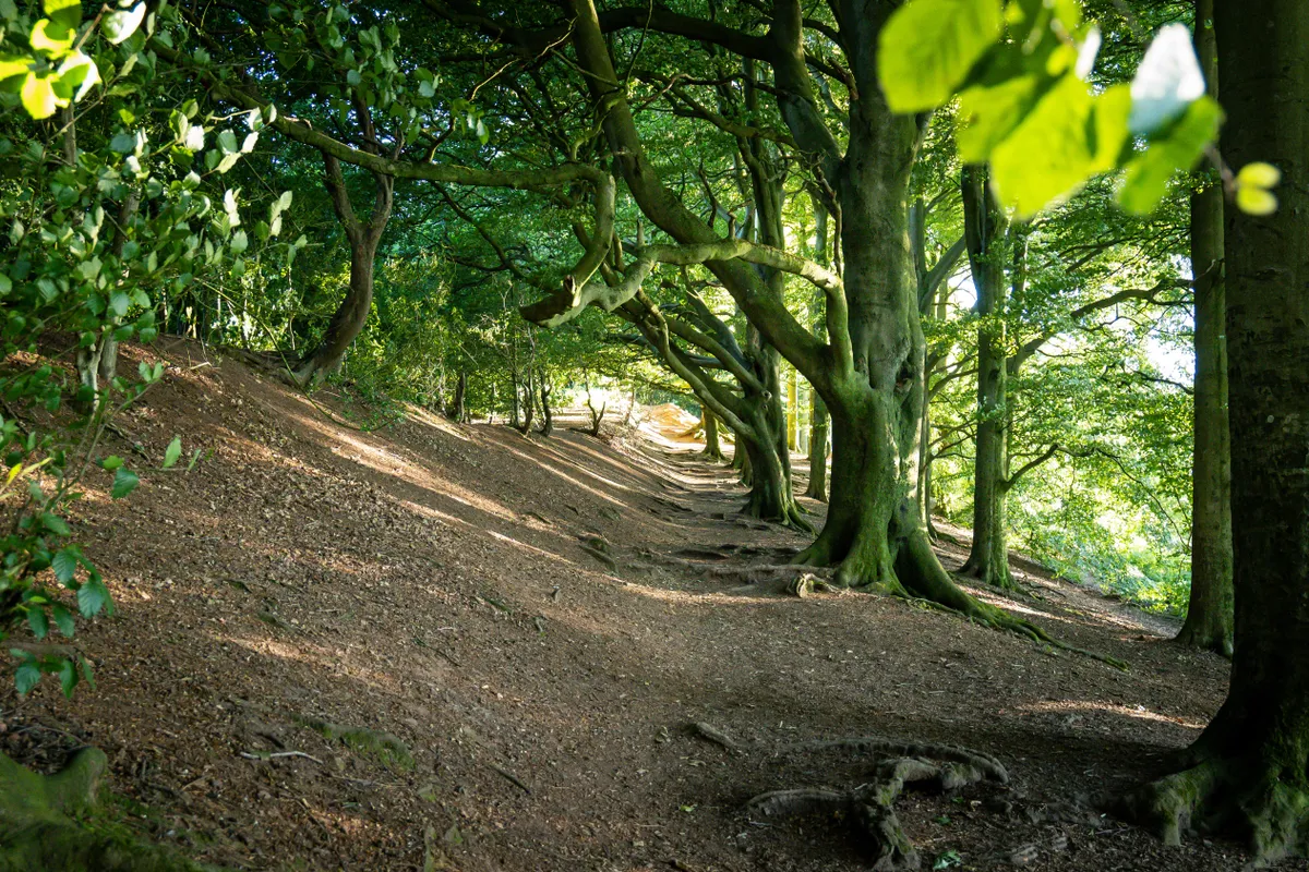
Follow the tree line to the right and continue straight along the descending ridge to reach a T-junction. Turn right into the shelter of a valley then, 150m on, take a left and descend to Dark Pool. Turn right hugging the fence. Turn left following paths into the village.
4. Pub to church
Pass the Vine Inn, once a watermill, and walk on to a church. The woodland-facing windows of St Leonard’s are clear panes, allowing the trees in, while opposite, luscious green stained-glass depicts a grape harvest.
5. Cotswolds view
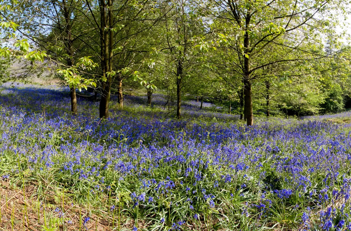
Take the path that runs behind the graveyard. Holly and oak flank the track, and between them there are fine views towards the Cotswolds and Warwickshire.
6. High point
The top of the Walton Hill is the highest point in the Clent Hills. Drop from here to the Walton Hill car park and follow lanes back to Nimmings Wood Car Park.
Clent Hills map
Clint Hills walking route and map
Clent Hills car park
Nimmings Wood Car Park is the main car park in the Clent Hills. £4 all day or free for NT members. The site includes toilets, play area, picnic site and a café (not NT). Find out more at: nationaltrust.org.uk/clent-hills
