This walk takes you high above and alongside the young rivers Meavy and Plym as they rush through their respective gorges to their confluence.
With moss-covered native woodland, boulder-strewn rapids, captivating history, open moorland and opportunities for river dipping at Cadover Bridge and Shaugh Bridge, this route has something for everybody.
Discover oak tree groves, glimpse the famous Dewerstone Crags, then ascend for stunning views of Dartmoor, Bodmin Moor and Plymouth Sound.
Dartmoor walks
This huge moorland scattered with staggering granite tors in the south-east of Devon is a hiker's paradise – discover the best walks in Dartmoor National Park with our guide.
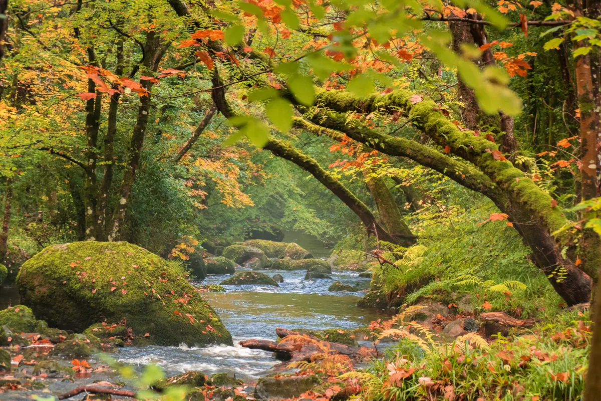
Dewerstone Valley walk
4.2 miles/6.8km | 3 hours | moderate | 207m ascent
1. Cadover Bridge
Leave the Cadover Bridge car park through the gate at the opposite end to the bridge following signs for the Dartmoor Way.
Stay high to follow the clay pipes in the ground, they are the remains of the Cadover to Shaugh China Clay Pipeline.
2. North Wood
After the stream, head directly up the hill. Continue above the Plym through North Wood’s oak trees.
Just after the stile onto West Down, you’ll glimpse Dewerstone Crags on the opposite side of the river. These granite outcrops are popular with climbers. You’ll be on Dewerstone Hill above them later.
Britain's most beautiful river walks
The British countryside is filled with charming rivers, rich in wildlife and history. Discover a river walk near you with our pick of the UK's best riverside trails.
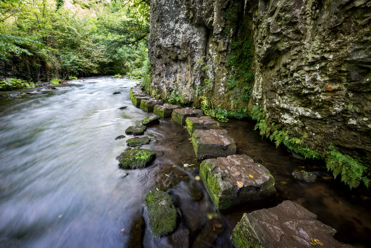
3. Shaugh Bridge
As you head down towards Shaugh Bridge, keep following signs for the Dartmoor Way (not Shaugh Prior). Follow the steep steps down to the car park where you’ll find the remains of the Shaugh China Clay Works.
Cross the wooden footbridge just above the confluence of the two rivers. Continue along the Dartmoor Way up the right-hand bank of the Meavy. As the river turns away to the left, continue uphill to the track.
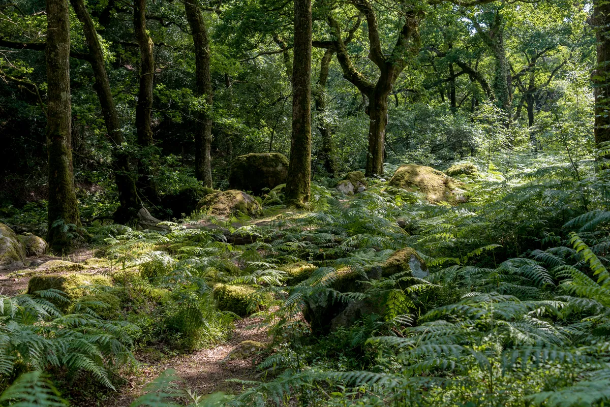
4. Dewerstone Cottage
When you meet the track (once a quarry tramway) at Dewerstone Cottage, turn right. After about 300 metres, turn back on yourself left to continue up the stone-laid incline. Admire the remains of the cable brake system at the top. Turn right along the flatter track.
Just before the quarry on the left, take the indistinct path that leads straight up the hill towards the ridge.
5. Dewerstone Rock
At the small tor, look right and you’ll see the rocky outcrop on Dewerstone Hill. Head over to admire views towards Plymouth and Cornwall and spot some Victorian graffiti. Across the river gorge is West Down where you were walking earlier.
With the Dewerstone outcrop behind you, you’ll see the remains of the settlement boundary then open moorland with a more recent wall and forested area on the right. Head for the wall and follow it round north-east.
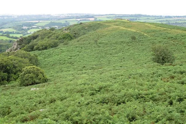
6. Wigford Down
Stay with the wall beneath Wigford Down for just over a mile until you see your car park ahead and a tall stone cross.
From the cross head left along the lane, join the road, cross the bridge and return to the car park.
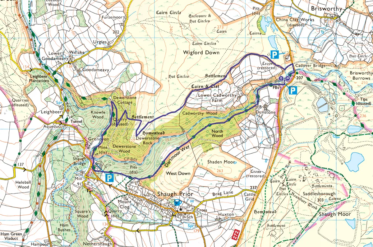
Dewerstone Valley map
OS Map: Dewerstone Valley walking route
Useful information
Starting point
Cadover Bridge car park, Yelverton, PL7 5EL (National Trust – no charge).
Terrain
Rough, uneven ground with some slippery areas. Mostly riverside woodland with one open moorland section. Some of the route is waymarked as the Dartmoor Way but you’ll need to keep a keen eye on the map or your device if you don’t want to miss any navigation points. Some navigation skills recommended.
Dewerstone map
OS Explorer OL28
Eat/drink
This walk doesn’t pass any cafes or pubs, so pack plenty of picnic snacks and a drink. If you time it right, you’ll find an ice cream van on your return to Cadover Bridge car park.
The White Thorn Inn is in nearby Shaugh Prior.
Stay
Dewerstone Cottage offers basic bunkhouse group accommodation and is on this route.
For its comfortable self-contained rooms, we also love the Ramblers’ Rest in Princetown.
For a touch of luxury and fine dining, we’ve enjoyed the Bedford Hotel in Tavistock.

