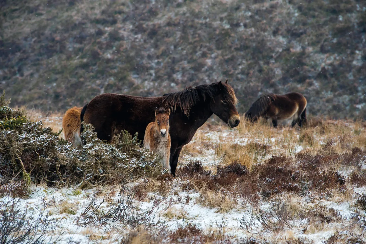
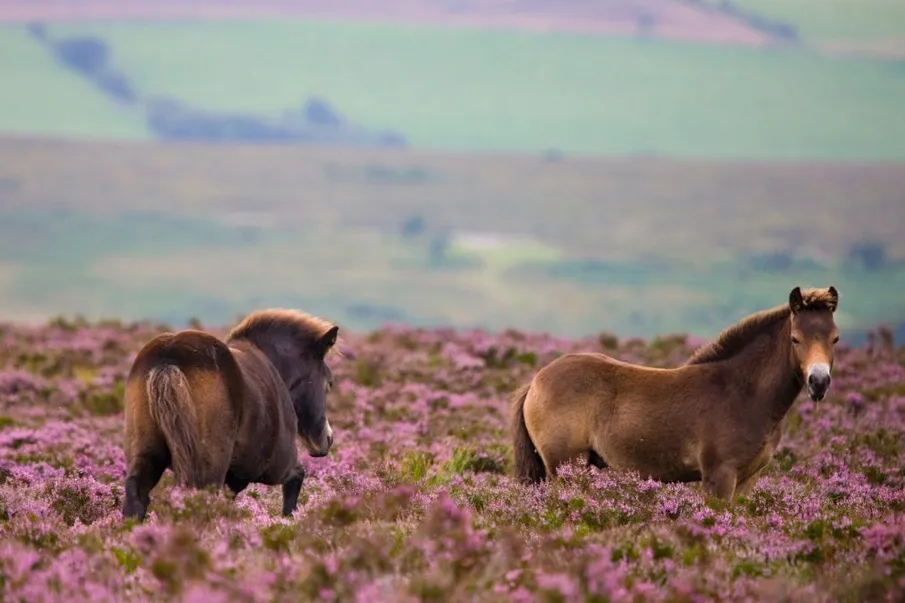
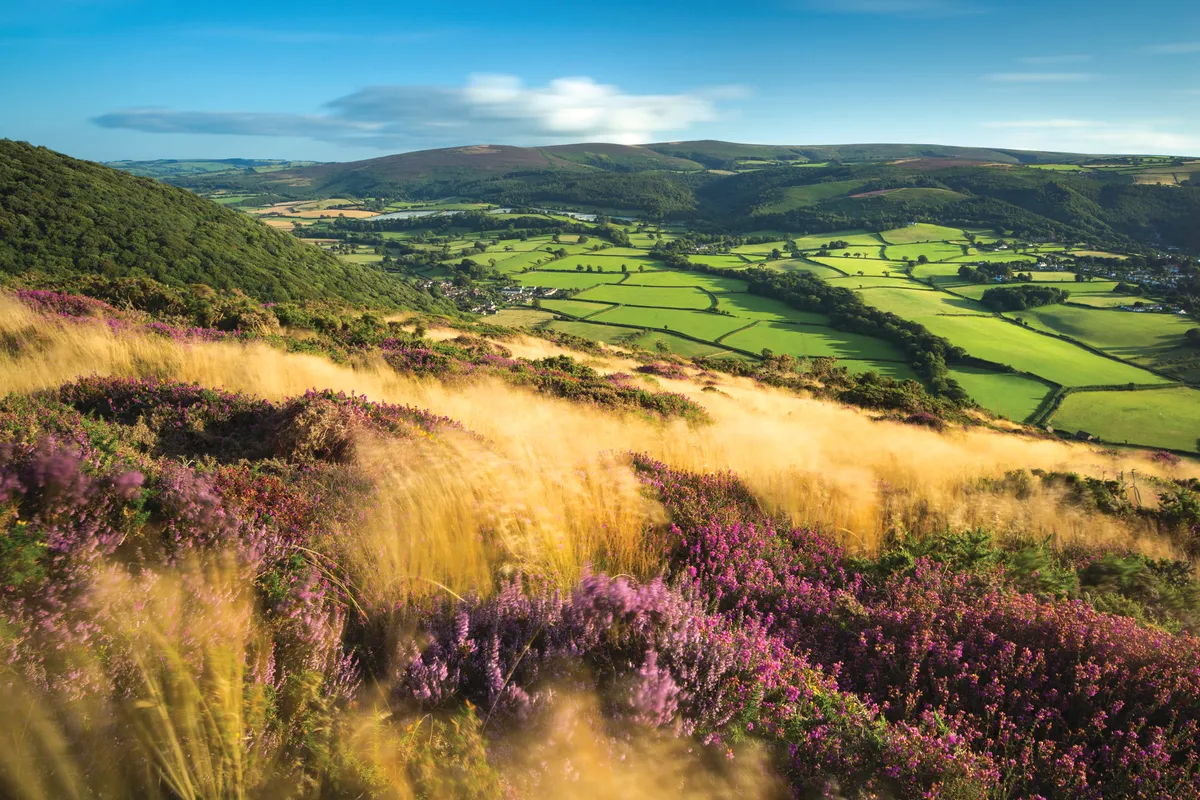
For a glimpse into Britain’s prehistoric past, scale the wild heights of Exmoor National Park to meet some of its earliest extant inhabitants: distinctive ponies that have grazed its heather-clad flanks for thousands of years.
According to the Exmoor Pony Society, founded a century ago in 1921 to preserve the now-rare horse breed, this ancient race remains virtually unchanged since the last Ice Age.

Exmoor ponies
A long forelock and mane shield its neck from rain and snow, fleshy pads – known as ‘toad eyes’ – protect vision and, in winter, its two-layer pelage – a short, woolly undercoat and thick, greasy outer coat – provides necessary warmth and water resistance.
On a raw winter’s day, an encounter with a herd roaming Dunkery Beacon, the highest point in Somerset at 519m, echoes the experiences of our distant ancestors some 10,000 years ago. Dunkery is close to Minehead and Dunster, also magical in winter.
Dunkery Beacon walk
1. Lanes and dells
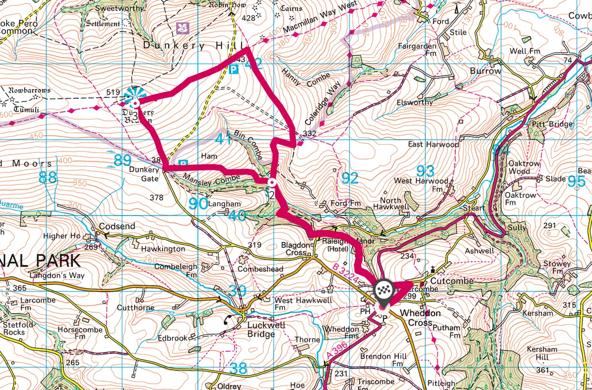
Turning left from Wheddon Cross car park over the crossroads, fork right at the war memorial and left on to Higher Park Lane. After 250m, turn left at the quill waymark, signed Dunkery Hill Gate.
Descend through fields, cross the A396 and follow the driveway opposite; take the second bridleway to the right, another right-fork down into woods alongside Raleigh Manor, then climb steps on
to Tom’s Path. Cross a lane (Drapers Way) and emerge from the pinewood through a gate into a steeply sloping field.
Hop over a stream in a narrow combe, then veer right into Blagdon Wood. At the four-way fingerpost, turn sharp right (for Dunkery) steeply down to the valley floor. Go left to follow the stream, crossing side rivulets to reach a ford and signpost.

2. On to the moor
Take the left-hand track that climbs out of the combe going west across open ground above the River Avill, through two sparse hedges. After 500m, turn right through another hedge then left, climbing west still through a final hedge to reach Dunkery Bridge and a small car park.
Turn right along the road for 75m, then take the clear path left, rising north-north-west across open moor to the cairn marking Dunkery Beacon. On a clear winter’s day, views unfold north to Porlock Bay and beyond to Wales; keep a look out, too, for red deer and Exmoor ponies grazing the surrounding slopes.

3. Snowdrop Valley
Take the track right (east), cross a road then, 300m beyond, turn right on to the path descending south. Turn right at the field boundary and follow it as it veers left, dropping steeply back to the signpost beneath Blagdon Wood, retracing your steps to Drapers Way.
To reach ‘Snowdrop Valley’ – private woods flanking the Avill that, in February, open for the public to admire a pristine carpet of white flowers – turn left and follow the lane for 500m. Otherwise, follow
the quill waymarks back to Wheddon Cross.
Map
Dunkery Beacon walking route and map
