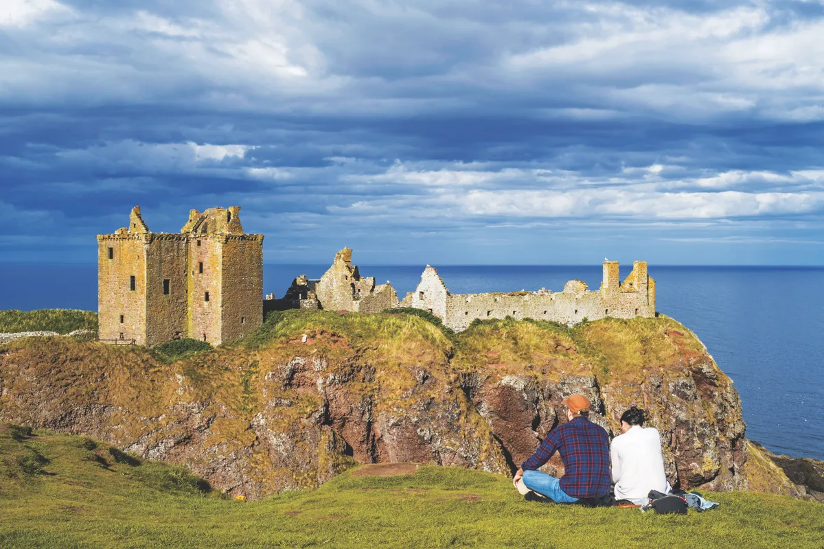
Perched high on a rocky peninsula, with sheer cliffs rising up from the crashing North Sea on all its sides but one, Dunnottar is perhaps the most dramatically located castle in the entire British Isles.
A small wooden church – one of the first Christian buildings in all of Pictland – was built at Dunnottar during the 5th century AD by the missionary St Ninan. By the 9th century, King Donald II ruled here from a small fort, until Vikings killed him and razed the buildings to the ground.
Over the late-13th and early-14th centuries, Dunnottar continued to be the site of violent battles between the Scottish and English. The land changed hands between the two hostile forces, who often destroyed the buildings with fire. By the end of the 14th century, the Keith family, one of the most powerful in Scotland, owned the castle. Over the next century the family extended and fortified the buildings, many of which still stand today.
Discover more outdoor inspiration
For eight months between 1651 and 1652, Oliver Cromwell laid siege to the castle, hoping to seize the Honours of Scotland, the country’s equivalent to the crown jewels. However, much to his annoyance, they had already been smuggled out and buried at nearby Kinneff Old Church.
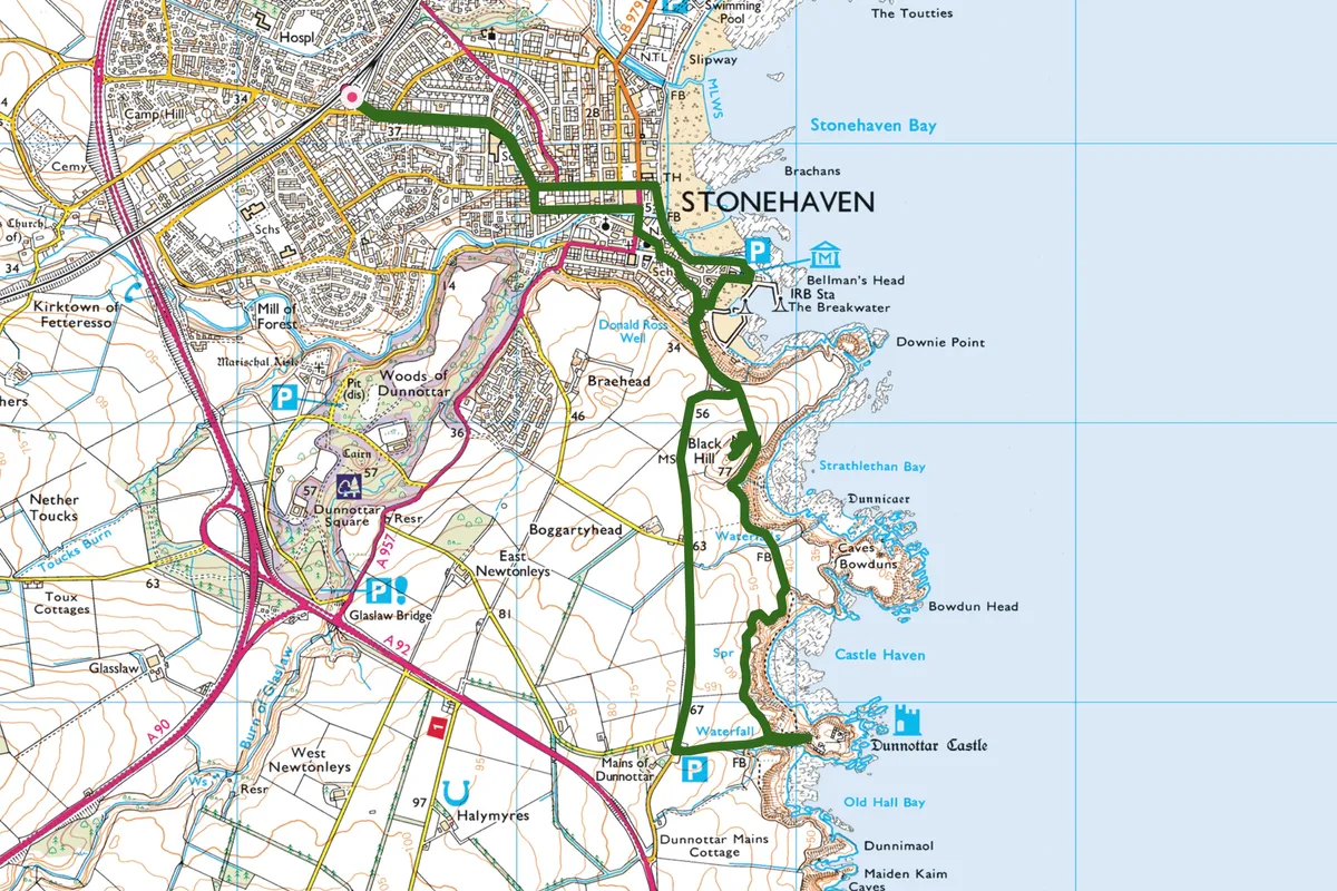
A short but invigorating walk runs from Stonehaven to Dunnottar, navigating steep climbs and a great number of steps to the castle. Look out for cormorants, curlews and fulmars along the rocky shores. If you’re lucky, you may even catch the odd sighting of dolphins, seals and whales in the cold North Sea waters. Both the coastal path and the castle are a photographer’s dream and, as the sun doesn’t rise until after eight o’clock at this time of year, walkers can experience the glory of the golden hour after a hearty breakfast.
Dunnottar Castle walk
5.2 miles/8.4km | moderate | 3.5 hours
1. Stonehaven start
From the train station, follow the signposted route down Arduthie Road, past Arduthie School, in the direction of the market square. The road bears left at James MacDonald Funeral Directors, becoming Evan Street; keep to this route until you see the town hall and market square. There are plenty of shops and cafés here supplying sustenance for the walk ahead.
From the market square, take one of the through roads down to the seafront and follow the path south. The route crosses over Carron Water on a footbridge.
2. Harbour life
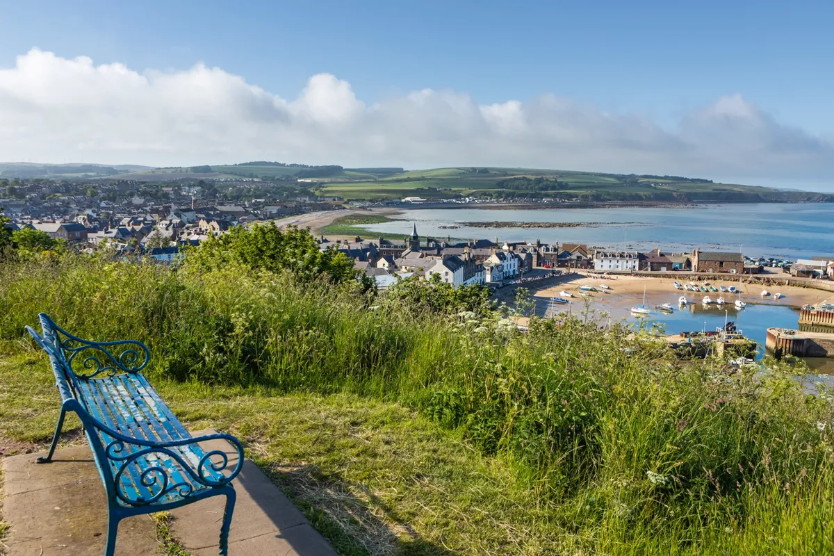
Once over the bridge, keep to the beach-front boardwalk, looking out for seabirds, seals and, if you’re lucky, dolphins. You’ll soon come to the harbour car park – an alternative starting point for the walk. Go through the car park past the toilets, then turn right at the Tollbooth Museum, open on weekends in autumn and winter. The museum offers an insight into the history of Stonehaven and the 428-million-year-old fossil that was found at the village of Cowie just outside the town. Follow the bay south past the Marine Hotel until you see a brown sign on the wall of Wallace Wynd pointing you up towards Castle Street.
3. Above the bay
Turn left up Castle Street, continuing through the houses to meet a path and steps. Veer left, emerging on to Bervie Braes, an often-quiet coastal road with great views over the town and harbour. Follow this in the direction of the sea before a tarmacked path leads you off the road to the left. Ahead on Black Hill you’ll see the Stonehaven War Memorial rising like a giant stone crown from the hillside.
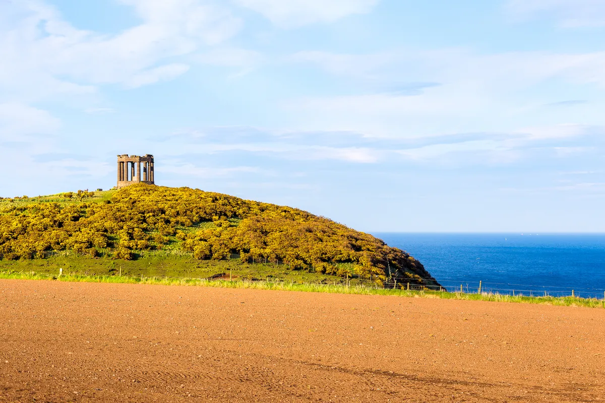
The memorial can be reached via a short diversion off the main path. After exploring the memorial, continue on the path as it curves around the bay towards Dunnottar Castle. Weather permitting, the ruins should now be in full view across the headland.
4. Stacks and islands
The path to the castle cuts to the right across the headland. To the left along the rugged coastline you’ll see a number of sea stacks, including Dunnicaer, where Pictish stones were found in 1832. These were thought to have come from a promontory hill fort dating between the 2nd and 4th century AD that once stood here before the land all but eroded away. Now the stack stands as an island, accessible only to seabirds.
Follow the path around Castle Haven Bay, with more dramatic coastal views and, of course, the castle ahead. Photographers might note that some of the best shots of the castle can be taken from the top of the steps before heading down and then up to the castle.
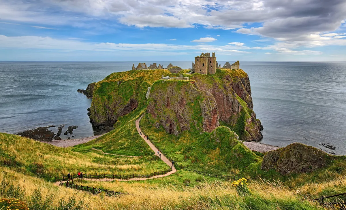
5. Inland return
The castle ruins are quite extensive and well worth the entrance fee. You can return back the way you came or, for a circular route, follow the road behind the car park back to town. The road is not too busy and there is a pavement most of the way.
Dunnottar Castle
Click on the map below for an interactive version of the route.
