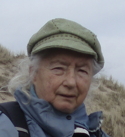
Lying within Eryri (Snowdonia) National Park, Gwydir Forest Park is an area of mixed woodlands, hills and lakes split by the rivers Llugwy and Lledr.
This walk from Betws-y-Coed takes you to the upland lake of Llyn Elsi deep in the forest.
It returns via the Roman road that linked Caerhun near Conwy with Carmarthen, and a path beside Afon Llugwy.
Looking for more walks nearby? Check out our guides to the best walks in Snowdonia, Pembrokeshire and the Brecon Beacons.
Best walks in Wales
Discover 30 of the best walks in Pembrokeshire, the Brecon Beacons, Snowdonia and more stunning landscapes with our round-up of Wales' most spectacular walks.
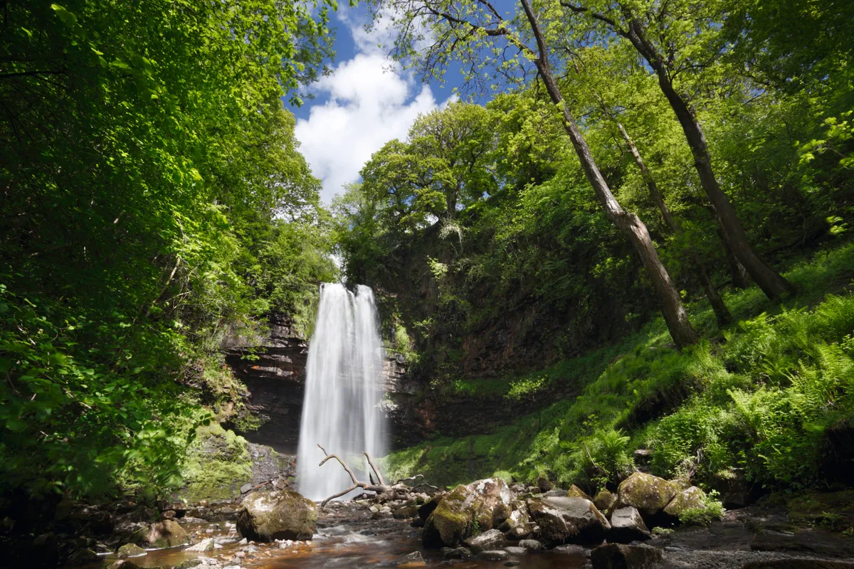
Gwydir Forest Park walk
4.9 miles/7.9km | 3.5 hours | moderate | 283m ascent
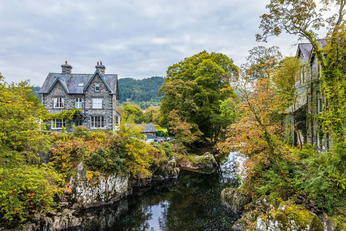
1. Betws-y-Coed
From the the main car park beyond Betws-y-Coed railway station, walk back to the main road and cross at the traffic lights. Turn right then immediately left to pass St Mary's Church on your right.
After the road curves right, take the track into Gwydir Forest Park. The route to Llyn Elsi is waymarked and, although steep at first, has resting places.
You'll pass a track on the left, keep ahead at a junction, and turn left at the next junction. Ignore tracks left and right to eventually walk downhill to Llyn Elsi.
2. Llyn Elsi
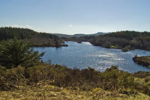
Take the footpath on the right that climbs to benches and a monument commemorating the opening of the reservoir in 1914.
After admiring the views of the lake, forest and nearby mountains, leave the hilltop by having the lake on your left.
Just before a footbridge near the dam, take a clear path on the right to a forest track. Turn left and pass a track on the right and, at a junction, bear right.
After passing a forest track on the left, turn left along the access track to Pant yr hyddod.
3. Sarn Helen
Before buildings take a signed narrow path on the right that runs besides a low wall. Climb a stile and go ahead uphill through bracken with views of Moel Siabod ahead.
Pass reedy areas and, at the forest edge, bear right to emerge on Sarn Helen, a Roman road.
4. Ty Mawr
Turn right and pass a house called Ty Mawr before crossing a forest track to go through two gates. Follow the stony track past a cottage and go over a track to descend through trees. Cross a footbridge and, further downhill, reach a road leading to the A5.
5. Afon Llugwy
Cross to a path and keep ahead to take steps descending to Afon Llugwy.
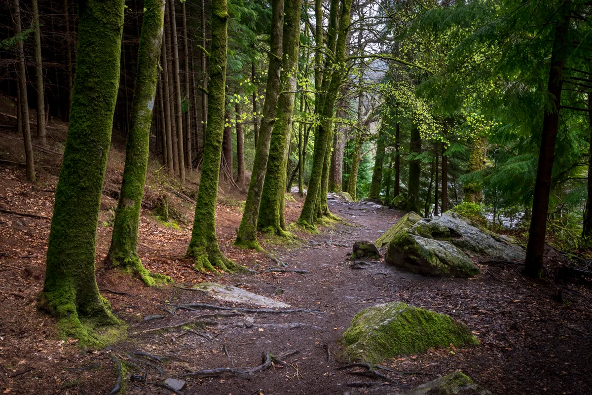
Climb the Miners Bridge and bear right through woodland and a meadow beside the river.
After entering more woodland, go up to picnic tables and join a boardwalk through tall trees to Pont-y-Pair. Cross the bridge and turn left to rejoin your outward route.
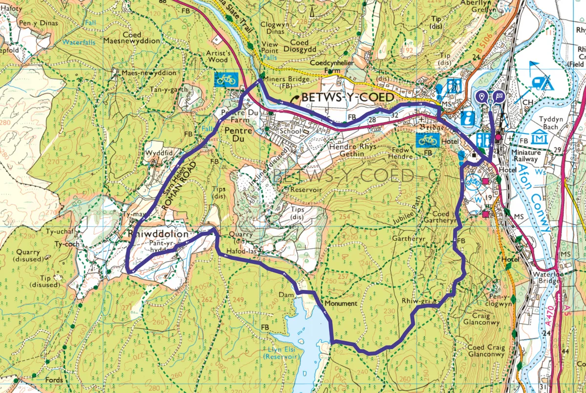
Gwydir Forest Park map
Gwydir Forest Park walking route and map
Useful information
Starting point
The main car park (fee) beyond Betws-y-Coed railway station (LL24 0AH) or take the train from Llandudno Junction.
Sherpa Bus S1 from Caernarfon and bus T10 from Bangor and Corwen stop here.
Terrain
Forest, grassland and riverside paths and tracks. Some are steep and stony.
Map
OS Explorer OL17
Eat/drink
The Alpine Coffee Shop, Station Approach, near the start (01690 710747).
Stay
The Royal Oak Hotel , a Victorian inn, in Betws-y-Coed (01690 710219).
Cwmlanerch campsite, one mile outside the village, beside the River Conwy, takes tents and motorhomes.
