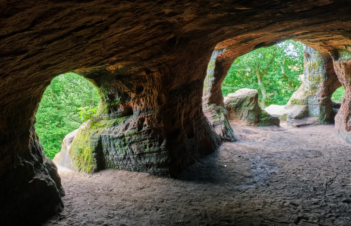
For centuries, families hollowed out Kinver Edge’s soft, red sandstone to create rock houses. Warm in winter, cool in summer, they made comfortable accommodation. In 1861, eleven families called these caves home.
The Holy Austin Rock Houses (National Trust) make a fascinating diversion on this four-mile circular route. Take in the Bronze Age hill fort, and admire the extensive views across the Black Country, Staffordshire, Shropshire, and Worcestershire. Explore Nanny’s Rock, a five-roomed cave, once home to a herbalist.
The Rock Houses are the UK’s northernmost winter roost for rare lesser horseshoe bats, while Kinver is home to lizards, long-horn cattle, and fun-named fungi like the greasy tough shank and scurfy twiglet.
Looking for more walks in the area? Check out our walking guides to the Clent Hills, Ironbridge and The Lawley.
Staffordshire walks
From the atmospheric ridges of The Roaches to the gorgeous heathlands and woodlands of Cannock Chase, here is our pick of the best walks in Staffordshire.
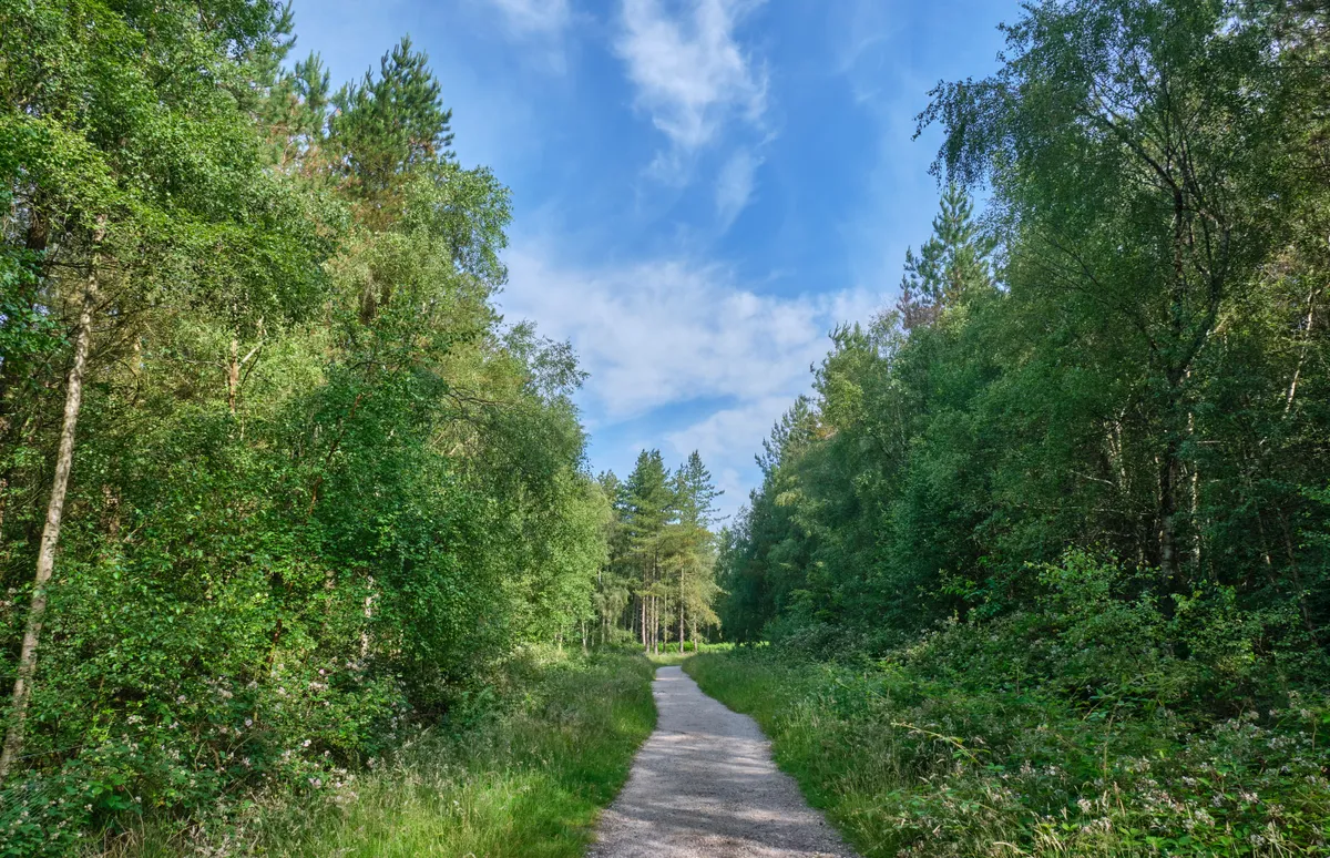
Kinver Edge walk
4 miles/6.4km | 2.5 hours | moderate | 215m ascent
1. Start
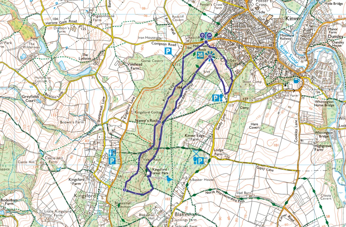
Enter Kinver Edge and fork left at an information panel onto a multi-trail waymarked path. This route follows the purple waymarkers. To visit the Rock Houses, fork left where signed, otherwise, continue ahead, climbing through the trees.
At a junction, turn right, signed to the hillfort. This climbs, eventually passing through a kissing gate. Continue ahead, ignoring side-tracks, dropping to another kissing gate. Turn right and climb. Bear right, passing around the war memorial, to a junction with a sandy track. Turn right, and climb.
Pass a plaque commemorating Kinver’s donation to the National Trust on the right. Continue through another kissing gate and climb past the hill fort to the toposcope.
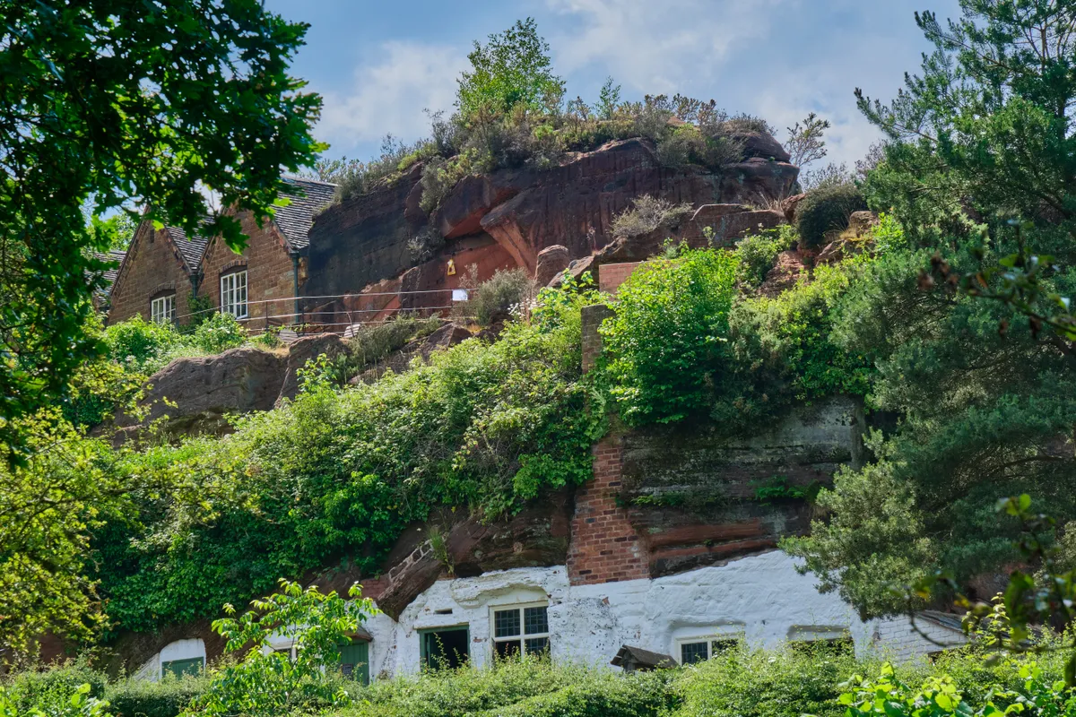
2. Kinver Edge
Clear days offer superb views of Dudley Castle, Sedgley Beacon, Brown Clee Hill, Titterstone Clee Hill, and the Amberley Hills. Follow the ridge path to the hill fort’s ramparts, then fork right.
Continue along the Staffordshire Way, to Kinver Edge’s summit trig point (164m). Drop to a junction. Continue following the purple waymarkers, ignoring side-tracks, as the path undulates. Bear right, around a fenced area, then soon after turn left, continuing through trees. At the next junction, turn right, then fork left, dropping through trees to another junction.
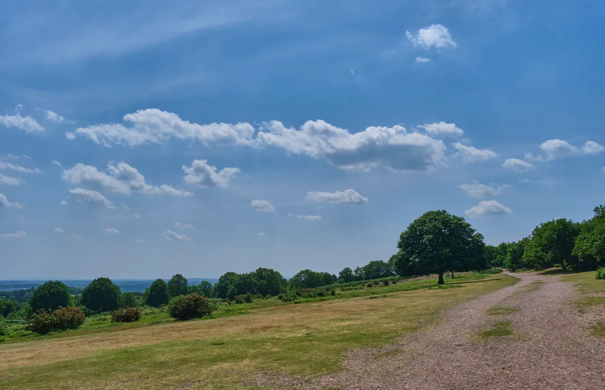
3. Vale's Rock
Turn right, keeping the wide path, then turn right at a fenced area, and climb. After a kissing gate, the climb steepens. Take another kissing gate and continue ahead, bearing right and climbing to a waymarked junction. Continue ahead to reach Nanny’s Rock.
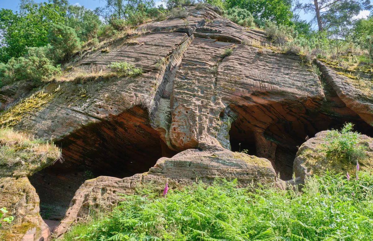
4. Nanny's Rock
Explore Nanny’s Rock carefully, especially after rain. Notice all the etchings in the sandstone.
Follow the path along the bottom of the ridge, ignoring side-tracks, before zigzagging steeply uphill to a junction. Turn left. Drop to a junction and bear right, signed to the Rock Houses, to return to the car park.
Kinver Edge map
Kinver Edge walking route and map
Useful Information
Starting Point
Free parking at Holy Austin Rock Houses Compton Road car park, DY7 6DL. (Grid Ref: SO835836)
Terrain
Mostly wide tracks, woodland paths, some steep in places.
Map
OS Explorer 219
Eat/Drink
National Trust Tea Room at Rock Houses. (Only accessible via steep steps.)

