Ranscombe Farm is a tenant-farmed nature reserve on the edge of Cuxton. The mosaic of farmland, grassland and woodland is a haven for rare wildflowers, which in turn support an array of other wildlife. Look out for fallow deer, skylarks, six species of orchid and signs of dormice.
This 5.5-mile circular walk explores the key areas of the reserve before passing through the adjoining Cobham Park, with the striking Darnley Mausoleum and ancient trees.
Discover more walks in Kent
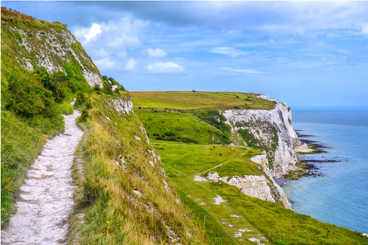
From Dover's staggering White Cliffs and the bustling seaside towns of the east coast, to the peaceful banks of the Medway River and the ancient remains of Coldrum Long Barrow, Kent has many landscapes worth exploring – discover them on foot with our favourite county walks.

Ranscombe Farm walk
5.8 miles/9.3km | 3.5 hours | moderate | 165m ascent
1. Ranscombe Farm car park
From the car park, follow the lane uphill; this soon levels out. After 250m, turn left on the North Downs Way.
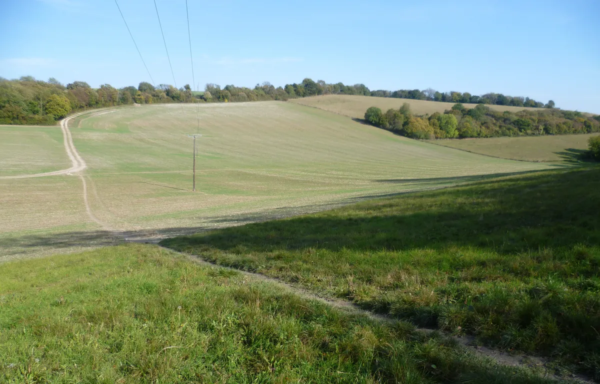
The path drops down to a kissing gate; here, turn sharp right into a large field and follow the path uphill, listening for the song of the skylark. The track soon bends left to reach a woodland.

2. Mausoleum
Go left along the edge of the woodland, keeping the trees on your right. Look out here for woodpeckers and carpets of bluebells. After 700m, turn right at a T-junction at the far end of the field. Shortly, fork right uphill.
At the top, ignore the kissing gate and turn left on a path. Soon go right through a gate to reach the mausoleum.
3. Cobham village
Turn left at the mausoleum along the track beside the building. Cross a cattle grid and, after about 500m, turn right through a kissing gate.
For a cosy pub lunch, divert by keeping ahead on the track and subsequent lane to the historic village of Cobham. Back on the walk, cross the footbridge and fork right across the golf course. Soon re-enter Cobham Woods and follow the left fence line.
After 750m, go over a crossing of paths through a kissing gate. Proceed through a squeeze stile on the bend of the path and cross a field to a stile in the corner.

4. Albatross Avenue
Turn right on the track and fork right uphill through a gate, keep an eye out here for signs of fallow deer. At a cross tracks, turn left on the track signed for Albatross Avenue.
Just before some metal fencing, turn right at the noticeboard. Follow a track and soon keep ahead through a white gateway. Turn left here to skirt around a field.
After 400m, bear left following the signs for Merrals Shaw. Continue on this path, ignoring any turns off. Soon descend into, and then climb out of, a dip. The main path will then bear round to the right to reach the lane that you were on earlier. Turn left to return to the car park.
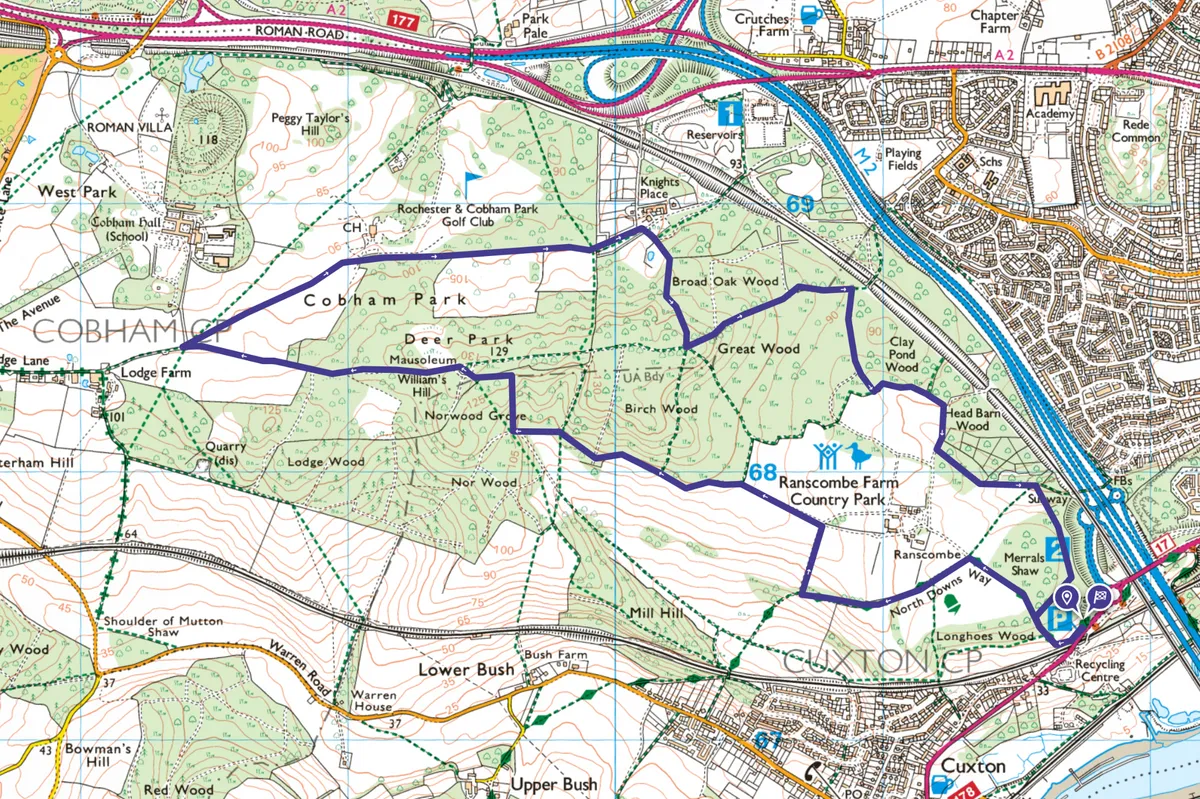
Ranscombe Farm map
Ranscombe Farm walking route and map

Useful information
Starting point
The main car park is just off the A228 on Sundridge Hill, Cuxton. Postcode ME2 1LA. Buses 140/141/151 run nearby. The nearest train station is at Cuxton.
Terrain
Mostly footpaths and tracks. Stiles. Can be muddy in season.
Map
OS Explorer 163.
Eat and drink
Cobham has several walker-friendly pubs, including the Leather Bottle, built in 1629 and frequented by Charles Dickens. It also offers accommodation.