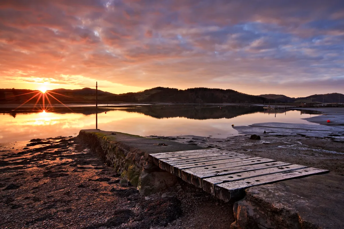
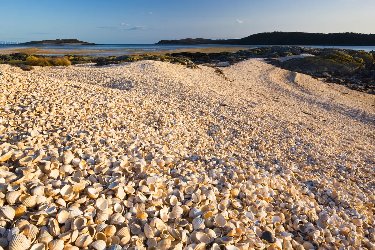
Firth, between Kippford and Castle Point, where Urr Water meets the Solway Firth, is blessed with a variety of habitats. Ancient broadleaf woodlands burst with wood anemones and bluebells; well-tended meadows erupt with daisies, dandelions and insect-friendly grasses; and vibrant yellow gorse flowers line the coastal headland like floral beacons.
There are numerous viewpoints from which to survey this colourful landscape: The Muckle’s gorse-topped summit, 100m above sea level, is ideal for little legs; the small peak of Mote of Mark is the perfect prelude to a picnic in the flower meadow below; and then there’s Rough Island (accessed only at low tide and closed in May and June to protect ground-nesting ringed plovers and oystercatchers).

Rockcliffe to Kippford walk
4 miles | 2 hours| moderate
1. Bluebell Bound
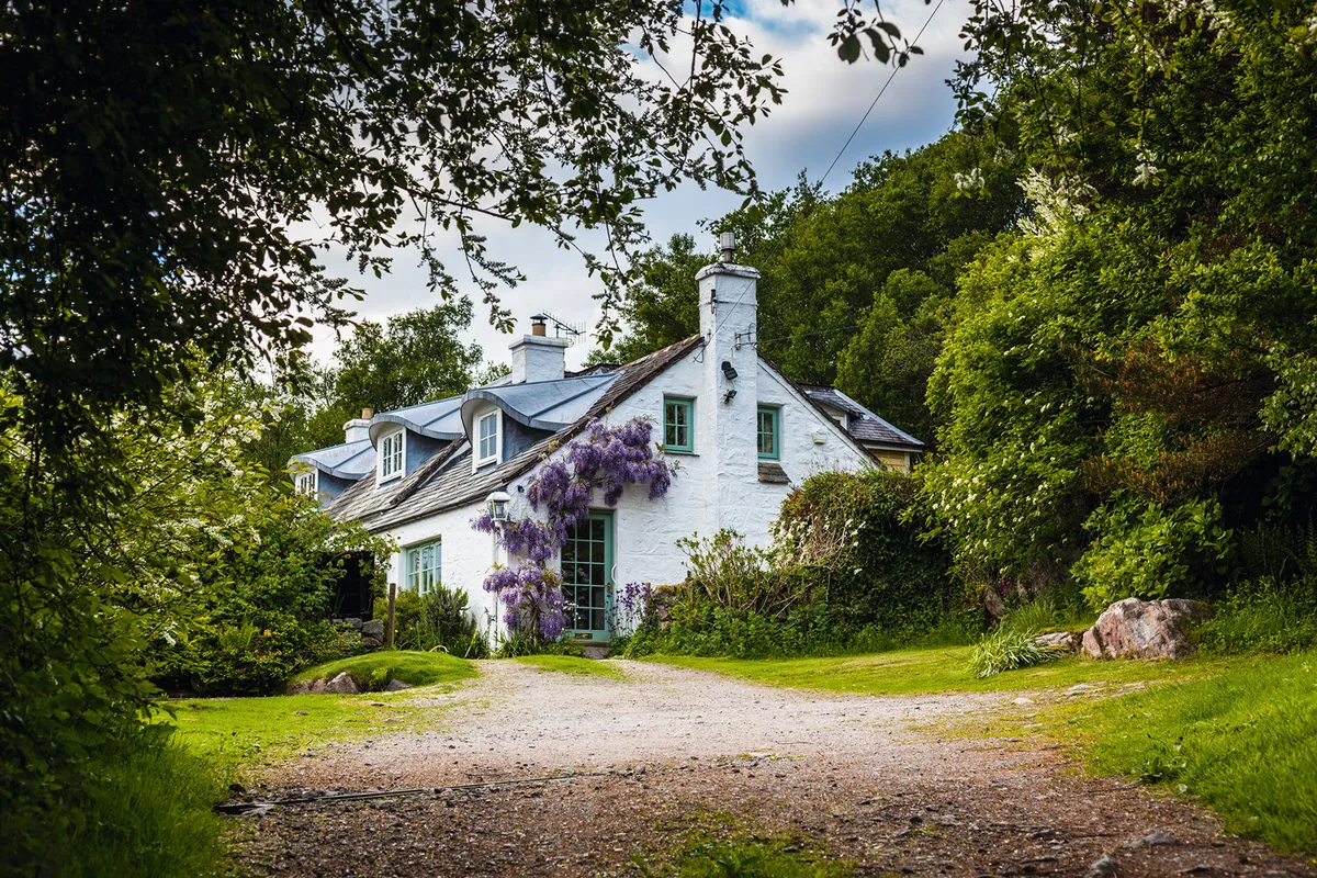
Start from the car park on the outskirts of Rockcliffe and follow a road along the village beach to a bus stop and some parking bays. Turn right on to a pathway, which passes behind several properties, then cross over a wide track to emerge into a field. Fork left, before joining a track that passes in front of two cottages, and continue towards a wisteria-clad cottage. Turn right and pass behind this property, then climb into a clearing, bursting with beautiful bluebells.

Follow this obvious path to a junction, then turn sharp right, climbing to the Jubilee Path – the way commemorates Queen Victoria’s golden jubilee. Turn left here, looking out for red squirrels as you pass through the bluebell woods to a tarmac lane, before dropping gently into Kippford.
2. Island Hop
Once a busy shipbuilding and repair centre, Kippford is now a popular base for visiting Rough Island bird sanctuary – at low tide, you can follow Roughfirth Road for 900m to the island’s stone causeway. From Kippford, retrace your steps along the Jubilee Path.
3. Muckle Mound
After 0.5 mile, turn sharp left to climb to the summit of The Muckle for glorious views across the estuary. Return to the Jubilee Path and turn left through more bluebells.
4. Mark’s Mote
Reaching a major junction of paths, turn right, signed to Mote of Mark. Go through two sets of gates, and then take a path on the right to climb to the summit of the hill. This was once a trading post in the Dark Ages and believed to be named after the 6th-century King of Dumnonia.
Retrace your steps, turning right at the path junction to pass through a gate into a flowery meadow. In spring, this National Trust for Scotland reserve buzzes with butterflies and other insects. Cross a stream and bear left, then fork right to a gate in the corner. Turn right on to a tarmac lane, then right again, back to Rockcliffe’s beach.

4. Castle Point
For an additional two-mile wander along this glorious coastline, take the private road signed Castle Point, near the main car park. Pass several houses and, where the track bears left, turn right on to a waymarked route running parallel to the beach.
The path turns inland briefly beside Joseph Nelson’s grave. Nelson was a crew member of The Ann, which sank on 2 January 1791, and it was here that his body was washed ashore some six months after the wreckage on 20 July 1791.
From here it’s a short stroll through the golden gorse bushes, followed by a brief climb to the summit of Castle Point, with its magnificent views across the Solway Firth to the Cumbrian Mountains. What better vista to round off a blooming marvellous walk?
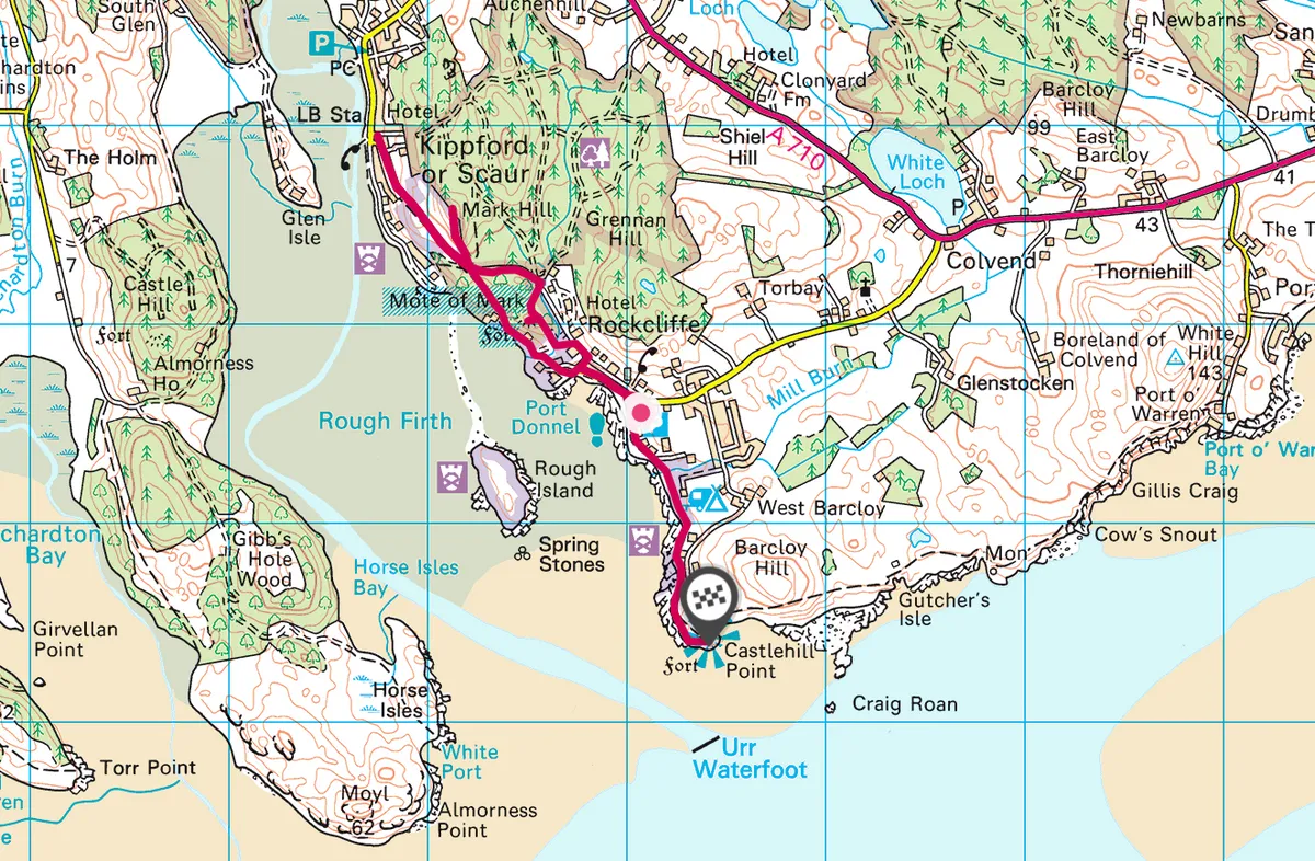
Rockcliffe to Kippford map
Rockcliffe to Kippford walking route and map

Main image: Summit of The Muckle/Credit: Simon Whaley

