Scotland is a walker's paradise. One day you could be hiking in the Scottish Highlands, the next walking along the white sands of a remote beach.
There is also a more unassuming side to Scotland's trails, with quiet valleys and accessible foothills, making it the perfect walking retreat for all abilities and families.
Here is our pick of the best day walks and hiking routes in Scotland, including the Scottish Borders, Highlands and Scottish Isles.
Looking for more walks in the UK? Check out our favourite walks in England, Wales and Northern Ireland.
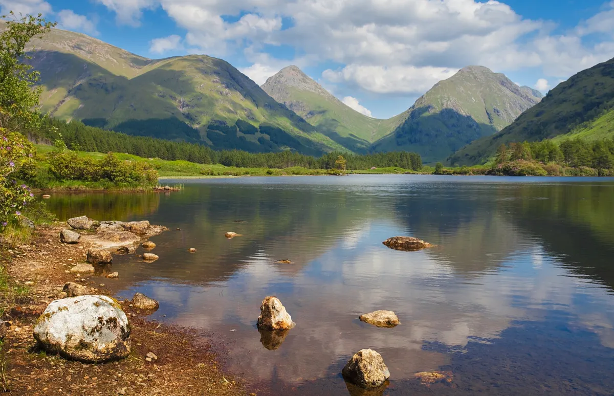
25 spectacular walks in Scotland
Beinn Eighe, Highland
4 miles/6.5km | 3.5 hours | moderate
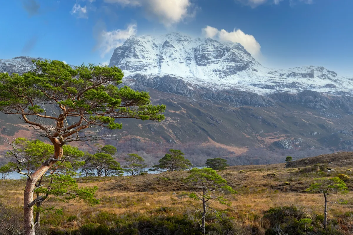
It’s not every day you get to climb a nature trail through ancient forest and on bare rock to enter an exposed, windswept lunar-like landscape of ice-scraped quartzite slabs. It’s not every day you get to walk in the company of golden eagles, sea eagles, red deer and, if you’re very lucky, pine martens and rare Scottish wildcats. But then, it’s not every day you get to visit Torridon’s Beinn Eighe, Britain’s oldest and one of its highest National Nature Reserves.
This is a land of superlatives, as hikers discover on the ‘Mountain Trail’ that climbs to 560m on its north-eastern flanks – the country’s only waymarked mountain walk.
Beinn Eighe walking route and map
Ben Nevis, Highland
9.7 miles/15.6km | 6-10 hours | challenging
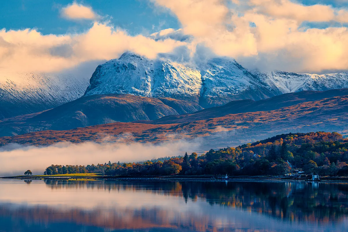
The path to Ben Nevis starts close to sea level and involves a huge vertical ascent to reach the summit at 1,345m (4,413ft). Initially a good, wide path ascends the lower slopes but this deteriorates on the higher, rougher, granite boulder-and-scree-strewn ground below the summit.
Experienced walkers should complete the return route in five to six hours, others may take up to ten hours. Competency in mountain navigation is essential.
During the winter months and into early summer, when snow still covers the upper part of the mountain, you may also need an ice axe and crampons – and know how to use them. Mid to late summer is the best time for an ascent.
Ben Nevis walking route and map
The Quiraing, Isle of Skye
3.4km/2.1 miles | 1.5 hours | moderate

The Old Man of Storr is kept company by other rock spires, collectively called the Sanctuary. These pinnacles and their brothers on the Quiraing were formed as the result of landslips that occurred on the 19-mile long escarpment. Gravity caused the immense weight of the upper volcanic layers of the Trotternish ridge to dislodge the weaker underlying sedimentary rock layers.
Now the entire escarpment can be walked as part of a very long outing, but most walkers might find it easier to explore the broad ridge on a shorter ramble.A two-mile hike to the peak of the unique and breathtakingly dramatic Quiraing on the Isle of Skye.
Quiraing walking route and map
Glenfinnan, Highland
17km/10.6 miles | 6 hours | challenging
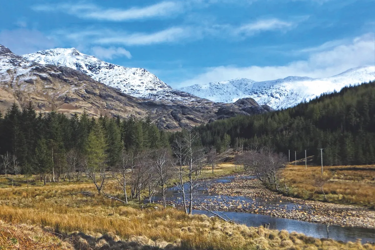
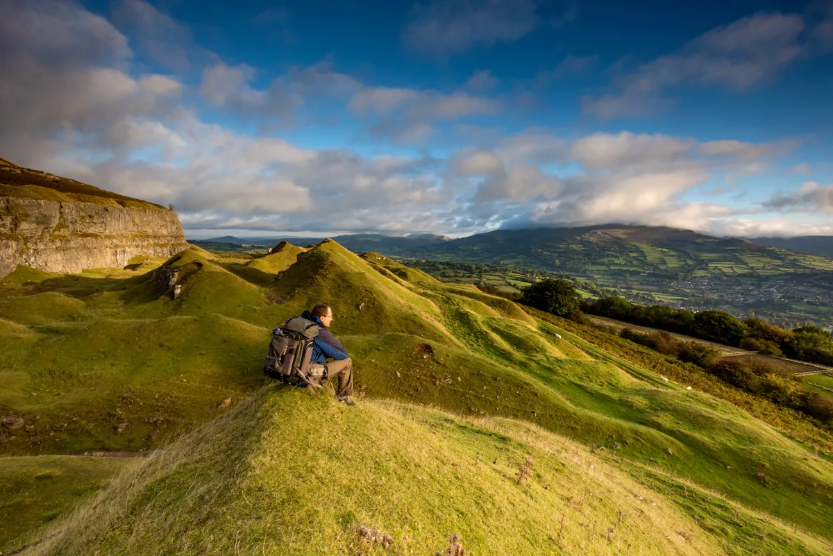
Gothic in style, the Church of St Mary and St Finnan stands like a stoical watchman over the mountain-flanked waters of Loch Shiel, surely one of Britain’s most enchanting landscapes. Seek refuge from the cold inside this majestic churches, then venture into the Highlands past the wizards’ railway to the dramatic mountain pass of Bealach a’Chaorainn.
Glenfinnan walking route and map
Dunnottar Caste, Aberdeenshire
8.3km/5.1 miles | 3 hours | moderate
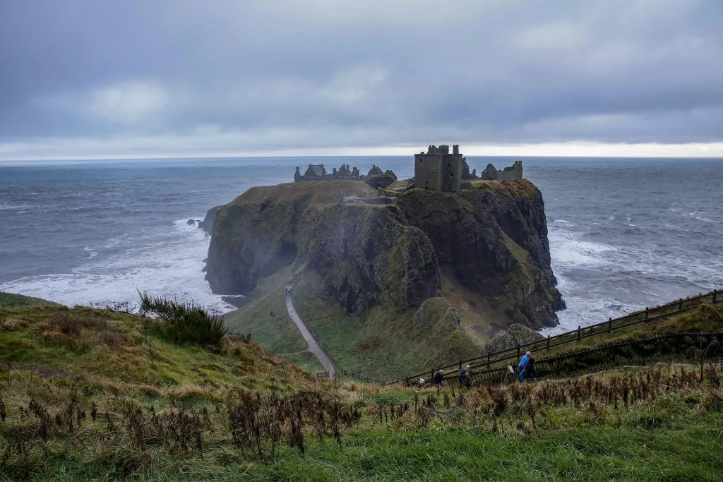
Perched high on a rocky peninsula, with sheer cliffs rising up from the crashing North Sea on all its sides but one, Dunnottar is perhaps the most dramatically located castle in the entire British Isles.
A short but invigorating walk runs from Stonehaven to Dunnottar, navigating steep climbs and a great number of steps to the castle. Look out for cormorants, curlews and fulmars along the rocky shores. If you’re lucky, you may even catch the odd sighting of dolphins, seals and whales in the cold North Sea waters. Both the coastal path and the castle are a photographer’s dream and, as the sun doesn’t rise until after eight o’clock at this time of year, walkers can experience the glory of the golden hour after a hearty breakfast.
Dunnottar walking route and map
Ben Lomond, Argyll and Bute
12.3km/7.6 miles | 4.5 hours | moderate-challenging
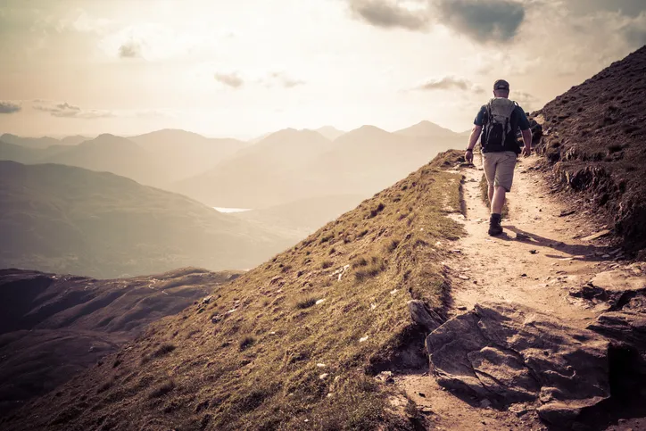
Ben Lomond is the most climbed of the Munros (Scottish mountains over 914m), not only because it’s the most southerly, but also because of the direct ascent to its 974m summit.
Climb north up the tourist path from Rowardennan, then either retrace your ascent route or take the rougher return along Ptarmigan Ridge to the west. It is a tall hill, so bring clothing and supplies for any eventuality.
Bed Lomond walking route and map
Handa Island, Sutherland
6.4km/4 miles | 2.5 hours | easy-moderate
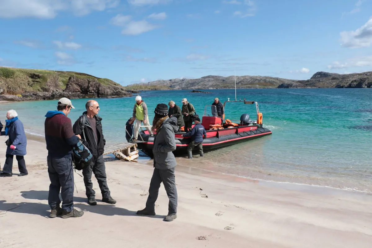
Wrapped by brutish Atlantic swells and biting winds, this remote island off the west coast of Scotland makes for harsh living. But in spring, enduring these forces is one of north-west Europe’s largest seabird colonies – guillemots, razorbills, kittiwakes, fulmars and Arctic terns nest alongside puffins and, by summer, the island reverberates with the sound of 100,000 breeding seabirds, one of north-west Europe’s largest colonies.
the Scottish Wildlife Trust’s visitor centre – a modest stone building, crammed with animal bones, old ID books and binoculars for hire – is the perfect starting point for a circular walk around the island.
Handa Island walking route and map
Steall Falls and the Nevis Gorge, Highland
3.2km/1.9 miles | 1.5 hours | moderate
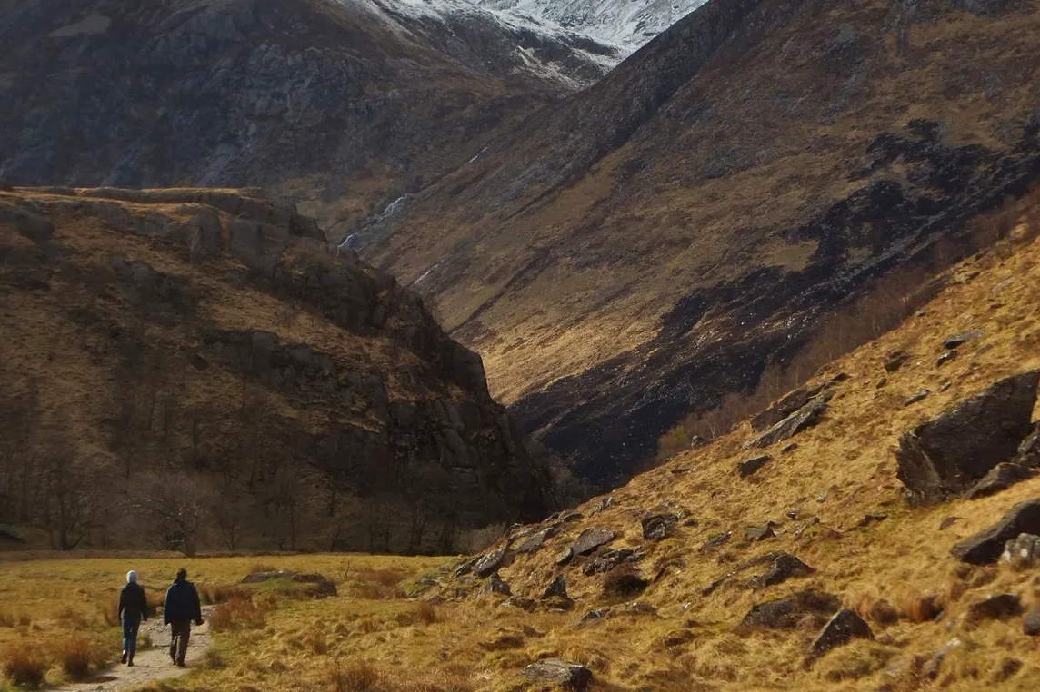
Tapering south from the Highland town of Fort William, gorgeous Glen Nevis is bounded by several high, rugged mountains, including the huge bulk of Ben Nevis, which, at 1,344m (4,409ft) above sea level, is the highest point in the British Isles.
Other iconic peaks include Sgurr a’ Mhaim and Stob Ban and the glen is a playground for mountaineers, mountain bikers and white-water rafters.
However, it is a low-level, two-mile walk through the dramatic Nevis Gorge that really packs a punch and provides an unforgettable aural and visual experience. Sections of the path can be rocky and slippery but with a little care this is a superb walk, suitable for almost everyone.
Glen Nevis walking route and map
River Braan, Perthshire
9.6km/6 miles | 4 hours | moderate
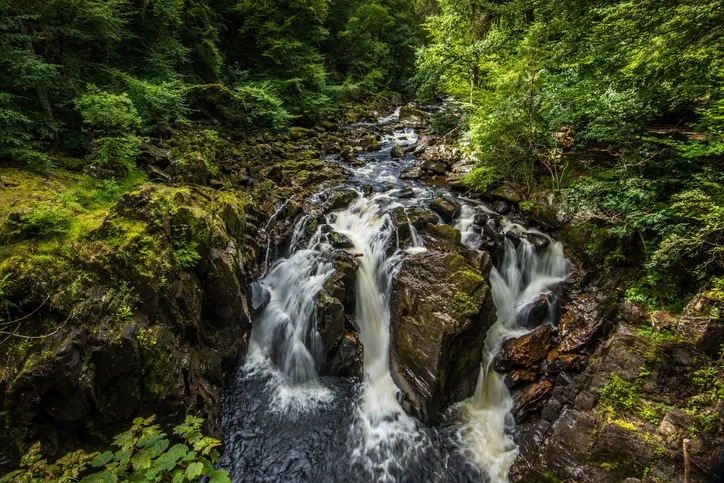
Despite appearing natural, the woods surrounding the Perthshire town of Birnam were planned by the Dukes of Atholl in the 1700s. Cutting the forest in two are the gorgeously clear waters of the River Braan, where a series of cascades descend to Black Linn waterfall before flowing into the River Tay near Dunkeld
Follow the white water of Scotland's River Braan through a fabled woodland of giant Douglas firs, fairy-tale bridges and an ancient oak immortalised by Shakespeare’s Macbeth.
River Braan walking route and map
Loch Katrine, Stirlingshire
8.3km/5.2 miles | 3.5 hours | easy-moderate

Loch Katrine has wooed artists and poets for centuries – the Wordsworths and Coleridge, to name a few. And for good reason: extending through remote country for some eight miles and overlooked by craggy hills at its southern end, it’s a place of great beauty.
Enjoy a tranquil five-mile stroll around a Scottish loch in the beautiful Loch Lomond and the Trossachs National Park.
Loch Katrine walking route and map
How to go wild camping in the UK
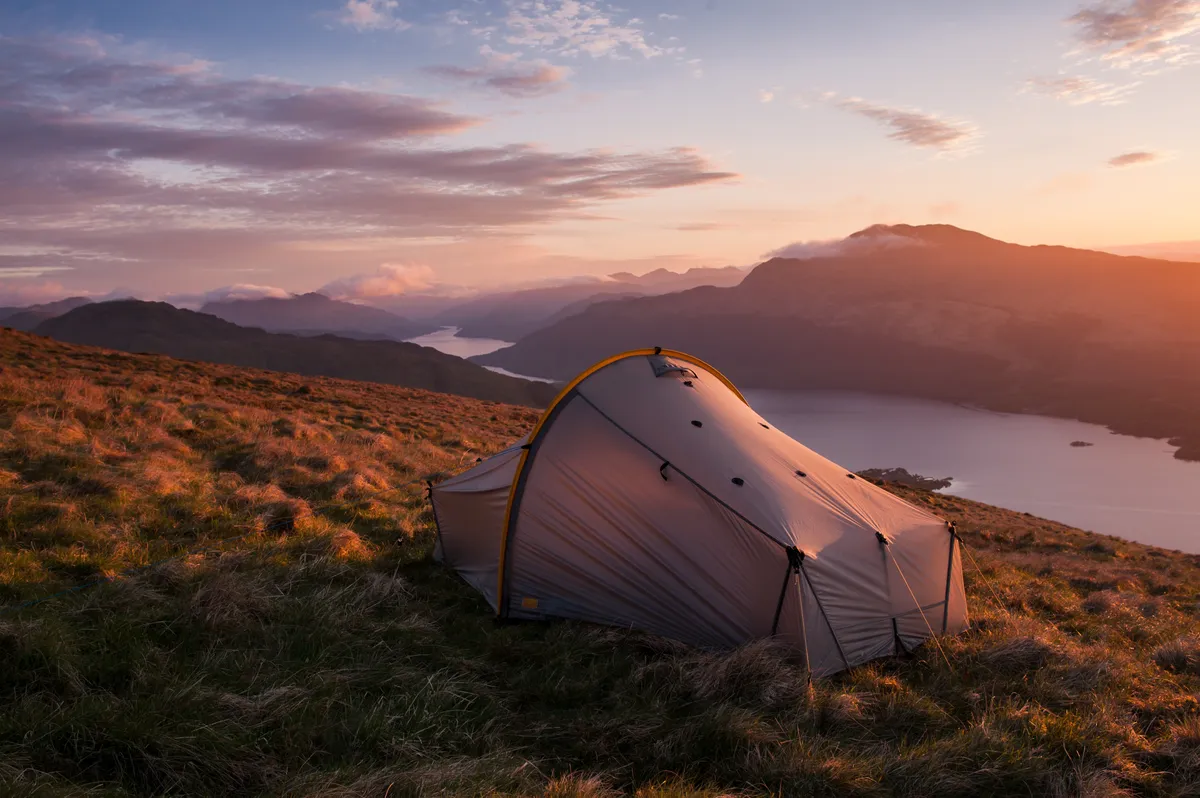
One of the great joys of wild camping is the chance to sleep under the stars in beautiful rural locations. Our essential beginner's guide shares expert tips on how to camp safely, kit to take and the best places to wild camp legally in Britain.
Glen Coe, Argyll and Bute
6.6km/4.1 miles | 2.5 hours | moderate-challenging
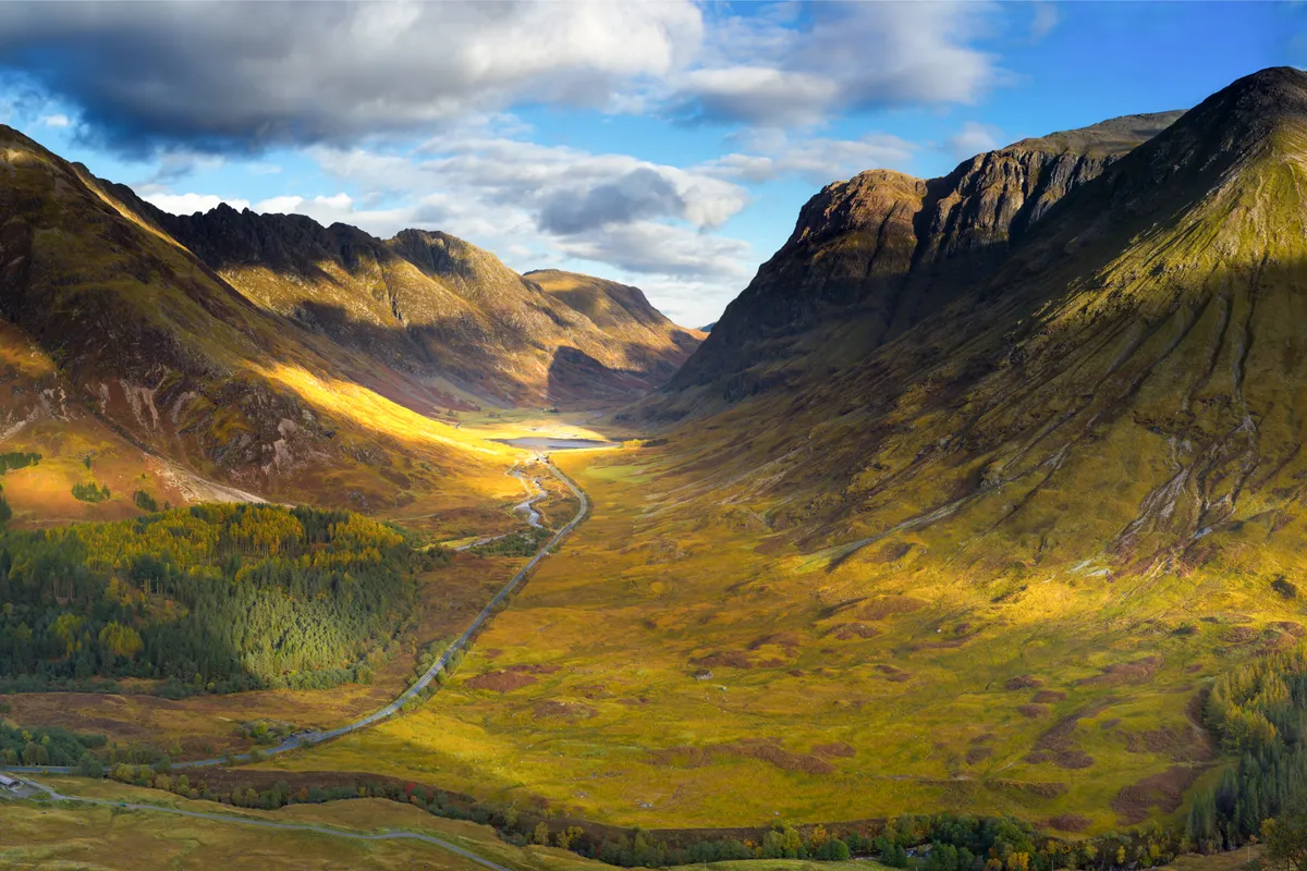
It’s claimed that the MacDonald clan used to stow their rustled cattle in the lofty folds of the Lost Valley in Glen Coe. Experience the atmosphere is this hidden gem on a beautiful mountain walk tucked away in the glorious glens of the Scottish Highlands.
Glen Coe walking route and map
Glen Affric, Highland
17km/11 miles | 5-6 hours | moderate
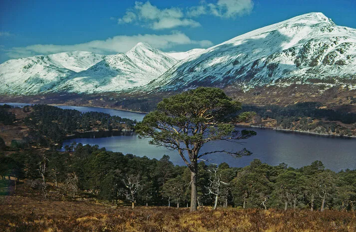
Often hailed as the Highlands’ most beautiful glen, Glen Affric not only boasts shimmering lochs and rugged mountains, but it is also one of the largest remnants of the pine forest that used to cover much of Scotland. For centuries the flanks of the glen were blanketed with birch, rowan and magnificent Caledonian pines.
Much of the forest was felled during the Industrial Revolution, but in recent decades Glen Affric has been at the centre of a determined attempt to conserve and extend the remaining woodland.
For most visitors, even reaching the start of this walk will involve a fairly epic journey to a remote part of the country. But it’s well worth the effort, as the surrounding scenery is nothing short of breathtaking.
Glen Affric walking route and map
Bennachie, Aberdeenshire
5.5 miles/8.9km | 3.5 hours hours | moderate
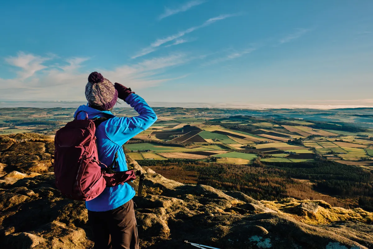
Bennachie is a prominent prospect as you travel through the hills and river valleys of Deeside, its unique profile visible for many miles around.
Rising from the flat plains of Aberdeenshire, a few miles west of Inverurie, Bennachie’s twin tops of Oxen Craig and Mither Tap grant far-reaching vistas. At 518m, Mither Tap is slightly lower than Oxen Craig (528m), but its shapely character leads to Bennachie’s Gaelic derivation ‘mountain of the breast’.
Bennachie walking route and map
Glenmore Forest Park, Highland
8.6km/5.3 miles | 3 hours | moderate
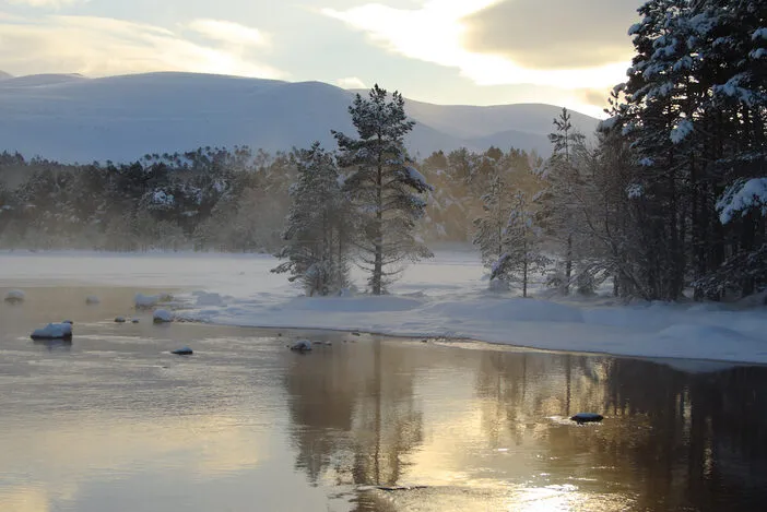
Ryvoan Pass and Glenmore Forest Park are a great introduction to the Cairngorms National Park. Peppered with Scots pine trees, gently wooded slopes give way to a wilder landscape of rocky hills and untamed moor. Many of the park’s more elusive creatures can be found here.
Glenmore Forest Park walking route and map
Sandwood Bay, Sutherland
20.8km/12.9 miles | 8 hours | challenging
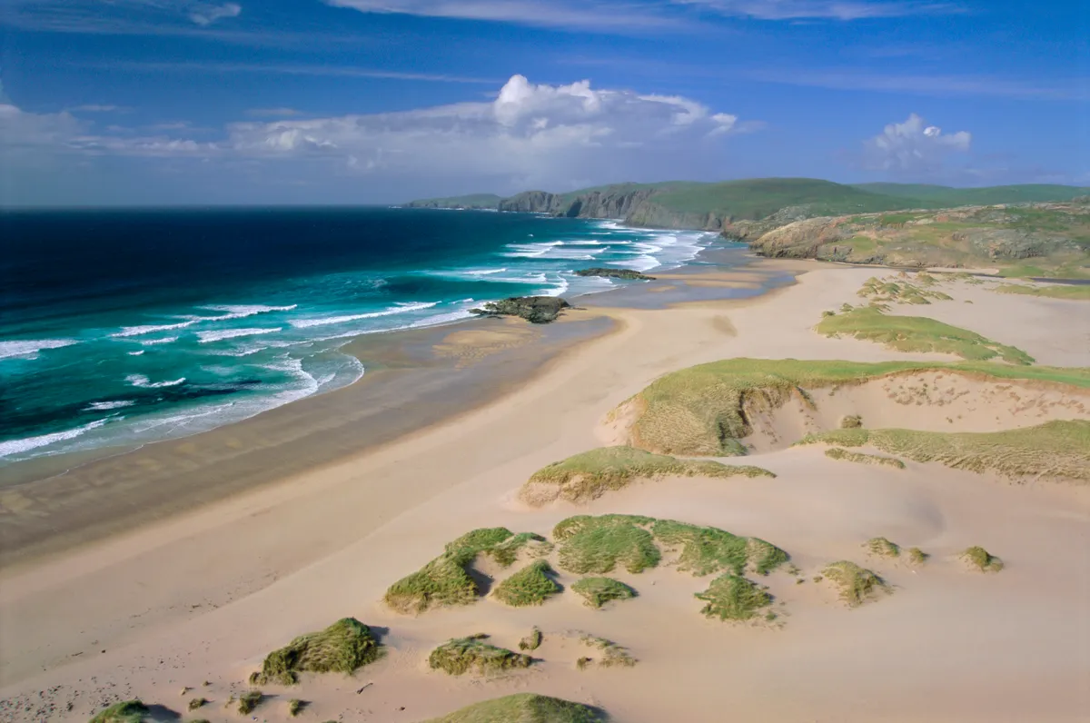
Sandwood Bay is one of Britain’s most remote and beautiful beaches. Flanked by grassy dunes and buffeted by the rolling breakers of the Atlantic, the swath of white sand is a wild and wonderful place.
The only way in is on foot and the car park at Blairmore, on the narrow road between Kinlochbervie and Sheigra, is the perfect place to start.
Sandwood Bay walking route and map
Calgary Bay, Isle of Mull
3.1km/1.9 miles | 1.5 hours | easy
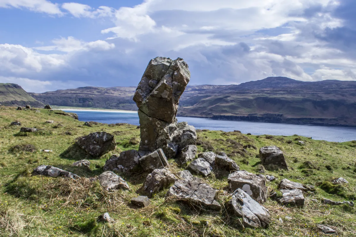
Head to the brightly coloured island capital of Mull and you’ll find comfy pubs with hidden snugs and roaring fires.
Tobermory is a firm favourite with summer holidaymakers, but it is in the winter months, when snow covers the surrounding hills, that the true magic of the town is revealed
Revel in the festive shops, illuminated streets and charming harbour of a small island town in the Inner Hebrides before taking a walk to the sandy shores of Calgary Bay.
Calgary Bay walking route and map
Loch Garten, Highland
3.8km/2.7 miles | 2 hours | easy
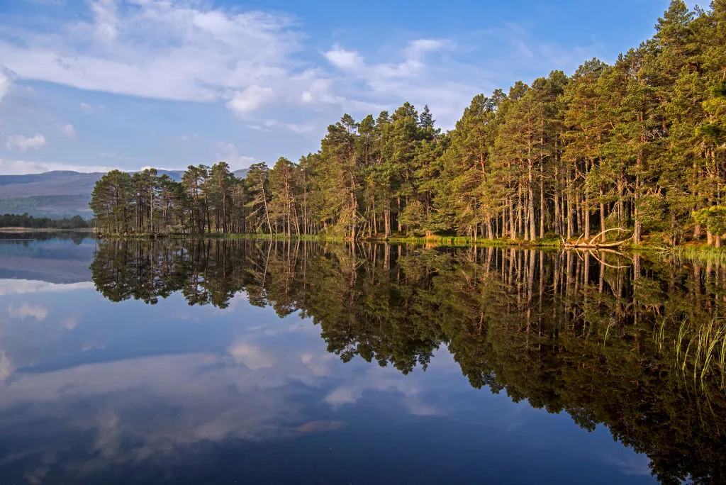
Hidden within Abernethy Forest in the lowlands of the Cairngorms National Park is Loch Garten. With its ancient Caledonian pine forest, boggy woodland and rich waters, the reserve is an embodiment of the wild and compelling nature of the Scottish Highlands.
May is an ideal time to visit. The weather is warming but the swarms of midges are yet to descend. The herby scent of pine fills the air, birdlife is abundant as summer migrants such as redstarts and tree pipits arrive, and the ospreys should be hatching their chicks – it’s a unique chance to see these graceful fish-scooping predators in action
Loch Garten walking route and map
Mabie Forest, Dumfries and Galloway
7.1km/4.4 miles | 2.5 hours | moderate
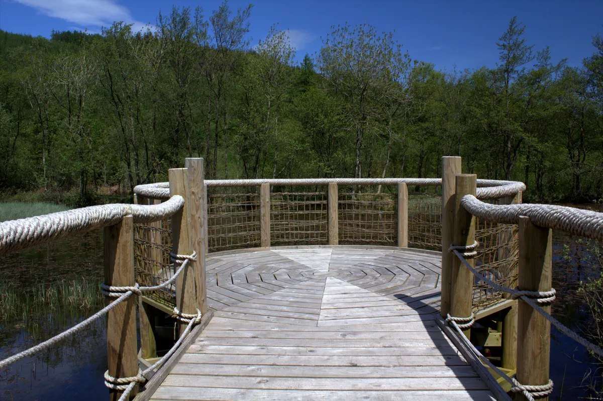
Forestry and Land Scotland’s Mabie Forest lies just outside the town of Dumfries in south-west Scotland and is managed in association with Butterfly Conservation Scotland, whose reserve – their largest – occupies 100 hectares in the middle of the forest.
Ancient oak woodland, wetlands and grassland are all here, offering ideal conditions not just for butterflies, but also bats, red squirrels, roe deer and dragonflies.
Mabie Forest walking route and map
St Abb's Head, Berwickshire
5.4km/3.3 miles | 2 hours | moderate
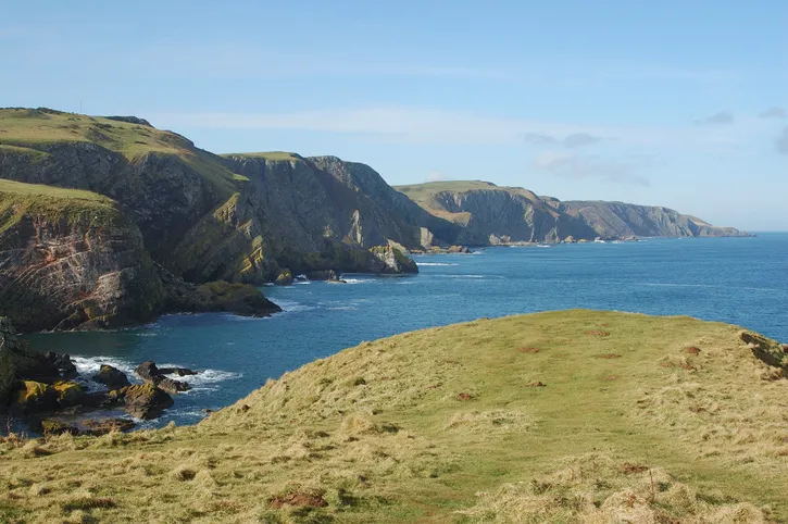
Raucous seabird colonies, ancient grassland rich in rare plants and butterflies, a sheltered freshwater lake with wildfowl and dragonflies – there’s so much to discover at St Abb’s Head.
Winter light can be great for photography, highlighting the contrast between the peninsula’s red rock and the stormy North Sea, yet it feels eerily empty without the seabirds. By early summer, however, they are back in force and the headland is throbbing with life. May is an ideal time for photographing the spectacular vistas and delicate details.
Enjoy a 5.4km walk on the coastal cliffs of southern Scotland, spotting thousands of nesting seabirds, splashes of pink thrift and maybe even otters.
St Abb's Head walking route and map
Suilven, Sutherland
8.8km/5.4 miles | 4-5 hours | challenging
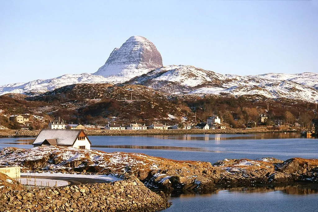
When it comes to summiting mountains, it’s all about perspective. Some are merely rounded bulges, making it easy to pick out an ascent route, even from the bottom. But then there are others – those pesky, pointy numbers – that present a perplexing problem and get us asking, how on earth can we, mere mortals, make it to the top?
Case in point is the Scottish peak of Suilven. At 731m, some 200m shy of the coveted Munro status, it’s small by mountain standards north of the border. Yet, certainly from most vantage points, it looks impossibly steep – Suilven means ‘pillar’ in Old Norse, a name bestowed to the peak by the sea-fearing Vikings.
Glen Sligachan, Isle of Skye
17.1km /10.6 miles | 6-8 hours | challenging
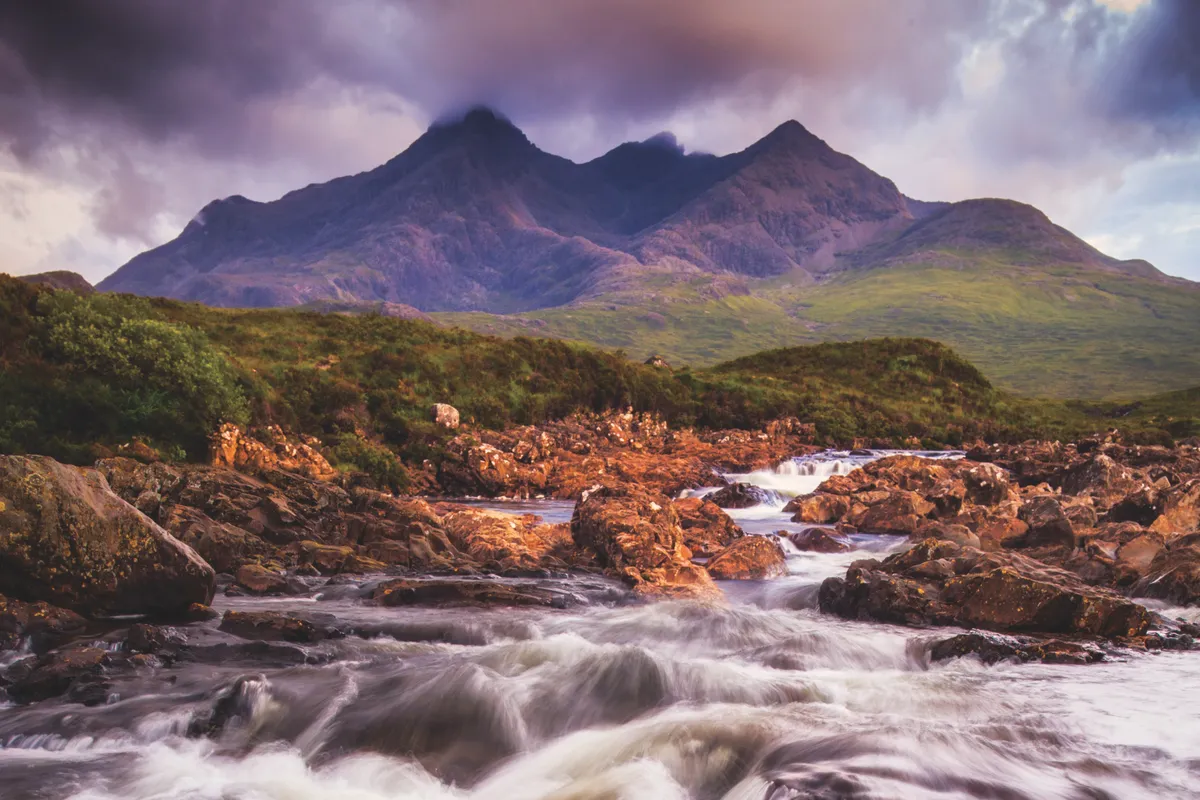
Menacing yet darkly beautiful, the jagged Cuillin Mountains are your steady companion on this remote island walk through Glen Sligachan.
Winding through true wilderness country, you’ll feel a real sense of progression as you ford several rivers, moving from one loch to the next, past herds of red deer and the dramatically located Camasunary Bay, before arriving at the houses of Kirkibost. Save it for a fine September day after a spell of dry weather – the midges will be fewer, the burns lower – and you will have a memory to last a lifetime.
Glen Sligachan walking route and map
Birks of Aberfeldy, Perthshire
4.3km/2.6 miles | 5 hours | moderate

When Robert Burns came to visit Aberfeldy in 1787, he was so impressed by the spectacular waterfalls and birch woods outside that he wrote a poem celebrating the area’s natural beauty.
Today, a 4.5 mile circular path allows you to follow in his footsteps and be equally inspired by this amazing place.
Birks of Aberfeldy walking route and map
Ardmeanach, Mull, Inner Hebrides
18km/11.2 miles | 6 hours |challenging
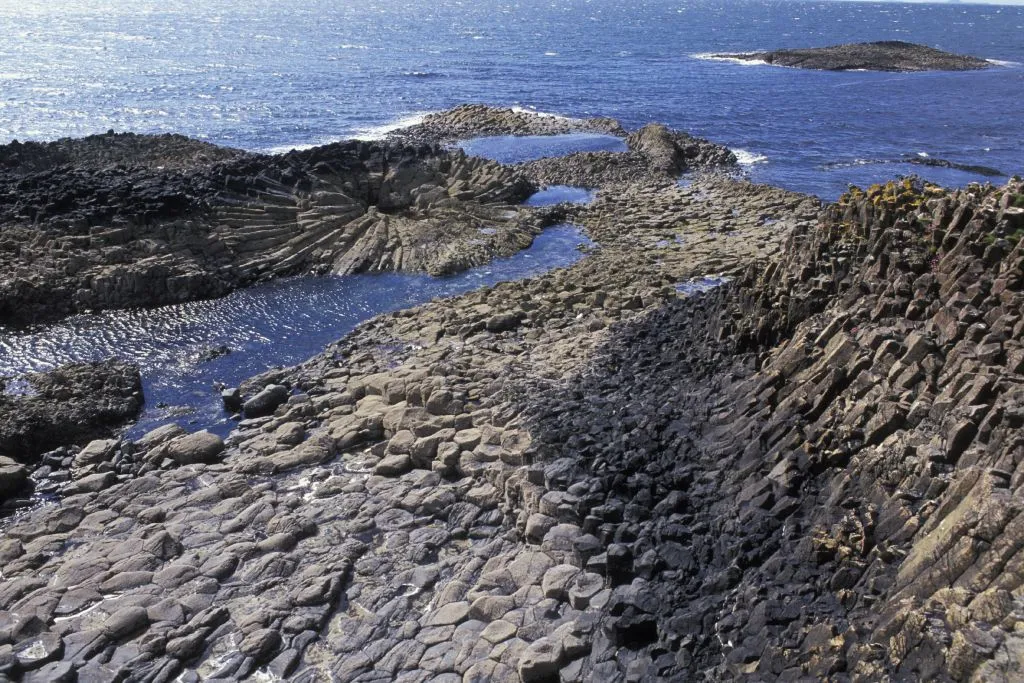
On the western coast of the Scottish island of Mull, beneath the brooding volcanic massif of mighty Ben More, lies one of the wildest environments in the British Isles.
A single-track road gives way to a logging track at the hamlet of Tiroran, navigating the southern side of the peninsula along Loch Scridain. The six-mile stretch of headland between here and the sea is known simply as ‘The Wilderness’. It’s a fitting description of this trackless terrain characterised by deserted beaches, sparse coastal undercliffs and stunted trees beneath stark basalt terraces.
Ardmeanach walking route and map
Ben More, Isle of Mull, Argyll and Bute
8.9km / 5.5 miles | 5 hours | challenging
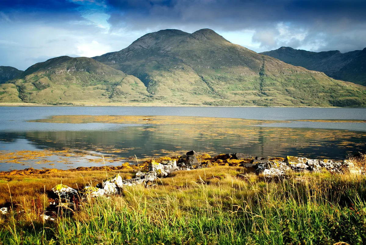
If you’re going to tackle a mountain, you might as well go for something substantial. Ben More – ‘The Big Mountain’ in Gaelic – ticks all the boxes for a challenge, but one that is achievable for experienced hill walkers.
Once, this lofty island peak was a mass of molten rock. Its igneous origins date back some 60 million years when the Isle of Mull was a major volcanic complex. Glaciers later shaped the mountain’s 966m summit.
Ben More walking route and map
Crail to Anstruther, Fife
6.1km / 3.8 miles | 2.5 hours | moderate
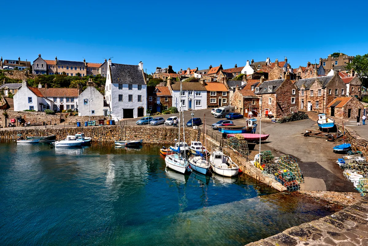
The Kingdom of Fife, as this part of Scotland between the Firth of Tay and the Firth of Forth is rather grandly known, has a long and distinguished seafaring and trading tradition. On its south coast, the fishing villages, which bear the influences of their trading ties with the Low Countries, are extremely well preserved and, with their distinctive red-tiled roofs and narrow streets, are a delight to amble through.
From the latter half of the 19th century, the fishing industry developed in earnest. Fishing still runs deep and working harbours remain along the Fife coast. A walk along the gentle coastline in the invigorating sea air is the best way to discover the area and its heritage. It’s also straightforward thanks to the waymarked Fife Coastal Path.