Between Yorkshire’s Pennine hills and the North York Moors is the greatest concentration of prehistoric henge monuments in the British Isles.
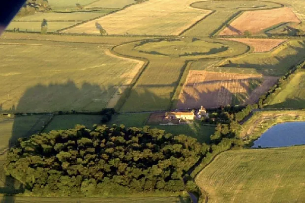
Thornborough Henges is at the centre of this vast ritual landscape, where three henges – ceremonial spaces encircled by earth banks and ditches – are joined together by wide earthwork avenues.
The line runs roughly north-west to south-east, and the slight dog-leg in the alignment perfectly mirrors the three stars of Orion’s belt. Coincidence? You decide.
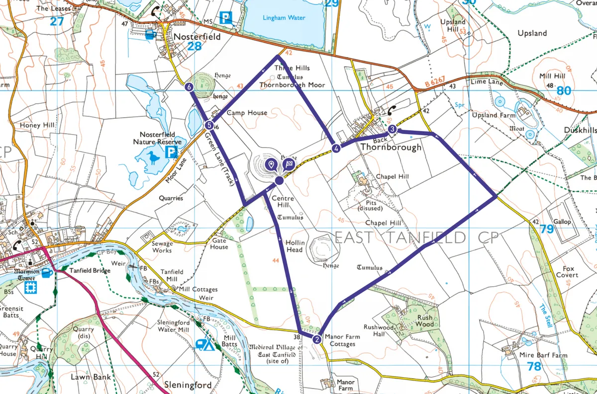
This 4.7-mile circular walk loops around two of the henges and diverts off to the third.
Looking for more walks in North Yorkshire? Try our routes at Muker, Ingleton and Pateley Bridge.

Thornborough Henges walk
4.7 miles / 7.6 km | 3 hours | moderate | 8m ascent
1. Start
From the central henge, follow the road briefly west and then turn left at the bridleway signpost through a gap in the hedge.
Passing through a bridle gate, continue across the field with a fence on your left. At another bridle gate, continue ahead across the middle of an arable field maintaining the direction indicated by the blue arrows and aiming for the gap in the trees ahead. This leads to a track with a plantation on your left that runs for about 300 metres to a lane.
Turn left here along this narrow lane for 130 metres and then turn left before Manor Farm Cottages onto another bridleway.
2. Back Lane
The track swings half right by woodland to continue in a broadly straight line, passing a burial mound on the left. You will have a hedgerow for company on your right until you reach a barrier, beyond which the track continues through open farmland.
On reaching a lane, turn left and follow this towards Thornborough. You can either stay with this lane and turn left into Back Lane, or turn through a signposted gap in the hedge to cut diagonally across a field to join Back Lane.
3. Thornborough village
Walk through Thornborough village and continue beyond the junction where Fore Lane merges with Back Lane. Just after the last houses on the right, turn right onto an enclosed grassy track – New Lane.

4. Thornborough Moor
The lane heads straight across Thornborough Moor, opening out into arable fields, but remaining grassy underfoot and maintaining the same direction. On approaching Moor Lane you will notice another burial mound on the left.
Turn left along Moor Lane until you reach a crossroads.

5. Camp Wood
If you want you can turn right here (signposted Nosterfield) for a closer look at the north henge, although there is no public access and it is surrounded by the trees of Camp Wood.
6. Green Lane
Retrace steps back to the crossroads and head straight across onto a track – Green Lane.
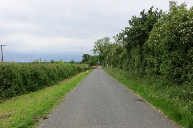
This enclosed, grassy, tree-lined track continues straight ahead to meet a lane. Turn left along the lane to return to your car and the gates that give access to the central and southern henges.
Thornborough Henges map
Thornborough Henges walking route and map

Useful information
Start
In the care of English Heritage, please note the central henge is closed for conservation work from 21 August 2023. Access to the southern henge is still possible.
A small amount of free layby parking is available at the entrance gates to the central and southern henges, near West Tanfield, DL8 2RA.
Terrain
The terrain is mainly tracks, some quiet country lanes and field paths which can be muddy after rain. The route is mostly level, but not recommended for pushchairs.
Map
OS Explorer 299 and 302
Eat/drink/stay
Try the Freemasons Arms in nearby Nosterfield for food and drink or The Bull Inn at West Tanfield which also offers accommodation. Nearby Masham offers a wealth of eating, drinking and accommodation options.
