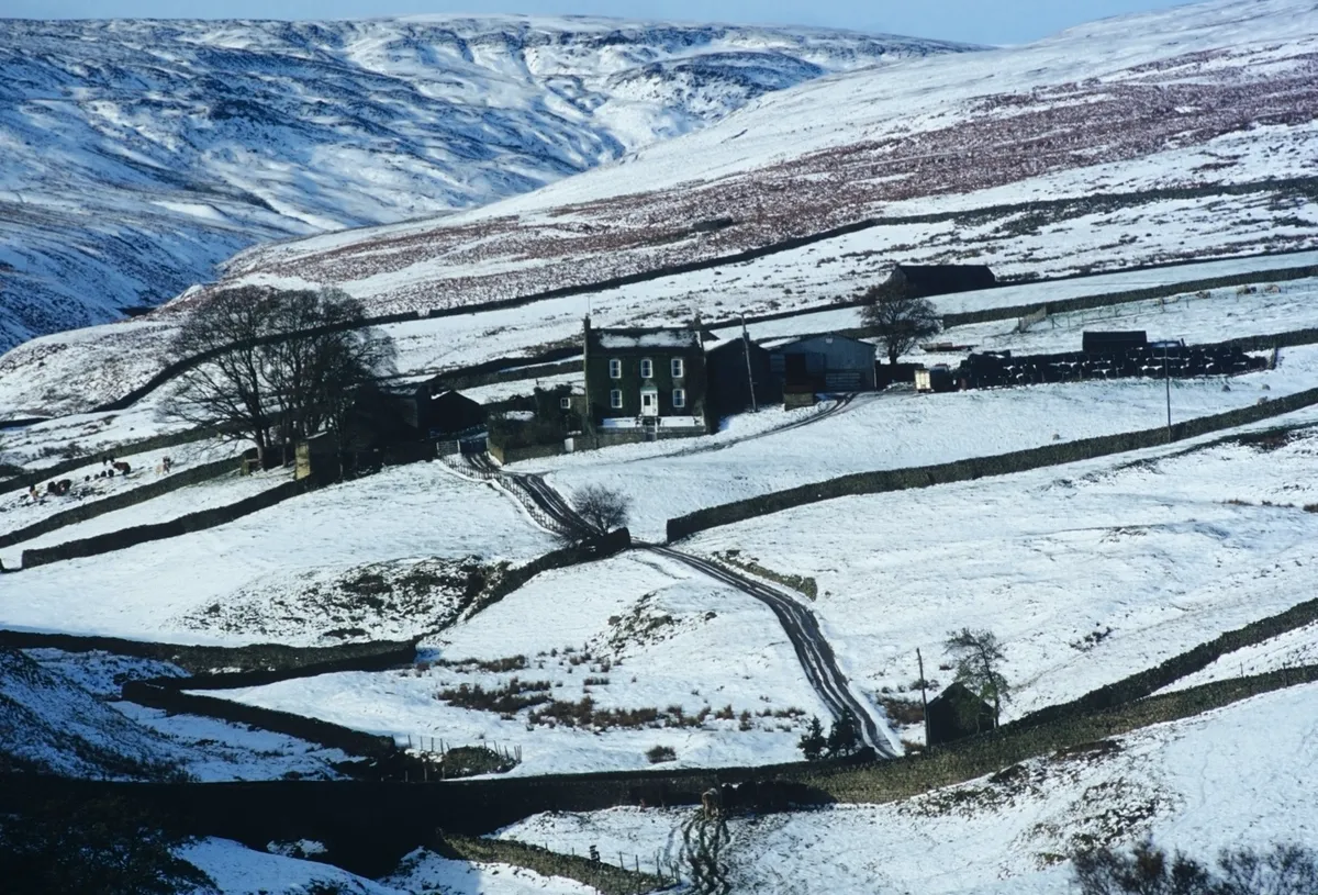
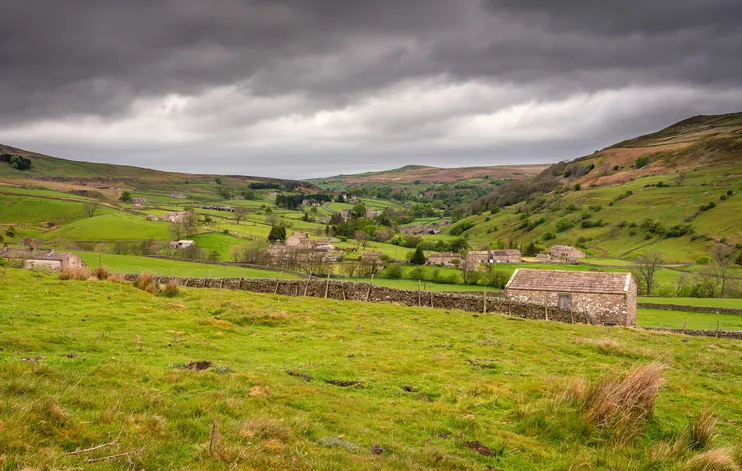
Cleaved into the eastern slopes of the Pennines is Arkengarthdale, a valley shaped by the torrent of Arkle Beck and pockmarked with evidence of a long industrial past.
Follow our 7.5 miles walking route and enjoy a refreshing drink in a lovely country pub at the end.
1. From the pub
Walk up past the buildings of the Charles Bathurst pub and just beyond go right through a stile. Go downhill and cross a bridge, then follow the drive around the trees of Scar Ho. Before the house, built by a mine-owner, take a track uphill to a gate into a lane. In the fields below, the small octagonal building stored gunpowder for blasting.

By a farmhouse, go through two gates and pass ruined outbuildings. Do not go through the next gate, but bend right alongside the wall and follow it off the track as it bears left. After a sheepfold go straight ahead to a road.
2. Low Moor
Turn right, then at a signpost turn right again and follow the track for a mile, rising to a junction. Turn sharp left and follow the track, bending left into a narrow valley. There are spoil tips from the Windegg Mines, and the tracks were former miners’ routes. Crossing Low Moor, keep right at a fork and after the valley bear left to a hut. Turn right and head downhill on a path that eventually goes beside a ghyll. Cross near a ruined building, part of the Slei Gill lead mines – look for the entrances to tunnels a little further on. After a gate, keep beside the wall. Go through a tumbled wall and immediately take the right-hand rising path.
3. Brooze - a misleading hamlet
Follow the path past a ruined cottage then turn left at a track, going through two gates into Booze. Somewhat misleadingly, the name means ‘the house on the curved hillside’. Opposite the first cottage, turn left between buildings, go through two gates and follow the signed route downhill to a signpost at a junction. Turn right. At the next sign go through the gateway and, after another gate, head into woodland. Descend to a footbridge, then cross and follow the path up to cross the graveyard by two gated stiles. Turn left, and at the main road turn right.
4. Detour
After 90m go left up a track (signed to Bouldershaw House). Down in the valley is the village of Langthwaite – take a detour to the small cluster of houses for a refreshing drink at the Red Lion Langthwaite. Near The Gill house turn right (not along the bridleway) by a signpost. Cross the moorland on a faint track. After a ladder stile, go left through spoil heaps to reach a road.

Take the track opposite, going downhill and through two gates to the left of Mill Intake house. Bear right alongside the wall, cross a small stream and descend to the corner of another wall before heading to a gate then a stile on the right of the school. Turn left back to the pub.
More Information
TERRAIN
Tracks and paths, mostly with gentle rises and descents. Some sections accessible to light pushchairs, but mostly unsuitable. Not suitable for wheelchairs.
HOW TO GET THERE
BY CAR: The Charles Bathurst Inn is in Arkengarthdale which runs northwest for Reeth in Swaledale. Reeth is on the B6270 west of Richmond and about 20 miles from Scotch Corner on the A1.
BY PUBLIC TRANSPORT: From Darlington station, on the East Coast Main Line, take bus Arriva NE X25 to Richmond, then Harrogate and District Travel CT/30 to Reeth. From Reeth, Harkers buses go by request up Arkengarthdale on Fridays only. Call 01748 884533 by 4pm on Thursday to request.
REFRESHMENTS
Arkengarthdale, Richmond
DL11 6EN
01748 884567
MAP
Ordnance Survey Explorer Map OL30.
Grid ref NZ 001 031
