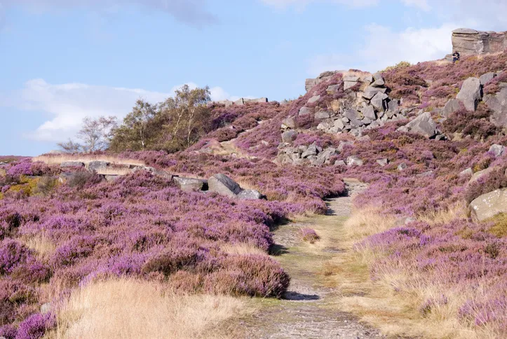
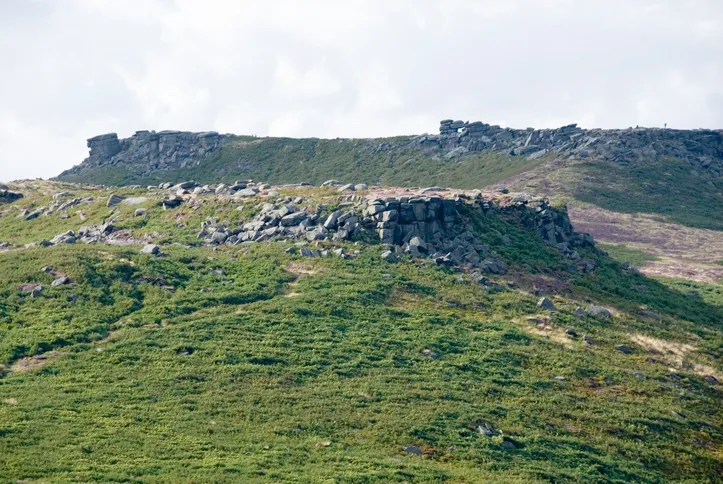
The Cyclopean walls of the mysterious fortification of Carl Wark rise from the heather of the Upper Burbage Valley like the ruins of an Aztec temple. Although the monument has never been satisfactorily explained, it is certainly prehistoric and possibly dates from the Neolithic period.
Overlooking the rugged promontory is Higger Tor, a popular venue for climbers. The rock-fringed plateau (434m) is punctuated by weird mounds of grey gritstone, the most prominent of which is the awesome Leaning Block on its southern edge. The abrasive nature of its gritstone is personified by the names of ascent routes – such as The Rasp and The File – introduced by climbers.
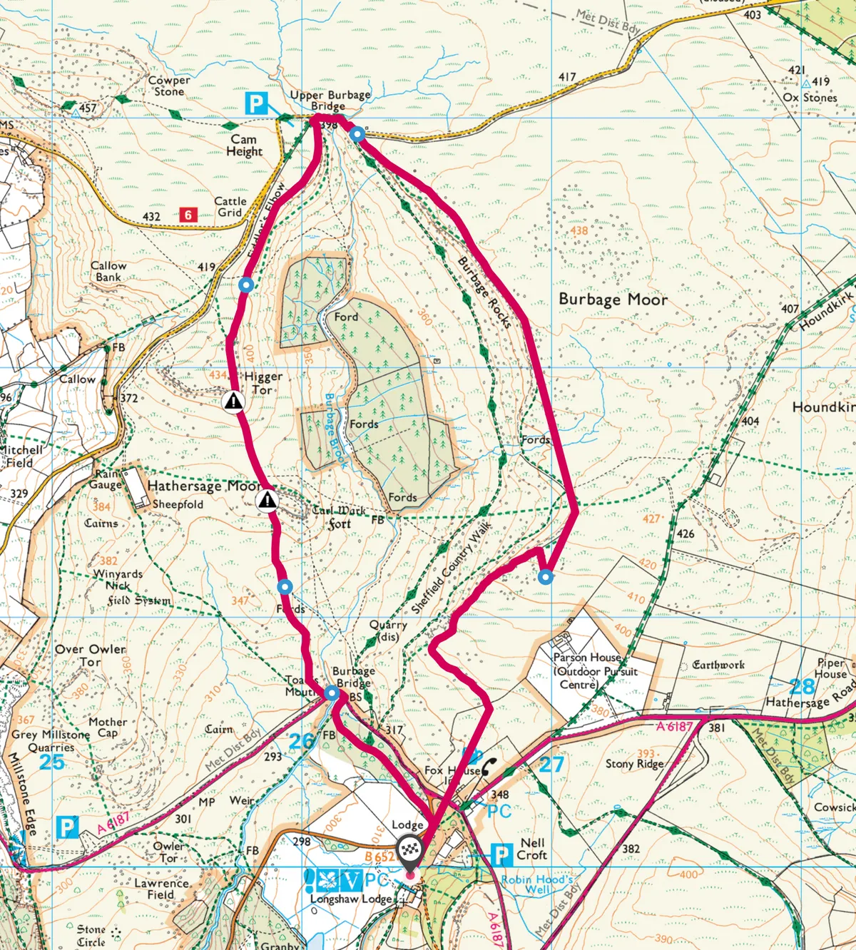
Together, the twin gritstone tors dominate the landscape above Hathersage and the National Trust’s Longshaw Estate, an area often busy with visitors from nearby Sheffield. Explore the landscape, rich in prehistory and legend, with a 4.5-mile moorland walk.

1
Shooting Lodge
Our walk starts from Longshaw Lodge, the 19th century former shooting lodge of the Dukes of Rutland and now a country park. Turn right and go down the drive past the gatehouse. Cross the road (B6521) and take the broad path through the mixed trees and cross the A625 opposite a small parking area.
2
Burbage Rocks
A sign just past here leads to the upper path running along the top of Burbage Rocks on the edge of Burbage Moor. At a little gap in the ridge where the rocks give way to heather, the path drops down and leads right towards Houndkirk Moor. Bear left here to reach the crest of the northern part of Burbage Rocks.
The edge path is followed all the way to Upper Burbage Bridge, which is seen ahead. Cross the stream here and contour below the Fiddler’s Elbow Road left towards the first rocky slopes of Higger Tor ahead.
3
Grand Tor
The rock-fringed plateau of Higger Tor (434m/1,424ft) is punctuated by weird tors of grey gritstone, the most prominent of which is the awesome Leaning Block on its southern edge. Clamber down through the boulders on a sandy path which leads across the moor to the impressive northern entrance to Carl Wark below.

4
Cyclopean walls
The huge stones of the 3m/10ft high monumental wall on the western entrance of this natural little plateau are very impressive. According to the latest archaeological theories, this formidable defensive position may be as early as the New Stone Age. It was known as “Carle’s Work” in the 18th century, and an overhanging rock in the northern section was described as “Caer’s Chair,” the seat of justice of a chief Druid.
5
Toad’s Mouth
Walk from Carl Wark on the path which leads from its western end down to the road junction at Toad’s Mouth – another weirdly-shaped rock which juts out over the road and looks exactly like its name, especially since someone carved an eye above the mouth!
Follow the road left to rejoin the path back to Longshaw Lodge across the road through the trees on the right.
Map
Click on the map below to head over to the OS Maps website for an interactive version of this route.

Main image ©Alamy
