The good folk of fortress-crowned Castleton, at the head of the Peak District’s Hope Valley, like to celebrate their Christmas underground. And with an abundance of show caverns honeycombing the limestone in and around the village, there’s plenty of opportunity to do just that.
In the weekends before Christmas, it’s not unusual to hear the sound of carols and the gentle oompah-pah-ing of local brass bands emanating from the gaping maw of Peak Cavern – also known as “The Devil’s Arse” – the largest cave entrance in Britain. Another candlelit carol concert is held in nearby Treak Cliff Cavern, on the former Chapel-en-le-Frith road out of Castleton.
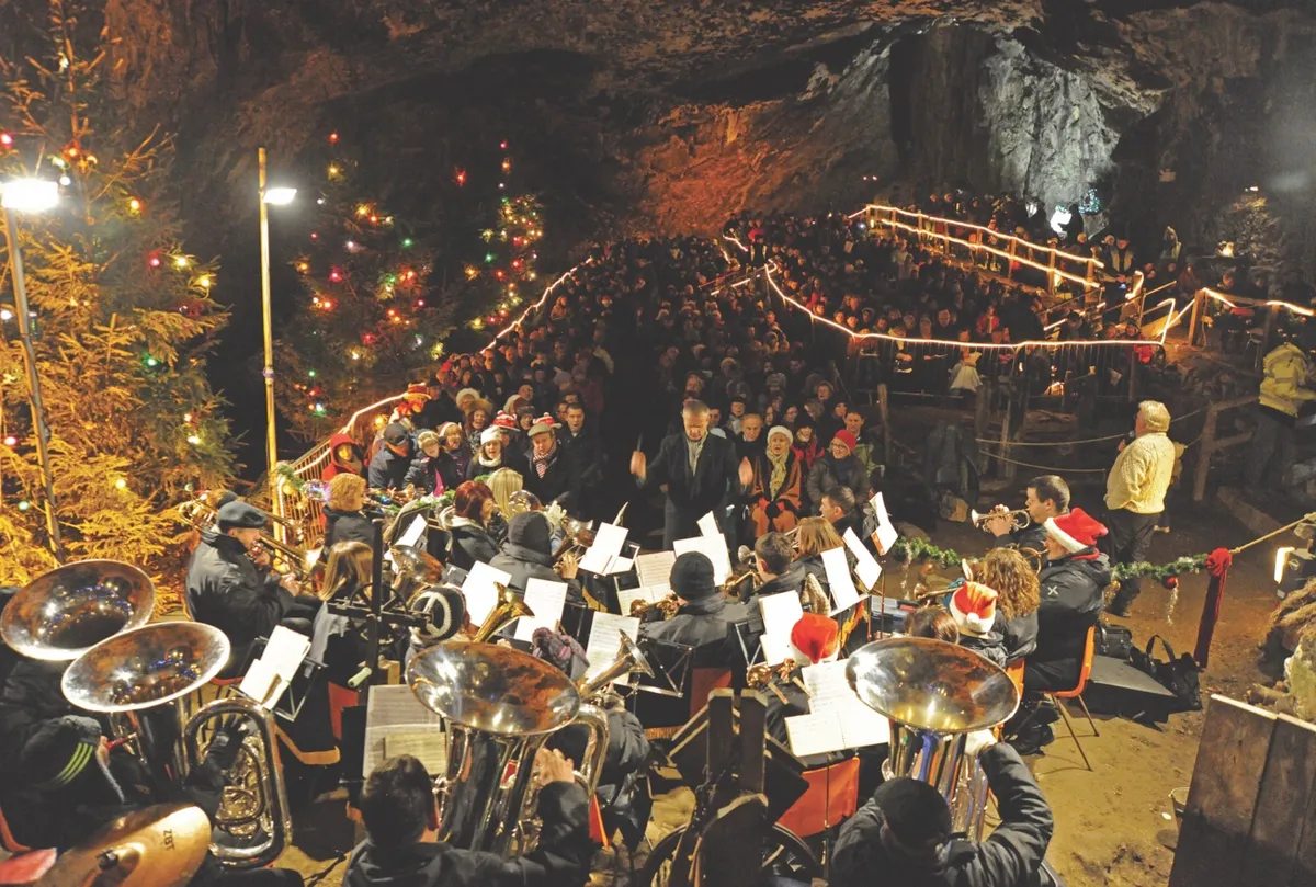
Peak Cavern is one of the Seven Wonders of the Peak District, and was long thought to be an entrance to Hell – the river that flows through it is still known to cavers as the Styx. For 400 years, a small community of rope-makers lived within its huge entrance – it became known as “a village that never saw the sun”.
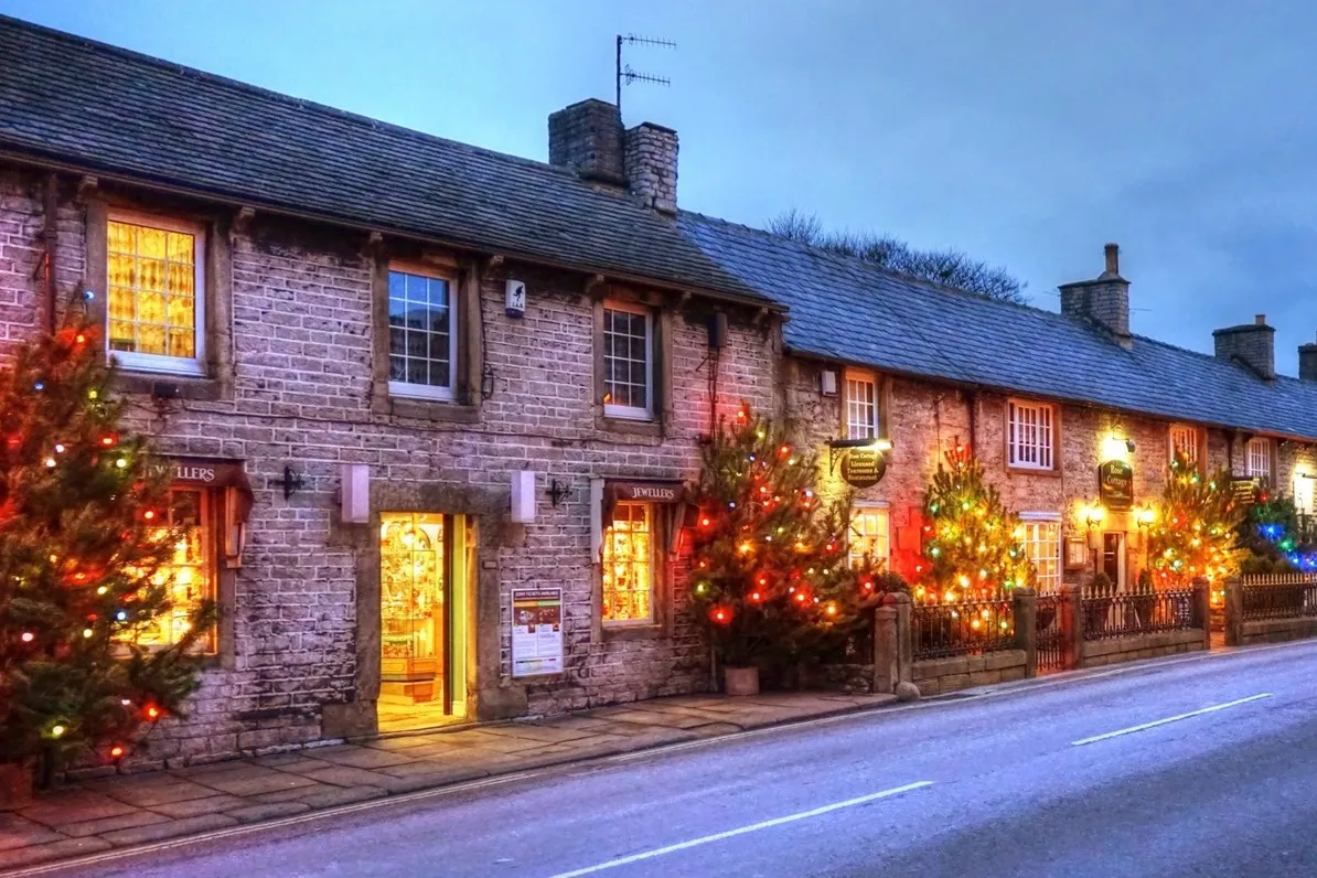
These days, the planned medieval township of Castleton is famous not only for its caves but also for its dazzling display of Christmas lights, as every shop and pub on Cross Street is festooned with colourful Christmas trees. And looming over the village, as it has for 800 years, is the 12th-century keep of Peveril Castle, also floodlit during the weekends before Christmas. Explore the caves, crags and castle of this Peak District village with an easy, four-mile circular walk.
1
Castle on the hill
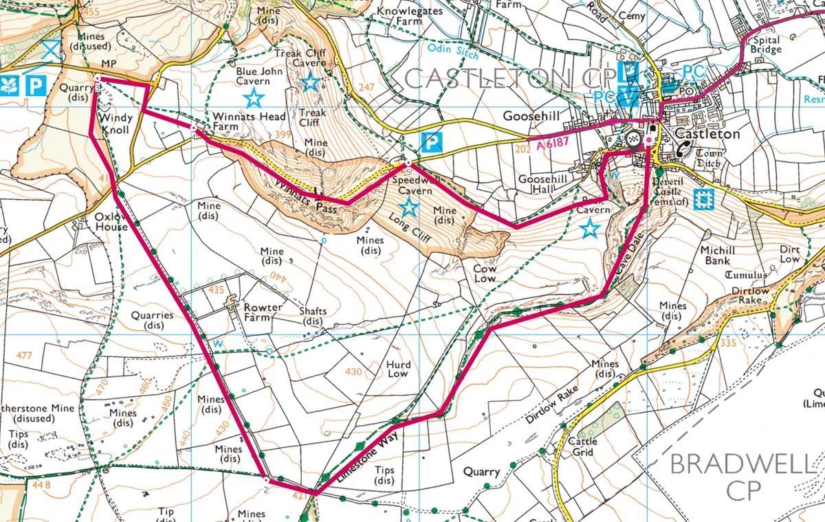
From the village square, take the concealed entrance to Cave Dale, signposted “Limestone Way” – this crag-rimmed cavern was formed by the rushing meltwaters of an Ice Age glacier. Beneath your feet, as you walk up it, is the dripping cavern of Roger Rain’s House, one of the many linked chambers in Peak Cavern.
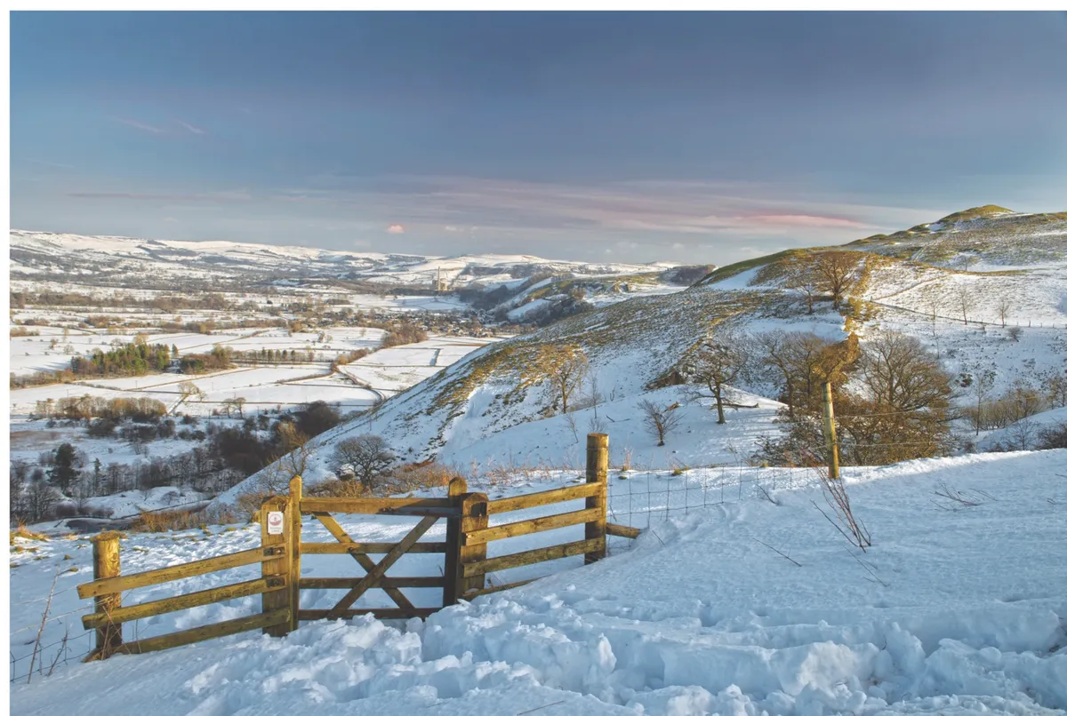
There are ever-expansive views back towards the keep of Peveril Castle, perched on the brink of the dale, with the summit cone of Win Hill puncturing the north-eastern horizon. Pass through a couple of gates and stiles to reach a gated road at the junction with the Dirtlow Rake bridleway. Turn right here over a stile and then over a second one (right), leading on to Rowter Lane.
2
Shivering Mountain
Follow ruler-straight Rowter Lane for about a mile, with the great bulk of hill fort-topped Mam Tor – the Shivering Mountain – filling the skyline ahead. When you reach the B6061, go straight ahead over a stile, soon arriving at the old quarry and low entrance of Windy Knoll cave. The bones of brown bear, wolf and hyena dating from the Ice Age were found here.
3
Canyon walk
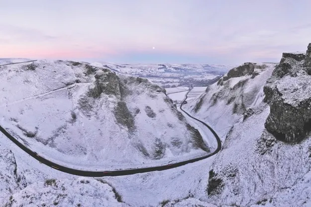
Go ahead to meet the A625 and turn right, then right again at the junction beneath the crumbling east face of Mam Tor. A stile leads left across fields behind Winnats Head Farm to the limestone canyon of Winnats Pass.
4
Formed by waves
Winnats Pass formed as an undersea channel 350 million years ago in warm, Carboniferous coral reefs. Translated to ‘wind gates’ due to the funnelling nature of its craggy profile, the pass is the Derbyshire equivalent of Cheddar Gorge.
5
Blue John
Take care as you descend the busy road beneath the gorge’s overhanging limestone pinnacles. At the foot of the narrow ravine you will pass Speedwell Cavern – the former lead mine is now a show cave, reached by an exciting underground canal boat trip. Accompanied by a guide, wind through the darkness to the Bottomless Pit, a mysterious subterranean lake in a cathedral-like hollow.
The caves around here are claimed to be the only place in the world where the semi-precious mineral known as Blue John – a purple, blue, white and yellow-banded fluorspar – can be found.
A gate leads off to the right just past Speedwell Cavern. Head along the face of Long Cliff towards Castleton for half a mile. Cross Goosehill Bridge and follow the footpath alongside Peakshole Water, with the flow on your left, then turn right down Cross Street into the Market Square and the village centre.
Along with many other Hope Valley villages, Castleton has its own carols – and you’re just as likely to hear these in The George and other village pubs as you are in the Methodist Church or St Edmund’s Parish Church, which has its own Christmas tree festival.
Map
Click on the map for an interactive OS map of the route
Main image ©Alamy


