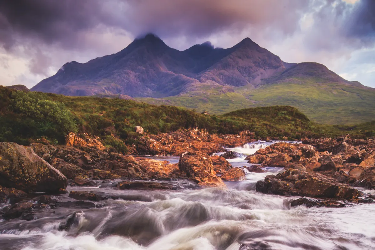
Menacing yet darkly beautiful, the jagged Cuillin Mountains are your steady companion on this remote island walk through Glen Sligachan.
Winding through true wilderness country, you’ll feel a real sense of progression as you ford several rivers, moving from one loch to the next, past herds of red deer and the dramatically located Camasunary Bay, before arriving at the houses of Kirkibost. Save it for a fine September day after a spell of dry weather – the midges will be fewer, the burns lower – and you will have a memory to last a lifetime.

Glen Sligachan walk
Distance: 11 miles | Duration: 5 hours | Difficulty: hard
1. Stone stairs
Start from the A87 car park on the east side of the River Sligachan, where Sgurr nan Gillean – one of the iconic peaks on the Cuillin ridge – rises majestically from the moorland. Follow a path towards the river and through a gate on your left. Climb a well-crafted stone staircase, enjoying views of Glen Sligachan and the rounded Red Hills on the valley´s eastern flanks. The easy-to-follow path continues on, crossing one or two burns as it becomes gradually stonier and boggier.

2. Harta Corrie
After about two miles you´ll come to the Allt na Measarroch river, which is crossed on large stones. Ahead, the magnificent bulky profile of Marsco looms large – it seems an age to make any progress against its vast size. To the west, you’ll find your gaze drawn hypnotically into the vast Harta Corrie above Glen Sligachan.
3. Fording burns

At a big cairn and a fork in the path, go left to continue on through the glen, soon reaching the Allt nam Fraoch-choire river. You will need to ford the deluge on boulders – if in doubt, return.
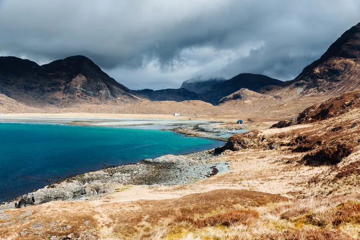
Ahead, as the path winds down beside the delectable Loch an Athain, the larger Strath na Creitheach comes into view. Squelch along the photogenic eastern shore of the elongate loch, keeping straight ahead at the southern end. From a crest, Camasunary lies below in all its sea-kissed glory. Descend towards the shore, drinking in the view as you pass a bothy.
4. Hamlet by the sea
Turn left and follow the burn uphill on a good track. After climbing for around 400 feet, go right to join the Am Mám path, which leads on to the B8083 and Kirkibost. From the hamlet, you can catch a bus to Sligachan or, ideally, meet a friend with a car.
Glen Sligachan map
Glen Sligachan walking route and map

