In 635 AD, King Oswald of Northumbria invited St Aidan from the monastic settlement on Iona to found a monastery on Lindisfarne. Aidan’s death, 16 years later, coincided with the vocation of local shepherd boy Cuthbert, who became bishop of Lindisfarne.
Through the centuries, the island suffered many Viking raids yet retained its spiritual ambience. The 12th-century priory, now in ruins, is directly related to the early monastery. The island is also an mportant national nature reserve and wintering site for migrating birds, including whooper swans and brent geese from Svalbard. Plants include rare black bog-rush and Lindisfarne helleborine.

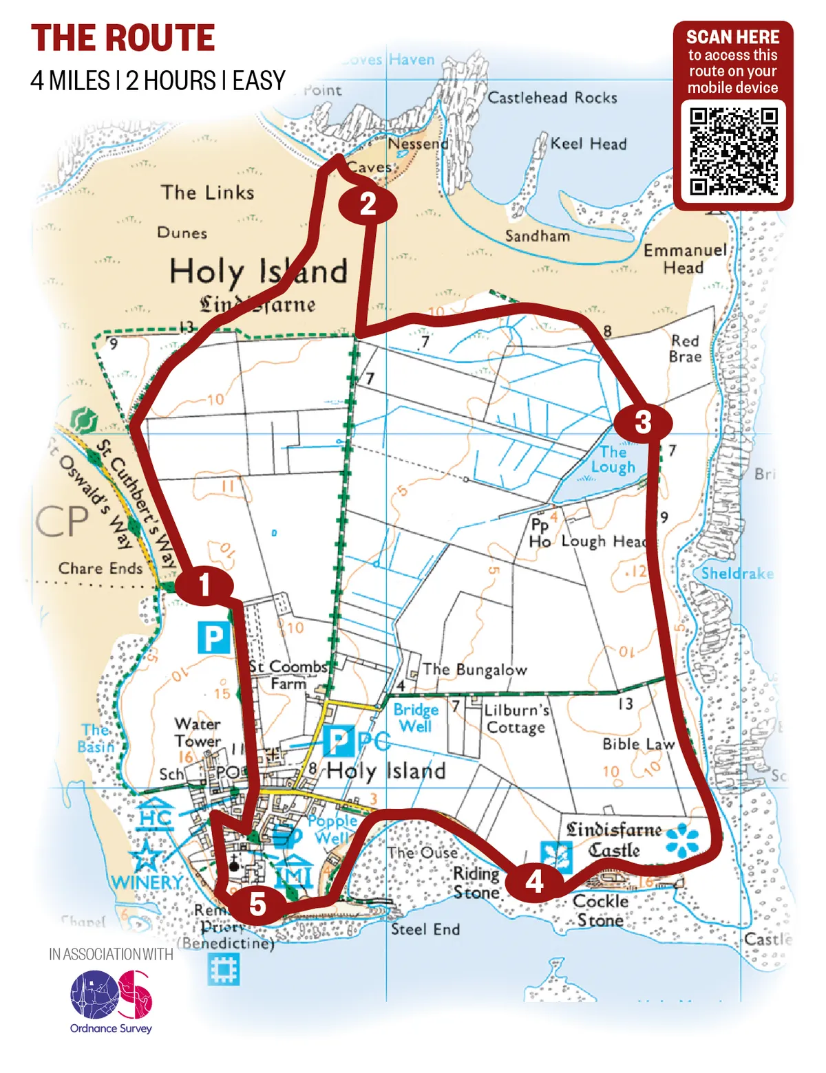
1. Sand under foot
Follow the road north from the car park to a gate. The wooden posts across the sands mark the Pilgrims’ Way from the mainland. Go through the gate and follow the footpath to a small hill. Take the right fork curving round the base of the hill. When the track splits again, follow the left fork, through sand hills, then any one of the criss-crossing tracks that lead to the high dunes overlooking Coves Haven, where you are likely to see seals. Turn right and follow the path along the top of the dunes to the western end of the limestone cliffs.
2. Wagonway walk
Turn right and follow the path across reclaimed land, once occupied by limestone quarries, until you come to a gate. Turn left and follow a fence, then a wall, to a second gate and notice board. Go through the gate on to a raised track – an old wagonway used to carry limestone from the quarries. This brings you to The Lough, which is overlooked by a birdwatching hide. Bordered by reeds and bogbean, this was dug by the monks as a source of fresh water and fish.

3. Kilns to castle
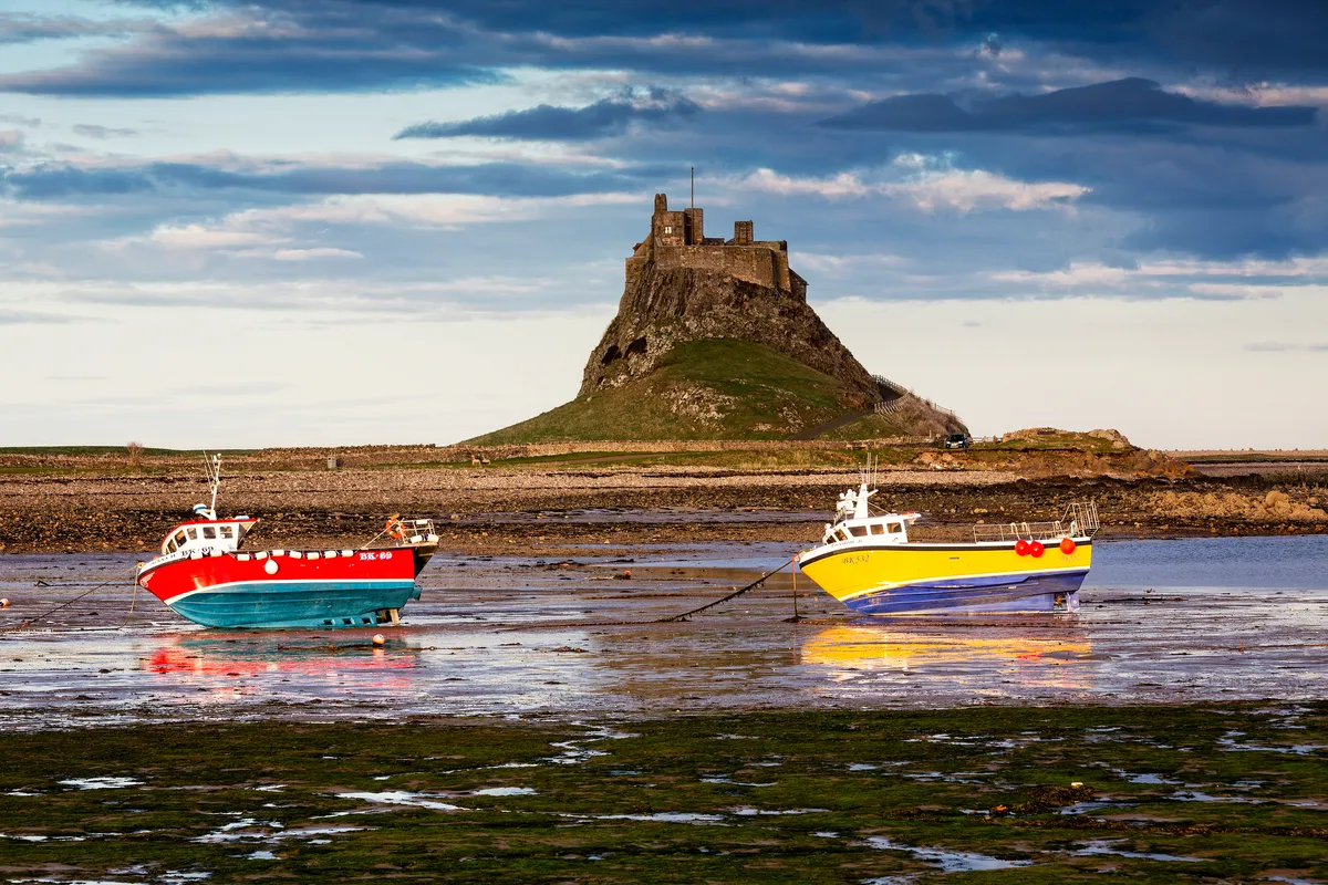
Continue along the track, which converges with the eastern shore, then curves to the right past limekilns dating from the 1860s – these are among the largest and best preserved in Northumberland. Carry on around the base of the dolerite crag, topped by Lindisfarne Castle (currently being restored and due to reopen in April). Originally a Tudor fort, this was redesigned as a private house by Sir Edwin Lutyens in 1903. To the north of this is a walled garden, designed by Gertrude Jekyll between 1906 and 1912.
4. Holy hilltop
Beyond the castle, take the road toward the village. On reaching a footpath, follow this past upturned boats, now employed as storage huts by fishermen. Look out for the numerous waders foraging on the mudflats and along the shore, and eider ducks paddling on the sea. The path curves past more huts and ascends The Heugh, a hill overlooking Lindisfarne Priory.
5. Turn of the tides
The path now descends over rocky ground to a beach, then curves back uphill, past the Church of St Mary the Virgin, and enters the village at the priory. Turn north and continue on to the car park.
The island is reached by a causeway that is covered at high tide twice a day. To find out the best times to cross, visit: northumberland.gov.uk
Lindisfarne walking route and map


