On 39 January 1865, the Reverend Carr spent a night out on the Long Mynd, battling against one of the fiercest snow storms to hit 19th-century Shropshire.
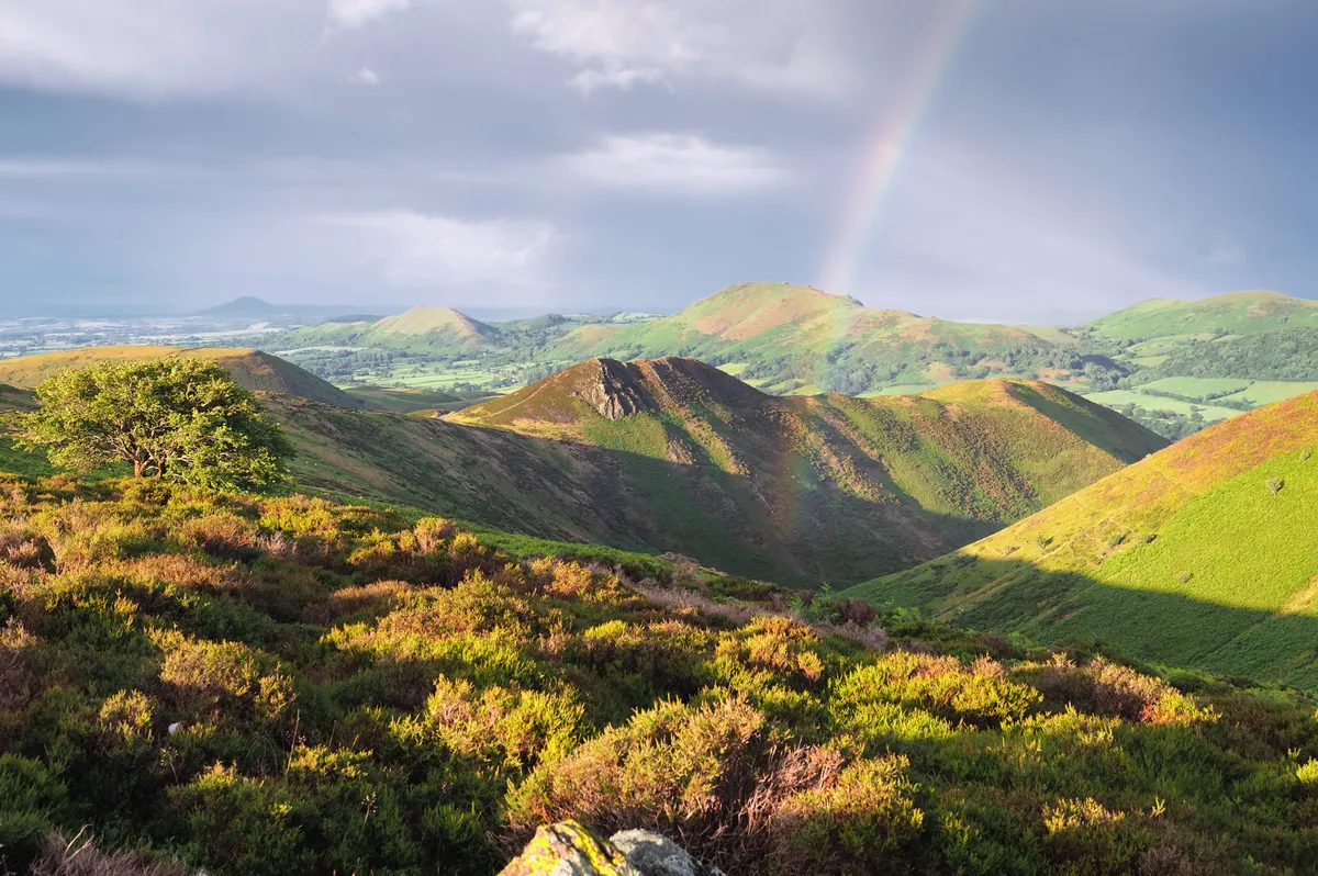
This 21-square mile expanse of windswept heather moorland can be notoriously wild in winter. The Burway, the single-track lane that snakes up to altitudes of 475m, is frequently closed in winter, adding a sense of adventure for hikers out exploring this vast plateau in the colder month.
Reverend Carr regularly crossed the Long Mynd to deliver Sunday services at Woolstaston and Ratlinghope churches. On this occasion, after his morning service at Woolstaston, he trekked four miles through deep snow to preach the afternoon service at Ratlinghope. But on his return journey for Woolstaston’s evening service, the weather worsened. Carr became disoriented by fierce blizzards, got stuck in chest-deep snowdrifts and plummeted down the sides of steep, frozen valleys.
Follow in the footsteps of Reverend Carr on this 8.6-mile walk.

Long Mynd walk
8.6 miles/13.8km | 525m accent | 5 hours | moderate–challenging
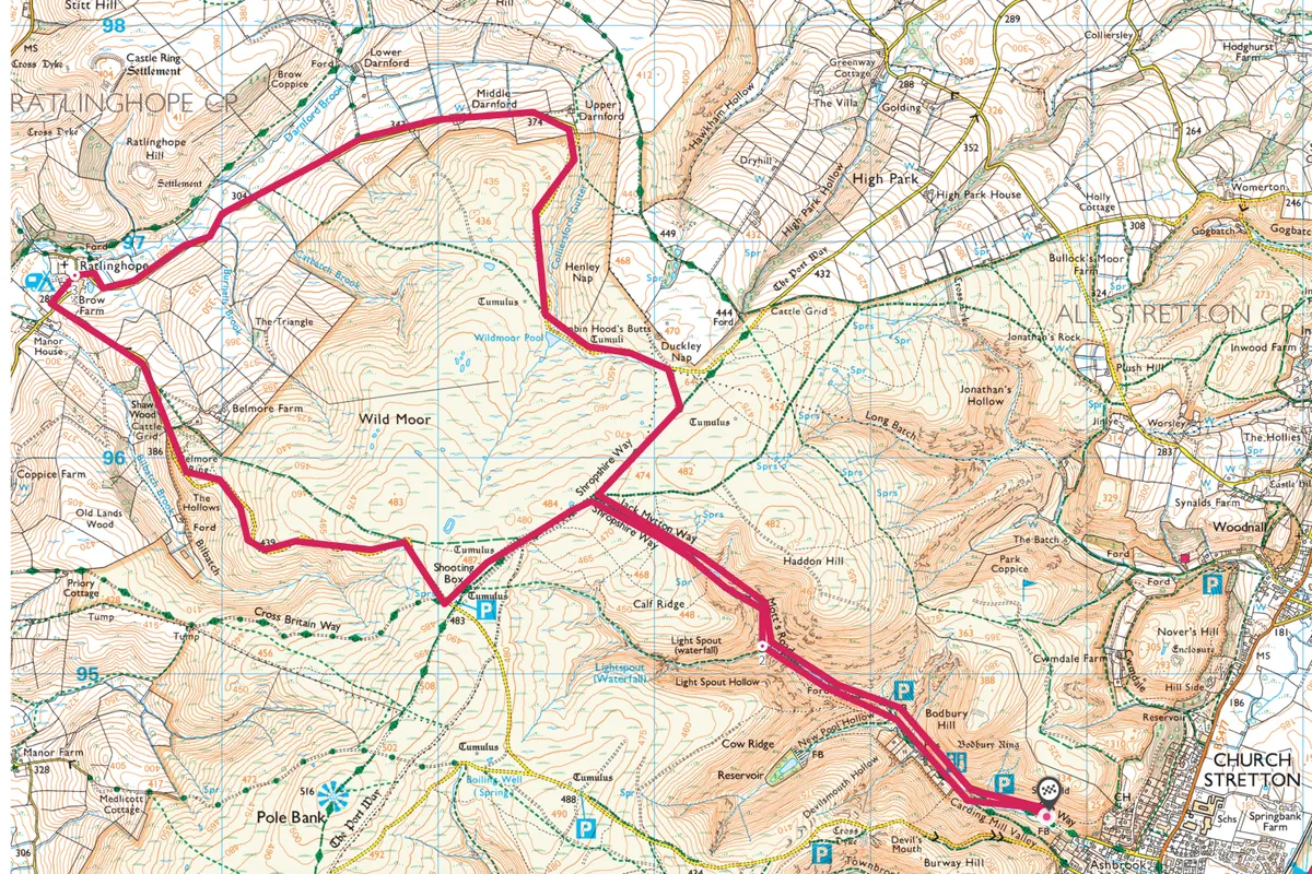
1. Carding Mill Valley
This eight mile route begins in Carding Mill Valley, where Carr was ultimately rescued, 22 hours after setting out and five miles off-course. Blinded by his frozen eyelashes, he heard children’s voices and called for help. In one of the cottages here, he was given warm soup, his first real sustenance for hours.
Today, the National Trust’s Chalet Pavilion offers similar restorative refreshments to weary Long Mynd walkers.
Take the main track, past the pavilion, to the top car park, and continue climbing through the ever-narrowing valley, to the confluence of two streams.

2. Lightspout Waterfall
For a short diversion, fork left to Lightspout Waterfall. Miraculously, Carr missed this, despite tumbling over another shorter drop higher up. By this point of his ordeal he’d lost his walking boots and gloves.
To continue our walk, fork right, keeping to the main path, and climbing onto the Mynd’s plateau. Mynd is a corruption of the Welsh Mynydd, which means mountain. Turn left onto a wide stone track, towards Shooting Box. Look out for red grouse, red kites, golden plover and hares. Westward views include the Stiperstones and much of mid-Wales. Fork right at a junction, onto the Shropshire Way, passing the Shooting Box, to reach the Burway single-track lane. Turn right.
Drop gently, forking right onto a grassy path, signed to Ratlinghope. Descend to a track, and bear left to rejoin the lane. Cross the cattle grid, and drop to a junction. Turn right.
Best walks in Shropshire
Climb volcanic hills, discover old ruins and visit pretty rural towns in one of England's most diverse counties.

3. Darnford Valley
Ratlinghope’s St Margaret’s Church is also the burial place of Richard Munslow, England’s last sin-eater. Sin-eaters would consume bread and wine over a corpse in order to take on their immorality before burial.
From here, follow the lane through the isolated Darnford Valley, part of Carr’s usual route between his churches. Climb back onto the Mynd, passing Wildmoor Pool on the right. Ascend to a junction, taking the stone bridleway on the right, signed to Pole Bank. Join another bridleway and follow this to reach the junction. Turn left to return into Carding Mill Valley. Warming up from the cold, you’ll feel a new appreciation for Carr’s tale of survival, still known locally as the Miracle on the Mynd.
Long Mynd map
Long Mynd walking route and map

