Perched on the western fringes of Carmarthen Bay, the charming seaside towns of Tenby and Saundersfoot are designated conservation areas that offer superb Blue Flag beaches and picturesque harbours.
Take a hike along the coast and then return inland with our 7.5-mile walking route.
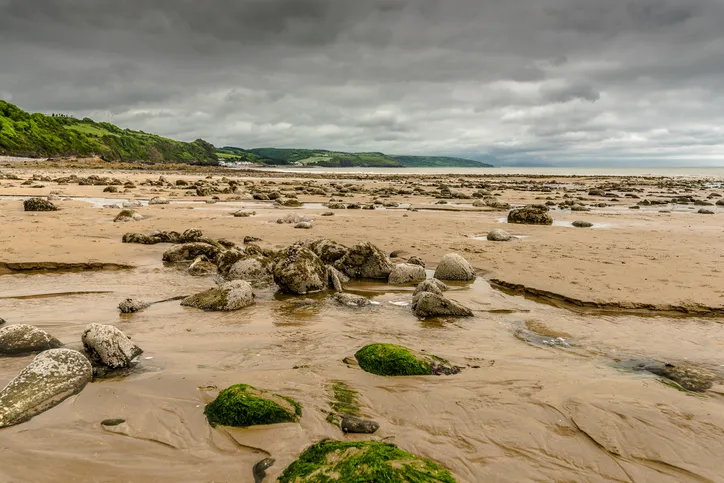
Tenby walk
12km/7.5 miles | 4 hours | moderate
1. Sauntering on foot
Facing the sea in Sandersfoot, follow the harbour wall right to a concrete walkway leading on to the beach. Turn right along the beach and, after 200m, climb the steps leading up the cliff face. Continue along a path until you join a road at a bend or, if the tide is high, exit the harbour and turn left up the B4316 until you reach a minor road called The Glen. Follow this road until you arrive at a sharp right-hand bend.
Realted articles
2. In and out of trees
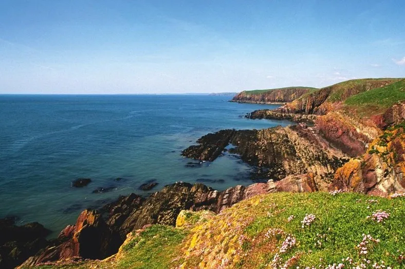
At the bend, follow a path that leads steeply uphill, guided by acorn waymarks, as it winds along the Pembrokeshire Coast Path. The path descends into woodland and then rises to offer fine views, initially over Saundersfoot Bay and then, once you round Monkstone Point, of Tenby and Caldey Island.
3. Like a postcard
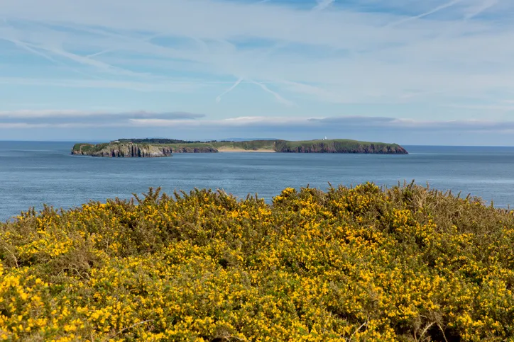
As the classic postcard view of the colourful Victorian houses surrounding Tenby harbour nears, the coast path veers inland and descends into the valley of Waterwynch. At a driveway leading to Dingle Cottage, follow the acorn sign straight across to join Waterwynch Lane, the last big climb before reaching Tenby. After passing a campsite the path joins a road that runs along the cliff top above North Beach, the venue for the Boxing Day dip.

4. Ready for a dip?
If you've timed it right, you'll be able to watch the mad folks frolic in the freezing Atlantic, before continuing along the road and turning right on to Norton Road. At a left-hand bend, turn right up steps and follow the path to a drive; bear right along a track past a cemetery. Continue along the tree-lined track, and at a bridleway sign turn left along a narrow trail before taking a sharp left at another bridleway sign on to a wide path.
At a meeting of paths, turn right and descend to the busy A478. Cross the road carefully and continue along the track opposite, which descends into a woodland valley.
5. Into Saundersfoot
Turn right at a bridge on to a trail that runs below a railway line. After 100m, bear right along a woodland track, which ascends to Knightson Farm. Turn right past a caravan site and once again connect with the A478. Cross over the busy road and follow a path through a housing estate until you reach a main road; you’ll see New Hedges village hall opposite. Turn left on to the B4316 and continue on this road for 1 mile, through New Hedges, before descending into Saundersfoot and back to the harbour.
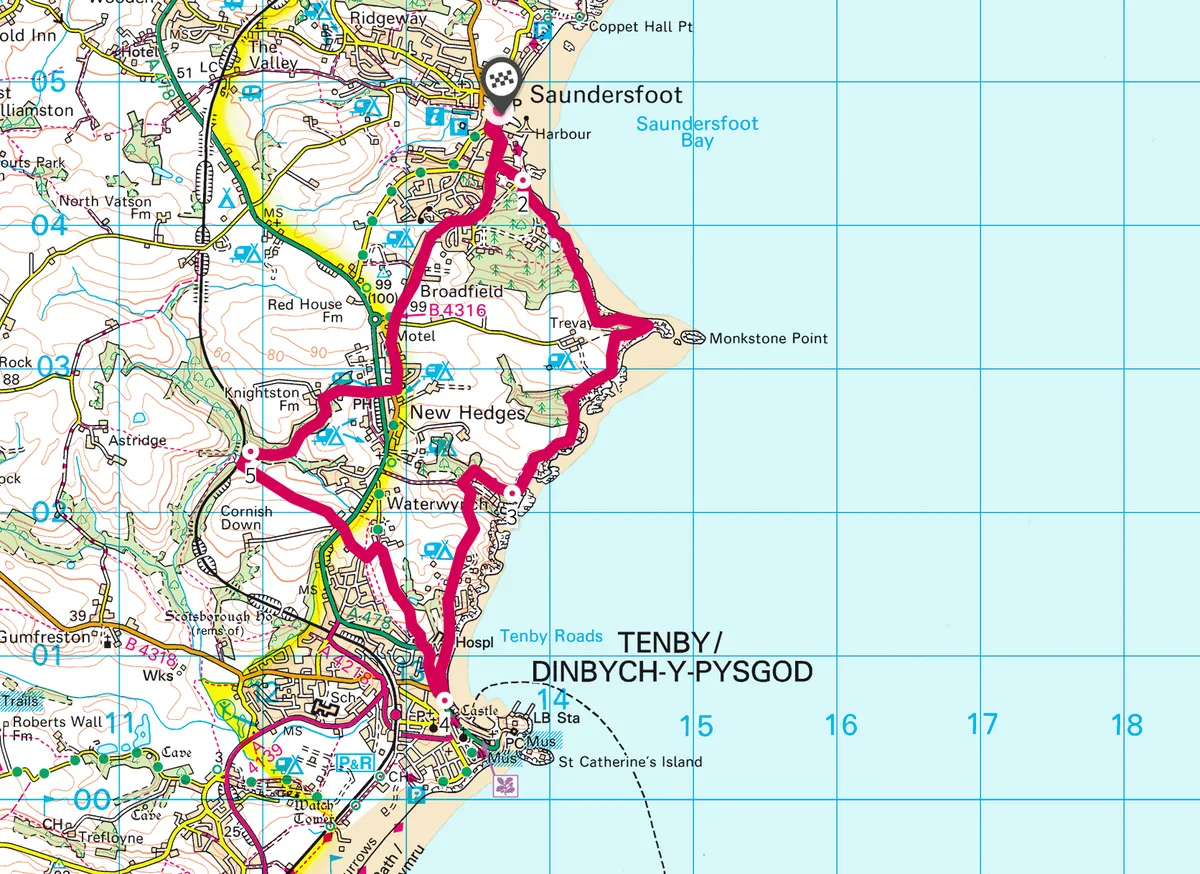
Tenby map
Tenby and Saundersfoot walking route and map.
More information
Terrain
Woodland paths and tracks (prone to being very muddy), road and coastal path.
How to get there
By car: From the M4 exit at J49 and continue on the A48 towards Carmarthen, then follow the A40, A477 and A478 (all signposted to Tenby) before turning on to the B4316. The car park in Saudersfoot located next to the harbour.
By public transport: Saundersfoot has a train station situated 1 mile north of the village, with a local bus service connecting the two. Arriva Trains provides services to both Saundersfoot and Tenby, though no Arriva Wales trains or local buses run on Boxing Day.
Refreshments
Upper Frog Street, Tenby, SA70 7JD
01834 842227

