The undeniably impressive Giant’s Causeway is Northern Ireland’s most popular tourist attraction. But step off the beaten track and you’ll be able to marvel at this coast’s geology, myths and breathtaking views in virtual solitude.
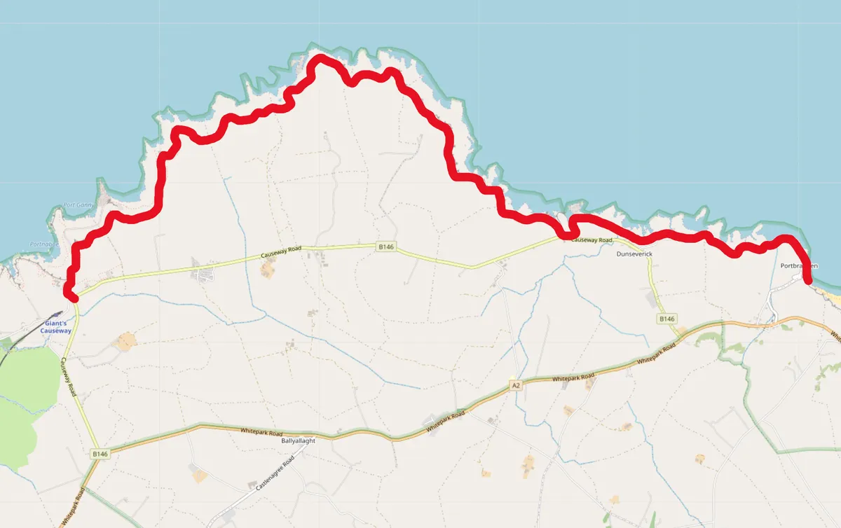
In its entirety, the Causeway Coast path stretches for 33 miles; we’ve focused on the six miles from Portbradden to the Causeway itself.
Follow our six-mile walking route along the Causeway Coast in County Antrim.

Causeway Coast walk
10.5 miles | 5–6 hours | moderate
1. Salmon port
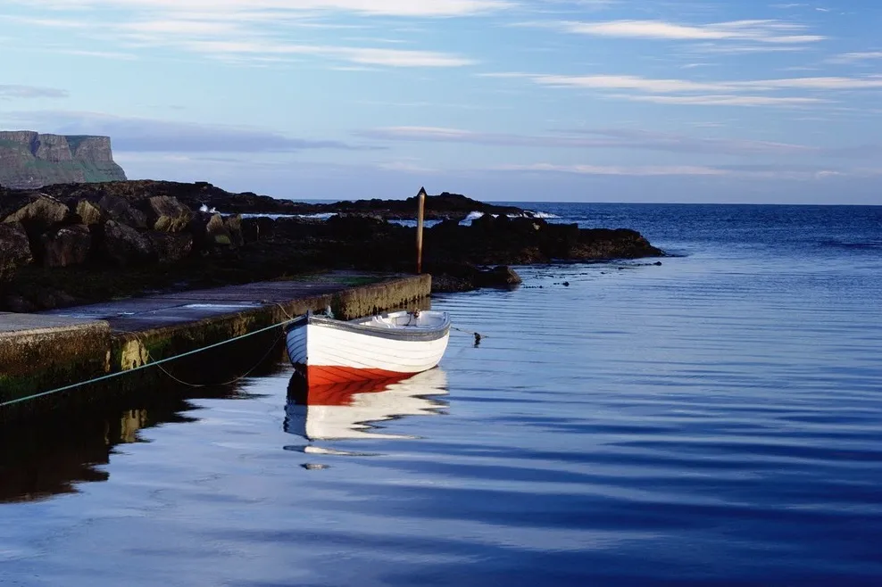
This six-mile walk starts east of the Giant’s Causeway at the shoreline hamlet of Portbradden, meaning ‘Port of the Salmon’. Historically a famous fishing spot, it still has a working slipway.
More unusual is the blue and white St Gobbans church. Known as Ireland’s smallest church, it is in fact a local man’s tribute to Gobban, a 7th-century Benedictine monk, whose actual church is a ruin half a mile away at Templastragh.
The path that follows the rocky shore from here, with basalt, limestone and dolerite in differing earthy shades. There’s a natural arch in the rock known as Heaven where, apparently, sinners are unable to pass. Safely on the other side, take in the views of Benbane Head to the west, Rathlin Island to the east, and Mull and Islay in the distance.

2. Succumbing to the elements
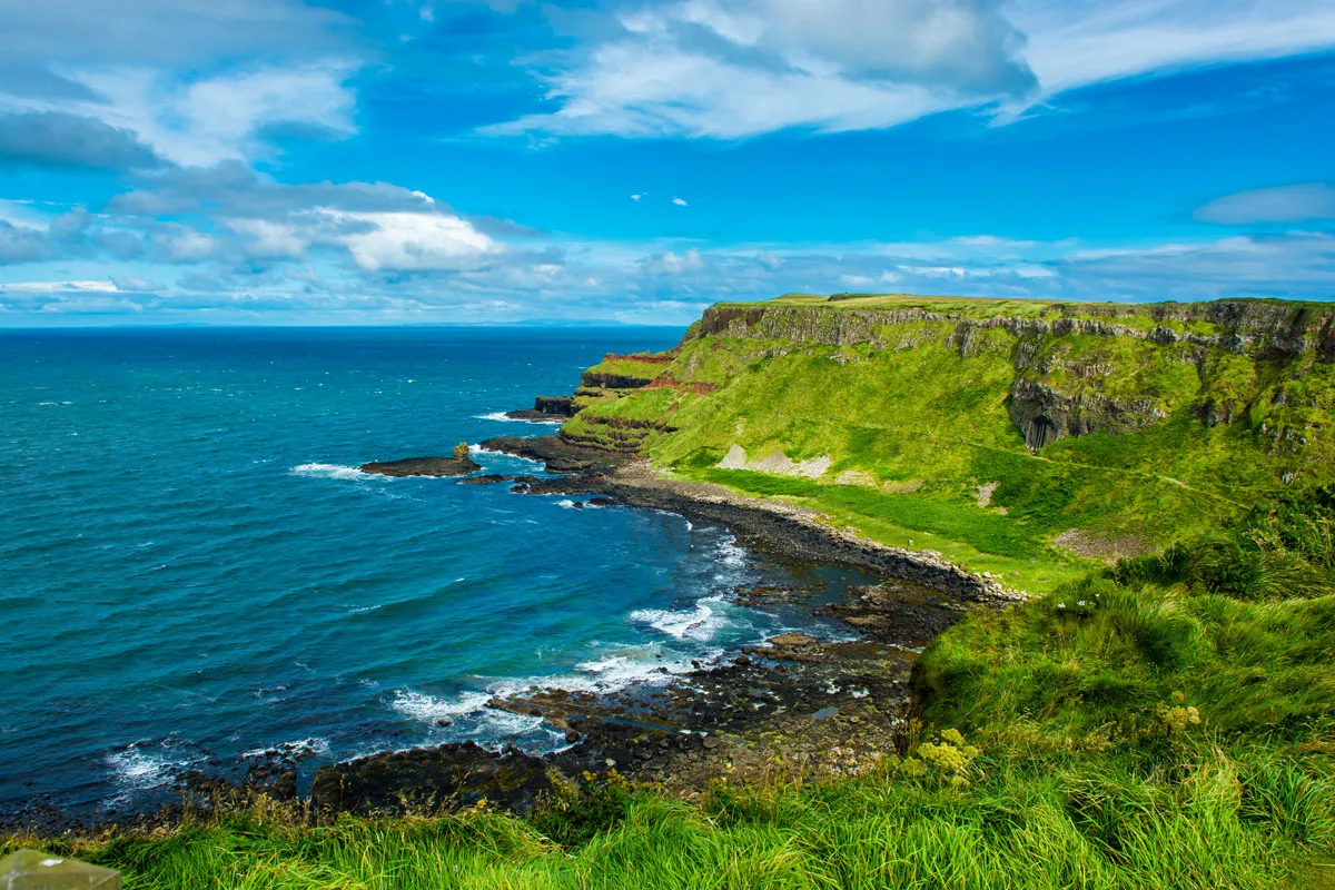
Continue along the coastal path and you can’t miss the dark basalt columns in the cliff face. The path rolls into gusty, narrow inlets and then out to the calmer shores of the tiny Dunseverick harbour, contrasting with more energetic waters of Dunseverick Falls just up ahead, where the dark, boggy mountain water plunges into the waves below.
A short climb to a more elevated, grassy promontory reveals the tottering ruins of Dunseverick Castle, a stronghold as far back as the Iron Age, and whose visitors include St Patrick. Perched atop 37m (121ft)-high cliffs, it’s not surprising that most of the castle has succumbed to the elements over time.

As you approach the headlands of Contham, Bengore and Benbane, the drama of the views, weather and geology heightens, and the harsh winds push you back towards the inland safety of heather and gorse-covered turf.

3. The giant awaits
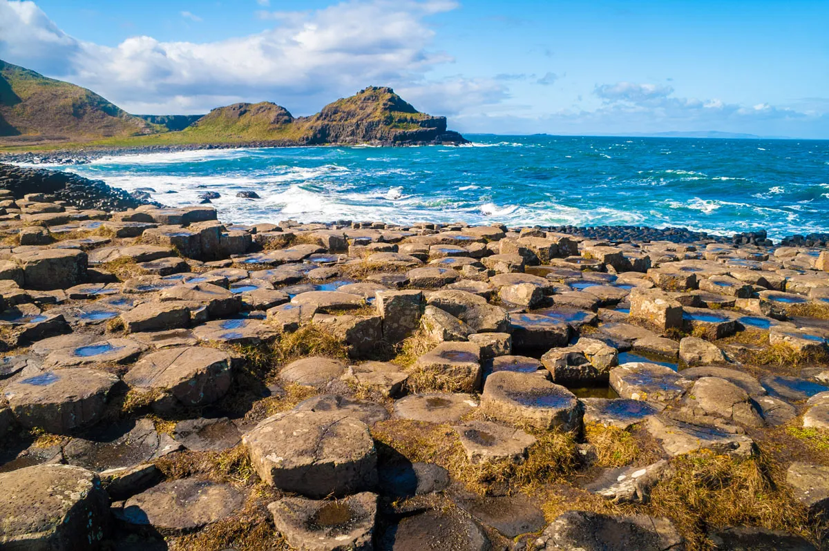
The seascape takes one last dramatic turn as the geological splendour of the Giant’s Causeway come into view: the basalt colonnade known as the Amphitheatre, the 12m (39ft)-high columns of the Organ and, of course, the giant’s stepping stones themselves. After such a solitary and soothing journey, the crowds below can seem daunting, but at least now you know the best escape route.
Portbradden to Giant's Causeway map

Useful Information
How to get there
From June to September, the Causeway Rambler bus service runs four times a day between Portrush and the Carrick-a-Rede rope bridge. The nearest stop is White Park Bay where, if tides are low, you can cross to Portbradden on the beach. Otherwise, walk along the road to the starting point. By car, park at Portbradden and order a taxi at Giant’s Causeway visitor centre back to your starting point. A longer option is to start at Ballintoy, serviced all year by Ulsterbus from Portrush.
Find out more
Walk NI
028 9030 3930
www.walkni.com
Eat
The Smugglers Inn
Whitepark Road, Giants Causeway BT57 8SL
028 2073 1577
www.smugglersinnireland.com
Stay
The Bayview Hotel
2 Bayhead Road, Bushmills BT57 8RZ
028 2073 4100
www.bayviewhotelni.com
Five miles from the causeway.
Main image credit: Dunseverick harbour/Credit: Getty