On a quiet day, there’s a lost world feel to North Devon’s enigmatic Valley of Rocks, despite the serpentine ribbon of road that curls through the vale in the place where a river once ran.
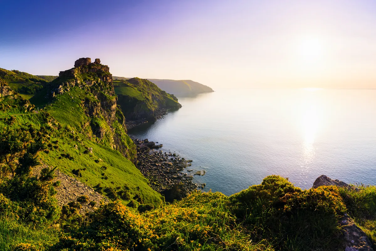
Here on the coastal boundary of Exmoor National Park, ancient fossil-rich fingers of Devonian stone form shadow puppets against the sky, framing one of south-west England’s most dramatic views, as the moors stampede off the edge of towering cliffs and down to the churning sea.
The best way to experience Valley of Rocks, which lies just around the corner from the twin coastal villages of Lynton and Lynmouth, is with a 3.5-mile circular walk.

Valley of Rocks history
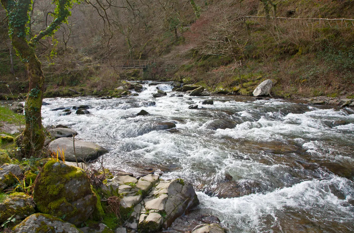
Many millennia ago, this rugged valley was left high and dry when its creator, the River Lyn, changed her mind and altered course to embrace the sea at Lynmouth. An evocative and occasionally eerie place, the valley has inspired writers including Samuel Taylor Coleridge and William Wordsworth, and its rugged architecture echoes with ancient legends. The tall tales and high rocks will keep children enthralled, as will the rock's very own herd of feral goats and their enchanting kids.
Valley of Rocks walk
3.5 miles | 1.5 hours | moderate
1. Hollerday Time
From the Exmoor National Park car park at the eastern entrance to the valley, walk across the road and follow the footpath directly ahead, which ascends the western cheek of Hollerday Hill. The path elbows right and meets a T-junction; turn left and stroll along a sealed section of the South West Coast Path with the serrated profile of the rocks on one side and the restless sea to your right.

2. Hillbillies
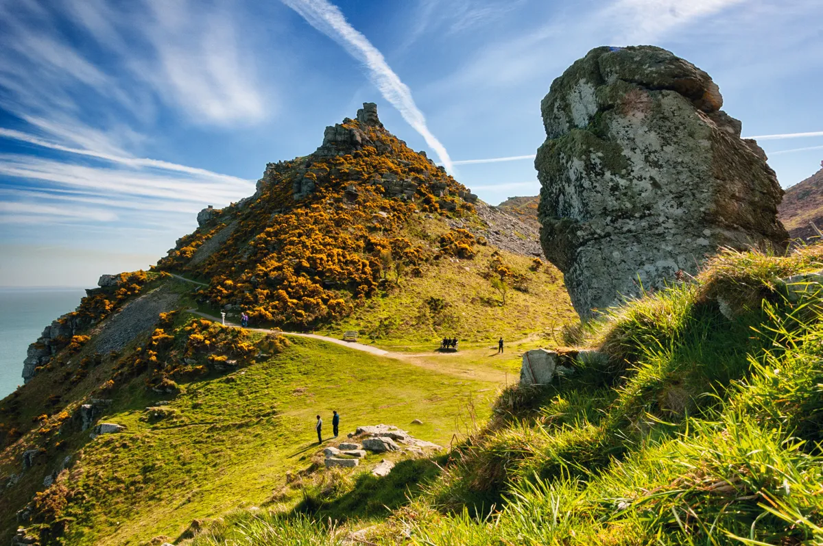
Soon you’ll pass beneath Rugged Jack, a tumbling tor towering over a spellbinding vista of the Exmoor coast as it runs along the Bristol Channel towards the Celtic Sea.
The story goes that druids were caught dancing on this vantage point by the Devil one Sunday, so he turned them to stone. Undeterred, a mischievous mob of characters still prances around here: the resident goats, who put local climbers to shame with their crag-clinging skills. These feral fellows enjoy the run of the rocks, as various herds have since the 11th century, when the Domesday Book noted the presence of goats here.

3. Castle Rock
As the path rounds the head and descends, clamber up the rough trail on the right to explore iconic Castle Rock, an arresting summit of angled stone, which offers a regal view across Wringcliff Bay. While descending, look back to see the profile of the White Lady formed by cracks in the stone. On the opposite side of the valley another rock formation, known as the Devil’s Cheese Ring, was used by author RD Blackmore as the home of witch Mother Meldrum in his locally based novel Lorna Doon
4. Secret beach
At the roundabout, a return trail leads down to the shingle and sand beach of Wringcliff Bay, a beautiful secluded cove that you can often have all to yourself in quieter months.

5. Woodland walking
Back on the road, descend towards Lee Abbey. Take the track that branches left opposite this Gothic mansion and climb the hill. As you approach Six Acre Wood, take a sharp left to follow the bridleway along a gentle tree-fringed incline.
6. Back through time
When you reach a switchback, leave the bridleway and go straight ahead along a trail that zig-zags through heather to join a path leading east above South Cleave, a protected part of the valley that boasts evidence of an Iron Age hillfort and prehistoric Celtic field systems. Stay on this trail as it wends right and then descends towards the car park where you started, passing a cemetery on the right. If you’ve worked up a hearty appetite, there are several options in the nearby clifftop town of Lynton to satisfy your hunger, including the cosy Crown Hotel on Market Street.
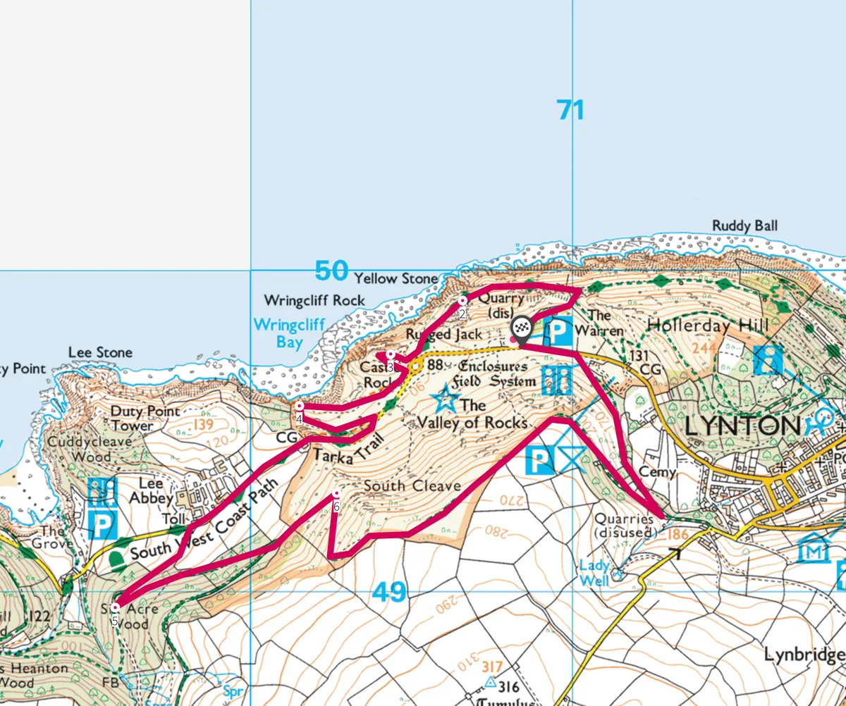
Valley of Rocks map
Valley of Rocks walking route and map.

