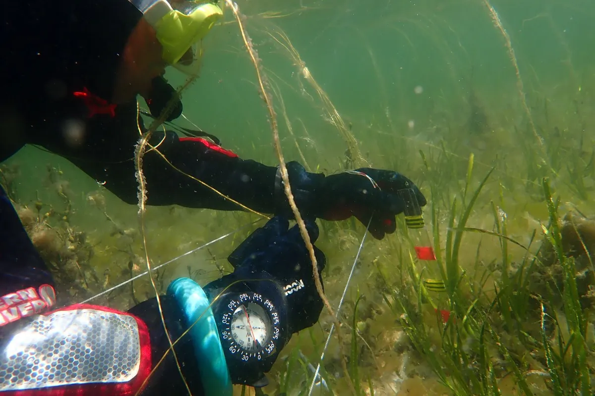
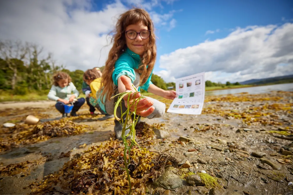
Over the summer of 2023, volunteers from across the UK got together for the new Great Seagrass Survey to find unmapped seagrass beds in coastal waters around the UK.
A total of 96 beds and 185 hectares were mapped around the country, from the Outer Hebrides in Scotland to the Channel Islands south of the English mainland. Moray Ocean Community near Inverness was the largest mapped area, covering 78 hectares.
Seagrass meadows are considered to be one of the most valuable coastal and marine ecosystems on Earth. But it is estimated that seagrass beds have declined by 92%. Worldwide, an area of seagrass the size of a football pitch (0.8 hectares) is being lost every 30 minutes.
The Great Seagrass Survey – a collaboration between Seawilding and the British Sub Aqua Club (BSAC) – aims to encourage the restoration of seagrass in British waters – and the rich ecosystems it supports.

“The biggest surprise was how much seagrass was found," says project organiser and Science and Survey Officer at Seawilding Katherine Knight.
"Most of the beds they discovered aren’t included in official records and could have been undiscovered for centuries so this is ground-breaking stuff."
"By knowing where seagrass is, more can be learnt about the threats it is facing as well as what is required to conserve it.”

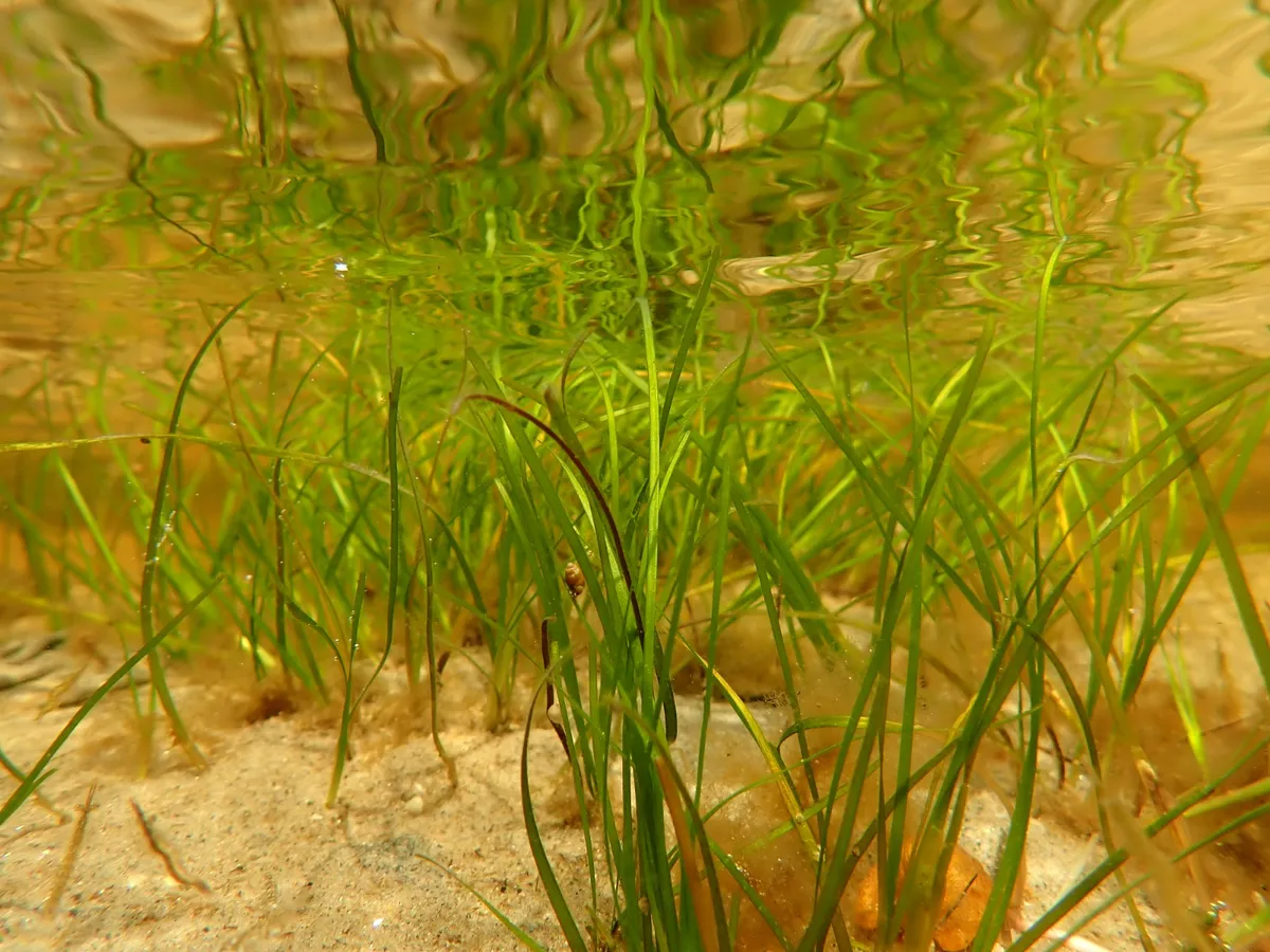
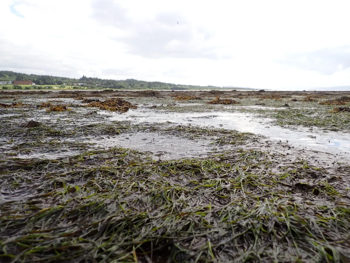
Two species of seagrass are found in UK waters, both of which were recorded during the survey: Zostera noltei, a seagrass often found on the beach at low tide; and Zostera marina, favouring shallow waters.
"Seagrass is notoriously hard to restore once it is lost, so these new beds are incredibly valuable for both biodiversity and carbon capture," says Danny Renton, CEO of Seawilding.
"We hope that these patches of endangered and unmapped seagrass - and the ones that the survey will reveal in the future - can be the cornerstone of new restoration projects inspired and driven by coastal communities."
- Oyster reef the 'size of a football pitch' created in North East England
- Ellie Harrison: save our seagrass meadows
- Seaweed guide: common UK species and how to identify them

As part of the Great Seagrass Survey, volunteers were asked to upload their findings onto the BSAC website. The information was then analysed, collated and shared by Seawilding, making it accessible to scientists and policy makers.
Mary Tetley, CEO of BSAC adds: "It’s great that volunteer BSAC scuba divers and snorkellers are helping to map UK seagrass beds."
"As custodians of the underwater world BSAC members are well placed to assist Seawilding and our environmental partners build up a picture of these precious coastal habitats and help protect them for the future.
"The forthcoming BSAC Underwater Surveyor course will give members a great skillset for becoming citizen scientists."

Find out how to get involved with this year's Great Seagrass Survey.
