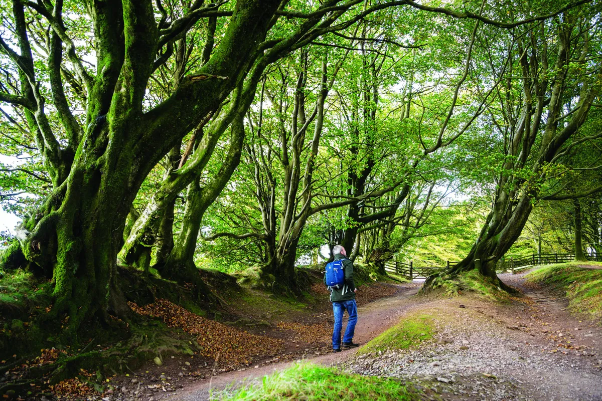
The Quantock Hills are one of the South West’s greatest secrets, offering beautiful panoramic views, ancient woodland and a rocky coastline full of rich geology.
Crowning the hills is a road that has been travelled for millennia by soldiers, travellers and farmers alike.

Make a wish
The Triscombe Stone car park is an ideal place from which to explore these hills. The Bronze Age stone itself is just two feet high but played an important historical role. Taking its name from the Celtic word ‘tris’, meaning meeting, it was a key gathering point on the droving route to Taunton. It is also said that if you sit on the stone, it will grant you a wish, so don’t forget to take a seat.
The drove road
Heading west from the Triscombe Stone, you will find yourself on a Saxon Army route, or ‘herepath’, known as King Alfred’s Way, marking his route to resist Viking invasion in the 9th century. Also known as The Drove Road, for centuries the route was well-used by local farmers moving cattle and sheep to the market in Taunton.
Related articles
The road ambles along the ridge for several miles. Thousands of years of use have carved the route into the landscape, with the road sinking almost six-feet deep into the earth in places.
While the tops of these hills were cleared in Neolithic times for grazing, the road is lined with a unique avenue of hedgebanks. Made from banks or walls – sometimes four-feet high – and topped with beech trees, these hedgebanks were frequently used in Devon and Somerset to mark boundaries.
Walking south-eastwards from the Triscombe Stone, the landscape opens out into heathland, surrounded by the trill of skylarks. You will soon reach Wills Neck – the highest point in the Quantocks at 384m – and on a clear day you can spy the avenue of hedgebanks snaking their way along the hills, as well as enjoy panoramic views across to Wales and Exmoor.
