Yearning for wide open spaces? This wonderful high-level walk meanders past a storied ruin and ends at an attractive waterfall in a little-visited, yet glorious, pocket of the Yorkshire Dales.

Crackpot Hall walk
6 miles/9.6km | 4 hours | moderate
1. Muker
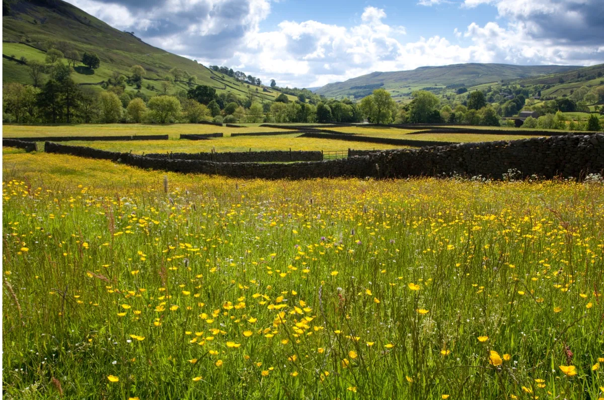
The walk starts in the little village of Muker in the heart of Swaledale, a lush green valley with a patchwork of tiny fields and barns. This has never been one of the more popular tourist dales, but our walk takes in the area at its best and most dramatic. Take the little lane that heads north from the main road near the church. This eventually leads to a stony path zig-zagging up the hill with a view to the road snaking across Buttertubs Pass. Just before reaching the top of the hill, turn right to join the Pennine Way.
2. Swinner Gill
This brings you to a narrow path along the edge of the valley. Down below, the river forms a silver thread through green fields, but here at the top the landscape is rocky and craggy. The path becomes rougher and the view opens out to the deep valley of Swinner Gill. The path becomes steeper and progress slows as you pick your way through the rocks. The view is temporarily lost behind a patch of woodland, but by way of consolation the going gets much easier.
3. Crackpot Hall
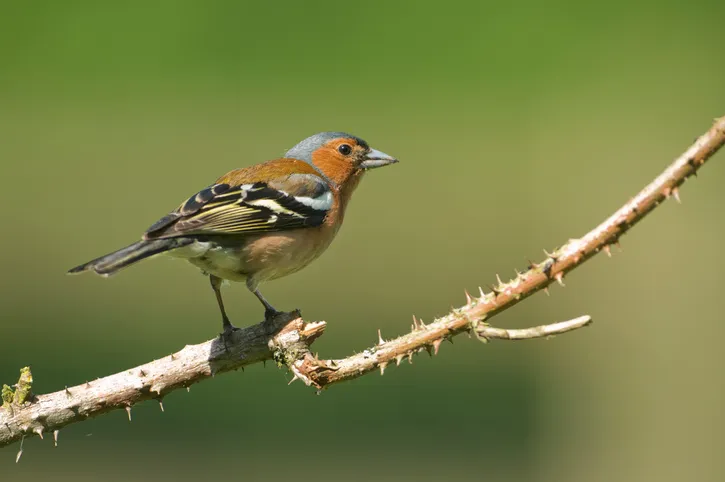
Keep to the main path then just before reaching the little village of Keld, where fields appear on the left, turn sharp right to cross the footbridge below its famous falls. This is a popular spot for picnics, and provides rich pickings for the local chaffinches. Take the broad track across the top of the falls. This runs across the face of the hill through an area of old mine workings to reach the ruins of Crackpot Hall.

4. Swaledale
The Hall is not, as the name might suggest, the remains of some grand mansion, but a remote old farmhouse. The intriguing name actually comes from the Norse for ‘crow’ and pot, the local name for a cave. Stories are told of feral children once living here, but a recent BBC radio story discovered that they were simply the farmhouse’s family, roaming free in the 1930s. What a view they once enjoyed, of the rugged splendour of Swinner Gill and down to the valley leading back to Swaledale. Past the ruins, take the path downhill towards the river.

5. Bring your boots
The return to Muker meanders along the rim of the valley with quite a different perspective, looking up at the crags instead of down from them. Cross the river on the footbridge and turn right on the riverside path as far as the barn. Double back to take the path heading uphill to the corner of the field to join a lane back to Muker. Conveniently, it arrives at the Farmers Arms, a traditional pub that proudly proclaims: “Muddy boots welcome”.
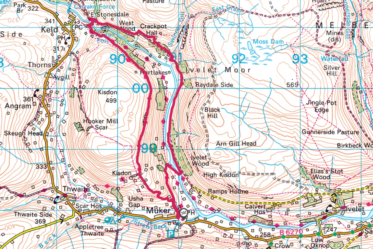
Crackpot Hall map
Crackpot Hall walking route and map

