The South Downs Way is not a route for the hillphobic. Opened in 1972 and extended westward 15 years later, the long-distance trail spends the vast majority of its 100-mile journey across Hampshire and Sussex either climbing a hill, descending a hill, or surfing the grassy waves of exposed high ridges (which can make it rather bracing in winter).
The path runs the length of the sumptuous South Downs National Park and after leaving Winchester avoids civilisation as much as possible. However, from time to time it will deign to pass through a small village or dozing hamlet in the Weald below whenever the mighty chalk ridge is interrupted by one of the rivers that have patiently carved a path across it over the millennia.
In all, there’s a challenging 4,150m of ascents – the equivalent of climbing Scafell Pike four and a half times. However, since the highest point is the relatively modest peak of Butser Hill (270m), the route is accessible to any walker with a reasonable level of fitness, and typically takes between six and eight days to complete.
England's most spectacular walks
South Downs Way map
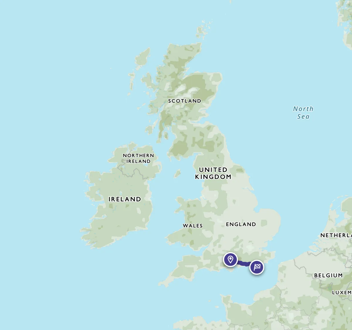
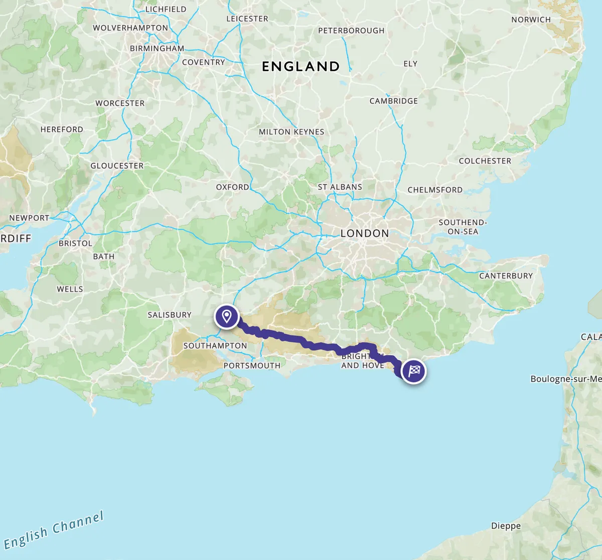
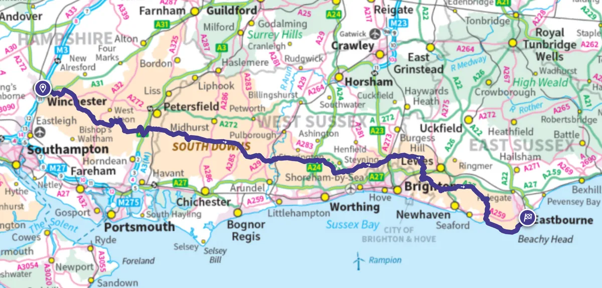
How long does it take to walk the South Downs Way?
Most people walk the route from west to east, with the prevailing wind at their backs. The following itinerary can be done as a single 100-mile hike over six days, two three-day trips, three weekenders or six separate walks.
South Downs Way route
Day 1 – Winchester to Leydene Park (19 miles / 30.5km)
The South Downs Way starts its journey east in the hubba-bubba of central Winchester, almost in the shadow of the cathedral. Yet after a brief sojourn beside the fast-flowing Itchen, you soon cross a footbridge over the M3 and head across a huge field, accompanied by birdsong and dragonflies. The distinctive South Down ridge can be seen ahead.
Once up on the ridge and nearing the delightfully named Cheesefoot Head, walkers can stop for an energising cuppa at the Baker and White coffee van – the first of many (often seasonal) pop-up kiosks and cafés along the Way. Circling buzzards monitor your progress along broad tracks flanked by high hedges bristling with wild roses. After a few miles, the trail descends to the village of Exton where you can have lunch at The Shoe.
Fed and watered, climb onto Old Winchester Hill for a spectacular panorama of Wealden fields to the north. The final act of the day is to descend to Leydene Park and the Sustainability Centre for a well-deserved night’s rest.
Where to stay in Leydene Park?
The Sustainability Centre at Leydene Park offers B&B, hostel, yurts and a campsite. For an extremely peaceful and comfortable night, we recommend staying in a yurt before sampling a tasty and inexpensive breakfast at their veggie/vegan Beech Café.
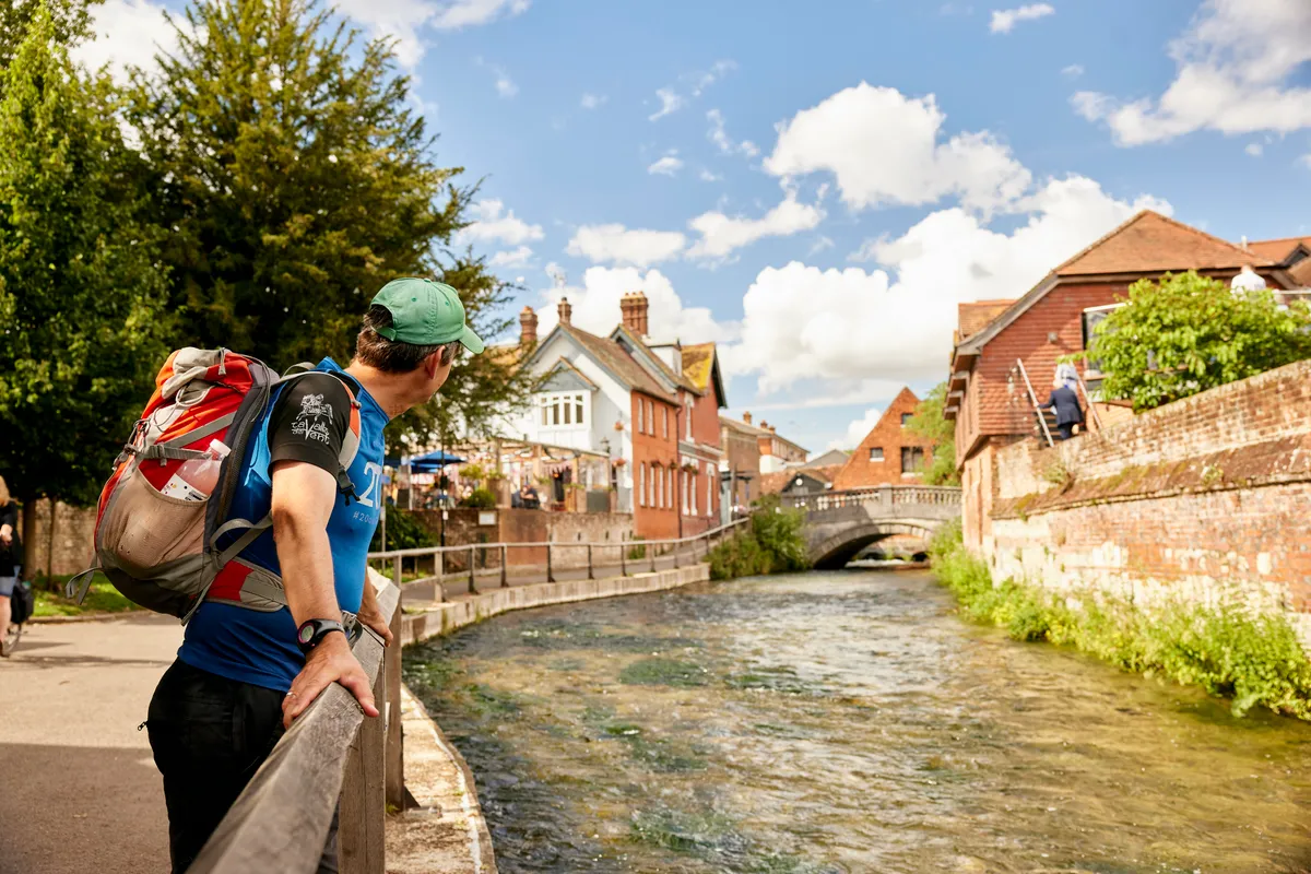
Day 2 – Leydene Park to Cocking (16.5 miles / 26.5km)
For the perfect start to the day, don't miss breakfast at the Beech Café, centred in its own 55-acre woodland.
The South Downs Way continues eastwards. Stop for an early lunch at the Beechwood Kitchen, then take a short detour (if you have time) to Butser Ancient Farm. The team here uses the same materials, tools and methods employed by Stone Age, Bronze Age, Roman, Saxon and sundry other builders.
From here it is a glorious afternoon’s walk, staying high on the downland ridge with Wealden views all the way to Cocking.
Where to stay in Cocking?
200-year-old flint-and-brick Moonlight Cottage in Cocking is not only a guest house but also a bright and cheery licensed café.
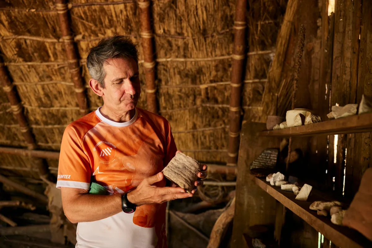
Day 3 – Cocking to Amberley (12 miles / 19km)
Sussex resident Rudyard Kipling called his local hills: "Our blunt, bow-headed, whale-backed Downs." And so they must seem on this section when viewed from the plain below.
Once you've climbed up from Cocking, you'll happen upon a series of undulating bumps as the path passes through a considerable woodland. Later on, Sutton Down and Bignor Hill provide two more of Kipling’s whale backs, the latter playing host to a bowl barrow, a Neolithic camp, some rare chalk heathland and a dragon (according to Celtic legend, anyway).
Only once all day does the Way take you down to the Weald. By then, you may well be parched and so pleasantly surprised to come across the Cadence café, a converted shipping container at Littleton Farm. This is one of five recently launched hubs for cyclists, walkers and runners tackling the South Downs Way.
Where to stay at Amberley?
Amberley’s Foxleigh Barn has a lovely bijou campsite (open Easter-October). There’s a two-night minimum stay at their cottage and shepherd’s hut, making them ideal if you fancy a half-way rest day.
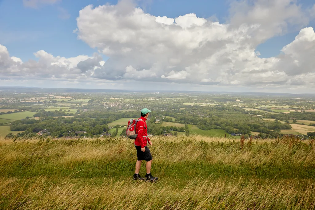
Day 4 – Amberley to Pyecombe (20.5 miles / 33km)
Walkers can begin day four with a visit to Amberley Museum. Set in a former chalk pit, it’s a fascinating collection of local industrial heritage, including a bus garage, fire station, electricity hall, print shop and much else besides.
By opting for the more direct of the two routes the Way offers during this section (the other arm passing through tiny Washington), you will spend the entire day without encountering a single village – the most metropolitan adventure is a saunter through the single-lane hamlet of Botolphs, home to a fine square-towered Saxon church and once a thriving community made prosperous by shipping salt along the River Adur.
Instead you'll enjoy the natural wonders of Chanctonbury Ring, Fulking Hill and Devil’s Dyke and, after a long sweaty grind up Truleigh Hill, a cheeky beer in the YHA Truleigh café before reaching Pyecombe.
Where to stay in Pyecombe?
Duck Lodge in Pyecombe is a luxurious en-suite garden bedroom with cooking facilities and a hot tub to soothe aching limbs. Friendly owner Keith’s breakfasts are a wonder to behold (and, indeed, eat). Baggage transfer also offered.
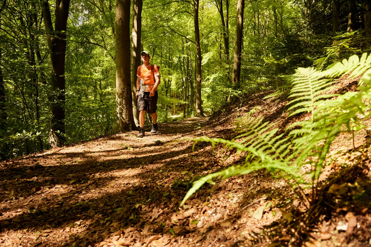
Day 5 – Pyecombe to Southease (14.5 miles / 23km)
Day five begins with a purposeful climb up to the Clayton windmills from the village, which was split in twain in 1603 when plague struck and panicked inhabitants resettled half a mile away.
Soon you pass the site of the Battle of Lewes (1264), where Simon de Montfort defeated and captured Henry III and became the de facto ruler of England. The impressive Lewes castle still dominates the ancient county town below.
Dipping down to the Ouse and the village of Rodmell, the Way arrives at Monks House, for many years the home of Virginia and Leonard Woolf. The house and garden give a fascinating insight into their lives. Virginia was a prolific walker in the area, declaring that "every direction bears fruit". And she was right –the broad Ouse Valley guarded by the Iron Age hillfort of Mount Caburn is a hiker’s delight. A free app called In Their Footsteps contains a narrated ‘Virginia Woolf walk’ which is well worth downloading.
A short stroll on brings you to the small village of Southease.
Where to stay in Southease?
South Downs YHA at Southease is housed in a venerable farmhouse. Along with its dorms, private rooms, bell tents and small campsite, they also offer two styles of cosy pods, while the café does an amazing unlimited breakfast deal.
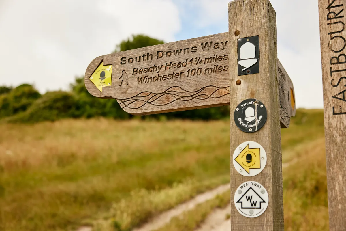
Day 6 – Southease to Eastbourne (17.5 miles / 28km)
And so to your final day and a bracing climb up onto Itford Hill and Firle Beacon, where some of our ancient ancestors once mouldered in a long barrow.
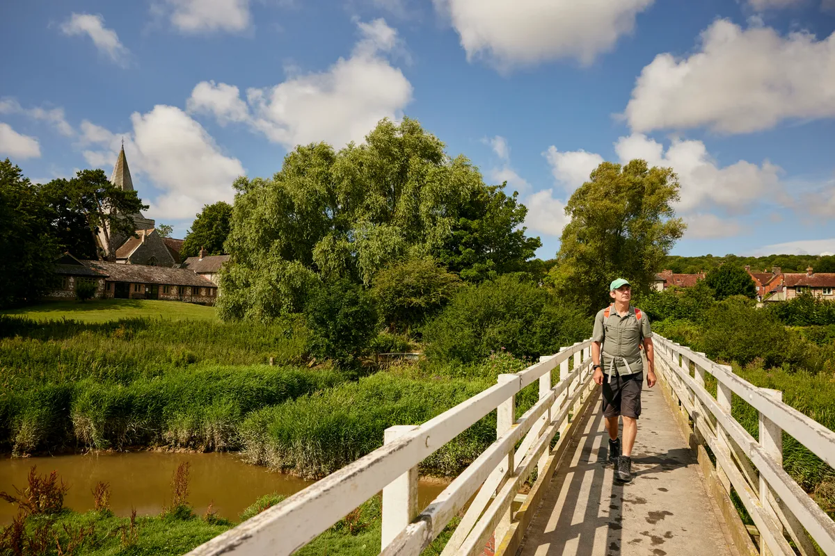
At Alfriston, a popular tourist spot with three pubs, walkers can plunder the excellent deli at the village store for lunch, which can then be eaten in the wonderful Arts and Crafts garden at the Clergy House. In 1896, this rare medieval Wealden hall-house became the National Trust’s very first acquisition. Though small, it contains layers of enthralling history.
It’s at Alfriston that all eastward-bound walkers must make a decision: to take the eight-mile inland path or the 10.5-mile coastal route to Eastbourne. The former takes in the Long Man of Wilmington (remarkably, the largest depiction of a human in Europe) and the lovely village of Jevington, birthplace of banoffee pie.
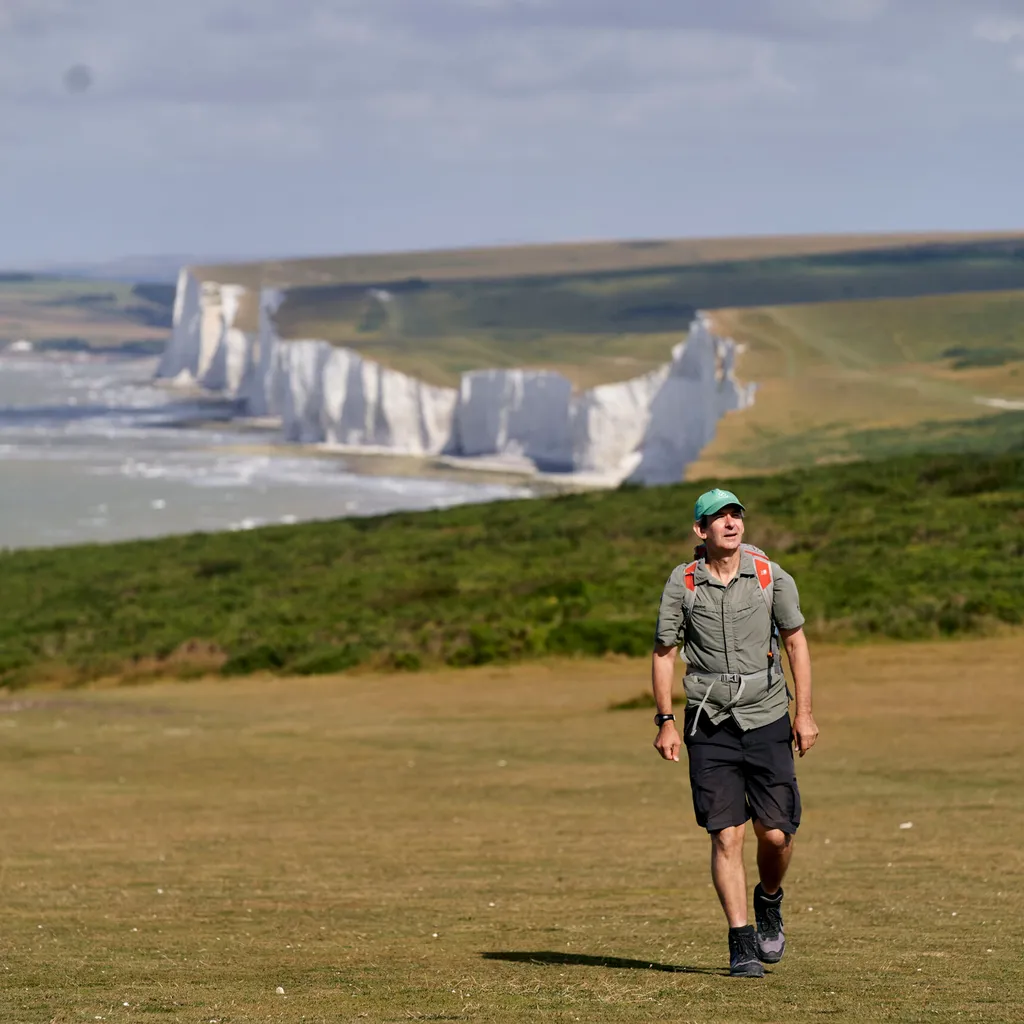
The latter coastal route follows the Cuckmere River, ascends for soul-easing views of Cuckmere Haven, then gets on board Britain’s greatest natural rollercoaster – the wildly undulating Seven Sisters cliffs – a magnificent coda to this National Trail.
The coastal option also affords the chance to visit The Beachy Head Story, a museum boasting artefacts as diverse as the skeleton of a young Romano-British woman from Cyprus and Lewis Carroll’s unique ‘bed desk’.
With much to ponder, stroll the final two miles down grassy clifftops into Eastbourne. Walkers can mark the journey’s end on the seafront with chips and a go on the big wheel – the pods halt 50m up in the air, allowing you to look back west at the mighty chalk Downs plunging into the English Channel, providing drama to the very end.
Where to stay in Eastbourne?
Once a grand Victorian residence, Eastbourne’s Hydro Hotel is such an elegant throw-back to times past that one can easily imagine Agatha Christie wandering in. Enjoy sea views, an outdoor heated swimming pool and even a croquet lawn.
South Downs Way cycle
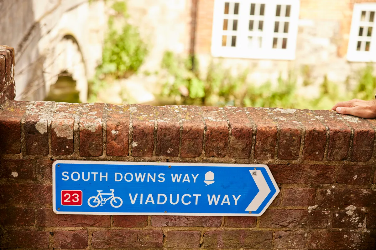
The South Downs Way holds a proud distinction: it’s the first National Trail designed to be walked or cycled (or indeed horse-ridden). Most of the Way is on bridleways, with some quiet road sections. Where it uses footpaths, cyclists are diverted onto alternative waymarked routes.
Riders typically take two to four days (on mountain or gravel bikes), with the innumerable climbs presenting a real challenge. When it rains the chalky ground can also become extremely slippery. Find out more: southdownsway.org/activities/cycling.
Camping on the South Downs Way
Happily, there are more than enough campsites close enough (or slap-bang on) the South Downs Way to make it possible to walk the entire route under canvas. Campsites include Holden Farm, Housedean Farm, Alfriston Camping Park, and Truleigh Hill and Southease YHA.
Getting to and from the start and end of the South Downs Way
Winchester and Eastbourne both have railway stations (with direct London services) in easy walking distance of the start/end. They’re also on multiple bus routes and have a wide choice of car parks. You can join/leave the Way by train at Amberley (see Days 3 & 4) and Southease (Days 5 & 6).
Food and drink on the South Downs Way
A multiple award-winning pub, The Shoe at Exton sports a riverside beer garden and serves extremely nourishing home-cooked food, real ales and coffee from their own Hampshire Pantry roastery. They even have their own extremely popular bakery.
You can eat inside or outside at Beechwood Kitchen, a recent addition to the Queen Elizabeth Country Park. Stop for a meal or a snack, a warming drink or an iced coffee. Takeaway also available.
The little courtyard at Exceat’s Saltmarsh Kitchen is a fine spot for some liquid refreshment and a homemade light meal packed with local ingredients.

Baggage transfers on the South Downs Way
Don’t fancy lugging a rucksack the whole way? South Downs Bags Transfers will collect your baggage from your accommodation (not including campsites) and convey it to your next stop. From April–September (except the last fortnight in August), £30/transfer for one bag up to £40 for four bags.
South Downs Way guidebook
We recommend the Cicerone South Downs Way guide, written by prolific walking guide writer, the late Kev Reynolds. With photographs throughout, it includes interesting historical nuggets, things to see and do, accommodation and refreshments along the way, and clear directions both eastward and westward split into 12 sections.
East Dean – on the inland route between Alfriston and Eastbourne – is generally believed to be the village Sherlock Holmes retired to – there’s even a blue plaque marking the event. Read all about it in Conan Doyle’s short story His Last Bow.

